Brookhouse Wood
Wood, Forest in Herefordshire
England
Brookhouse Wood

Brookhouse Wood is a picturesque woodland located in Herefordshire, England. Covering an area of approximately 50 acres, it is renowned for its natural beauty and diverse range of flora and fauna.
The wood is predominantly made up of broad-leaved trees, with a mix of oak, ash, beech, and birch dominating the landscape. These towering trees provide a dense canopy that allows only dappled sunlight to filter through, creating a serene and peaceful ambiance. Underneath the canopy, a rich undergrowth of ferns, mosses, and wildflowers carpet the forest floor, adding to its enchanting charm.
The wood is crisscrossed by a network of well-maintained footpaths, allowing visitors to explore its various nooks and crannies. These pathways lead to hidden glades, babbling brooks, and small ponds, providing ample opportunities for wildlife spotting and birdwatching. The wood is home to a variety of animals, including deer, foxes, badgers, and a wide array of bird species.
Brookhouse Wood is not only a haven for nature enthusiasts but also a popular destination for recreational activities. Local residents and tourists often visit the wood for leisurely walks, picnics, and family outings. The tranquil atmosphere and breathtaking scenery make it an ideal spot for relaxation and unwinding amidst nature.
Managed by the local authorities, Brookhouse Wood is a well-preserved natural treasure that showcases the beauty of Herefordshire's countryside. Its accessibility, biodiversity, and serene ambiance make it a must-visit destination for anyone seeking solace in nature.
If you have any feedback on the listing, please let us know in the comments section below.
Brookhouse Wood Images
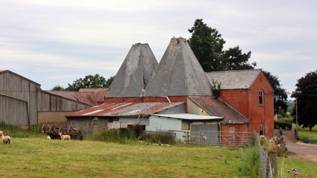
Images are sourced within 2km of 52.16503/-2.4992411 or Grid Reference SO6551. Thanks to Geograph Open Source API. All images are credited.


Brookhouse Wood is located at Grid Ref: SO6551 (Lat: 52.16503, Lng: -2.4992411)
Unitary Authority: County of Herefordshire
Police Authority: West Mercia
What 3 Words
///exhaling.glow.painter. Near Bromyard, Herefordshire
Nearby Locations
Related Wikis

Avenbury
Avenbury is a civil parish in Herefordshire, England. It is on the A465, just south of Bromyard, and by the River Frome. The population of this parish...

Acton Beauchamp
Acton Beauchamp () is a village and civil parish in Herefordshire, England. It is approximately 12 miles (19 km) north-east from the city and county town...

Queen Elizabeth High School, Bromyard
Queen Elizabeth High School is a high school with academy status situated in Herefordshire, on the outskirts of Bromyard. The school meets the educational...
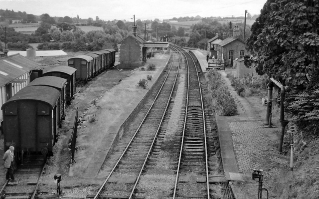
Bromyard railway station
Bromyard railway station was a station in Bromyard, Herefordshire, England. The station was opened on 22 October 1877 and closed after the last train on...
Nearby Amenities
Located within 500m of 52.16503,-2.4992411Have you been to Brookhouse Wood?
Leave your review of Brookhouse Wood below (or comments, questions and feedback).