Aston
Civil Parish in Derbyshire High Peak
England
Aston
Aston is a civil parish located in Derbyshire, England. It is situated about seven miles east of the city of Derby and is part of the Amber Valley district. Aston covers an area of approximately 5.4 square miles and has a population of around 1,500 people.
The parish is predominantly rural, characterized by rolling hills, farmland, and picturesque countryside. The village of Aston itself is small but boasts a charming and close-knit community. It features a mix of traditional stone houses and more modern developments. There is a local primary school, a village hall, and a church that dates back to the 13th century.
The area is known for its natural beauty and offers a range of outdoor activities. There are several walking and cycling routes that allow visitors to explore the surrounding countryside. Aston also benefits from its close proximity to the Peak District National Park, which is a popular destination for outdoor enthusiasts.
Despite its rural setting, Aston is well-connected to nearby towns and cities. The A52 road passes through the parish, providing easy access to Derby, Nottingham, and other major cities. The nearest railway stations are located in Derby and Long Eaton, both of which offer regular services to London and other parts of the country.
Overall, Aston, Derbyshire offers a peaceful and idyllic setting, making it an attractive place to live for those seeking a rural lifestyle within easy reach of urban amenities.
If you have any feedback on the listing, please let us know in the comments section below.
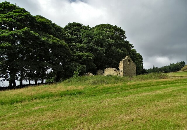
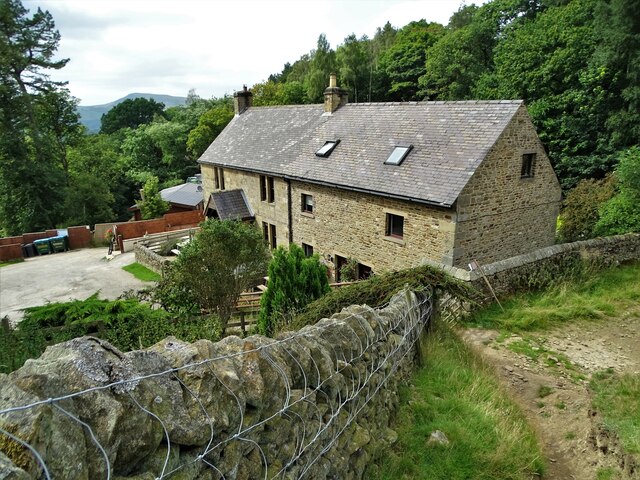
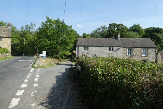
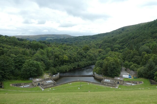
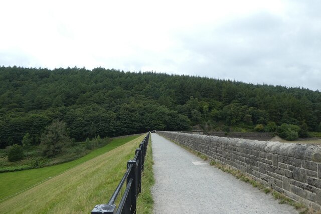
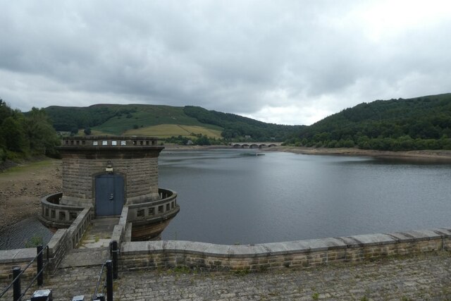
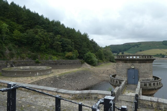
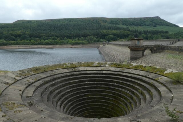
Aston Images
Images are sourced within 2km of 53.354087/-1.721874 or Grid Reference SK1884. Thanks to Geograph Open Source API. All images are credited.


Aston is located at Grid Ref: SK1884 (Lat: 53.354087, Lng: -1.721874)
Administrative County: Derbyshire
District: High Peak
Police Authority: Derbyshire
What 3 Words
///stunts.thundered.prevents. Near Hope Valley, Derbyshire
Nearby Locations
Related Wikis

Aston, High Peak
Aston (Old English: East farm or settlement) is a village and civil parish in the High Peak district of Derbyshire, England, located in the Peak District...
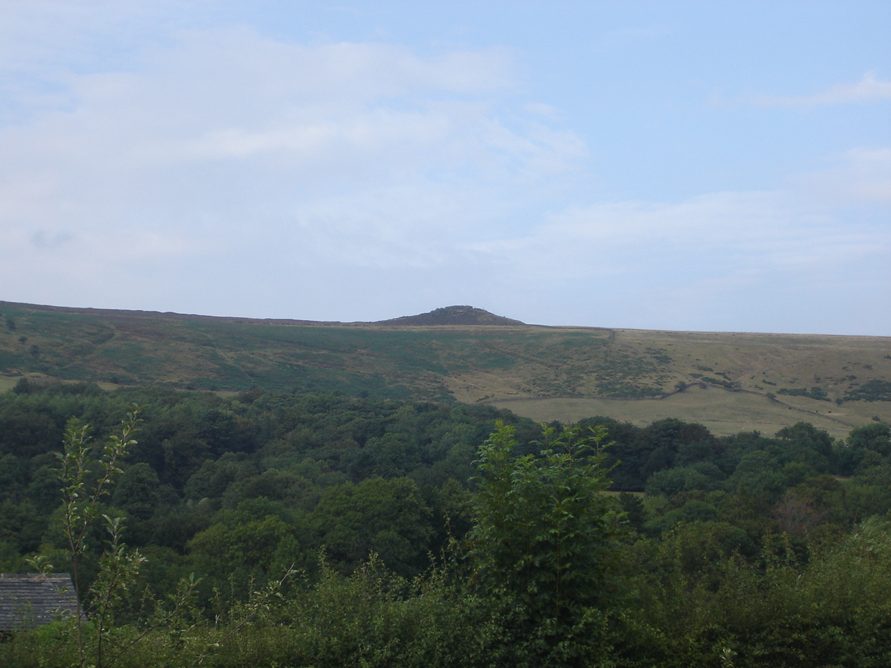
Win Hill
Win Hill is a hill north west of Bamford in the Derbyshire Peak District of England. Its summit is 462 m (1,516 ft) above sea level and it is bounded...
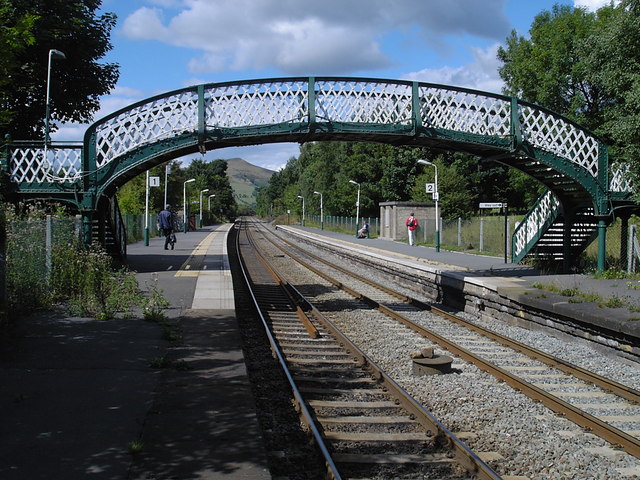
Hope railway station (England)
Hope railway station serves the villages of Hope and Brough in the Derbyshire Peak District of England, 14+3⁄4 miles (23.7 km) west of Sheffield. The station...

Thornhill, Derbyshire
Thornhill is a village and civil parish in the county of Derbyshire, England, in the Peak District, south of Ladybower Reservoir and east of Castleton...

Yorkshire Bridge
Yorkshire Bridge is a small hamlet at grid reference SK200850 near the Ladybower Reservoir dam in the English county of Derbyshire. Administratively the...
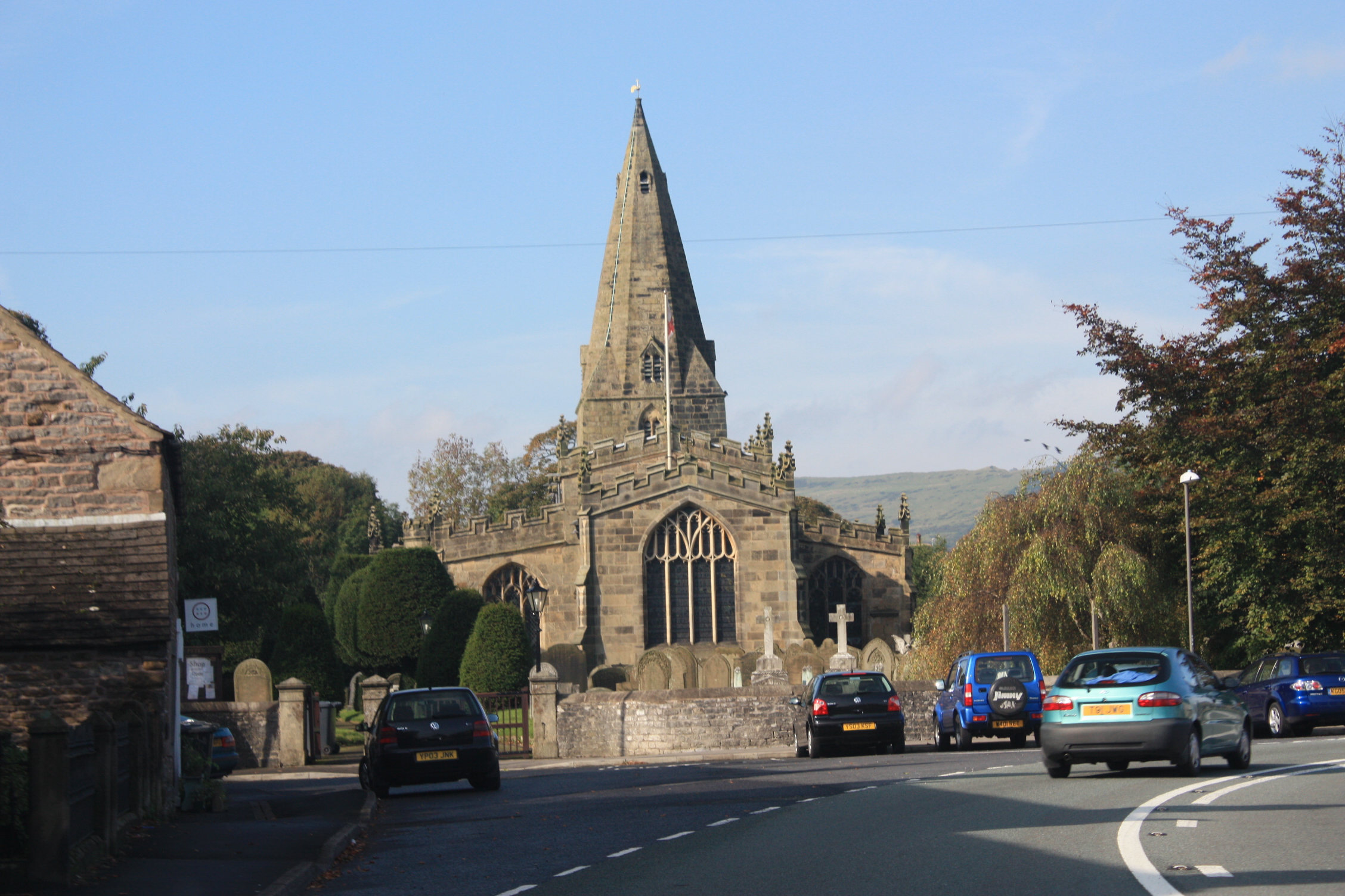
Hope, Derbyshire
Hope is a village and civil parish in the Derbyshire Peak District, in England. The population at the 2011 Census was 864. It lies in the Hope Valley...
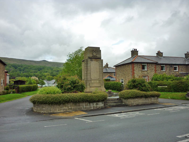
Hope War Memorial
Hope War Memorial is a 20th-century grade II listed war memorial in Hope, Derbyshire. == History == The sandstone memorial is dedicated to the inhabitants...
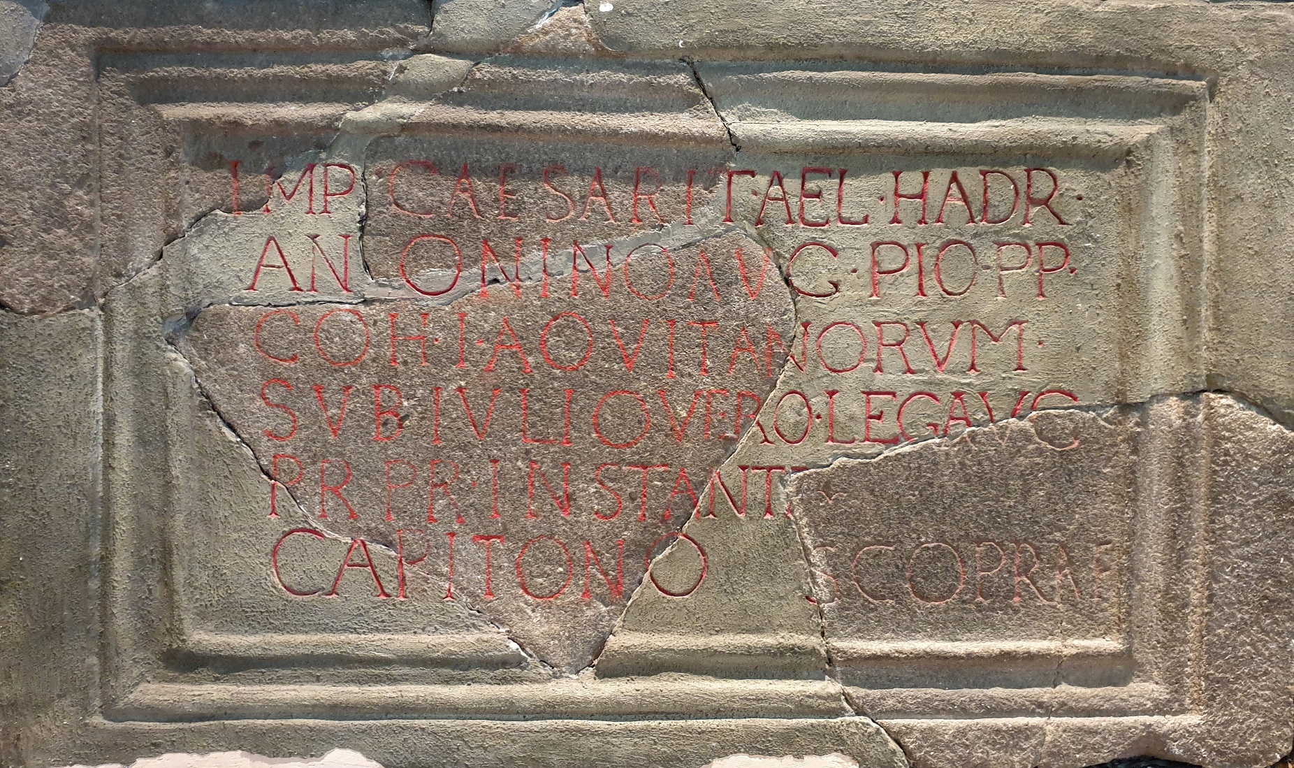
Navio Roman Fort
Navio Roman fort overlooks a tight bend of the River Noe at Brough-on-Noe near Hope, Derbyshire, in England. Navio fort and vicus (civilian settlement...
Nearby Amenities
Located within 500m of 53.354087,-1.721874Have you been to Aston?
Leave your review of Aston below (or comments, questions and feedback).