Aston
Civil Parish in Hertfordshire East Hertfordshire
England
Aston

Aston is a civil parish located in Hertfordshire, England. Situated in the East Hertfordshire district, it covers an area of approximately 3.5 square miles. The village of Aston is nestled in a rural setting and is surrounded by picturesque countryside.
Aston has a long history, with evidence of human habitation dating back to prehistoric times. The village is mentioned in the Domesday Book of 1086, indicating its significance in medieval times. The area was predominantly agricultural, and farming played a vital role in the local economy for many centuries.
Today, Aston retains its rural charm and peaceful atmosphere. It is a close-knit community with a population of around 600 residents. The village features a mix of historic and modern buildings, including charming thatched cottages and contemporary homes.
Aston offers a range of amenities for its residents. These include a village hall and a primary school, providing essential services and community spaces. The surrounding countryside provides ample opportunities for outdoor activities such as walking, cycling, and horse riding.
Transport links in Aston are relatively limited. The nearest railway station is in the nearby town of Stevenage, approximately six miles away. However, the village is well-connected by road, with the A1(M) motorway passing just to the west, providing easy access to larger towns and cities in the region.
In summary, Aston is a beautiful and historic village in Hertfordshire, known for its rural setting, close-knit community, and agricultural heritage. It offers a peaceful and idyllic lifestyle for its residents, with easy access to the surrounding countryside and nearby towns.
If you have any feedback on the listing, please let us know in the comments section below.
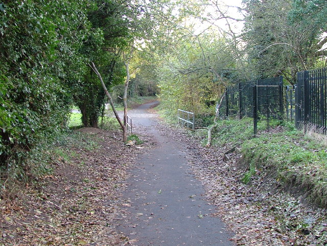
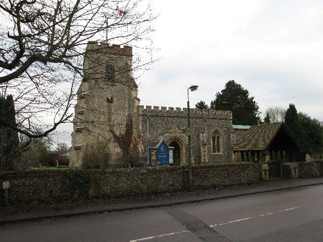
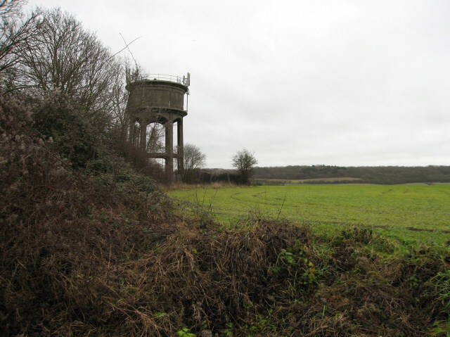
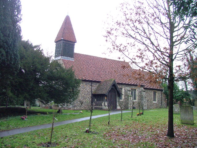
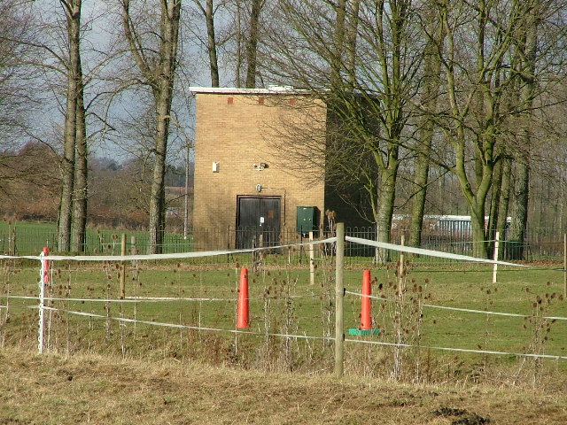
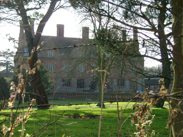
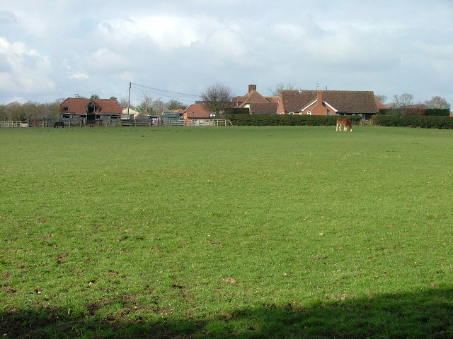
Aston Images
Images are sourced within 2km of 51.892529/-0.150597 or Grid Reference TL2723. Thanks to Geograph Open Source API. All images are credited.


Aston is located at Grid Ref: TL2723 (Lat: 51.892529, Lng: -0.150597)
Administrative County: Hertfordshire
District: East Hertfordshire
Police Authority: Hertfordshire
What 3 Words
///roofed.animator.dishing. Near Walkern, Hertfordshire
Nearby Locations
Related Wikis

Aston, Hertfordshire
Aston is a village and civil parish in the East Hertfordshire district of Hertfordshire, England. According to the 2001 census it had a population of...

Aston End
Aston End is a hamlet in Hertfordshire, England. It is in the civil parish of Aston. It features a pub and a butchers, as well as a few houses. == References... ==

Benington High Wood
Benington High Wood is a 20.7-hectare (51-acre) biological Site of Special Scientific Interest in Benington, Hertfordshire. The planning authority is East...

Ridlins Mire
Ridlins Mire is a 1.6-hectare (4.0-acre) nature reserve managed by the Herts and Middlesex Wildlife Trust in Stevenage, Hertfordshire, England.This wetland...

Stevenage (UK Parliament constituency)
Stevenage is a constituency in Hertfordshire represented in the House of Commons of the UK Parliament since 2010 by Stephen McPartland, a member of the...

Aston Bury
Aston Bury is a manor house near Aston, Hertfordshire, England. It is Grade I listed building.It was built in the mid 17th century, possibly by the Boteler...

Barnwell School
Barnwell School is a coeducational secondary school and sixth form that was established in 1959 and is situated in the south of Stevenage, Hertfordshire...

Shephall
Shephall (SHEP-all) is a neighbourhood of the new town of Stevenage in Hertfordshire. It was formerly a separate village and parish, being absorbed into...
Related Videos
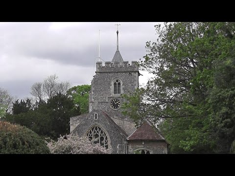
NHRG e-walks, e-walk 63, Stevenage Circular. 12/5/21
Another delightful walk of 11.7 miles through the East Herts countryside on a now classic 'Maypril' day. Setting out from the ...

Family time #ukadventure #travel #britain #visitbritain #love #unitedkingdom #lutontown #fairland
Enjoying family time❤️❤️#youtubeshorts #viral.


Berkeley Close Road
Berkeley Close Broadwater Stevenage UK.
Nearby Amenities
Located within 500m of 51.892529,-0.150597Have you been to Aston?
Leave your review of Aston below (or comments, questions and feedback).