Ashley
Civil Parish in Cheshire
England
Ashley
Ashley is a civil parish located in the county of Cheshire, England. It is situated approximately 5 miles to the east of the town of Knutsford and about 11 miles south of Manchester.
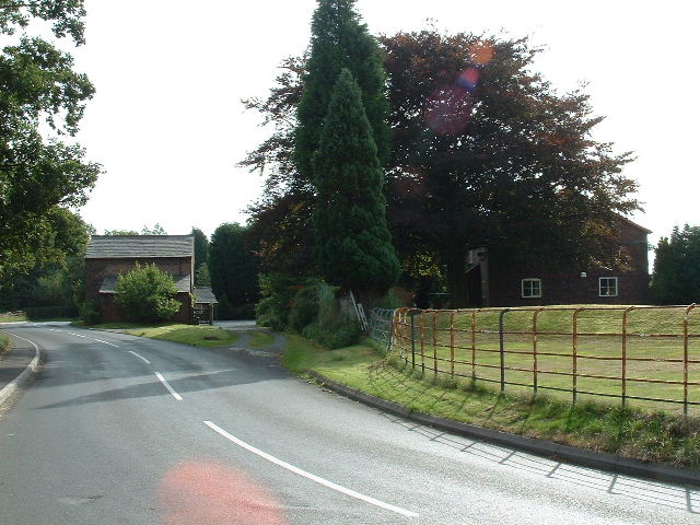
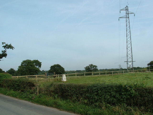
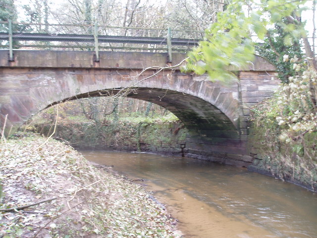
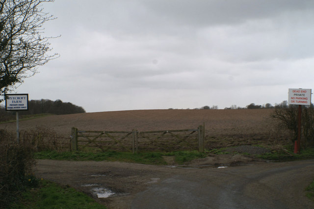
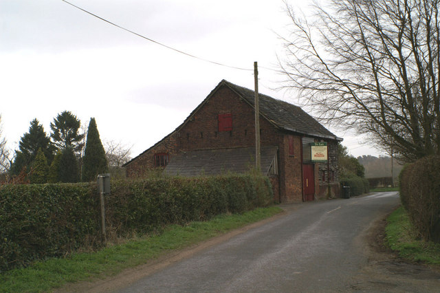
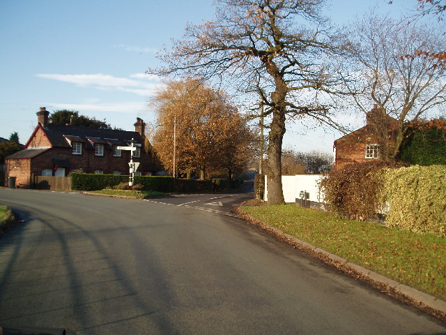
The parish of Ashley covers an area of around 2.5 square miles and is predominantly rural in nature, characterized by farmland and open countryside. The landscape is dotted with traditional Cheshire farmhouses and charming cottages, providing a picturesque setting for residents and visitors alike.
The population of Ashley is relatively small, with around 500 residents living in the area. Despite its size, the parish has a strong sense of community and a vibrant village atmosphere. The local community actively participates in various events and activities organized throughout the year, fostering a strong neighborhood spirit.
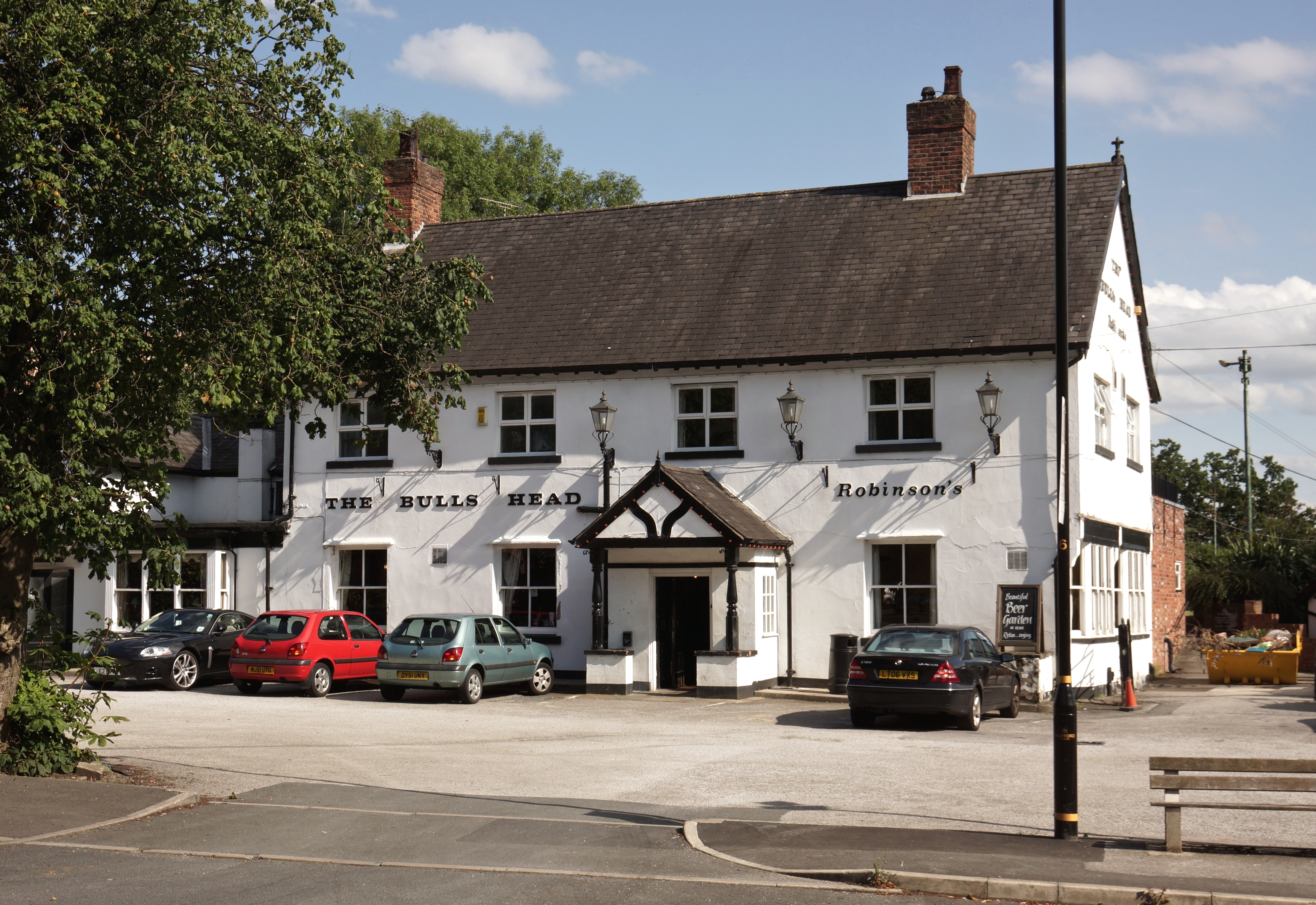
The parish is served by a few amenities, including a primary school, a church, and a pub. The primary school, Ashley School, provides education for children aged between 4 and 11 and is highly regarded for its academic standards. The church, St. Elizabeth's, is a beautiful historic building dating back centuries, offering a place of worship and community gatherings.
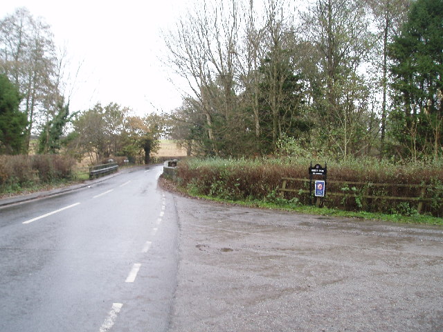
Ashley is well-connected to surrounding areas by road, with the A50 passing through the parish, providing convenient access to nearby towns and cities. The nearby town of Knutsford offers a wider range of amenities, including shops, restaurants, and leisure facilities.
Overall, Ashley, Cheshire, offers a tranquil and idyllic rural living experience, while still providing easy access to nearby towns and cities for additional amenities and services.
If you have any feedback on the listing, please let us know in the comments section below.
Ashley Images
Images are sourced within 2km of 53.353444/-2.335852 or Grid Reference SJ7784. Thanks to Geograph Open Source API. All images are credited.


Ashley is located at Grid Ref: SJ7784 (Lat: 53.353444, Lng: -2.335852)
Unitary Authority: Cheshire East
Police Authority: Cheshire
What 3 Words
///begin.motor.flats. Near Ashley, Cheshire
Nearby Locations
Related Wikis
Ashley, Cheshire
Ashley is a village and civil parish in Cheshire, England. At the 2001 census, it had a population of 261. The village is close to the border with Greater...

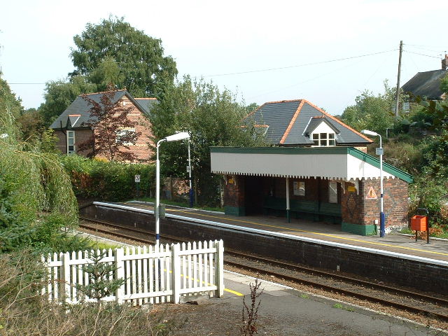
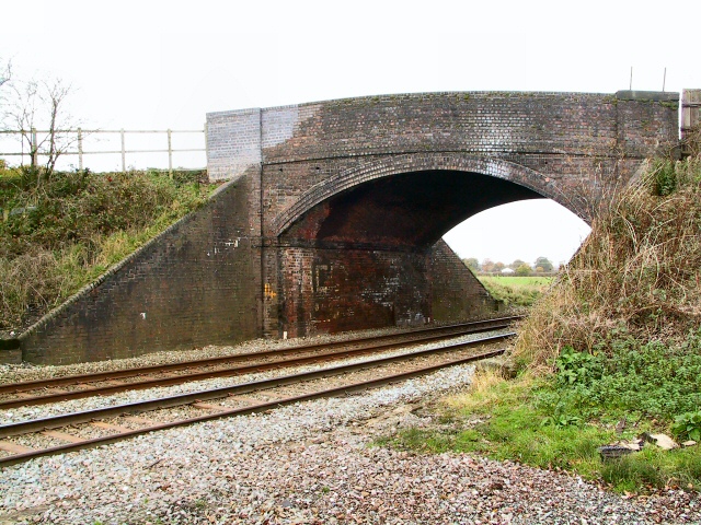
Ashley railway station
Ashley railway station is in the village of Ashley in Cheshire, England. It is located on the Mid-Cheshire line 17+3⁄4 miles (28.6 km) southwest of Manchester...

St Elizabeth's Church, Ashley
St Elizabeth's Church is on Ashley Road in the village of Ashley, Cheshire, England. It is an active Anglican parish church in the deanery of Bowdon,...

Ashley Hall, Cheshire
Ashley Hall is a country house standing to the north of the village of Ashley, Cheshire, England. It dates from the late 16th to the early 17th century...
Warburton Green
Warburton Green is a district of Hale Barns, Greater Manchester. It is situated to the south east of the centre of the village, close to the M56 and River...
Hale Barns
Hale Barns is a village near Altrincham in Greater Manchester, England, 7 miles (11 km) south-west of Manchester city centre, 2 miles west of Manchester...

St Ambrose College
St Ambrose College is a Christian Brothers' Roman Catholic boys' grammar school in Hale Barns, Altrincham, Greater Manchester, England. It was founded...
Ullerwood Castle
Ullerwood Castle is an early medieval castle, possibly a shell keep, in Ringway, Manchester, England (grid reference SJ800838). The castle is first referred...
Nearby Amenities
Located within 500m of 53.353444,-2.335852Have you been to Ashley?
Leave your review of Ashley below (or comments, questions and feedback).