Hardy's Covert
Wood, Forest in Cheshire
England
Hardy's Covert
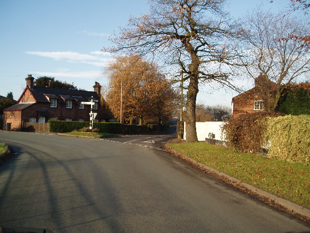
Hardy's Covert, located in Cheshire, is a picturesque wood that offers a serene and peaceful escape for nature enthusiasts and visitors seeking a tranquil environment. This hidden gem is nestled within the vast Cheshire Forest, a charming woodland area known for its scenic beauty and abundant wildlife.
Covering an area of approximately 50 acres, Hardy's Covert boasts a diverse range of tree species, including oak, beech, and birch, which create a lush and vibrant canopy. The wood is also home to a variety of plant life, including bluebells, wild garlic, and ferns, which carpet the forest floor during the spring and summer months.
The forest is a haven for wildlife, providing a habitat for numerous species. Visitors may be lucky enough to spot deer, foxes, squirrels, and a wide array of birdlife, including woodpeckers and owls. The tranquil atmosphere and abundance of natural resources make Hardy's Covert an ideal location for birdwatching and wildlife photography.
There are several footpaths and nature trails that wind through the wood, allowing visitors to explore the area at their leisure. These paths offer breathtaking views of the surrounding countryside and are suitable for both casual strolls and more adventurous hikes. Along the way, visitors can discover secluded clearings and peaceful spots, perfect for a picnic or simply enjoying the tranquility of the forest.
Hardy's Covert is a true gem for nature lovers, providing a peaceful retreat where visitors can immerse themselves in the beauty of the Cheshire Forest. With its diverse flora and fauna, scenic trails, and serene atmosphere, this woodland is a must-visit destination for those seeking solace in nature.
If you have any feedback on the listing, please let us know in the comments section below.
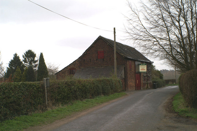
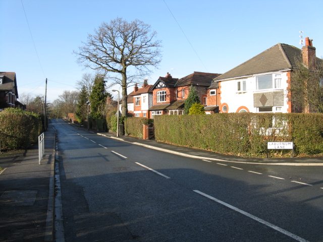
Hardy's Covert Images
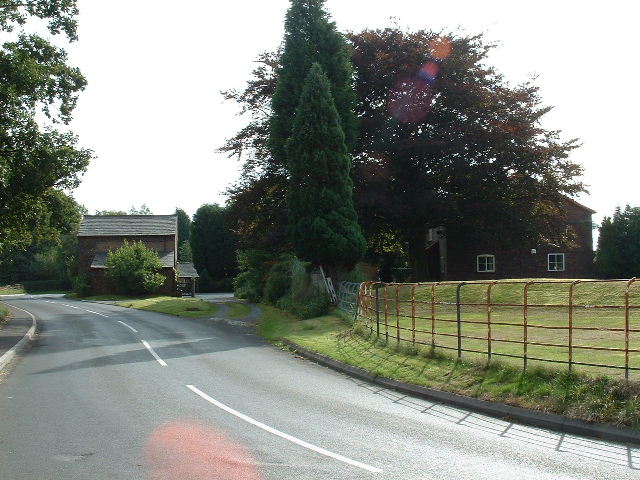
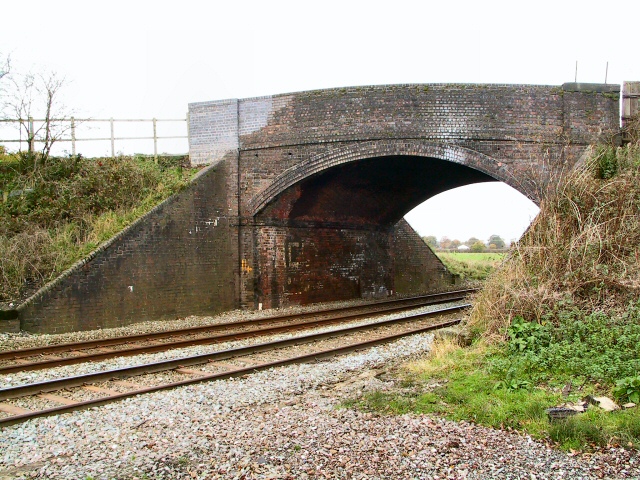
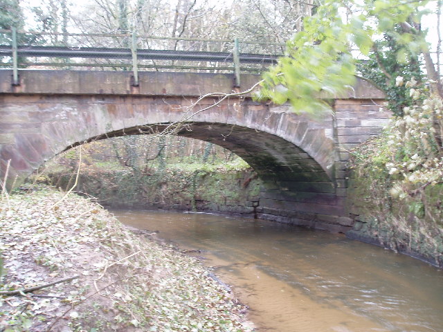
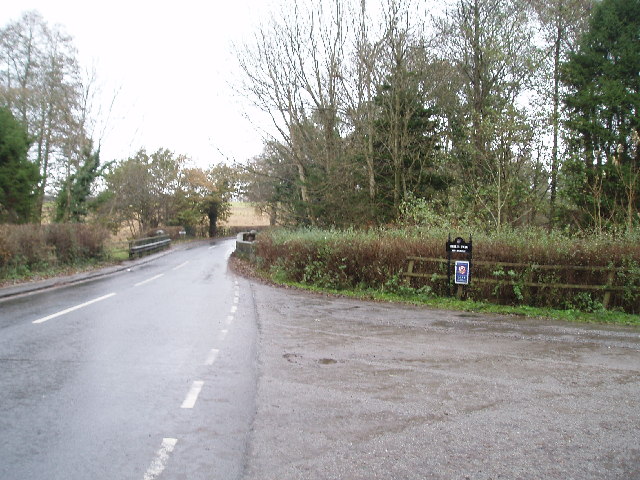
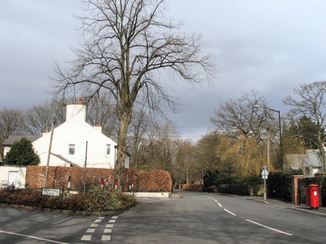
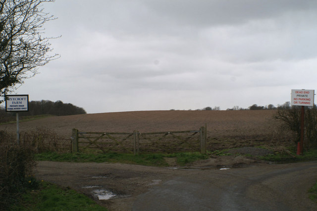
Images are sourced within 2km of 53.357648/-2.3438498 or Grid Reference SJ7784. Thanks to Geograph Open Source API. All images are credited.


Hardy's Covert is located at Grid Ref: SJ7784 (Lat: 53.357648, Lng: -2.3438498)
Unitary Authority: Cheshire East
Police Authority: Cheshire
What 3 Words
///create.mixed.pink. Near Ashley, Cheshire
Nearby Locations
Related Wikis
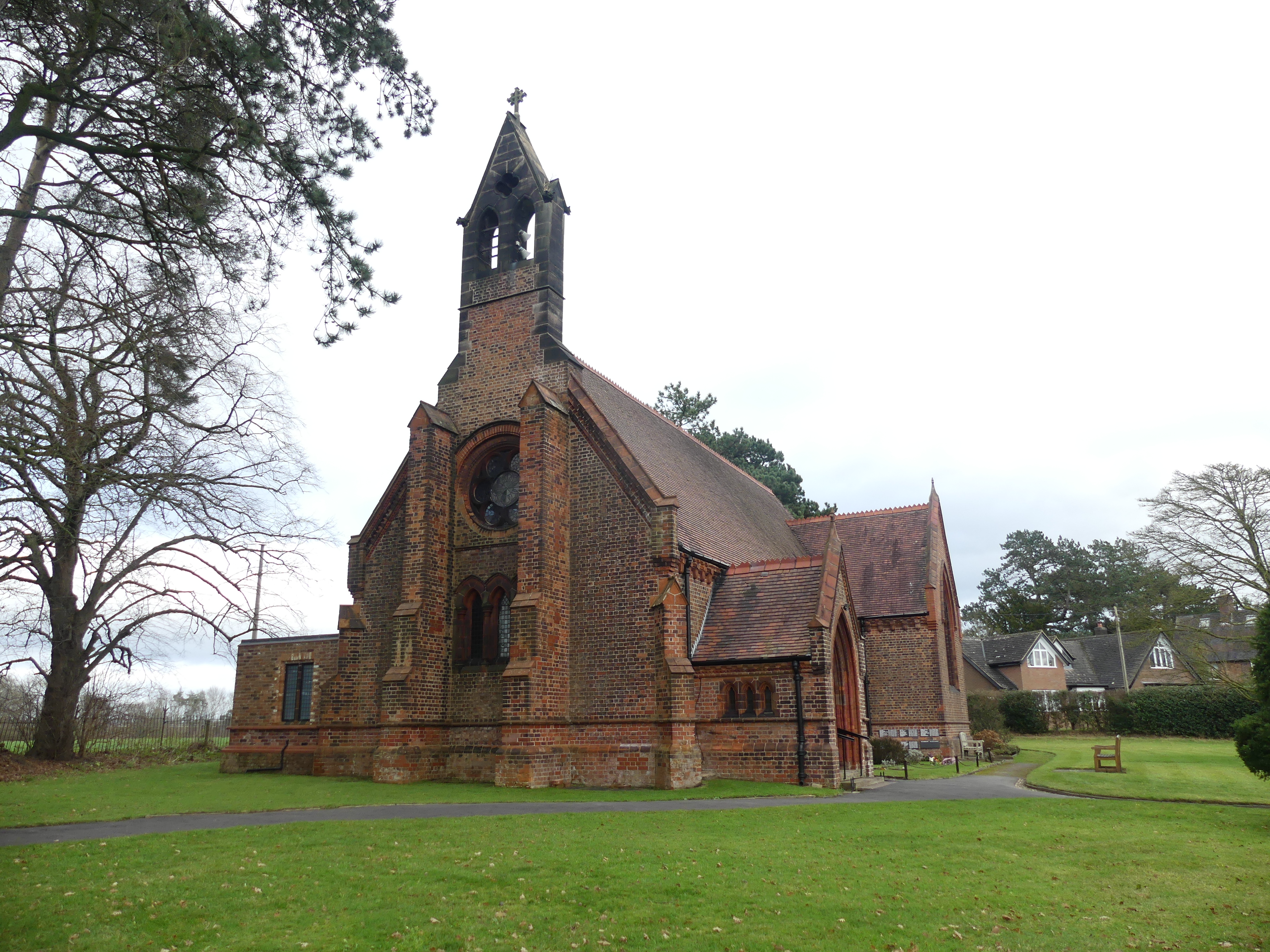
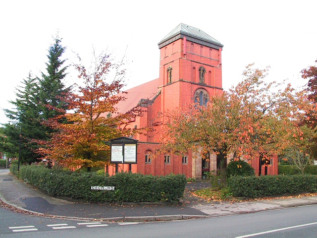
St Elizabeth's Church, Ashley
St Elizabeth's Church is on Ashley Road in the village of Ashley, Cheshire, England. It is an active Anglican parish church in the deanery of Bowdon,...

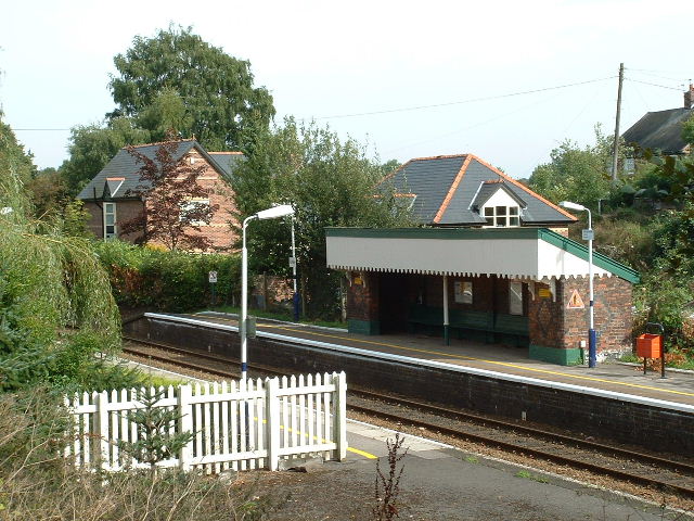
Ashley railway station
Ashley railway station is in the village of Ashley in Cheshire, England. It is located on the Mid-Cheshire line 17+3⁄4 miles (28.6 km) southwest of Manchester...
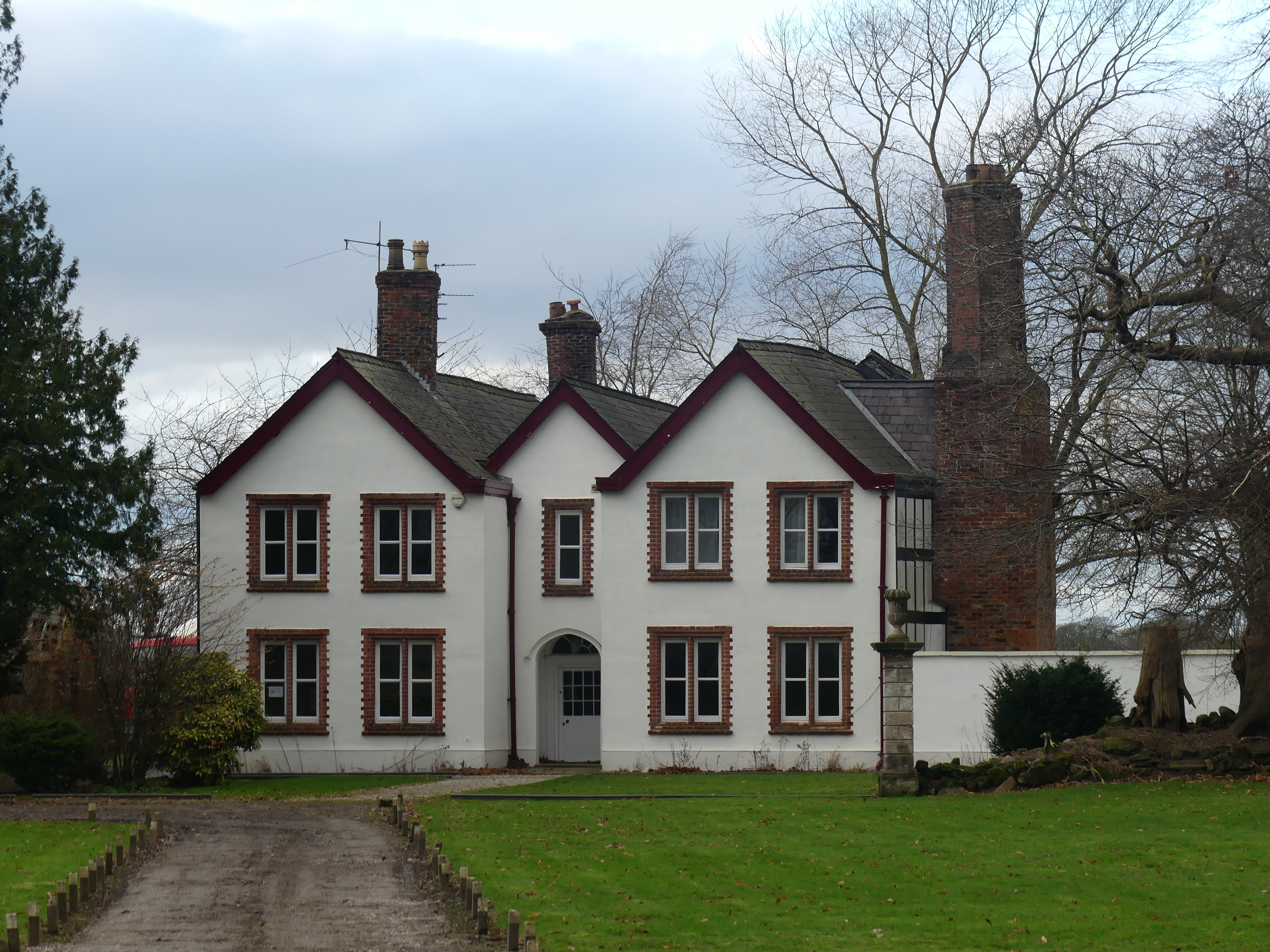
Ashley Hall, Cheshire
Ashley Hall is a country house standing to the north of the village of Ashley, Cheshire, England. It dates from the late 16th to the early 17th century...
Ashley, Cheshire
Ashley is a village and civil parish in Cheshire, England. At the 2001 census, it had a population of 261. The village is close to the border with Greater...
Related Videos

Travel Sigiriya And Water Garden #sigiriya#lionsrock #Watergaradensigiriya#sigiriya #safari srilanka
Travel Sigiriya And Water Garden #sigiriya#lionsrock #Watergaradensigiriya#sigiriya #safari srilanka srilanka Travel Guide ...

Davies Dairy Milkshake Vending Machine! #travel #DaviesDairy #Milkshake #VendingMachine
Milk shake vending machine in Cheshire.

History Walks - War in the Woods .......
Archaeologist and Presenter James Balme loves nothing more than to investigate the landscape that surrounds him. Join James ...
Nearby Amenities
Located within 500m of 53.357648,-2.3438498Have you been to Hardy's Covert?
Leave your review of Hardy's Covert below (or comments, questions and feedback).