Ashchurch Rural

Civil Parish in Gloucestershire Tewkesbury

England

Ashchurch Rural

Field of beans near Oxenton
Field of beans near Oxenton Credit: JThomas

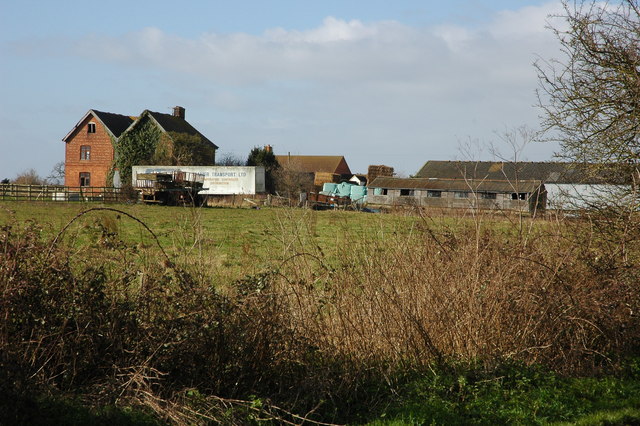
Ashchurch Rural is a civil parish located in the county of Gloucestershire, England. Situated just 3 miles east of Tewkesbury, the parish covers an area of approximately 1,500 acres and is bordered by the River Avon to the west. The parish consists of a mix of agricultural land, residential areas, and small pockets of woodland.

The village of Ashchurch is the main settlement within the parish. It is a small, picturesque village with a population of around 1,500 people. The village is known for its historic charm, with several listed buildings, including the Grade I listed St. Nicholas Church, which dates back to the 12th century.

Ashchurch is well-connected by transport links, with the Ashchurch for Tewkesbury railway station serving the village. The railway station provides regular services to major cities such as Birmingham, Bristol, and Cardiff, making it a convenient location for commuters.

In addition to its residential and historic attractions, Ashchurch Rural is also home to a number of businesses, including agricultural enterprises and small-scale industries. The surrounding countryside offers opportunities for outdoor activities such as walking, cycling, and horse riding, with several footpaths and bridleways crisscrossing the parish.

Overall, Ashchurch Rural is a charming and thriving civil parish, offering a mix of rural tranquility, historical significance, and modern amenities.

If you have any feedback on the listing, please let us know in the comments section below.

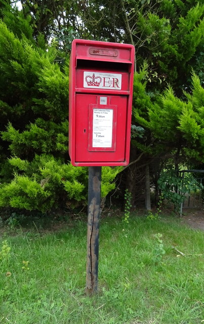
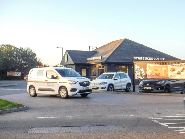
Ashchurch Rural Images

Images are sourced within 2km of 51.991182/-2.102452 or Grid Reference SO9332. Thanks to Geograph Open Source API. All images are credited.

Field of beans near Oxenton
Footpath towards the B4079 Little used path - looking south.
Footpath towards the B4079
Little used path - looking south.
Field margin near Pamington Off the B4079.
Field margin near Pamington
Off the B4079.
Crop field off the B4079 near Pamington
Sharp bend in the B4079 towards Pamington
Grazing, Pamington Off the B4079.
Grazing, Pamington
Off the B4079.
Concrete farm track off the B4079, Pamington
B4079, Pamington Towards Aston Cross.
B4079, Pamington
Towards Aston Cross.
Ashchurch MOD Depot
Ashchurch MOD Depot
A46 towards Ashchurch
KX100 telephone box on the A46, Aston Cross Unloved but still working.
KX100 telephone box on the A46, Aston Cross
Unloved but still working.
Elizabeth II postbox on the A46, Aston Cross Postbox No. GL20 10.
Elizabeth II postbox on the A46, Aston Cross
Postbox No. GL20 10.
Northway : The A46 The A46 at a road junction with Northway Lane.
Northway : The A46
The A46 at a road junction with Northway Lane.
Ashchurch : Pamington Lane Looking along Pamington Lane.
Ashchurch : Pamington Lane
Looking along Pamington Lane.
Northway : Starbucks Coffee A cafe off Ashchurch Road.
Northway : Starbucks Coffee
A cafe off Ashchurch Road.
Steward Road Road and bus stop in Ashchurch.
Steward Road
Road and bus stop in Ashchurch.
St Nicholas church, Ashchurch St Nicholas church, Ashchurch dates from the 12th century and is Grade II* listed, see: <span class="nowrap"><a title="https://historicengland.org.uk/listing/the-list/list-entry/1153103?section=official-list-entry" rel="nofollow ugc noopener" href="https://historicengland.org.uk/listing/the-list/list-entry/1153103?section=official-list-entry">Link</a><img style="margin-left:2px;" alt="External link" title="External link - shift click to open in new window" src="https://s1.geograph.org.uk/img/external.png" width="10" height="10"/></span>
St Nicholas church, Ashchurch
St Nicholas church, Ashchurch dates from the 12th century and is Grade II* listed, see: LinkExternal link
Rood screen, Ashchurch Church The Rood screen in St Nicholas church, dates from the 15th century.
Rood screen, Ashchurch Church
The Rood screen in St Nicholas church, dates from the 15th century.
Show me another place!

Ashchurch Rural is located at Grid Ref: SO9332 (Lat: 51.991182, Lng: -2.102452)

Administrative County: Gloucestershire

District: Tewkesbury

Police Authority: Gloucestershire

What 3 Words

///dairies.craftsman.joys. Near Tewkesbury, Gloucestershire

Nearby Locations

Ashchurch Rural

Related Wikis

Ashchurch

Ashchurch is a village and former civil parish, now in the parish of Ashchurch Rural, in the Tewkesbury district, in the county of Gloucestershire, England...

Ashchurch for Tewkesbury railway station

Ashchurch for Tewkesbury is a railway station serving the medieval market town of Tewkesbury and the village of Ashchurch in Gloucestershire, England....

Northway, Gloucestershire

Northway is a village and civil parish in Gloucestershire, England, 2 miles north-east of Tewkesbury, and is in effect a suburb of that town. The parish...

Tewkesbury Rural District

Tewkesbury Rural District was from 1894 to 1935 a rural district in the southwestern part of the Midlands in England. It had the unusual feature of including...

Alderman Knight School

Alderman Knight School is a mixed special school located in Tewkesbury in the English county of Gloucestershire.The school is named after Cameron Knight...

Tewkesbury School

Tewkesbury Academy (previously Tewkesbury School) is a secondary school in the English town of Tewkesbury in Gloucestershire. It has been an academy since...

Walton Cardiff

Walton Cardiff is a village and former civil parish, now in the parish of Ashchurch Rural, in the Tewkesbury district, in Gloucestershire, England, 1 mile...

Oxenton

Oxenton is a village and civil parish 11 miles (18 km) north east of Gloucester, in the Tewkesbury district, in the county of Gloucestershire, England...

Nearby Amenities

Located within 500m of 51.991182,-2.102452
Railway: level_crossing
Lat/Long: 51.9897111/-2.1087648
Railway: level_crossing
Lat/Long: 51.9897106/-2.1087164
Barrier: cattle_grid
Lat/Long: 51.9878788/-2.1071982
Barrier: stile
Lat/Long: 51.9897703/-2.1080741
Fixme: continue
Lat/Long: 51.9899114/-2.1079992
Power: pole
Lat/Long: 51.9928341/-2.1091215
Power: pole
Lat/Long: 51.9920157/-2.1091215
Power: pole
Lat/Long: 51.9912106/-2.1091121
Power: pole
Lat/Long: 51.9903913/-2.1091175
Homedown Achievement Park
Power: pole
Transformer: distribution
Voltage Primary: 11000
Lat/Long: 51.9895894/-2.1090893
Smow Farm
Power: pole
Transformer: distribution
Voltage Primary: 11000
Lat/Long: 51.9952099/-2.1007034
Power: pole
Lat/Long: 51.9956558/-2.1022604
Power: pole
Lat/Long: 51.9955786/-2.1035774
Natton Farm Ashchurch
Power: pole
Transformer: distribution
Voltage Primary: 11000
Lat/Long: 51.992977/-2.1050888
Power: pole
Lat/Long: 51.9934729/-2.1056045
Power: pole
Lat/Long: 51.9939283/-2.1061188
Power: pole
Lat/Long: 51.9945798/-2.1055891
Railway: crossing
Lat/Long: 51.9896828/-2.1087168
Railway: crossing
Lat/Long: 51.9896836/-2.1087653
The data included in this document is from www.openstreetmap.org. The data is made available under ODbL.

Have you been to Ashchurch Rural?

Leave your review of Ashchurch Rural below (or comments, questions and feedback).