Ashbrittle

Civil Parish in Somerset Somerset West and Taunton

England

Ashbrittle

Ashbrittle Yew in the churchyard Said to be over 3000 years old
Ashbrittle Yew in the churchyard Credit: Rob Purvis

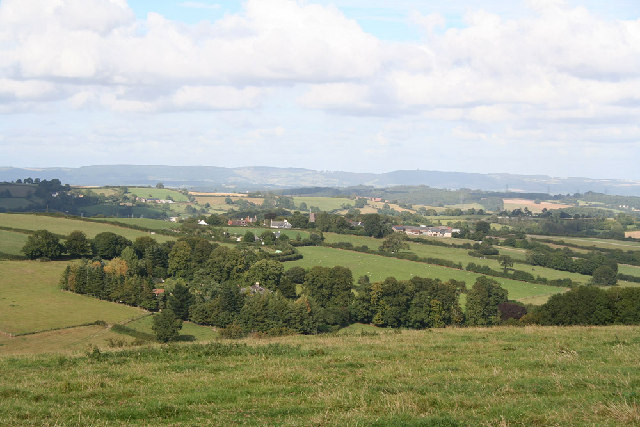
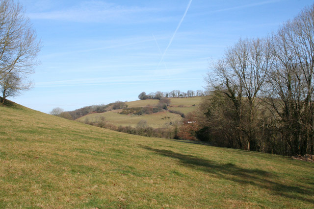
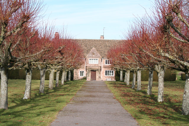
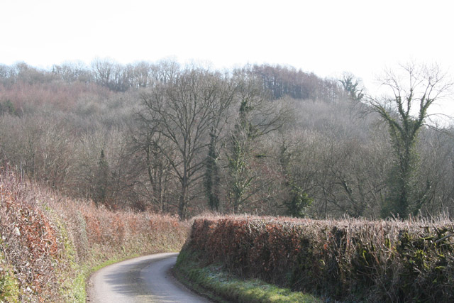
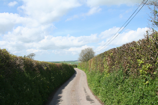
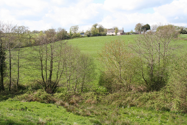
Ashbrittle is a civil parish located in the county of Somerset, England. Situated approximately 5 miles north-east of Wellington, the parish covers an area of about 1,457 acres. It is surrounded by beautiful countryside, with rolling hills and picturesque landscapes.

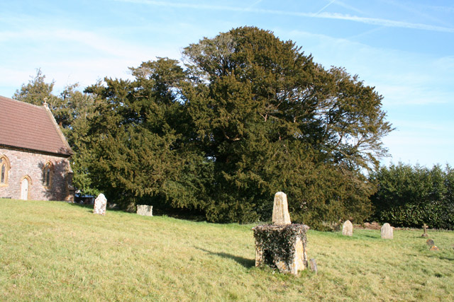
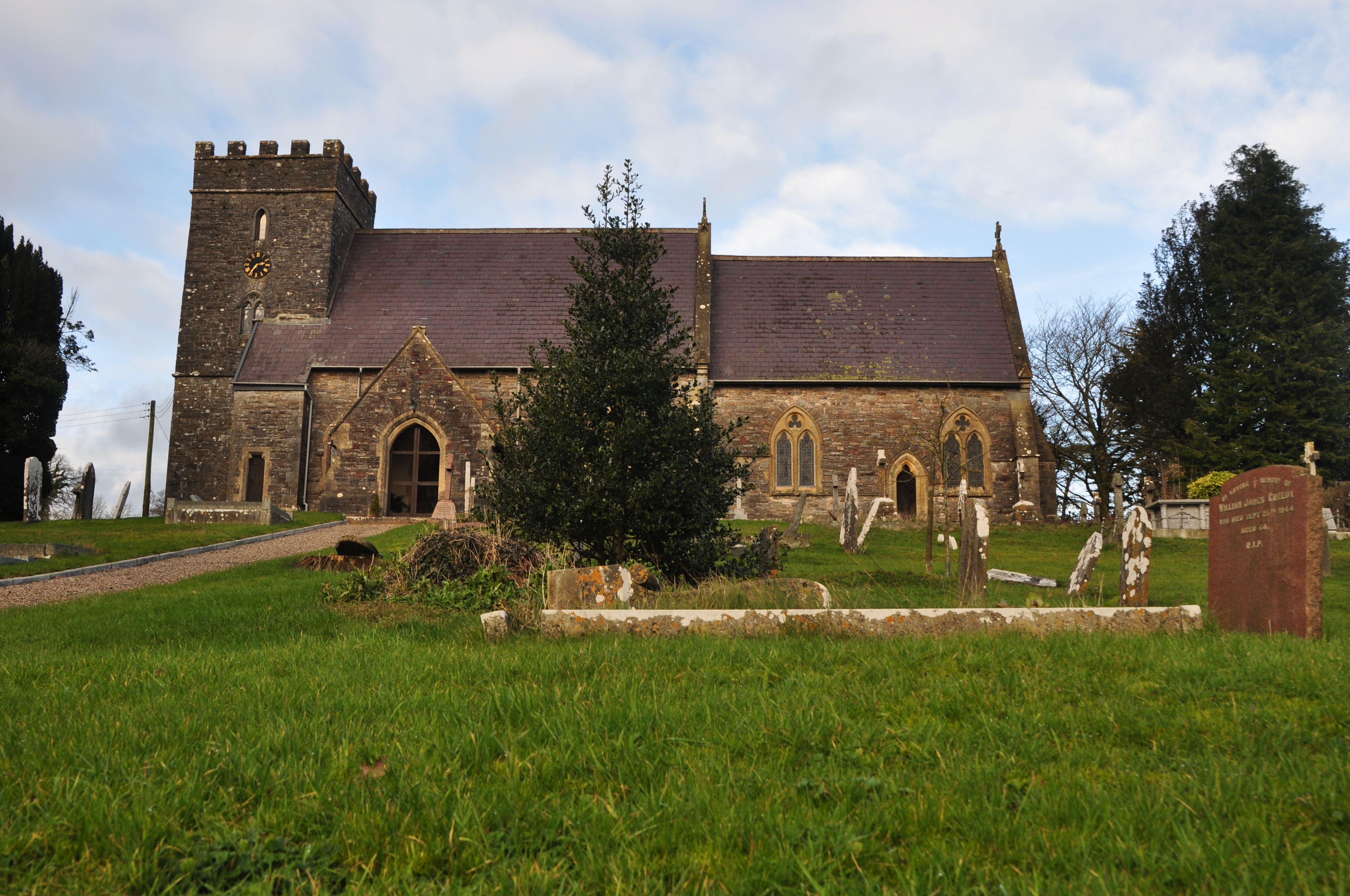
The village of Ashbrittle itself is small and charming, with a population of around 300 residents. It has a rich history, dating back to medieval times. The parish church, St. John the Baptist, is a prominent feature and dates back to the 14th century. It is known for its impressive tower and beautiful stained glass windows.

The local economy of Ashbrittle is primarily based on agriculture, with farms and farmland dominating the surrounding areas. The village has a close-knit community, and there is a strong sense of community spirit among the residents. Ashbrittle also has a village hall, which serves as a venue for various community events and gatherings.

In terms of amenities, Ashbrittle has a primary school that serves the local area. The nearest secondary school is located in Wellington. There are no shops or pubs within the village, but the nearby towns of Wellington and Taunton offer a range of amenities and services.

Overall, Ashbrittle is a peaceful and idyllic village, perfect for those seeking a rural lifestyle. With its rich history, stunning landscapes, and strong sense of community, it is a place that many residents are proud to call home.

If you have any feedback on the listing, please let us know in the comments section below.
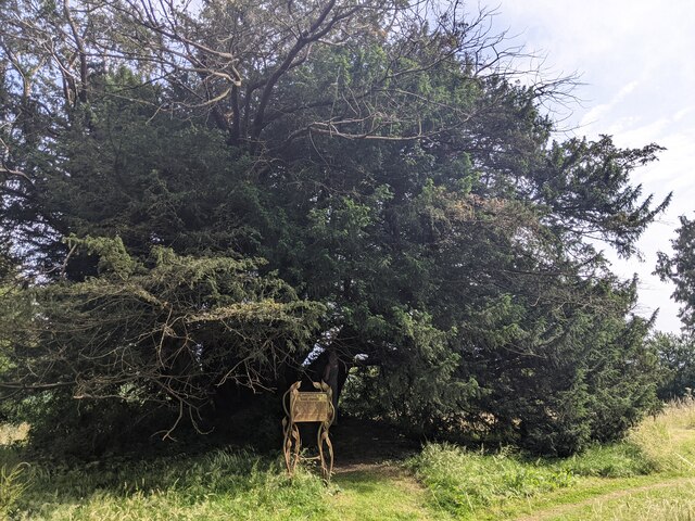
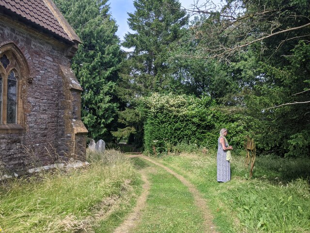
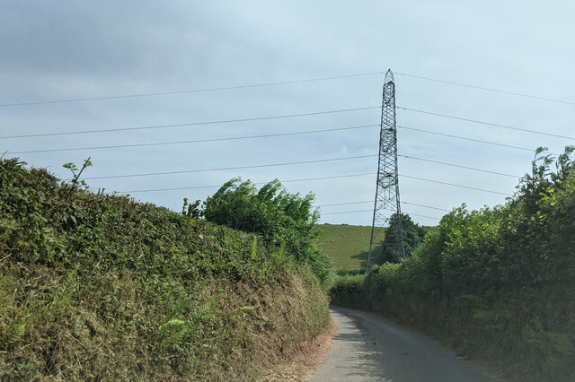
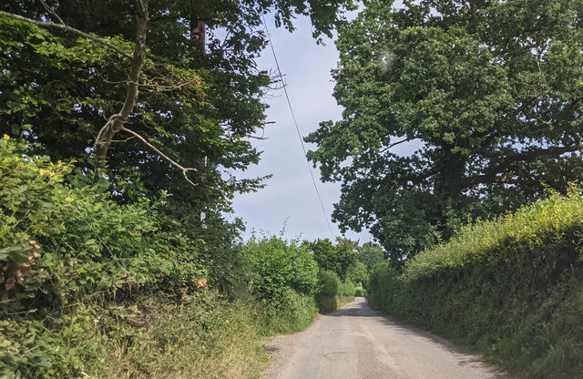
Ashbrittle Images

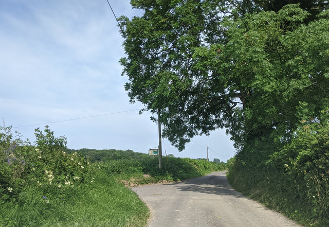
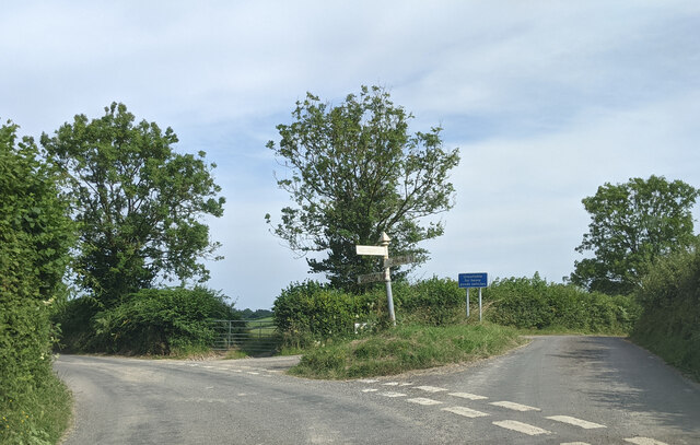
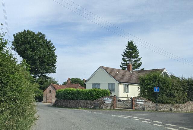
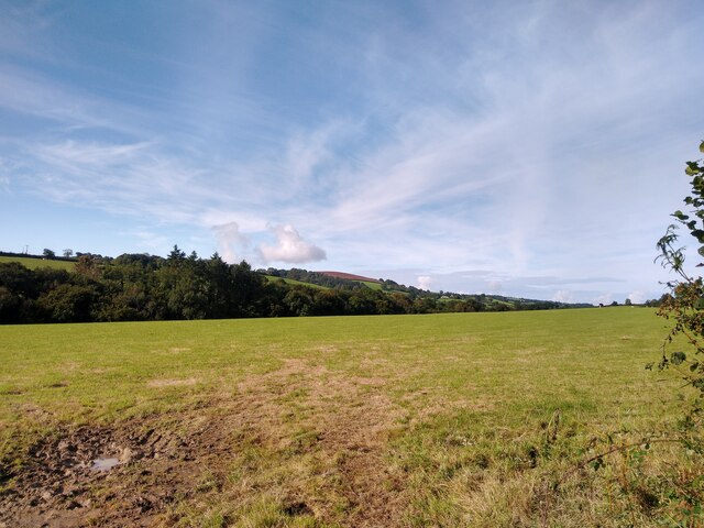
Images are sourced within 2km of 50.993014/-3.363104 or Grid Reference ST0422. Thanks to Geograph Open Source API. All images are credited.

Ashbrittle Yew in the churchyard Said to be over 3000 years old
Ashbrittle Yew in the churchyard
Said to be over 3000 years old
Visiting the Ashbrittle Yew at the church
Power line crossing the lane
Lane heading east from South Hele Cross
Approaching the turning for Westcott Farm, looking east
Junction at Waldron's Cross, looking east
Entering Ashbrittle from the west
View from NCN344 near Stawley Mill Photograph taken looking north west from the NCN344 just north of Stawley Mill.
View from NCN344 near Stawley Mill
Photograph taken looking north west from the NCN344 just north of Stawley Mill.
Hockworthy: north east to Ashbrittle On the border of Devon and Somerset: Ashbrittle church, in Somerset, centre of image. The Quantocks are on the horizon. Viewed from the Lea Barton - Staple Cross lane in Devon
Hockworthy: north east to Ashbrittle
On the border of Devon and Somerset: Ashbrittle church, in Somerset, centre of image. The Quantocks are on the horizon. Viewed from the Lea Barton - Staple Cross lane in Devon
Stawley: near Stawley Mill In the Tone valley. Stawley Mill is now a private house. The bridge in the foreground crosses a small tributary of the Tone. The latter runs to the right of the image, beyond the gate and field
Stawley: near Stawley Mill
In the Tone valley. Stawley Mill is now a private house. The bridge in the foreground crosses a small tributary of the Tone. The latter runs to the right of the image, beyond the gate and field
Stawley: St Michael’s Church Robin Bush, who wrote ‘Somerset, The Complete Guide’ [The Dovecote Press, 1994], regards Stawley church as one of his favourites. It stands somewhat remote above the valley of the river Tone. Looking north
Stawley: St Michael’s Church
Robin Bush, who wrote ‘Somerset, The Complete Guide’ [The Dovecote Press, 1994], regards Stawley church as one of his favourites. It stands somewhat remote above the valley of the river Tone. Looking north
Ashbrittle: in the Tone valley On the West Deane Way, below Hagley Wood and looking north towards
Hagley Bridge. The West Deane Way is a 45-mile circular walk – details from Somerset County Council.
Ashbrittle: in the Tone valley
On the West Deane Way, below Hagley Wood and looking north towards Hagley Bridge. The West Deane Way is a 45-mile circular walk – details from Somerset County Council.
Ashbrittle: Pockeridge Bottom Seen from the lane between Combe and Norman’s Farm. Looking east
Ashbrittle: Pockeridge Bottom
Seen from the lane between Combe and Norman’s Farm. Looking east
Ashbrittle: Waldron’s Farm The formal entrance, looking north
Ashbrittle: Waldron’s Farm
The formal entrance, looking north
Ashbrittle: towards the Tone valley Looking east on the lane from Waldron’s Cross, on a bright February day
Ashbrittle: towards the Tone valley
Looking east on the lane from Waldron’s Cross, on a bright February day
Ashbrittle: the Ashbrittle Yew Reputed to be 3000 years old, this tree was standing when Stonehenge was in use. Clearly it predates the adjoining church by millennia and it may mark a holy place or commemorate a battle site. Whatever its origins, it is thought to be one of the oldest living things in Britain. Looking east
Ashbrittle: the Ashbrittle Yew
Reputed to be 3000 years old, this tree was standing when Stonehenge was in use. Clearly it predates the adjoining church by millennia and it may mark a holy place or commemorate a battle site. Whatever its origins, it is thought to be one of the oldest living things in Britain. Looking east
Hockworthy: near Thorne Cross Way Looking north on a lane that defines the Somerset – Devon border, with Somerset on the right bank
Hockworthy: near Thorne Cross Way
Looking north on a lane that defines the Somerset – Devon border, with Somerset on the right bank
Clayhanger: view from Sticklepath Looking north-north-west towards South Hele Farm
Clayhanger: view from Sticklepath
Looking north-north-west towards South Hele Farm
Show me another place!

Ashbrittle is located at Grid Ref: ST0422 (Lat: 50.993014, Lng: -3.363104)

Administrative County: Somerset

District: Somerset West and Taunton

Police Authority: Avon and Somerset

What 3 Words

///figs.flasks.resorting. Near Wiveliscombe, Somerset

Nearby Locations

Ashbrittle Shalwoods

Related Wikis

Ashbrittle

Ashbrittle is a village and civil parish in Somerset, England, situated nine miles west of Taunton and close to the River Tone and the route of the Grand...

Church of St John the Baptist, Ashbrittle

The Church of St John the Baptist is a Church of England parish church in Ashbrittle, Somerset. It was built in the 15th century, and is a Grade II* listed...

Hill Farm, Stawley

Hill Farm in Stawley, Somerset, England was built in the late 16th century. It is a Grade II* listed building. == History == The farmhouse was built in...

Stawley

Stawley is a village and civil parish in Somerset, England, situated 10 miles (16.1 km) west of Taunton. The parish has a population of 279 and includes...

Clayhanger, Devon

Clayhanger is a hamlet and civil parish in the Mid Devon district of Devon, England. At the time of the 2011 census it had a population of 127. == Roman... ==

Castles Camp

Castles Camp is a univallate Iron Age hill fort in the Taunton Deane district of Somerset, England. The hill fort is situated approximately 1 mile (1.6...

Hockworthy

Hockworthy is a village and civil parish in Devon, England. Its name is Old English and means "Hocca's enclosure". It has a church dedicated to St. Simon...

Kittisford

Kittisford is a village and former civil parish and manor, now in the parish of Stawley in the Somerset district, in the ceremonial county of Somerset...

Nearby Amenities

Located within 500m of 50.993014,-3.363104
The data included in this document is from www.openstreetmap.org. The data is made available under ODbL.

Have you been to Ashbrittle?

Leave your review of Ashbrittle below (or comments, questions and feedback).