Ashbourne

Civil Parish in Derbyshire Derbyshire Dales

England

Ashbourne

Sturston Goal The goal at one end of the Ashbourne Shrovetide Football game.
Sturston Goal Credit: Peter Barr

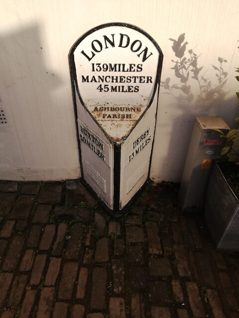
Ashbourne is a civil parish located in the Derbyshire Dales district of Derbyshire, England. It is situated on the southern edge of the Peak District National Park, approximately 13 miles northwest of Derby. The town has a population of around 8,200 people and covers an area of approximately 2.7 square miles.

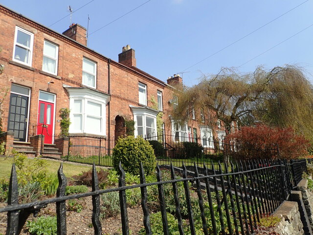
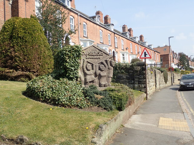
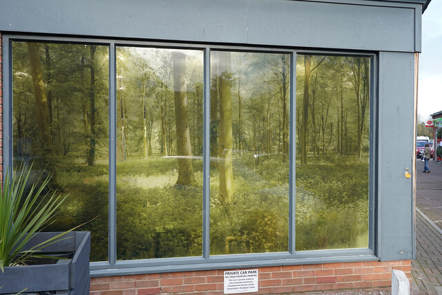
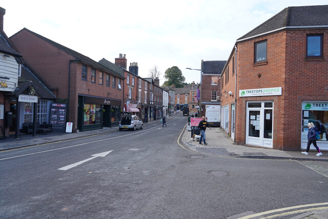
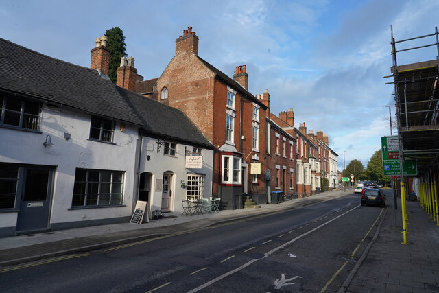
Ashbourne is known for its picturesque beauty, with its charming streets lined with historic buildings and traditional shops. The town is famous for its annual Shrovetide Football match, a unique event that has been taking place for over 300 years. The game sees thousands of people gather to play a boisterous and energetic game of football through the streets, attracting spectators from all over the country.

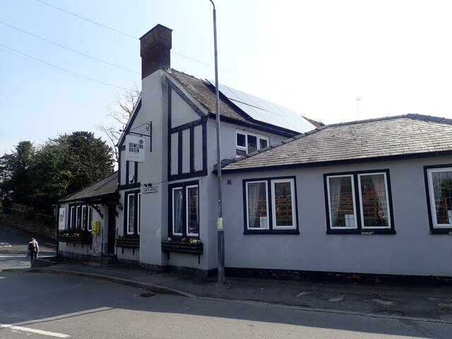
The town offers a range of amenities and services, including a variety of shops, cafes, restaurants, and pubs. There is also a weekly market held in the town center, providing a diverse selection of local produce and goods. The surrounding countryside offers numerous opportunities for outdoor activities, such as hiking, cycling, and exploring the nearby Peak District.

Ashbourne is well-connected to other towns and cities in the region, with good transport links including regular bus services and a nearby train station. The town has a strong sense of community and a vibrant social scene, with various events and festivals held throughout the year.

In summary, Ashbourne is a picturesque town located in the heart of Derbyshire, offering a range of amenities, beautiful surroundings, and a strong sense of community.

If you have any feedback on the listing, please let us know in the comments section below.
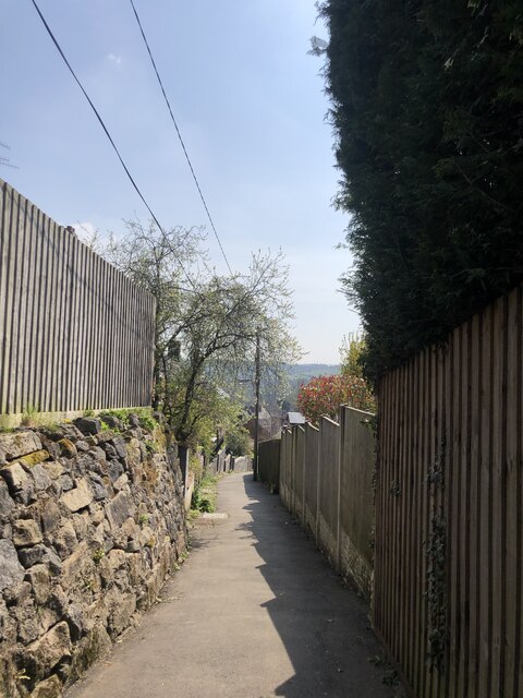
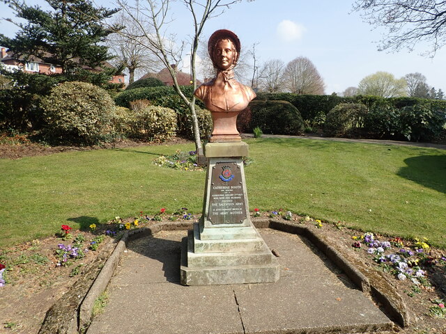
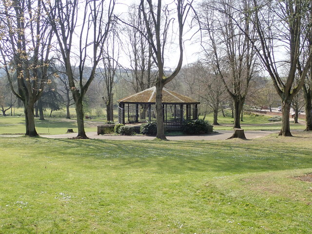
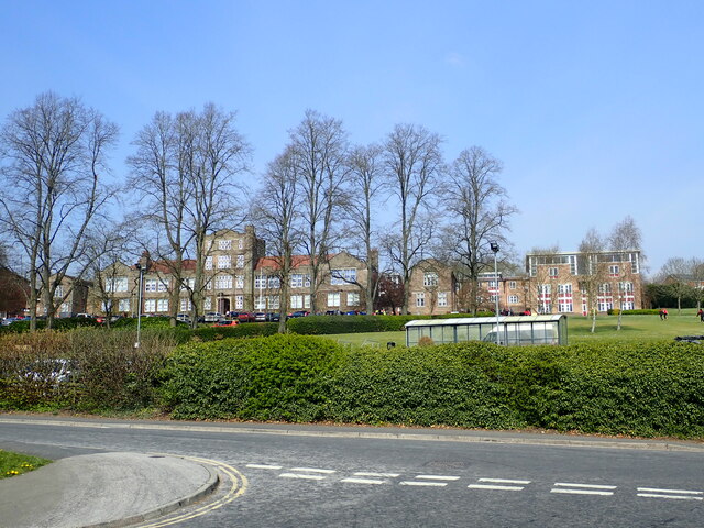
Ashbourne Images

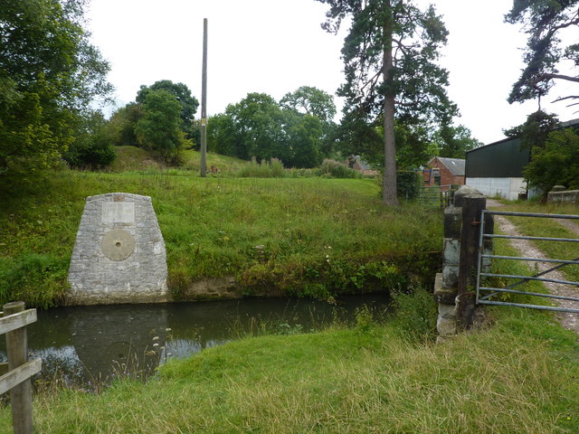
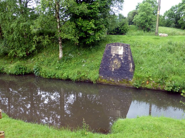
Images are sourced within 2km of 53.012359/-1.726446 or Grid Reference SK1846. Thanks to Geograph Open Source API. All images are credited.

Sturston Goal The goal at one end of the Ashbourne Shrovetide Football game.
Sturston Goal
The goal at one end of the Ashbourne Shrovetide Football game.
Footpath at the entrance to Bradley Wood
Seat & viewpoint at the top of Bradley Wood
The Sturston Goal in Henmore Brook One of the goals for the annual Ashbourne Shrovetide Football match. The other goal is 3 miles to the west <a href="https://www.geograph.org.uk/photo/359653">SK1644 : Royal Shrovetide Football goal posts old and new, Clifton</a>
The Sturston Goal in Henmore Brook
One of the goals for the annual Ashbourne Shrovetide Football match. The other goal is 3 miles to the west SK1644 : Royal Shrovetide Football goal posts old and new, Clifton
The Channel, Ashbourne Side alley off North Avenue
The Channel, Ashbourne
Side alley off North Avenue
Catherine Booth memorial in Ashbourne Park
Bandstand in Ashbourne Memorial Park
Queen Elizabeth's Grammar School, Ashbourne A comprehensive non-selective academy school in Ashbourne. The school has been at its current site on the Green Road since 1909 but prior to that the original "Old School" was in the centre of Ashbourne since its foundation in 1585.
Queen Elizabeth's Grammar School, Ashbourne
A comprehensive non-selective academy school in Ashbourne. The school has been at its current site on the Green Road since 1909 but prior to that the original "Old School" was in the centre of Ashbourne since its foundation in 1585.
Terrace of houses on Green Road, Ashbourne
Sculpture on Green Road At the headquarters of C W Sellors, Jewellers. This is a family-run business with branches in the Midlands and Yorkshire.
Sculpture on Green Road
At the headquarters of C W Sellors, Jewellers. This is a family-run business with branches in the Midlands and Yorkshire.
Ashbourne Baptist Church On Buxton Road, north of the town centre
Ashbourne Baptist Church
On Buxton Road, north of the town centre
The Bowling Green Inn At the junction of North Avenue and Buxton Road
The Bowling Green Inn
At the junction of North Avenue and Buxton Road
Interesting windows The windows are semi-transparent, with sylvan designs, which I assume to be either very lightly painted or plastic film with the design printed. Which ever it is very effective.
Interesting windows
The windows are semi-transparent, with sylvan designs, which I assume to be either very lightly painted or plastic film with the design printed. Which ever it is very effective.
Dig Street Dig Street is now very quiet, comparatively, as the far end has traffic blocked so that it is now a one-way street.
Dig Street
Dig Street is now very quiet, comparatively, as the far end has traffic blocked so that it is now a one-way street.
St. John's Street This short street gets a huge amount of heavy lorry traffic and is rarely so empty.
St. John's Street
This short street gets a huge amount of heavy lorry traffic and is rarely so empty.
Ashbourne Town Council The Town Council building is on the eastern side of Buxton Road. There is a benchmark cut into the right hand pillar at the entrance to the building.
Ashbourne Town Council
The Town Council building is on the eastern side of Buxton Road. There is a benchmark cut into the right hand pillar at the entrance to the building.
Ashbourne Town Council A wider angle showing the entrance to the Town Council building on the eastern side of Buxton Road. There is a benchmark cut into the right hand pillar at the entrance to the building.
Ashbourne Town Council
A wider angle showing the entrance to the Town Council building on the eastern side of Buxton Road. There is a benchmark cut into the right hand pillar at the entrance to the building.
Milestone Victoria Square In the narrow pedestrianised part of the road.
Earlier images see <a href="https://www.geograph.org.uk/photo/336438">SK1846 : Milepost, Ashbourne town centre</a> & <a href="https://www.geograph.org.uk/photo/582336">SK1846 : Milepost, Ashbourne</a>

Inscription: London / 139Miles / Manchester / 45 Miles / Ashbourne /  Parish //
Buxton / 20 miles // Derby / 13 Miles
Maker: J. HAYWOOD JUNR / PHOENIX FOUNDRY / DERBY 

Milestone Society National ID: DE_LMA139
Milestone Victoria Square
In the narrow pedestrianised part of the road. Earlier images see SK1846 : Milepost, Ashbourne town centre & SK1846 : Milepost, Ashbourne Inscription: London / 139Miles / Manchester / 45 Miles / Ashbourne / Parish // Buxton / 20 miles // Derby / 13 Miles Maker: J. HAYWOOD JUNR / PHOENIX FOUNDRY / DERBY Milestone Society National ID: DE_LMA139
Show me another place!

Ashbourne is located at Grid Ref: SK1846 (Lat: 53.012359, Lng: -1.726446)

Administrative County: Derbyshire

District: Derbyshire Dales

Police Authority: Derbyshire

What 3 Words

///consults.retrieves.womb. Near Ashbourne, Derbyshire

Related Wikis

Ashbourne, Derbyshire

Ashbourne is a market town in the Derbyshire Dales district in Derbyshire, England. Its population was measured at 8,377 in the 2011 census and was estimated...

Ashbourne Urban District

Ashbourne was an Urban District in Derbyshire, England from 1894 to 1974. It was created under the Local Government Act 1894. It was enlarged in 1934 when...

Ashbourne Rural District

Ashbourne was a Rural District in Derbyshire, England from 1894 to 1974. It was created under the Local Government Act 1894. It was enlarged in 1934 when...

Ashbourne railway station

Ashbourne railway station formerly served the town of Ashbourne in Derbyshire. There have been two stations in the town. The first, opened in 1852, was...

Green Man, Ashbourne

The Green Man & Black's Head Royal Hotel (sometimes simply the Green Man) is a public house and hotel on St John Street (the A515) in the town centre of...
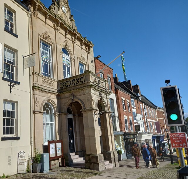
Ashbourne Town Hall

Ashbourne Town Hall is a municipal building in the Market Place, Ashbourne, Derbyshire, England. The town hall, which is the meeting place of Ashbourne...

St Oswald's Church, Ashbourne

St Oswald's Church is a Church of England parish church located in Ashbourne, in the county of Derbyshire, England. == Background == The church is named...

Ashbourne Hall

Ashbourne Hall is a Manor house originally built by the Cockayne family in the 13th century in Ashbourne, Derbyshire. The present building is part of a...

Nearby Amenities

Located within 500m of 53.012359,-1.726446
Traffic Signals
Lat/Long: 53.0142015/-1.7294274
Traffic Signals
Traffic Signals: signal
Lat/Long: 53.0142021/-1.7316483
Kindergarten
Treetops
Addr City: Ashbourne
Addr County: Derbyshire
Addr Housenumber: 13
Addr Postcode: DE6 1BE
Addr Street: Derby Road
Fhrs Id: 1626333
Note: A private nursery
Source Addr: FHRS Open Data
Lat/Long: 53.013722/-1.7310736
Post Box
Brand: Royal Mail
Brand Wikidata: Q638098
Brand Wikipedia: en:Royal Mail
Operator: Royal Mail
Operator Wikidata: Q638098
Ref: DE6 879
Lat/Long: 53.0153686/-1.7245425
Post Box
Brand: Royal Mail
Brand Wikidata: Q638098
Brand Wikipedia: en:Royal Mail
Mapillary: 3180071405652728
Operator: Royal Mail
Operator Wikidata: Q638098
Post Box Type: pillar
Ref: DE6 857
Survey Date: 2021-09-01
Lat/Long: 53.0137495/-1.7242427
Post Box
Brand: Royal Mail
Brand Wikidata: Q638098
Mapillary: 1010996852980462
Operator: Royal Mail
Operator Wikidata: Q638098
Post Box Type: pillar
Ref: DE6 859
Survey Date: 2021-06-24
Lat/Long: 53.0099452/-1.721834
Post Box
Operator: Royal Mail
Operator Wikidata: Q638098
Ref: DE6 887
Lat/Long: 53.0124856/-1.7312626
Post Box
Operator: Royal Mail
Operator Wikidata: Q638098
Ref: DE6 885
Lat/Long: 53.0090607/-1.7253716
Turning Circle
Lat/Long: 53.0104869/-1.7239435
Turning Circle
Lat/Long: 53.0095987/-1.7240991
Mapillary: 188770709876160
Operator: BT
Removed Amenity: telephone
Source: survey
Survey Date: 2021-06-24
Lat/Long: 53.0099931/-1.7219094
Turning Circle
Lat/Long: 53.010527/-1.720788
Compton
Place: village
Lat/Long: 53.0091424/-1.7244254
Grit Bin
Source: survey
Lat/Long: 53.0123308/-1.7251511
Man Made: antenna
Lat/Long: 53.0112621/-1.7303844
Bench
Lat/Long: 53.0127533/-1.7264467
Bench
Lat/Long: 53.0125231/-1.7255195
Parking
Access: unknown
Source: View from north
Lat/Long: 53.0136818/-1.7250018
Bench
Lat/Long: 53.0134215/-1.7201247
Mapillary: 3180071405652728
Removed Amenity: telephone
Survey Date: 2021-09-01
Lat/Long: 53.0137511/-1.7242722
Bench
Lat/Long: 53.0137511/-1.7242964
Barrier: cycle_barrier
Lat/Long: 53.0141953/-1.722111
Bicycle Parking
Bicycle Parking: stands
Capacity: 8
Covered: no
Lat/Long: 53.0149372/-1.7325549
Generator Method: photovoltaic
Generator Output Electricity: yes
Generator Source: solar
Generator Type: solar_photovoltaic_panel
Location: roof
Power: generator
Lat/Long: 53.010219/-1.7199148
Generator Method: photovoltaic
Generator Output Electricity: yes
Generator Source: solar
Generator Type: solar_photovoltaic_panel
Location: roof
Power: generator
Lat/Long: 53.0101997/-1.7201052
Generator Method: photovoltaic
Generator Output Electricity: yes
Generator Source: solar
Generator Type: solar_photovoltaic_panel
Location: roof
Power: generator
Lat/Long: 53.0104772/-1.7204808
Generator Method: photovoltaic
Generator Output Electricity: yes
Generator Source: solar
Generator Type: solar_photovoltaic_panel
Location: roof
Power: generator
Lat/Long: 53.0113471/-1.7237557
Generator Method: photovoltaic
Generator Output Electricity: yes
Generator Source: solar
Generator Type: solar_photovoltaic_panel
Location: roof
Power: generator
Lat/Long: 53.0102884/-1.7207302
Generator Method: photovoltaic
Generator Output Electricity: yes
Generator Source: solar
Generator Type: solar_photovoltaic_panel
Location: roof
Power: generator
Lat/Long: 53.0104821/-1.720301
Generator Method: photovoltaic
Generator Output Electricity: yes
Generator Source: solar
Generator Type: solar_photovoltaic_panel
Location: roof
Power: generator
Lat/Long: 53.0098694/-1.7259276
Generator Method: photovoltaic
Generator Output Electricity: yes
Generator Source: solar
Generator Type: solar_photovoltaic_panel
Location: roof
Power: generator
Lat/Long: 53.0109006/-1.7249245
Defibrillator
Access: yes
Check Date: 2023-03-10
Defibrillator Location: On outside wall. Available 24/7.
Emergency: defibrillator
Indoor: no
Lat/Long: 53.0154312/-1.7317809
David Neill
Shop: hardware
Lat/Long: 53.0154619/-1.7317183
Turning Circle
Lat/Long: 53.0107119/-1.7297298
Generator Method: photovoltaic
Generator Output Electricity: yes
Generator Source: solar
Generator Type: solar_photovoltaic_panel
Location: roof
Power: generator
Lat/Long: 53.0150066/-1.7265845
Direction: SSE
Generator Method: photovoltaic
Generator Output Electricity: yes
Generator Solar Modules: 17
Generator Source: solar
Generator Type: solar_photovoltaic_panel
Location: roof
Power: generator
Lat/Long: 53.0151276/-1.7263203
Generator Method: photovoltaic
Generator Output Electricity: yes
Generator Source: solar
Generator Type: solar_photovoltaic_panel
Location: roof
Power: generator
Lat/Long: 53.0149074/-1.7262224
Generator Method: photovoltaic
Generator Output Electricity: yes
Generator Source: solar
Generator Type: solar_photovoltaic_panel
Location: roof
Power: generator
Lat/Long: 53.0152138/-1.7303115
Generator Method: photovoltaic
Generator Output Electricity: yes
Generator Source: solar
Generator Type: solar_photovoltaic_panel
Location: roof
Power: generator
Lat/Long: 53.014144/-1.7239412
Generator Method: photovoltaic
Generator Output Electricity: yes
Generator Source: solar
Generator Type: solar_photovoltaic_panel
Location: roof
Power: generator
Lat/Long: 53.0141262/-1.723622
Generator Method: photovoltaic
Generator Output Electricity: yes
Generator Source: solar
Generator Type: solar_photovoltaic_panel
Location: roof
Power: generator
Lat/Long: 53.0141924/-1.725175
Direction: SW
Generator Method: photovoltaic
Generator Output Electricity: yes
Generator Solar Modules: 14
Generator Source: solar
Generator Type: solar_photovoltaic_panel
Location: roof
Power: generator
Lat/Long: 53.0135713/-1.720447
Generator Method: photovoltaic
Generator Output Electricity: yes
Generator Source: solar
Generator Type: solar_photovoltaic_panel
Location: roof
Power: generator
Lat/Long: 53.0130644/-1.7230561
Generator Method: photovoltaic
Generator Output Electricity: yes
Generator Source: solar
Generator Type: solar_photovoltaic_panel
Location: roof
Power: generator
Lat/Long: 53.0146345/-1.7206609
Generator Method: photovoltaic
Generator Output Electricity: yes
Generator Source: solar
Generator Type: solar_photovoltaic_panel
Location: roof
Power: generator
Lat/Long: 53.0146345/-1.7205536
Generator Method: photovoltaic
Generator Output Electricity: yes
Generator Source: solar
Generator Type: solar_photovoltaic_panel
Location: roof
Power: generator
Lat/Long: 53.0146345/-1.7204168
Generator Method: photovoltaic
Generator Output Electricity: yes
Generator Source: solar
Generator Type: solar_photovoltaic_panel
Location: roof
Power: generator
Lat/Long: 53.0149855/-1.7256551
Generator Method: photovoltaic
Generator Output Electricity: yes
Generator Source: solar
Generator Type: solar_photovoltaic_panel
Location: roof
Power: generator
Lat/Long: 53.0150049/-1.7257329
Generator Method: photovoltaic
Generator Output Electricity: yes
Generator Source: solar
Generator Type: solar_photovoltaic_panel
Location: roof
Power: generator
Lat/Long: 53.0132395/-1.728045
Generator Method: photovoltaic
Generator Output Electricity: yes
Generator Source: solar
Generator Type: solar_photovoltaic_panel
Location: roof
Power: generator
Lat/Long: 53.0109835/-1.723209
Generator Method: photovoltaic
Generator Output Electricity: yes
Generator Source: solar
Generator Type: solar_photovoltaic_panel
Location: roof
Power: generator
Lat/Long: 53.0091712/-1.7232197
Generator Method: photovoltaic
Generator Output Electricity: yes
Generator Source: solar
Generator Type: solar_photovoltaic_panel
Location: roof
Power: generator
Lat/Long: 53.0096505/-1.7261433
Generator Method: photovoltaic
Generator Output Electricity: yes
Generator Source: solar
Generator Type: solar_photovoltaic_panel
Location: roof
Power: generator
Lat/Long: 53.0103283/-1.7242014
Generator Method: photovoltaic
Generator Output Electricity: yes
Generator Source: solar
Generator Type: solar_photovoltaic_panel
Location: roof
Power: generator
Lat/Long: 53.0120415/-1.7259287
Generator Method: photovoltaic
Generator Output Electricity: yes
Generator Source: solar
Generator Type: solar_photovoltaic_panel
Location: roof
Power: generator
Lat/Long: 53.0116751/-1.7265591
Direction: SW
Generator Method: photovoltaic
Generator Output Electricity: yes
Generator Source: solar
Generator Type: solar_photovoltaic_panel
Location: roof
Power: generator
Lat/Long: 53.0085645/-1.722678
Direction: 170
Generator Method: photovoltaic
Generator Output Electricity: yes
Generator Solar Modules: 11
Generator Source: solar
Generator Type: solar_photovoltaic_panel
Location: roof
Power: generator
Lat/Long: 53.0084149/-1.729877
Generator Method: photovoltaic
Generator Output Electricity: yes
Generator Source: solar
Generator Type: solar_photovoltaic_panel
Location: roof
Power: generator
Lat/Long: 53.0154753/-1.7219719
Generator Method: photovoltaic
Generator Output Electricity: yes
Generator Source: solar
Generator Type: solar_photovoltaic_panel
Location: roof
Power: generator
Lat/Long: 53.015502/-1.7220953
Generator Method: photovoltaic
Generator Output Electricity: yes
Generator Source: solar
Generator Type: solar_photovoltaic_panel
Location: roof
Power: generator
Lat/Long: 53.0157642/-1.7215616
Generator Method: photovoltaic
Generator Output Electricity: yes
Generator Source: solar
Generator Type: solar_photovoltaic_panel
Location: roof
Power: generator
Lat/Long: 53.0143595/-1.7213751
Generator Method: photovoltaic
Generator Output Electricity: yes
Generator Source: solar
Generator Type: solar_photovoltaic_panel
Location: roof
Power: generator
Lat/Long: 53.0128943/-1.7223354
Generator Method: photovoltaic
Generator Output Electricity: yes
Generator Source: solar
Generator Type: solar_photovoltaic_panel
Location: roof
Power: generator
Lat/Long: 53.0142748/-1.7261468
Generator Method: photovoltaic
Generator Output Electricity: yes
Generator Source: solar
Generator Type: solar_photovoltaic_panel
Location: roof
Power: generator
Lat/Long: 53.0144059/-1.7229136
Generator Method: photovoltaic
Generator Output Electricity: yes
Generator Source: solar
Generator Type: solar_photovoltaic_panel
Location: roof
Power: generator
Lat/Long: 53.0148283/-1.7230233
Generator Method: photovoltaic
Generator Output Electricity: yes
Generator Source: solar
Generator Type: solar_photovoltaic_panel
Location: roof
Power: generator
Lat/Long: 53.0148184/-1.7229916
Generator Method: photovoltaic
Generator Output Electricity: yes
Generator Source: solar
Generator Type: solar_photovoltaic_panel
Location: roof
Power: generator
Lat/Long: 53.0149544/-1.7227669
Generator Method: photovoltaic
Generator Output Electricity: yes
Generator Source: solar
Generator Type: solar_photovoltaic_panel
Location: roof
Power: generator
Lat/Long: 53.0148474/-1.7229323
Generator Method: photovoltaic
Generator Output Electricity: yes
Generator Source: solar
Generator Type: solar_photovoltaic_panel
Location: roof
Power: generator
Lat/Long: 53.0149121/-1.7227076
Generator Method: photovoltaic
Generator Output Electricity: yes
Generator Source: solar
Generator Type: solar_photovoltaic_panel
Location: roof
Power: generator
Lat/Long: 53.0149411/-1.7226772
Generator Method: photovoltaic
Generator Output Electricity: yes
Generator Source: solar
Generator Type: solar_photovoltaic_panel
Location: roof
Power: generator
Lat/Long: 53.0151348/-1.72395
Generator Method: photovoltaic
Generator Output Electricity: yes
Generator Source: solar
Generator Type: solar_photovoltaic_panel
Location: roof
Power: generator
Lat/Long: 53.0151034/-1.7240104
Generator Method: photovoltaic
Generator Output Electricity: yes
Generator Source: solar
Generator Type: solar_photovoltaic_panel
Location: roof
Power: generator
Lat/Long: 53.015123/-1.723981
Generator Method: photovoltaic
Generator Output Electricity: yes
Generator Source: solar
Generator Type: solar_photovoltaic_panel
Location: roof
Power: generator
Lat/Long: 53.0146691/-1.7308892
Generator Method: photovoltaic
Generator Output Electricity: yes
Generator Source: solar
Generator Type: solar_photovoltaic_panel
Location: roof
Power: generator
Lat/Long: 53.0151289/-1.7311799
Generator Method: photovoltaic
Generator Output Electricity: yes
Generator Source: solar
Generator Type: solar_photovoltaic_panel
Location: roof
Power: generator
Lat/Long: 53.0151279/-1.7312257
Bus Stop
House No. 21
Bus: yes
Naptan AtcoCode: 1000DADR5746
Naptan NaptanCode: dbsagagt
Public Transport: platform
Lat/Long: 53.0135488/-1.7304681
Bus Stop
Springfield Avenue Top
Bus: yes
Naptan AtcoCode: 100054214
Naptan NaptanCode: dbsjdmwp
Public Transport: platform
Lat/Long: 53.0099178/-1.7222793
Bus Stop
Springfield Avenue Top
Bus: yes
Public Transport: platform
Lat/Long: 53.0098815/-1.7222156
Bus Stop
Springfield Avenue
Bus: yes
Naptan AtcoCode: 1000DSSO5682
Naptan NaptanCode: dbsgwajt
Public Transport: platform
Lat/Long: 53.0091553/-1.7237082
Bus Stop
Springfield Avenue
Bus: yes
Naptan AtcoCode: 1000DSSO5683
Naptan NaptanCode: dbsgwajw
Public Transport: platform
Lat/Long: 53.0089007/-1.7240663
Bus Stop
Weaver Close
Bus: yes
Public Transport: platform
Lat/Long: 53.0092725/-1.7255492
Bus Stop
Weaver Close
Bus: yes
Public Transport: platform
Lat/Long: 53.0094599/-1.7264742
Bus Stop
Old Hill
Bus: yes
Naptan AtcoCode: 100054212
Naptan NaptanCode: dbsjdmwm
Public Transport: platform
Lat/Long: 53.0099917/-1.7284356
Bus Stop
Old Hill
Bus: yes
Public Transport: platform
Lat/Long: 53.0099719/-1.7280963
Bus Stop
Spencer Close
Bus: yes
Naptan AtcoCode: 100000008585
Naptan NaptanCode: dbsgmdmt
Public Transport: platform
Lat/Long: 53.0084339/-1.7285127
Bus Stop
Spencer Close
Bus: yes
Naptan AtcoCode: 1000DSOH5686
Naptan NaptanCode: dbsdjapw
Public Transport: platform
Lat/Long: 53.0085005/-1.7286133
The data included in this document is from www.openstreetmap.org. The data is made available under ODbL.

Have you been to Ashbourne?

Leave your review of Ashbourne below (or comments, questions and feedback).