Asfordby
Civil Parish in Leicestershire Melton
England
Asfordby
Asfordby is a civil parish located in the county of Leicestershire, in the East Midlands region of England. It is situated approximately 4 miles east of Melton Mowbray and 16 miles northeast of Leicester, the county town.
The parish of Asfordby covers an area of around 1,400 acres and is home to a population of approximately 3,000 residents. The area has a rich history, with evidence of human habitation dating back to the Iron Age. The name "Asfordby" is derived from the Old Norse words "Ásgeirr" and "býr," meaning "farmstead by the river."
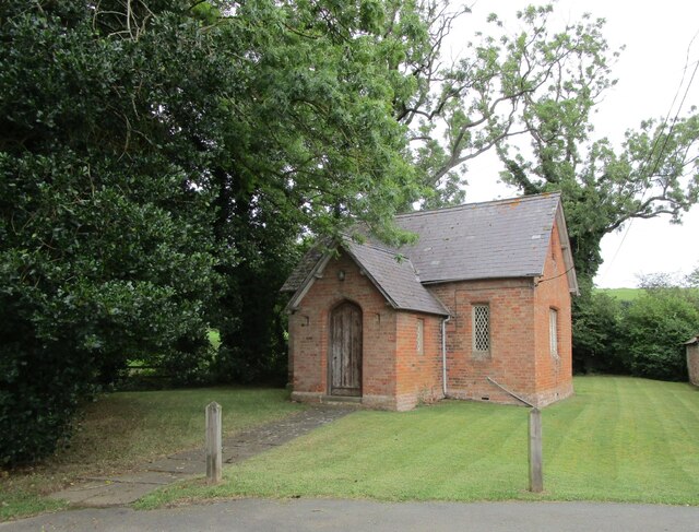
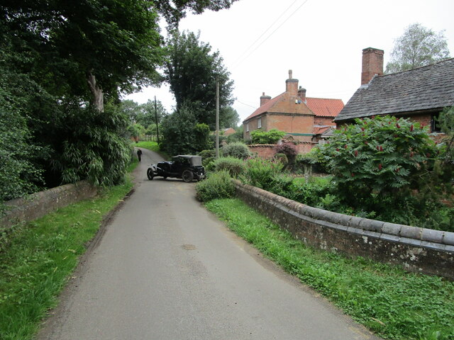
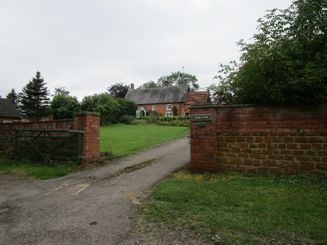
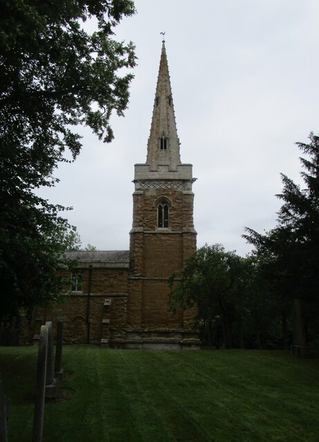
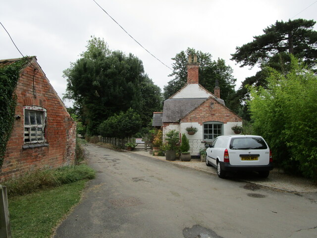
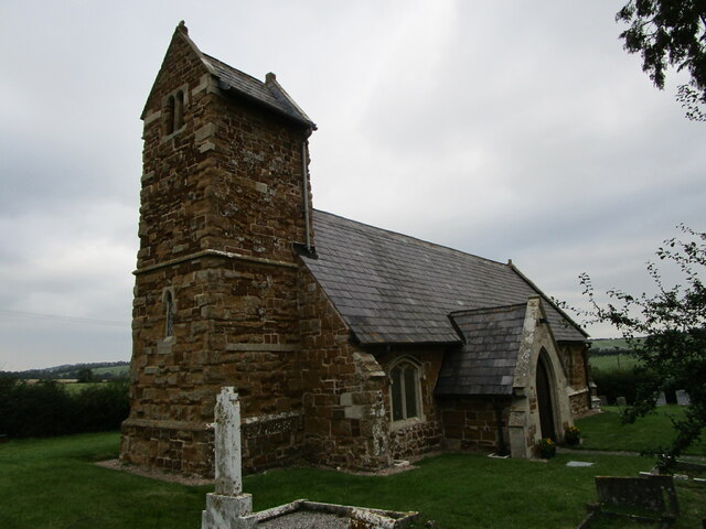
The village of Asfordby has a quaint and charming atmosphere, with several historic buildings and landmarks. St. Bartholomew's Church, a Grade II listed building, is a prominent feature of the village. It dates back to the 13th century and boasts a stunning architectural design.
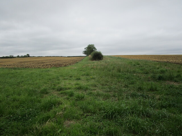
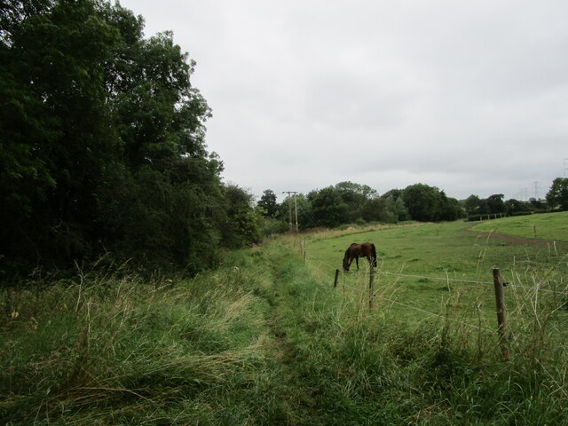
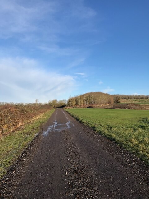
The local economy of Asfordby is primarily based on agriculture, with many residents engaged in farming or related industries. The surrounding countryside is characterized by rolling hills, meadows, and farmland, making it an ideal location for agricultural activities.
Asfordby is well-connected to nearby towns and cities by road, with the A6006 running through the parish. Additionally, there are regular bus services that provide transportation links to Melton Mowbray and Leicester.
The village also offers a range of amenities and services for its residents, including a primary school, village hall, post office, and several shops and pubs. The community spirit is strong in Asfordby, with various local events and festivals organized throughout the year, bringing residents together.
Overall, Asfordby is a picturesque and close-knit community, offering a peaceful and rural lifestyle for its residents, while still providing convenient access to nearby urban centers.
If you have any feedback on the listing, please let us know in the comments section below.
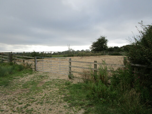
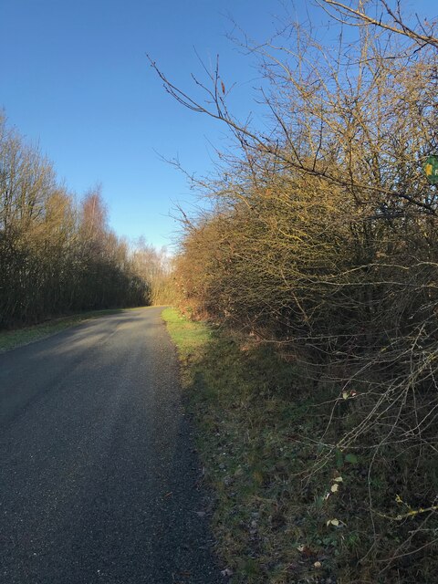
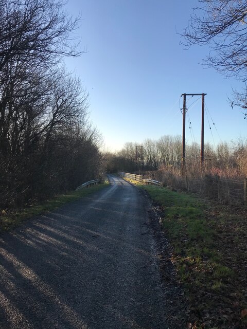
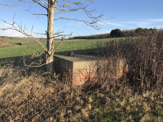
Asfordby Images
Images are sourced within 2km of 52.771744/-0.945632 or Grid Reference SK7119. Thanks to Geograph Open Source API. All images are credited.

Asfordby is located at Grid Ref: SK7119 (Lat: 52.771744, Lng: -0.945632)
Administrative County: Leicestershire
District: Melton
Police Authority: Leicestershire
What 3 Words
///solicitor.users.surfer. Near Asfordby, Leicestershire
Nearby Locations
Related Wikis

Old Hall, Asfordby
The Old Hall is a Jacobean former manor house in the village of Asfordby, Leicestershire. Built of brick c. 1620, it has three gables. It is a Grade II...

All Saints' Church, Asfordby
All Saints' Church is a church in Asfordby, Leicestershire, England. It is a Grade I listed building. == History == The church is made up of a nave, tower...
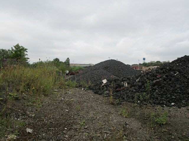
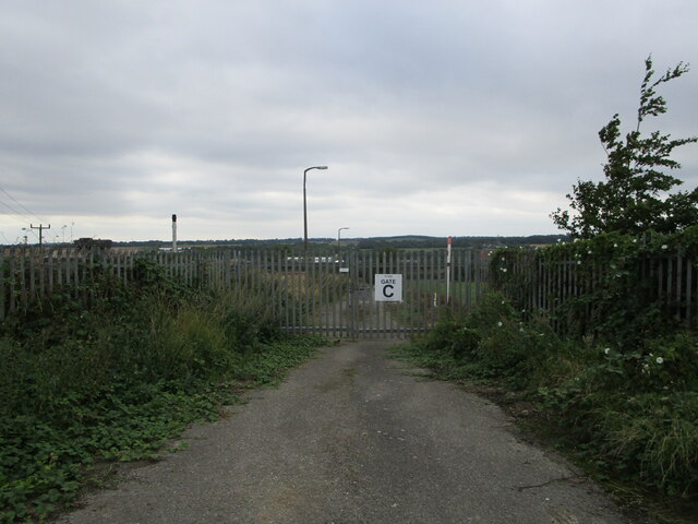
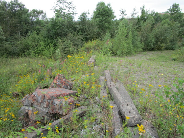
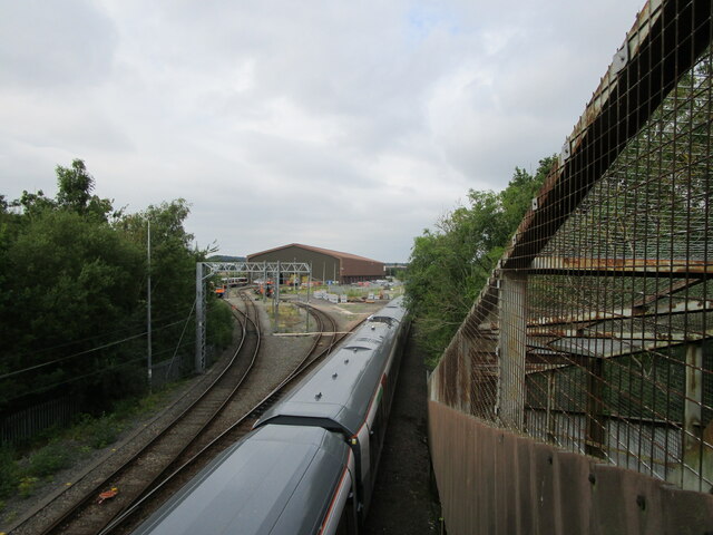
Asfordby Colliery
Asfordby Colliery (also known as Asfordby super-pit and Asfordby Mine) was a coal mine located in the village of Asfordby, near to Melton Mowbray in Leicestershire...
Holwell Sports F.C.
Holwell Sports Football Club is a football club based in Asfordby Hill, near Melton Mowbray, Leicestershire, England. They are currently members of the...
Asfordby Hill
Asfordby Hill is a hamlet on the A6006 road, in the parish of Asfordby, in the Melton district, in the English county of Leicestershire. == Amenities... ==

Kirby Bellars Priory
Kirby Bellars Priory was a small priory of Canons Regular of Saint Augustine in Leicestershire, England. It is now the Church of England Parish Church...
Asfordby
Asfordby is a village and civil parish in the Melton district of Leicestershire, to the west of Melton Mowbray on the A6006 road. The village is north...

Saxelbye
Saxelbye (or Saxelby) is a small village and former civil parish, now in the parish of Grimston, in the district of Melton in Leicestershire, England....
Nearby Amenities
Located within 500m of 52.771744,-0.945632Have you been to Asfordby?
Leave your review of Asfordby below (or comments, questions and feedback).