The Valley

Settlement in Leicestershire Melton

England

The Valley

Coal stacks, Holwell Works
Coal stacks, Holwell Works Credit: Jonathan Thacker

The Valley is a picturesque village located in the county of Leicestershire, England. Situated in the heart of the Charnwood Forest, it is surrounded by breathtaking natural beauty. The village is conveniently positioned just a few miles away from the bustling city of Leicester, offering residents the perfect blend of countryside tranquility and urban amenities.

The Valley is home to a close-knit community, with a population of approximately 2,000 residents. The village boasts a range of amenities, including a primary school, a village hall, and a local pub, which serves as a popular gathering spot for both locals and visitors. The residents take great pride in preserving the village's historical charm, with many of the buildings dating back several centuries.

Nature enthusiasts are drawn to The Valley for its idyllic setting. The surrounding Charnwood Forest provides ample opportunities for hiking, cycling, and wildlife spotting. Bradgate Park, a nearby nature reserve, is a particular highlight, boasting ancient woodlands and a herd of deer. The village also benefits from its close proximity to the National Forest, which offers further opportunities for outdoor recreation.

The Valley is well-connected to the rest of Leicestershire, with easy access to major road networks and public transportation services. This makes it an attractive location for commuters working in Leicester or other nearby towns. Overall, The Valley offers a peaceful and picturesque retreat, making it a highly sought-after place to live for those seeking a rural lifestyle within reach of urban conveniences.

If you have any feedback on the listing, please let us know in the comments section below.
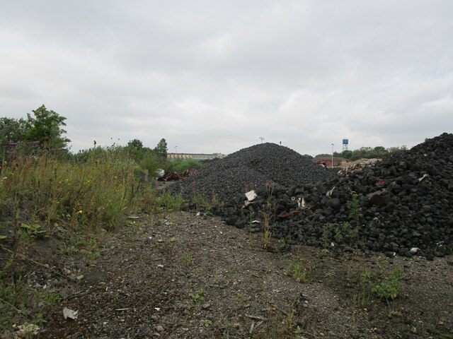
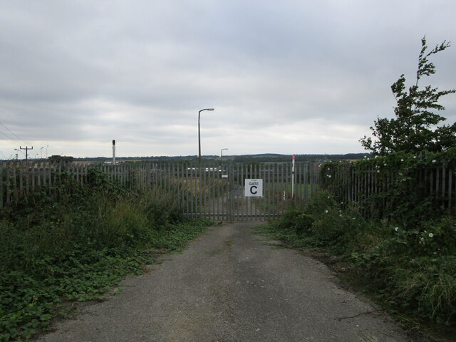
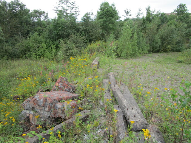
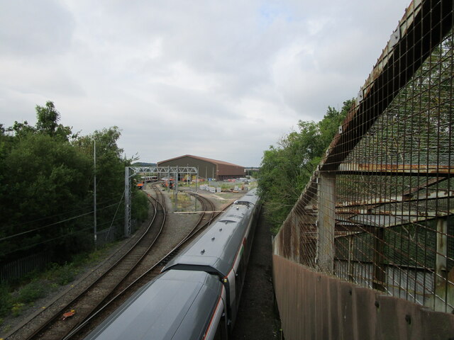
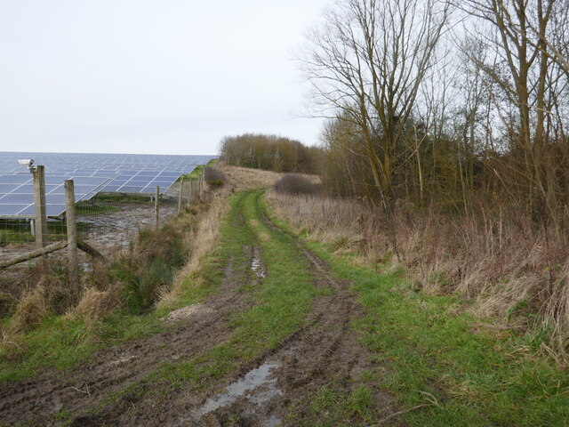
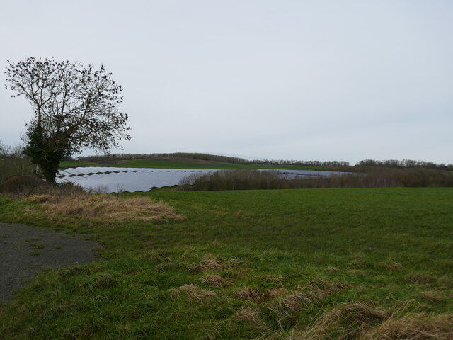
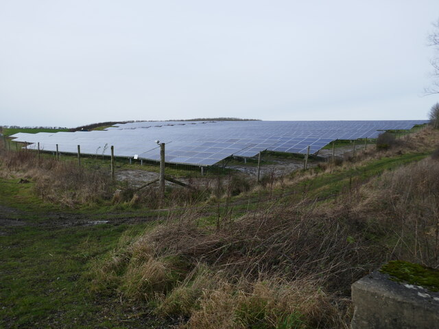
The Valley Images

Images are sourced within 2km of 52.766445/-0.93722009 or Grid Reference SK7119. Thanks to Geograph Open Source API. All images are credited.

Coal stacks, Holwell Works
Disused entrance, Holwell Works
Remains at former industrial site
Melton Rail Innovation and Development Centre
St. Bartholomew's church, Welby Despite its relatively remote position this is very much an active church. Listed grade II* <span class="nowrap"><a title="https://historicengland.org.uk/listing/the-list/list-entry/1075115" rel="nofollow ugc noopener" href="https://historicengland.org.uk/listing/the-list/list-entry/1075115">Link</a><img style="margin-left:2px;" alt="External link" title="External link - shift click to open in new window" src="https://s1.geograph.org.uk/img/external.png" width="10" height="10"/></span>
St. Bartholomew's church, Welby
Despite its relatively remote position this is very much an active church. Listed grade II* LinkExternal link
Church car park, Welby
Road towards Welby
Road towards Welby
Road towards bridge
Road towards bridge
Subterranean structure
Bridleway - solar farm on right
Track near to Saxilbye
Restricted byway near Asfordby
Farm track alongside a solar farm
Cattle pen near Welby
Control equipment sheds No doubt for the two nearby solar farms.
Control equipment sheds
No doubt for the two nearby solar farms.
Roadside plantation, Welby The road is on the other side of the plantation.
Roadside plantation, Welby
The road is on the other side of the plantation.
Grass field and solar farm near Welby
Solar farm near Welby
Show me another place!

The Valley is located at Grid Ref: SK7119 (Lat: 52.766445, Lng: -0.93722009)

Administrative County: Leicestershire

District: Melton

Police Authority: Leicestershire

What 3 Words

///manliness.spellings.clash. Near Asfordby, Leicestershire

Related Wikis

Asfordby Hill

Asfordby Hill is a hamlet on the A6006 road, in the parish of Asfordby, in the Melton district, in the English county of Leicestershire. == Amenities... ==

Holwell Sports F.C.

Holwell Sports Football Club is a football club based in Asfordby Hill, near Melton Mowbray, Leicestershire, England. They are currently members of the...

Kirby Bellars Priory

Kirby Bellars Priory was a small priory of Canons Regular of Saint Augustine in Leicestershire, England. It is now the Church of England Parish Church...

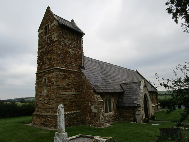
All Saints' Church, Asfordby

All Saints' Church is a church in Asfordby, Leicestershire, England. It is a Grade I listed building. == History == The church is made up of a nave, tower...

Old Hall, Asfordby

The Old Hall is a Jacobean former manor house in the village of Asfordby, Leicestershire. Built of brick c. 1620, it has three gables. It is a Grade II...

Asfordby Colliery

Asfordby Colliery (also known as Asfordby super-pit and Asfordby Mine) was a coal mine located in the village of Asfordby, near to Melton Mowbray in Leicestershire...

Asfordby railway station

Asfordby railway station was a station serving the villages of Asfordby and Kirby Bellars in Leicestershire. The station was situated at a level crossing...

Asfordby

Asfordby is a village and civil parish in the Melton district of Leicestershire, to the west of Melton Mowbray on the A6006 road. The village is north...

Nearby Amenities

Located within 500m of 52.766445,-0.93722009
Railway: switch
Lat/Long: 52.7677178/-0.9357333
Asfordby Valley
Created By: Potlatch 0.10f
Place: village
Lat/Long: 52.7666554/-0.9383838
Bus Stop
Roseberry Avenue
Alt Name: Asfordby Valley
Bus: yes
Naptan AltCommonName: Asfordby Valley
Naptan AtcoCode: 260000011
Naptan Bearing: NE
Naptan CommonName: Roseberry Avenue
Naptan Indicator: adjacent
Naptan Landmark: Roseberry Avenue
Naptan NaptanCode: leidmtap
Naptan Notes: Hourly - County
Naptan Street: Valley Road
Naptan Verified: no
Public Transport: platform
Source: naptan_import
Lat/Long: 52.766136/-0.9380254
Bus Stop
Roseberry Avenue
Alt Name: Asfordby Valley
Bus: yes
Naptan AltCommonName: Asfordby Valley
Naptan AtcoCode: 260000012
Naptan Bearing: SW
Naptan CommonName: Roseberry Avenue
Naptan Indicator: opposite
Naptan Landmark: Roseberry Avenue
Naptan NaptanCode: leidmtat
Naptan Notes: Hourly - County
Naptan Street: Valley Road
Naptan Verified: no
Public Transport: platform
Source: naptan_import
Lat/Long: 52.7659038/-0.9381941
Waste Basket
Lat/Long: 52.7666647/-0.9362064
Waste Basket
Lat/Long: 52.7666617/-0.9364427
Bench
Lat/Long: 52.7666669/-0.9362571
Post Box
Post Box Type: lamp
Lat/Long: 52.7666746/-0.936365
Bench
Lat/Long: 52.7666649/-0.9363033
North Chord Points
Alt Name: Holwell Branch Junction
Railway: junction
Lat/Long: 52.7676957/-0.9354284
Power: pole
Lat/Long: 52.7620364/-0.9357825
Power: pole
Lat/Long: 52.762374/-0.9370565
Power: pole
Lat/Long: 52.7624892/-0.9386551
Power: pole
Lat/Long: 52.762598/-0.9402618
Power: pole
Lat/Long: 52.7646722/-0.9431706
Power: pole
Lat/Long: 52.765917/-0.9433651
Power: pole
Lat/Long: 52.7663389/-0.9434053
Power: pole
Lat/Long: 52.7668842/-0.9434482
Power: pole
Lat/Long: 52.7679489/-0.9435555
Generator Method: photovoltaic
Generator Output Electricity: yes
Generator Source: solar
Generator Type: solar_photovoltaic_panel
Location: roof
Power: generator
Lat/Long: 52.7666526/-0.9388387
The data included in this document is from www.openstreetmap.org. The data is made available under ODbL.

Have you been to The Valley?

Leave your review of The Valley below (or comments, questions and feedback).