Arkendale
Civil Parish in Yorkshire Harrogate
England
Arkendale
Arkendale is a civil parish located in the Harrogate district of North Yorkshire, England. Situated approximately 11 miles northeast of Harrogate and 3 miles south of Knaresborough, it covers an area of about 1,250 acres.
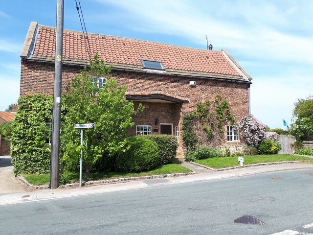
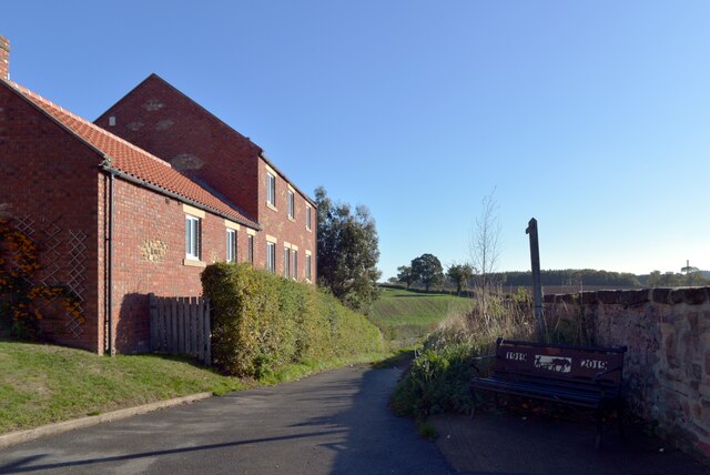
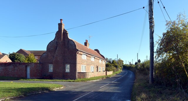
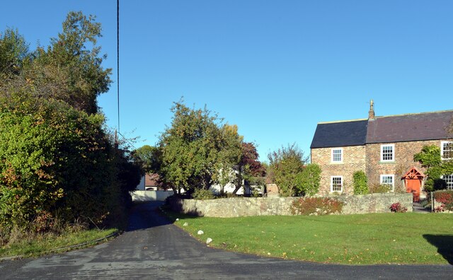
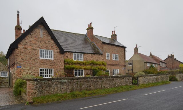
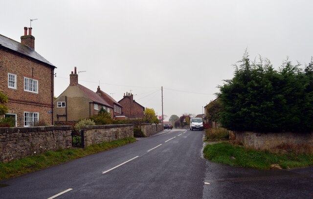
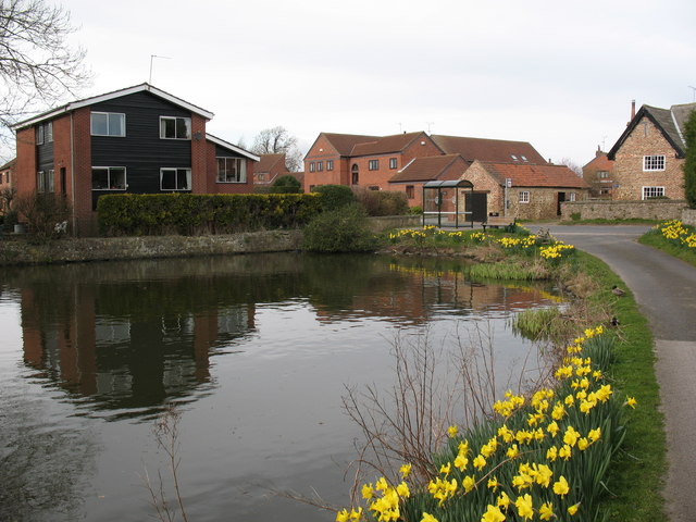
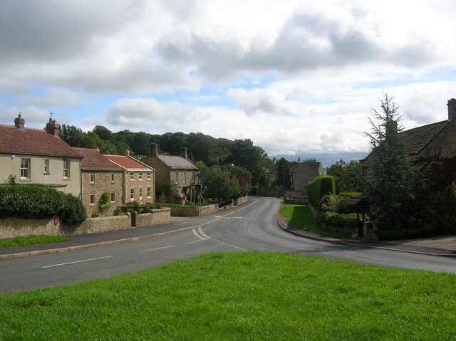
The village of Arkendale itself is a charming rural settlement with a population of around 300 residents. It is nestled in the picturesque countryside, surrounded by rolling hills and farmland. The village is known for its tranquil and idyllic setting, making it a popular choice for those seeking a peaceful and scenic place to live.
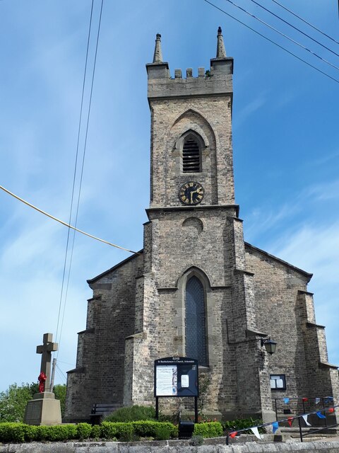
Arkendale has a rich history, with evidence of human habitation dating back to the Roman era. The village is home to several historic buildings, including St Bartholomew's Church, which dates back to the 12th century. The church is renowned for its architectural beauty, featuring a Norman doorway and a medieval stained glass window.
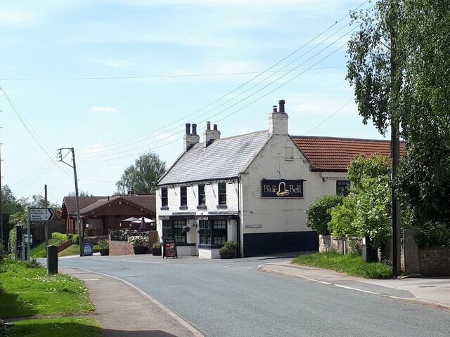
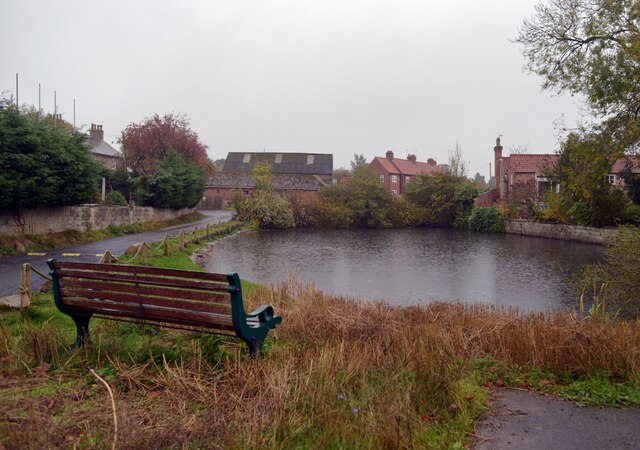
In terms of amenities, Arkendale has a community hall that serves as a hub for social events and gatherings. There are also a few local businesses, including a pub and a garden center. For more extensive amenities, residents can easily access nearby towns such as Harrogate and Knaresborough.
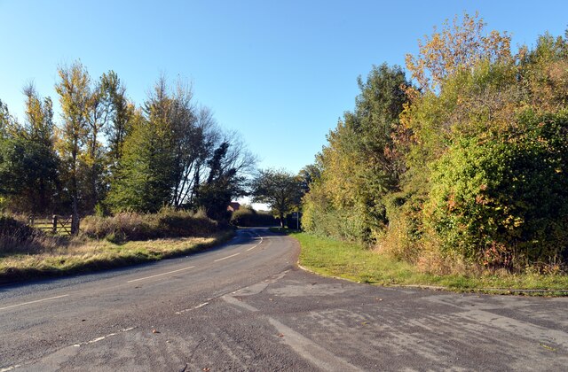
The village benefits from its proximity to the beautiful Yorkshire countryside, offering ample opportunities for outdoor activities such as walking, cycling, and horse riding. Arkendale also benefits from good transport links, with the A1(M) motorway just a short drive away, providing easy access to cities like Leeds, York, and Newcastle.
Overall, Arkendale is a charming and peaceful village with a rich history and a close-knit community. Its beautiful surroundings and convenient location make it an attractive place to live for those seeking a rural lifestyle.
If you have any feedback on the listing, please let us know in the comments section below.
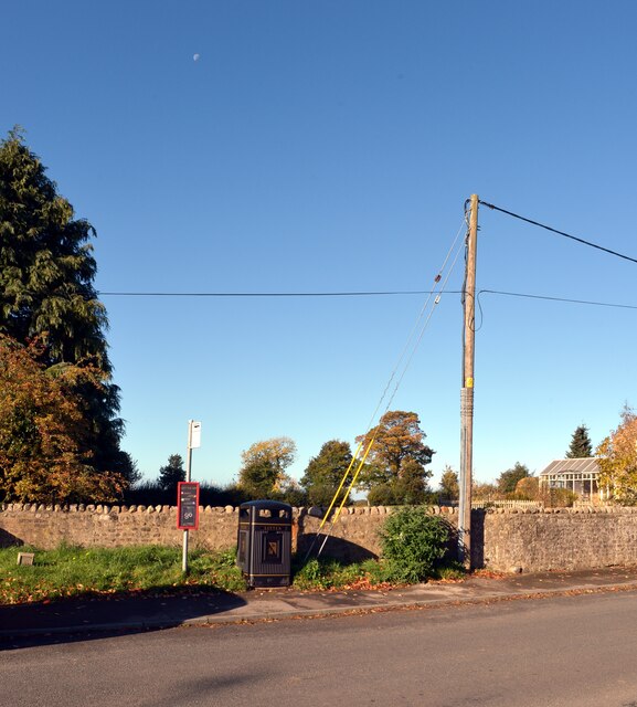
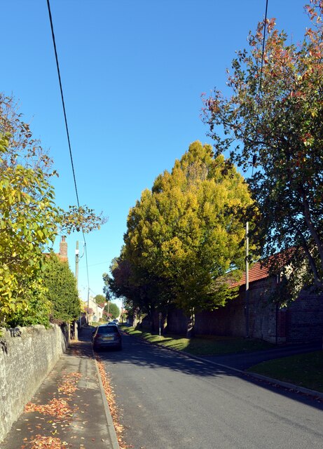
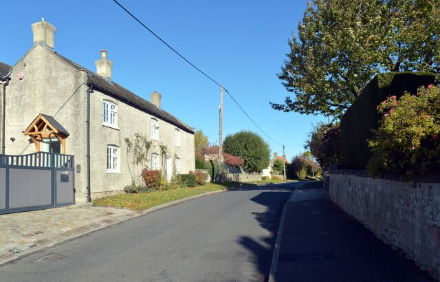
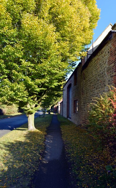
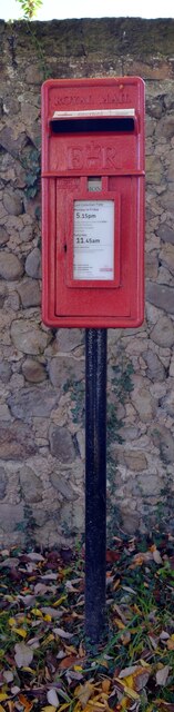
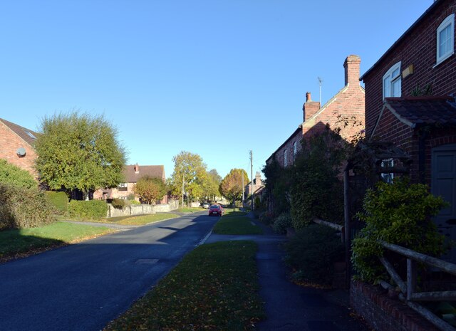
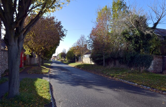
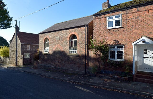
Arkendale Images
Images are sourced within 2km of 54.037261/-1.421126 or Grid Reference SE3860. Thanks to Geograph Open Source API. All images are credited.
Arkendale is located at Grid Ref: SE3860 (Lat: 54.037261, Lng: -1.421126)
Division: West Riding
Administrative County: North Yorkshire
District: Harrogate
Police Authority: North Yorkshire
What 3 Words
///desktop.breezes.radically. Near Knaresborough, North Yorkshire
Nearby Locations
Related Wikis
Ferrensby
Ferrensby is a village and civil parish in the Harrogate district of North Yorkshire, England. The population of the civil parish at the 2011 census was...

Arkendale
Arkendale is a village and civil parish in the Harrogate district of North Yorkshire, England. It is 6 miles (10 km) north-east of Harrogate town, and...

Copgrove railway station
Copgrove railway station served the village of Copgrove, North Yorkshire, England from 1875 to 1964 on the Pilmoor, Boroughbridge and Knaresborough Railway...

Allerton waste recovery park
Allerton waste recovery park is a waste recovery and incineration site located on a former quarry at Allerton Mauleverer, near Knaresborough, England....

Staveley, North Yorkshire
Staveley is a village and civil parish in the Harrogate district of North Yorkshire, England. It is situated 4 miles (6.4 km) north of Knaresborough and...
Farnham, North Yorkshire
Farnham is a village and civil parish in the Harrogate district of North Yorkshire, England. It is situated 2 miles (3.2 km) north of Knaresborough....

Flaxby
Flaxby is a village and civil parish in the Harrogate district of North Yorkshire, England. It is close to the A1(M) motorway and 2 miles (3.2 km) east...

Hay-a-Park Gravel Pit
Hay-a-Park Gravel Pit is a Site of Special Scientific Interest, or SSSI, adjacent to the east side of the town of Knaresborough, North Yorkshire, England...
Nearby Amenities
Located within 500m of 54.037261,-1.421126Have you been to Arkendale?
Leave your review of Arkendale below (or comments, questions and feedback).