Ansty and Staplefield

Civil Parish in Sussex Mid Sussex

England

Ansty and Staplefield

View south from the High Weald Landscape Trail
View south from the High Weald Landscape Trail Credit: Ian Cunliffe

Ansty and Staplefield is a civil parish located in the Mid Sussex district of West Sussex, England. It is situated in the southern part of the county, approximately 10 miles north of the city of Brighton and Hove. The parish covers an area of about 8 square miles and is home to a population of around 1,500 residents.

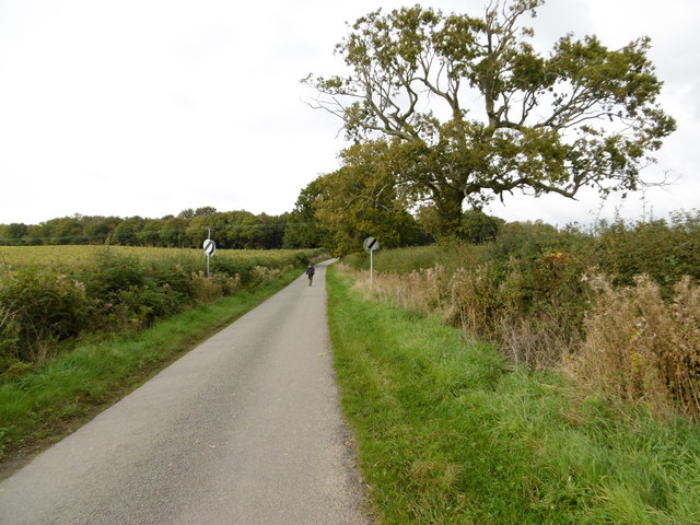
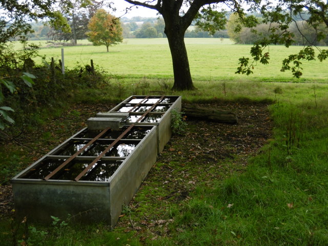
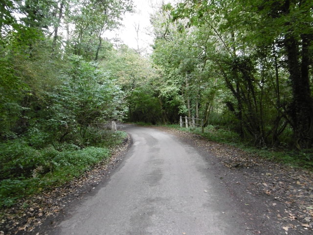
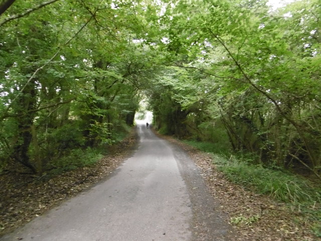
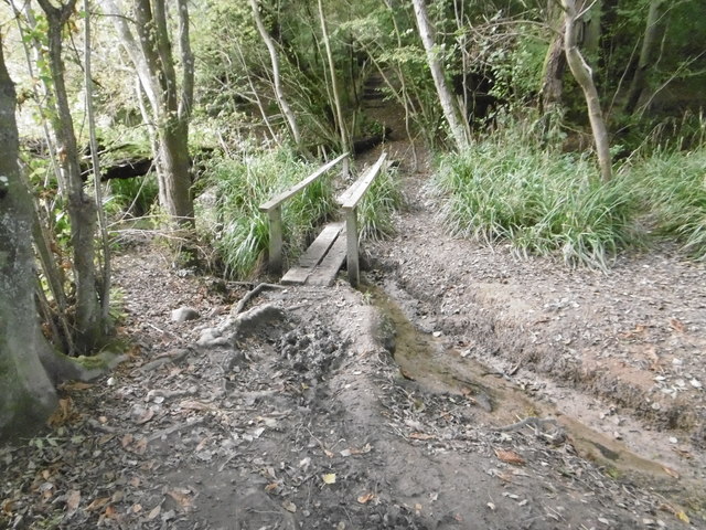
Ansty and Staplefield is a rural area known for its picturesque landscapes and charming countryside. The parish is predominantly made up of farmland, woodland, and open spaces, providing a peaceful and idyllic setting for its inhabitants. The area is dotted with traditional cottages and historic buildings, adding to its quintessential English village feel.

The village of Ansty is located towards the western part of the parish and is known for its beautiful 12th-century church, St. James the Less. The church is a Grade II* listed building and is considered a significant historical landmark in the area. Staplefield, on the other hand, is a smaller settlement towards the eastern part of the parish.

Both Ansty and Staplefield offer a range of amenities and services to their residents, including a primary school, village hall, and local shops. The area is also well-connected to nearby towns and cities, with good transport links via road and public transport.

Overall, Ansty and Staplefield is a charming and tranquil civil parish that offers a rural lifestyle with easy access to nearby urban centers. It is an ideal location for those seeking a peaceful countryside retreat while still being within close proximity to larger towns and cities.

If you have any feedback on the listing, please let us know in the comments section below.

Ansty and Staplefield Images

Images are sourced within 2km of 51.017209/-0.17458 or Grid Reference TQ2825. Thanks to Geograph Open Source API. All images are credited.

View south from the High Weald Landscape Trail
Broxmead Lodge - on Broxmead Lane
Deak's Lane Westup Wood is in the distance.
Deak's Lane
Westup Wood is in the distance.
The High Weald Landscape Trail The High Weald Landscape Trail heads away from Deak's Lane here on its way through Cuckfield Park to Cuckfield.
The High Weald Landscape Trail
The High Weald Landscape Trail heads away from Deak's Lane here on its way through Cuckfield Park to Cuckfield.
Cuckfield Park Cuckfield Park was built in 1574. This view from the High Weald Landscape Trail to the west of Cuckfield looks across Cuckfield Park.
Cuckfield Park
Cuckfield Park was built in 1574. This view from the High Weald Landscape Trail to the west of Cuckfield looks across Cuckfield Park.
Deak's Lane Deak's Lane crosses a stream here as it passes through Westup Wood.
Deak's Lane
Deak's Lane crosses a stream here as it passes through Westup Wood.
Deak's Lane passing through Westup Wood Pondtail Cottage is just ahead after leaving Westup Wood.
Deak's Lane passing through Westup Wood
Pondtail Cottage is just ahead after leaving Westup Wood.
Can cats contact the Feline Advisory Bureau? I love the idea of cats contacting the Feline Advisory Bureau for advice on diet etc. A bit like a while back seeing a cat on its own go through the door of a pet shop in Sheerness.

This sign is in Deak's Lane
Can cats contact the Feline Advisory Bureau?
I love the idea of cats contacting the Feline Advisory Bureau for advice on diet etc. A bit like a while back seeing a cat on its own go through the door of a pet shop in Sheerness. This sign is in Deak's Lane
Footbridge on the High Weald Landscape Trail This is where the High Weald Landscape Trail crosses a stream in Walks Wood.
Footbridge on the High Weald Landscape Trail
This is where the High Weald Landscape Trail crosses a stream in Walks Wood.
Footbridge in Cuckfield Park Cuckfield Park was built in 1574. This is where the High Weald Landscape Trail crosses a stream in New England Wood. The stream opens out to form the lake in Cuckfield Park just to the left of the footbridge.
Footbridge in Cuckfield Park
Cuckfield Park was built in 1574. This is where the High Weald Landscape Trail crosses a stream in New England Wood. The stream opens out to form the lake in Cuckfield Park just to the left of the footbridge.
Veteran Car at London to Brighton Veteran Car Run at Hammer Hill, West Sussex The day started off quite foggy, but that hadn't deterred either the participants or the spectators.
Veteran Car at London to Brighton Veteran Car Run at Hammer Hill, West Sussex
The day started off quite foggy, but that hadn't deterred either the participants or the spectators.
Muddy Field at Hammer Hill, West Sussex
Veteran Cars at London to Brighton Veteran Car Run, at Hammer Hill, West Sussex
Dead Bird at Side of the Road at Hammer Hill, West Sussex
Veteran Car, Hammer Hill, West Sussex The cars struggle to get up this hill.
Veteran Car, Hammer Hill, West Sussex
The cars struggle to get up this hill.
Veteran Cars, Hammer Hill, West Sussex The cars struggle to get up this hill.
Veteran Cars, Hammer Hill, West Sussex
The cars struggle to get up this hill.
Veteran Cars, Hammer Hill, West Sussex The cars struggle to get up this hill.
Veteran Cars, Hammer Hill, West Sussex
The cars struggle to get up this hill.
Show me another place!

Ansty and Staplefield is located at Grid Ref: TQ2825 (Lat: 51.017209, Lng: -0.17458)

Administrative County: West Sussex

District: Mid Sussex

Police Authority: Sussex

What 3 Words

///wobbles.coached.headset. Near Cuckfield, West Sussex

Related Wikis

Ansty and Staplefield

Ansty and Staplefield, previously Cuckfield Rural, is a civil parish in the Mid Sussex District of West Sussex, England, covering an area from the north...

Cuckfield & Lucastes (electoral division)

Cuckfield & Lucastes is an electoral division of West Sussex in England, and returns one member to sit on West Sussex County Council. == Extent == The...

Tyes Place

Tyes Place is a listed historic manor house in Staplefield, West Sussex, England. It was once a farm, then in the first half of the 20th century it was...

Staplefield

Staplefield is a village in the Mid Sussex District of West Sussex, England, situated 6 kilometres (3.7 mi) north-west of Haywards Heath on the B2114...

Ockenden Manor

Ockenden Manor is located in Cuckfield, West Sussex, England. The building itself dates from 1520 and is operated as a hotel and restaurant by the Historic...

Cuckfield

Cuckfield ( KUUK-feeld) is a village and civil parish in the Mid Sussex District of West Sussex, England, on the southern slopes of the Weald. It lies...

Wykehurst Place

Wykehurst Place (or Park) is a Gothic Revival mansion in Bolney, West Sussex, England, resembling more the châteaux of the Loire than an English manor...

Holy Trinity Church, Cuckfield

Holy Trinity Church is an Anglican church in the village of Cuckfield in the district of Mid Sussex; one of seven local government districts in the English...

Nearby Amenities

Located within 500m of 51.017209,-0.17458
Bus Stop
Sloughgreen
Bus: yes
Naptan AtcoCode: 4400HR0515
Naptan Bearing: N
Naptan CommonName: Sloughgreen
Naptan Indicator: away from junction
Naptan Landmark: Sloughgreen Lane
Naptan NaptanCode: wsxawpad
Naptan Street: B2114 Cuckfield Road
Naptan Verified: no
Public Transport: platform
Source: naptan_import
Lat/Long: 51.0194353/-0.1701232
Bus Stop
Sloughgreen
Bus: yes
Naptan AtcoCode: 4400HR0516
Naptan Bearing: S
Naptan CommonName: Sloughgreen
Naptan Indicator: towards junction
Naptan Landmark: Sloughgreen Lane
Naptan NaptanCode: wsxawpag
Naptan Street: B2114 Cuckfield Road
Naptan Verified: no
Public Transport: platform
Source: naptan_import
Lat/Long: 51.020157/-0.1703815
Post Box
Operator: Royal Mail
Post Box Type: lamp
Ref: RH17 19
Royal Cypher: EIIR
Royal Cypher Wikidata: Q33102113
Lat/Long: 51.0193392/-0.1701008
Slough Green
Place: hamlet
Lat/Long: 51.019192/-0.1698013
The data included in this document is from www.openstreetmap.org. The data is made available under ODbL.

Have you been to Ansty and Staplefield?

Leave your review of Ansty and Staplefield below (or comments, questions and feedback).