Ansty
Civil Parish in Wiltshire
England
Ansty
Ansty is a civil parish located in the county of Wiltshire, England. It is situated approximately 9 miles southwest of the town of Salisbury and covers an area of around 4 square miles. The parish is part of the Salisbury District and falls within the administrative authority of Wiltshire Council.
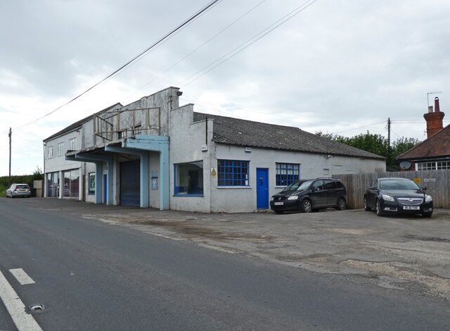
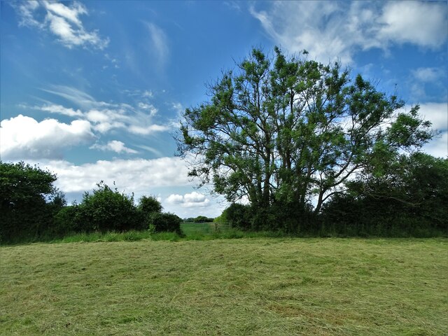
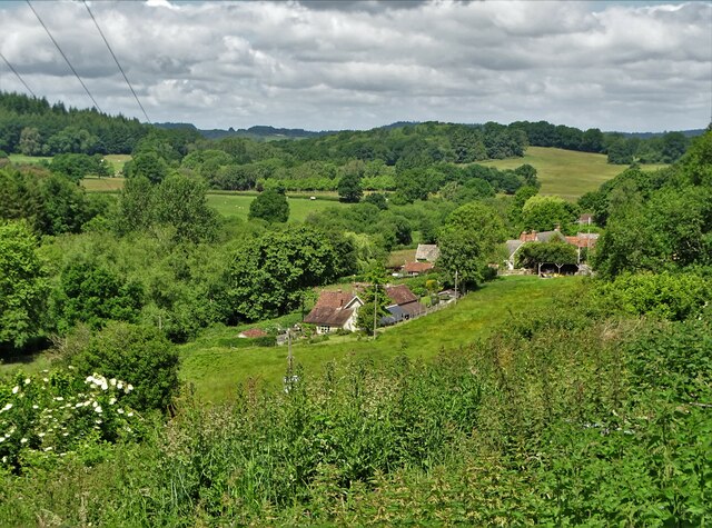
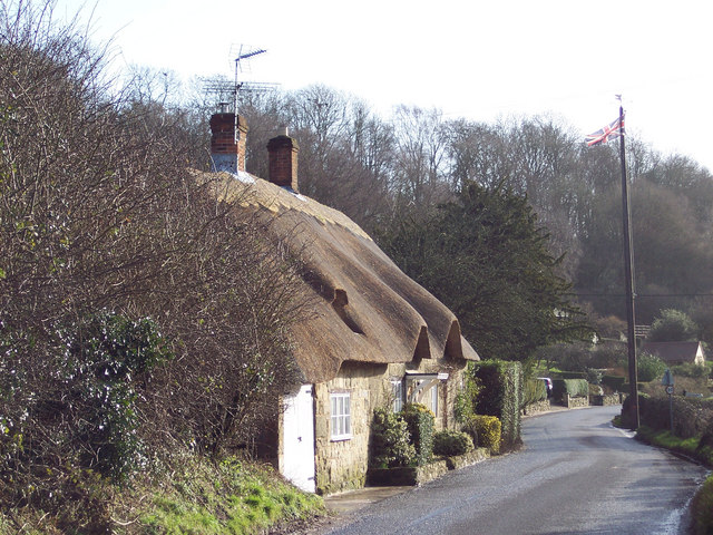
Ansty is a rural village with a population of around 200 residents. It is predominantly an agricultural area with a few small-scale businesses and farms. The landscape of Ansty is characterized by rolling hills, open fields, and farmlands, providing a picturesque and tranquil setting.
The village itself is small, consisting of a few scattered houses and cottages along its main road. There is also a local pub, The Rose and Crown, which serves as a social hub for the community. Despite its small size, Ansty has a strong sense of community, with residents actively participating in local events and organizations.
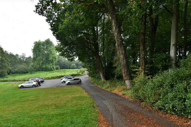
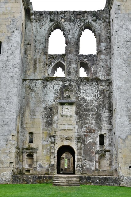
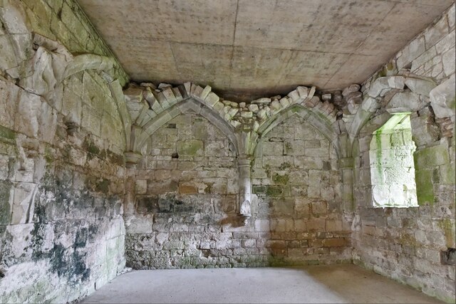
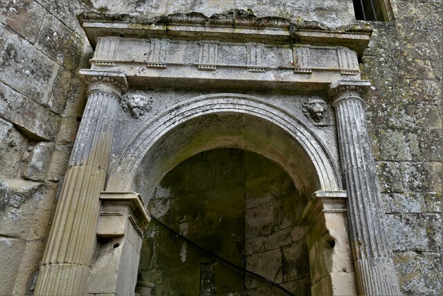
Ansty is surrounded by natural beauty and offers several outdoor recreational opportunities. The nearby Cranborne Chase Area of Outstanding Natural Beauty provides ample opportunities for walking, cycling, and exploring the countryside. Additionally, the village is located close to the ruins of Old Wardour Castle, a popular tourist attraction in the area.
Overall, Ansty is a peaceful and idyllic village that offers a rural lifestyle and a close-knit community. Its scenic surroundings and proximity to nature make it an attractive destination for those seeking a quiet retreat in the Wiltshire countryside.
If you have any feedback on the listing, please let us know in the comments section below.
Ansty Images
Images are sourced within 2km of 51.029666/-2.071797 or Grid Reference ST9525. Thanks to Geograph Open Source API. All images are credited.


Ansty is located at Grid Ref: ST9525 (Lat: 51.029666, Lng: -2.071797)
Unitary Authority: Wiltshire
Police Authority: Wiltshire
What 3 Words
///homecare.solid.sundial. Near Ansty, Wiltshire
Nearby Locations
Related Wikis

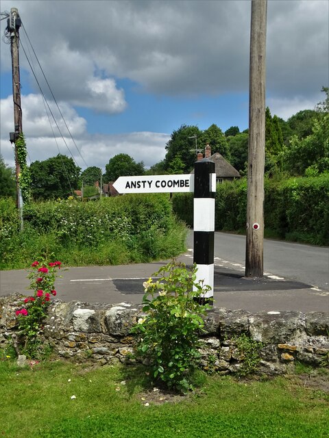
Ansty Coombe
Ansty Coombe is a hamlet in Ansty parish, in southwest Wiltshire, England. It lies about six miles (10 km) east of Shaftesbury, Dorset. == Sources... ==
Ansty, Wiltshire
Ansty is a small village and civil parish in southwest Wiltshire, England, about 6 miles (10 km) east of Shaftesbury. The village is just north of the...

Gallows Hill SSSI, Wiltshire
Gallows Hill SSSI is a Site of Special Scientific Interest on the north side of the Ebble Valley in south Wiltshire, England. Its chalk grassland and scrub...

Siege of Wardour Castle
Wardour Castle in Wiltshire, England, was besieged twice during the First English Civil War; once in May 1643, and then again between November 1643 and...
Nearby Amenities
Located within 500m of 51.029666,-2.071797Have you been to Ansty?
Leave your review of Ansty below (or comments, questions and feedback).