Alton
Civil Parish in Wiltshire
England
Alton
Alton is a civil parish located in the county of Wiltshire, England. Situated in the southwestern part of the country, it is nestled within the beautiful countryside of the Cranborne Chase Area of Outstanding Natural Beauty.
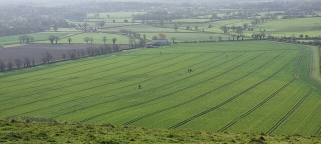
Covering an area of approximately 6.6 square miles, Alton is a small but charming village with a population of around 350 residents. It is located near the larger towns of Salisbury, Shaftesbury, and Blandford Forum, providing easy access to amenities and services.
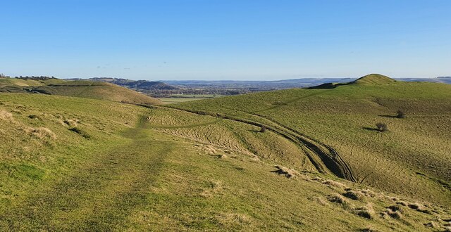
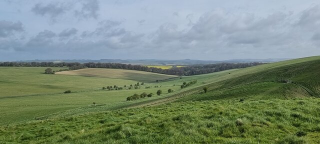
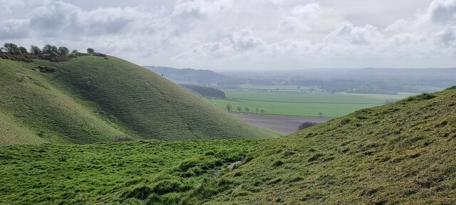
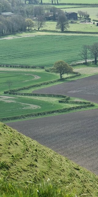
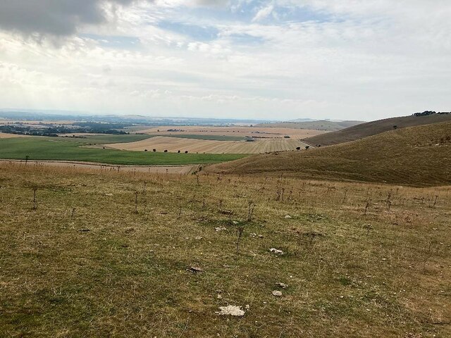
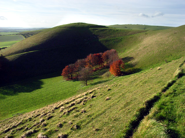
The village is renowned for its picturesque surroundings, with rolling hills, lush farmland, and meandering streams. It offers a tranquil and idyllic setting for those seeking a peaceful retreat away from the hustle and bustle of city life.
Alton is rich in history, with evidence of human settlement dating back to the prehistoric era. The village's medieval church, St. Mary's, is a prominent landmark and holds significant historical and architectural value.
Despite its small size, Alton boasts a strong sense of community. The village has a primary school, a village hall, and a local pub, providing a hub for social interactions and community events.
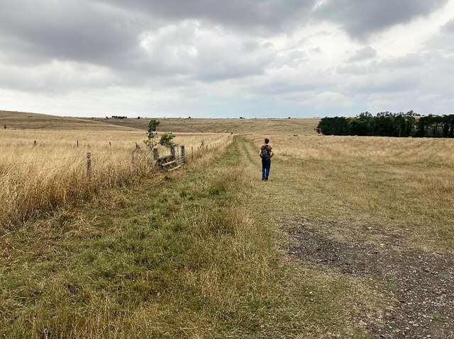
The surrounding countryside offers ample opportunities for outdoor activities, such as hiking, cycling, and horseback riding. The nearby Cranborne Chase is a designated Area of Outstanding Natural Beauty, attracting nature enthusiasts and outdoor enthusiasts alike.
In conclusion, Alton, Wiltshire, is a charming and picturesque village with a rich history and a strong sense of community. It offers a peaceful and scenic environment, making it an ideal place for those seeking a tranquil rural lifestyle.
If you have any feedback on the listing, please let us know in the comments section below.
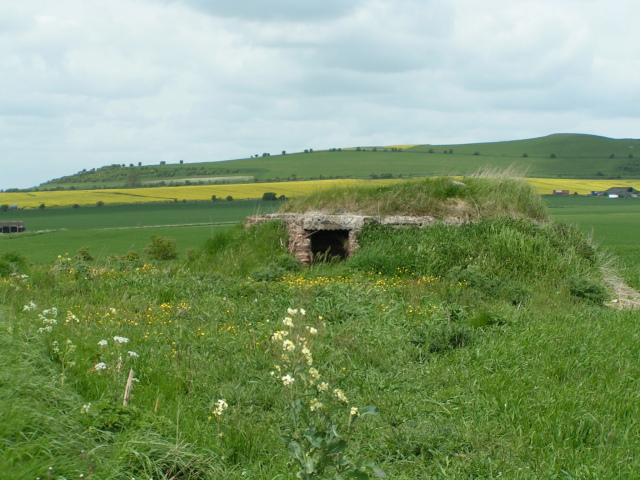
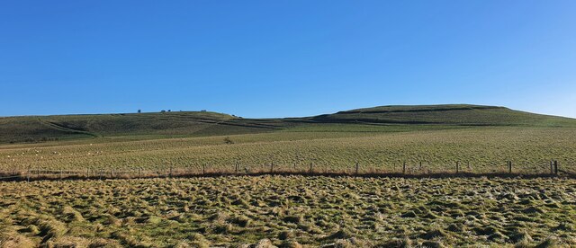
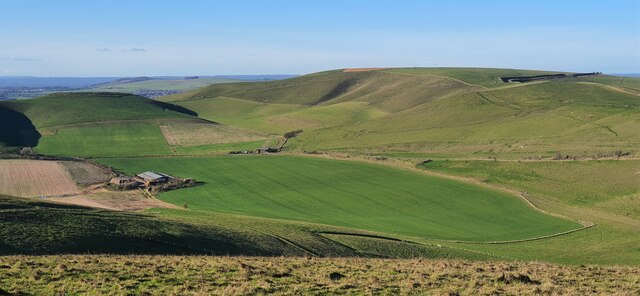
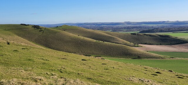
Alton Images
Images are sourced within 2km of 51.367213/-1.832691 or Grid Reference SU1163. Thanks to Geograph Open Source API. All images are credited.


Alton is located at Grid Ref: SU1163 (Lat: 51.367213, Lng: -1.832691)
Unitary Authority: Wiltshire
Police Authority: Wiltshire
What 3 Words
///form.otherwise.salutes. Near Huish, Wiltshire
Nearby Locations
Related Wikis

Adam's Grave
Adam's Grave was a Neolithic long barrow near Alton Barnes in Wiltshire, southwest England. Its remains have been scheduled as an ancient monument.The...

Pewsey Downs
Pewsey Downs (grid reference SU113636) is a 305.3 hectare biological Site of Special Scientific Interest on the southern edge of the Marlborough Downs...
Knap Hill
Knap Hill lies on the northern rim of the Vale of Pewsey, in northern Wiltshire, England, about a mile (1.6 km) north of the village of Alton Priors....

Alton Barnes White Horse
Alton Barnes White Horse is a chalk hill figure of a white horse located on Milk Hill some 1,000 metres north of the village of Alton, Wiltshire, England...

Alton, Wiltshire
Alton is a civil parish in Wiltshire, England. The parish includes the adjacent villages of Alton Barnes and Alton Priors, and the nearby hamlet of Honeystreet...

All Saints Church, Alton Priors
All Saints Church in Alton Priors, Wiltshire, England, dates from the 12th century. It is recorded in the National Heritage List for England as a Grade...

Battle of Woden's Burg (592)
The Anglo-Saxon Chronicle records a battle fought in the year 592 at Woden's Barrow (Old English "Wōdnesbeorġ"), the neolithic long barrow now known as...
Battle of Woden's Burg (715)
The Anglo-Saxon Chronicle records a battle fought in the year 715 at Woden's Burg, the neolithic long barrow now known as Adam's Grave, near Marlborough...
Related Videos
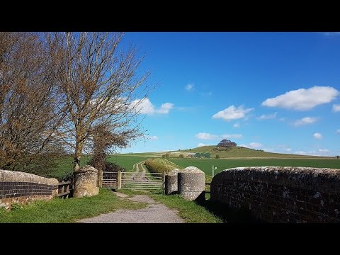
An Insider's Guide to Walking in the Vale of Pewsey, Wiltshire, England.
Using our local knowledge, enjoy some of the points of interest and diversions on our Woodborough Walk in the Vale of Pewsey, ...
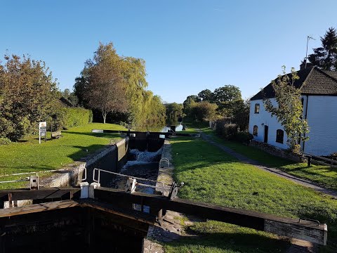
An Insider's Guide to Walking in the Vale of Pewsey, Wiltshire, England.
Using our local knowledge, enjoy some of the points of interest and diversions on our walks in the Vale of Pewsey, Wiltshire, ...
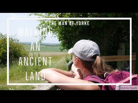
Walking an Ancient Land | Hiking & History | Adventure Ep.19 | HD Quality.
Me and Rachel did a hike through a remarkable landscape in the North Wessex Downs again. It was filled with archaeology and ...

Your guide to the Pewsey Vale Circular Way
The Pewsey Vale Circular Way - a long-distance walking, cycling and riding route with the Vale of Pewsey at its heart. In Wiltshire ...
Nearby Amenities
Located within 500m of 51.367213,-1.832691Have you been to Alton?
Leave your review of Alton below (or comments, questions and feedback).