Altham

Civil Parish in Lancashire Hyndburn

England

Altham

Empress Garage
Empress Garage Credit: Anthony Parkes

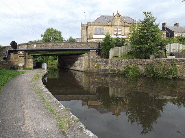
Altham is a civil parish located in the county of Lancashire, England. It is situated on the southern bank of the River Calder and is part of the borough of Hyndburn. The parish covers an area of approximately 2.2 square miles and has a population of around 1,800 people.

The village of Altham is known for its rich history, with evidence of human habitation dating back to the Neolithic period. The area has been influenced by various cultures, including the Romans and the Vikings, who left their mark through archaeological findings.

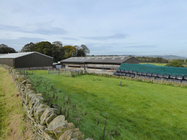
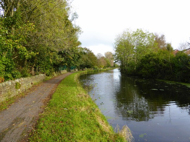
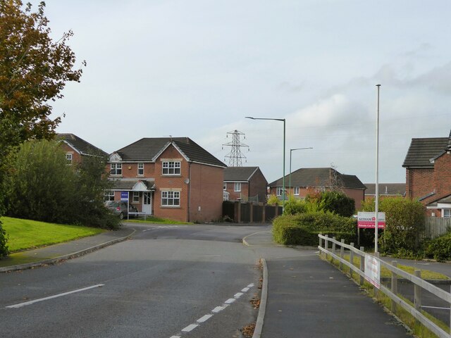
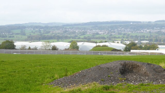
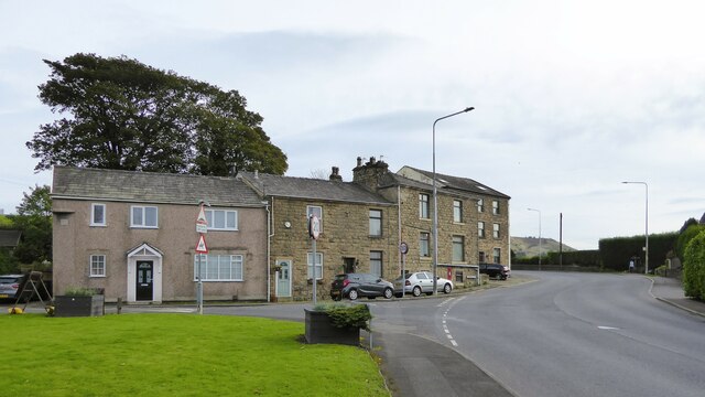
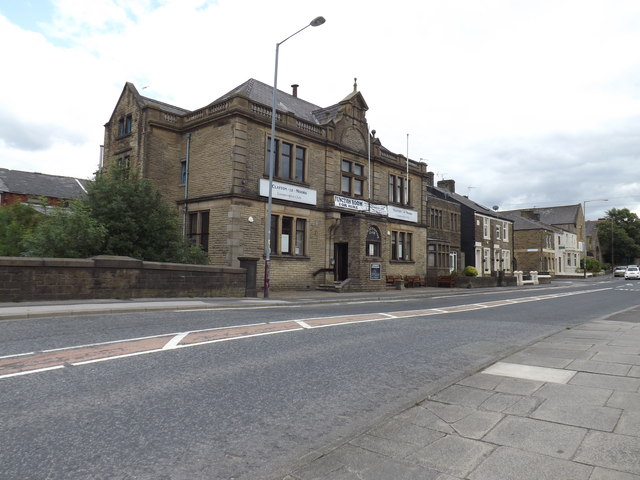
Altham is predominantly a rural area, characterized by beautiful countryside and farmlands. It is home to several farms and agricultural businesses, contributing to the local economy. The village itself is quaint and picturesque, with traditional stone-built houses and a charming village green.

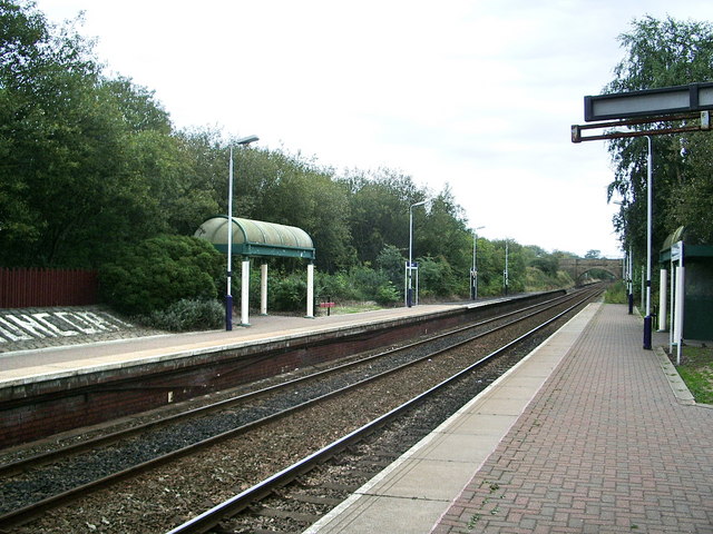
Despite its rural location, Altham benefits from good transport links. The M65 motorway runs adjacent to the parish, providing easy access to nearby towns and cities such as Blackburn, Burnley, and Preston. The village also has a railway station, offering connections to major cities like Manchester and Leeds.

In terms of amenities, Altham has a primary school, a village hall, and a few local shops. The parish also boasts several outdoor recreational spaces, including parks and nature reserves, which are popular among residents and visitors alike.

Overall, Altham is a peaceful and idyllic civil parish, offering a rural lifestyle while still being well-connected to urban centers. Its rich history and natural beauty make it a desirable place to live or visit.

If you have any feedback on the listing, please let us know in the comments section below.
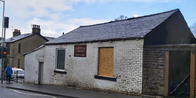
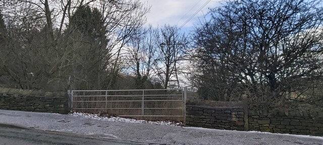
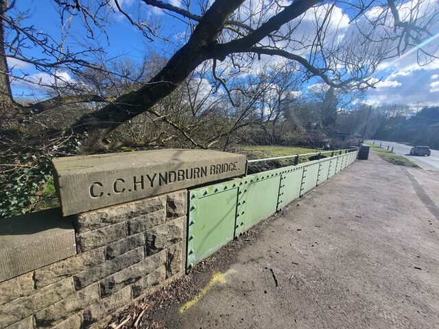
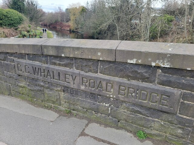
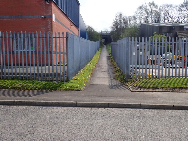
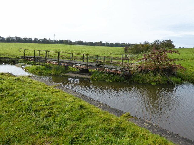
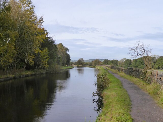
Altham Images

Images are sourced within 2km of 53.781042/-2.356284 or Grid Reference SD7631. Thanks to Geograph Open Source API. All images are credited.

Empress Garage
Empress Garage
Gated Track near Hyndburn Bridge
Old Bridge Marker on the A680 Whalley Road Bridge Marker inscribed in the capstone of the north pier of Hyndburn Bridge, Hyndburn Brook, on the east side of the A680 Whalley Road. On the boundary of Great Harwood and Clayton le Moors parishes until 1974 when both were abolished. REBUILT 1930 in inscribed on the capstone of the south pier on the east side of the road.

Milestone Society National ID: LA_GHACLM01br
Old Bridge Marker on the A680 Whalley Road
Bridge Marker inscribed in the capstone of the north pier of Hyndburn Bridge, Hyndburn Brook, on the east side of the A680 Whalley Road. On the boundary of Great Harwood and Clayton le Moors parishes until 1974 when both were abolished. REBUILT 1930 in inscribed on the capstone of the south pier on the east side of the road. Milestone Society National ID: LA_GHACLM01br
Old Bridge Marker on the A680 Whalley Road Bridge Marker inscribed on two stones in the parapet of Whalley Road Bridge, Leeds and Liverpool Canal, on the east side of the A680 Whalley Road. In Clayton le Moors parish until 1974 when it was abolished.

Milestone Society National ID: LA_CLAYLM01br
Old Bridge Marker on the A680 Whalley Road
Bridge Marker inscribed on two stones in the parapet of Whalley Road Bridge, Leeds and Liverpool Canal, on the east side of the A680 Whalley Road. In Clayton le Moors parish until 1974 when it was abolished. Milestone Society National ID: LA_CLAYLM01br
Footpath from Newhouse Road Entrance for the footpath leading from Newhouse Road on Huncoat Industrial estate.
Footpath from Newhouse Road
Entrance for the footpath leading from Newhouse Road on Huncoat Industrial estate.
Leeds & Liverpool Canal Approaching Altham Bridge that carries Altham Lane across the canal. The tree by the towpath ahead is in a small fenced enclosure that appears to contain a filled old mine shaft. Old OS maps do indicate an old mine in this area.
Leeds & Liverpool Canal
Approaching Altham Bridge that carries Altham Lane across the canal. The tree by the towpath ahead is in a small fenced enclosure that appears to contain a filled old mine shaft. Old OS maps do indicate an old mine in this area.
Derelict swing bridge No.116 On the Leeds and Liverpool Canal at Lower Clough Bank, this bridge referred to as Smiths swing bridge, needs at least a new deck.
Derelict swing bridge No.116
On the Leeds and Liverpool Canal at Lower Clough Bank, this bridge referred to as Smiths swing bridge, needs at least a new deck.
Livestock Barn At Moorside Farm with plenty of winter feed adjacent
Livestock Barn
At Moorside Farm with plenty of winter feed adjacent
Leeds and Liverpool Canal Just after passing Pilkington Canal Bridge. The towpath now has competition from an illuminated housing estate path that follows the other bank.
Leeds and Liverpool Canal
Just after passing Pilkington Canal Bridge. The towpath now has competition from an illuminated housing estate path that follows the other bank.
Leeds and Liverpool Canal The towpath is approaching some green security fencing that comes down to the canal from the local school.
Leeds and Liverpool Canal
The towpath is approaching some green security fencing that comes down to the canal from the local school.
Modern housing estate On Bold Venture Way near the boundary with Altham
Modern housing estate
On Bold Venture Way near the boundary with Altham
Groundworks at Altham Business Park There appears to be more ground cleared and fenced for possible further expansion of the business park along Altham Lane
Groundworks at Altham Business Park
There appears to be more ground cleared and fenced for possible further expansion of the business park along Altham Lane
Housing facing the Peace Garden At the junction of Burnley Road with Higher Gate and Lower Gate Road
Housing facing the Peace Garden
At the junction of Burnley Road with Higher Gate and Lower Gate Road
The Eric Whalley Stand at the Wham Stadium The Wham Stadium is home to Accrington Stanley.
The Eric Whalley Stand at the Wham Stadium
The Wham Stadium is home to Accrington Stanley.
The Coppice End at the Wham Stadium The Wham Stadium is home to Accrington Stanley.
The Coppice End at the Wham Stadium
The Wham Stadium is home to Accrington Stanley.
The Eric Whalley Stand at the Wham Stadium The Wham Stadium is home to Accrington Stanley.
The Eric Whalley Stand at the Wham Stadium
The Wham Stadium is home to Accrington Stanley.
Clayton-Le-Moors Conservative Club Adjacent to the Leeds and Liverpool canal.
Clayton-Le-Moors Conservative Club
Adjacent to the Leeds and Liverpool canal.
Bridge 114 Leeds and Liverpool Canal At Clayton-Le-Moors. The Conservative Club stands to the right.
Bridge 114 Leeds and Liverpool Canal
At Clayton-Le-Moors. The Conservative Club stands to the right.
Show me another place!

Altham is located at Grid Ref: SD7631 (Lat: 53.781042, Lng: -2.356284)

Administrative County: Lancashire

District: Hyndburn

Police Authority: Lancashire

What 3 Words

///fires.impose.gives. Near Clayton le Moors, Lancashire

Nearby Locations

Altham Altham Clough Wood

Related Wikis

A678 road

The A678 is a road in Lancashire, England, which runs between the towns of Blackburn and Padiham. The road was formerly the main route between Blackburn...

Altham, Lancashire

Altham is a village and civil parish in the Borough of Hyndburn, in Lancashire, England. The village is 4 miles (6.4 km) west of Burnley, 3 miles (4...

Huncoat railway station

Huncoat railway station is a railway station which serves the village of Huncoat, between Accrington and Burnley in Lancashire, England. The station is...

Accrington brick

Accrington bricks, or Nori, are a type of iron-hard engineering brick, produced in Altham near Accrington, Lancashire, England from 1887 to 2008 and again...

Nearby Amenities

Located within 500m of 53.781042,-2.356284
Historic: mine_shaft
Mineral: coal
Source: OS 1:25k
Lat/Long: 53.7833138/-2.3524727
The data included in this document is from www.openstreetmap.org. The data is made available under ODbL.

Have you been to Altham?

Leave your review of Altham below (or comments, questions and feedback).