Alnmouth

Civil Parish in Northumberland

England

Alnmouth

Birling, Northumberland The coast line at Birling Carrs, Birling.
Birling, Northumberland Credit: Rebecca A Wills

Alnmouth is a small coastal village and civil parish located in Northumberland, England. Situated on the North Sea coast, it lies at the mouth of the River Aln, from which it derives its name. The village is approximately 4 miles southeast of the town of Alnwick.

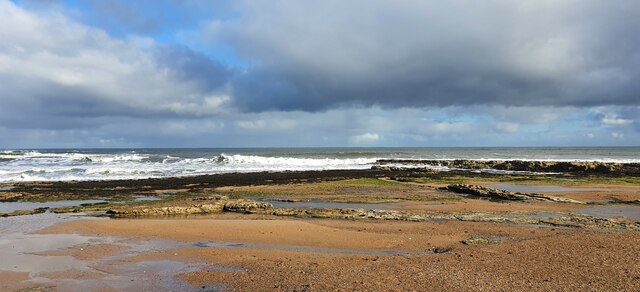
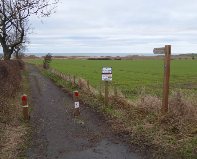
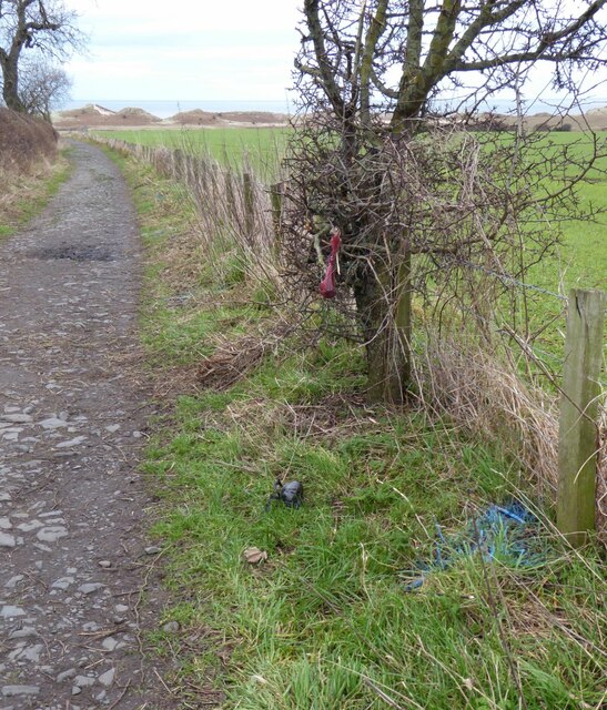
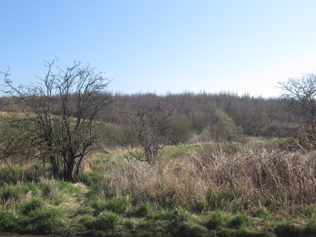
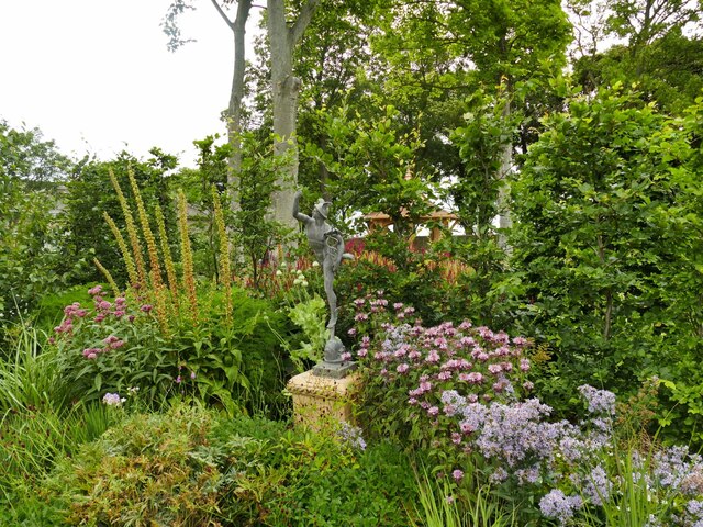
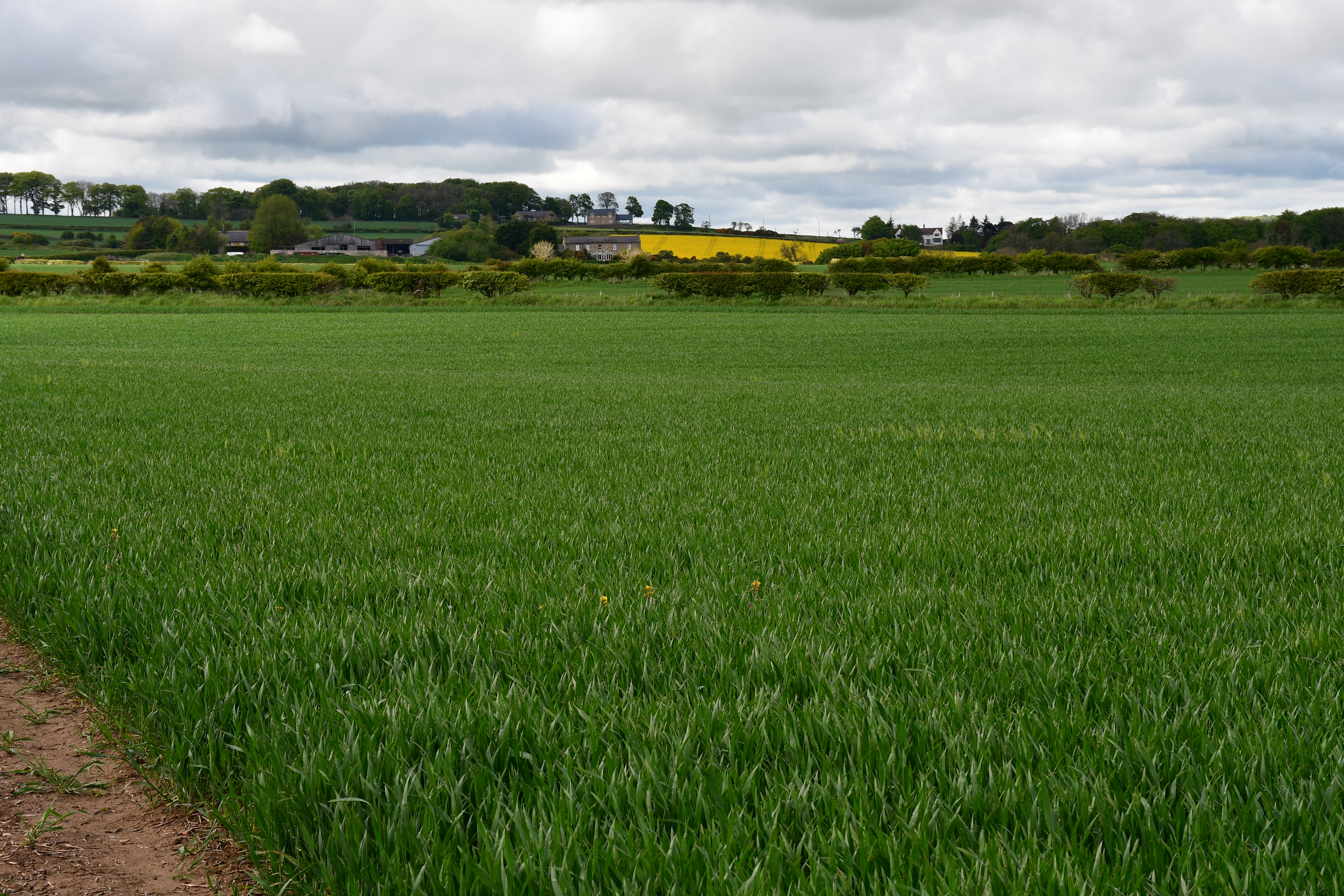
Alnmouth is known for its picturesque and unspoiled beauty, making it a popular destination for tourists and locals alike. The village boasts a long sandy beach, dunes, and stunning views of the Northumberland coastline. The beach is a designated Area of Outstanding Natural Beauty and provides opportunities for various outdoor activities such as walking, birdwatching, and water sports.

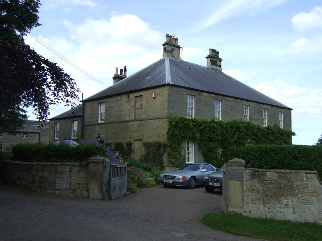
The village itself is charming and retains much of its historic character. It features a mixture of traditional stone-built houses, pubs, and small shops. The village center is dotted with attractive gardens and well-maintained green spaces. Alnmouth also has a golf course, which is highly regarded for its challenging layout and scenic surroundings.

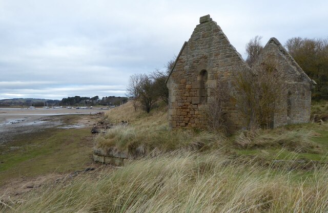
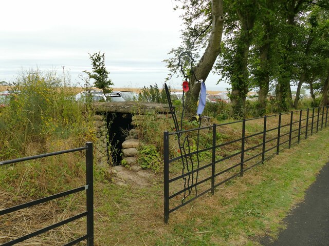
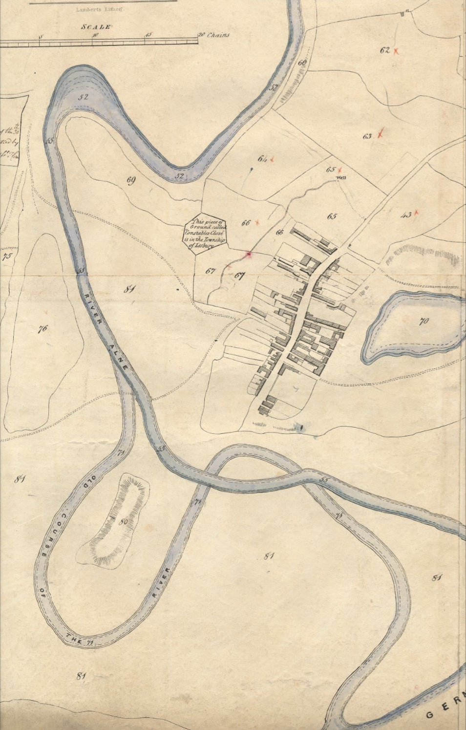
The area has a rich history, with evidence of human settlement dating back to prehistoric times. Alnmouth was once an important port during medieval times, serving as a trading hub for the region. Today, remnants of its maritime past can still be seen in the form of historic buildings and structures.

In summary, Alnmouth is a charming coastal village in Northumberland, offering a combination of natural beauty, outdoor activities, and historical significance. Its idyllic setting and welcoming atmosphere make it a delightful place to visit or call home.

If you have any feedback on the listing, please let us know in the comments section below.

Alnmouth Images

Images are sourced within 2km of 55.373448/-1.626733 or Grid Reference NU2308. Thanks to Geograph Open Source API. All images are credited.

Birling, Northumberland The coast line at Birling Carrs, Birling.
Birling, Northumberland
The coast line at Birling Carrs, Birling.
No Vehicular Access For many years we have driven slowly down this very bumpy road giving access to the coast south of the River Aln.  Today it is blocked!
No Vehicular Access
For many years we have driven slowly down this very bumpy road giving access to the coast south of the River Aln. Today it is blocked!
Ruined Mortuary Chapel Built 1869-70 at a cost of 177.6s.3d. raised by public subscription, as part of a plan to re-open the cemetery on Church Hill (site of the ancient parish church of St. Waleric, the remains of which were destroyed by the 1806 flood). 
The boats on the left are in Alnmouth Harbour.
The Christmas Day Storm of 1806 caused the river to cut through the low ground to the north of Church Hill, destroying part of the village in the process. The remains of the southern loop, where the camera is sited, then silted up, leaving the river to follow the course it does today, which cuts Church Hill off from the village.
Ruined Mortuary Chapel
Built 1869-70 at a cost of 177.6s.3d. raised by public subscription, as part of a plan to re-open the cemetery on Church Hill (site of the ancient parish church of St. Waleric, the remains of which were destroyed by the 1806 flood). The boats on the left are in Alnmouth Harbour. The Christmas Day Storm of 1806 caused the river to cut through the low ground to the north of Church Hill, destroying part of the village in the process. The remains of the southern loop, where the camera is sited, then silted up, leaving the river to follow the course it does today, which cuts Church Hill off from the village.
Track leading from A1068 to the beach Someone, perhaps the person who has put up the 'No dog fouling' signs, has sprayed the 'unpleasant droppings' with blue paint.
There are scores of them all the way down.  Horrible!  It spoils a pleasant walk.
Track leading from A1068 to the beach
Someone, perhaps the person who has put up the 'No dog fouling' signs, has sprayed the 'unpleasant droppings' with blue paint. There are scores of them all the way down. Horrible! It spoils a pleasant walk.
Dog fouling Someone has blue-painted the dog foulings.  In response the 'foulers' have hung their 'collections' on the tree and thrown the 'collection bag' on the grass.
How inconsiderate can you get?  Who is supposed to clear up the mess?
See also <a title="https://www.geograph.org.uk/photo/7078832" href="https://www.geograph.org.uk/photo/7078832">Link</a>
Dog fouling
Someone has blue-painted the dog foulings. In response the 'foulers' have hung their 'collections' on the tree and thrown the 'collection bag' on the grass. How inconsiderate can you get? Who is supposed to clear up the mess? See also Link
Woodland near Shilbottle A young plantation.
Woodland near Shilbottle
A young plantation.
Crop field near Warkworth Oilseed rape after the yellow flowers, nearly ready for harvest.
Crop field near Warkworth
Oilseed rape after the yellow flowers, nearly ready for harvest.
Parking for the open day at Shortridge Hall A strip of crop had been removed to make way for parking. Fortunately for drivers the ground was very dry.
Parking for the open day at Shortridge Hall
A strip of crop had been removed to make way for parking. Fortunately for drivers the ground was very dry.
Former pill box near Shortridge Hall Apparently it was feared in the Second World War that enemy troops might land on Northumberland's beaches and push inland. This 'beehive' pillbox is located adjacent to a country road about 1km from the sea. Google Streetview shows that until very recently it was covered in vegetation and therefore not visible unless you were looking for it. The new owners of Shortridge Hall have opened it up and added a 'silent soldier' figure on the new fence alongside the road.
Former pill box near Shortridge Hall
Apparently it was feared in the Second World War that enemy troops might land on Northumberland's beaches and push inland. This 'beehive' pillbox is located adjacent to a country road about 1km from the sea. Google Streetview shows that until very recently it was covered in vegetation and therefore not visible unless you were looking for it. The new owners of Shortridge Hall have opened it up and added a 'silent soldier' figure on the new fence alongside the road.
Inside a former pill box near Shortridge Hall See <a href="https://www.geograph.org.uk/photo/7238604">NU2407 : Former pill box near Shortridge Hall</a> for the outside.
Inside a former pill box near Shortridge Hall
New yew hedge Shortridge Hall When mature, these yew trees will form a substantial hedge along a curved line across the garden.
New yew hedge Shortridge Hall
When mature, these yew trees will form a substantial hedge along a curved line across the garden.
Wildflower garden at Shortridge Hall This garden has been completely reimagined in the last few years under new owners, so the flowers are clearly sown to make a wildflower area, rather than being a natural meadow.
Wildflower garden at Shortridge Hall
This garden has been completely reimagined in the last few years under new owners, so the flowers are clearly sown to make a wildflower area, rather than being a natural meadow.
Shelter at Shortridge Hall A wooden framed shelter with copper roof.
Shelter at Shortridge Hall
A wooden framed shelter with copper roof.
North side of Shortridge Hall The hall dates from 1898 - see shared description.
North side of Shortridge Hall
The hall dates from 1898 - see shared description.
Stag sculpture at Shortridge Hall One of several metal sculptures of animal figures around the garden.
Stag sculpture at Shortridge Hall
One of several metal sculptures of animal figures around the garden.
Swan pond at Shortridge Hall One of several metal sculptures of animal figures around the garden including this pair of swans. The exact location is approximate as this pond is part of a recent redevelopment of the garden under new owners, so it does not appear on even the largest scale maps yet.
Swan pond at Shortridge Hall
One of several metal sculptures of animal figures around the garden including this pair of swans. The exact location is approximate as this pond is part of a recent redevelopment of the garden under new owners, so it does not appear on even the largest scale maps yet.
Deer family at Shortridge Hall Among several metal sculptures of animal figures around the garden. The exact location is approximate.
Deer family at Shortridge Hall
Among several metal sculptures of animal figures around the garden. The exact location is approximate.
Mercury sculpture at Shortridge Hall Among several metal sculptures of animal figures around the garden, although this looks like an antique rather than newly cast like the others. The exact location is approximate.
Mercury sculpture at Shortridge Hall
Among several metal sculptures of animal figures around the garden, although this looks like an antique rather than newly cast like the others. The exact location is approximate.
Show me another place!

Alnmouth is located at Grid Ref: NU2308 (Lat: 55.373448, Lng: -1.626733)

Unitary Authority: Northumberland

Police Authority: Northumbria

What 3 Words

///hack.scatter.shape. Near Warkworth, Northumberland

Related Wikis

High Buston

High Buston is a small hamlet and former civil parish, now in the parish of Alnmouth, in Northumberland, England, on Northumberland coast situated between...

Alnmouth Saltmarsh and Dunes

Alnmouth Saltmarsh and Dunes is a Site of Special Scientific Interest (SSSI) in Northumberland, England. It is the largest saltflat on the north-east coast...

River Aln

The River Aln () runs through the county of Northumberland in England. It rises in Alnham in the Cheviot Hills and discharges into the North Sea at Alnmouth...
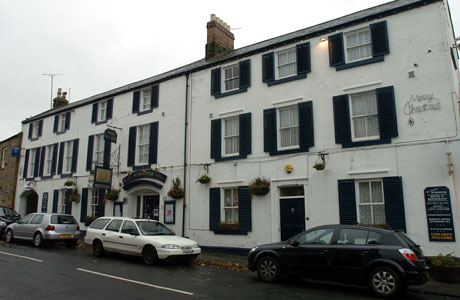
Schooner Hotel

The Schooner Hotel & Bar is a Grade II listed 17th century coaching inn and hotel located at 8 Northumberland Street in the coastal village of Alnmouth...

Alnmouth

Alnmouth () is a coastal village in Northumberland, England, situated 4 miles (6 km) east-south-east of Alnwick. The population of the civil parish at...

St John the Baptist Parish Church, Alnmouth

St John the Baptist Parish Church is an Anglican place of worship situated in the village of Alnmouth in Northumberland, England. It is the parish church...

Bilton, Northumberland

Bilton is a hamlet in the civil parish of Lesbury, Northumberland, in England. It is situated near the River Aln, a short distance inland from the North...

Warkworth railway station

Warkworth railway station served the village of Warkworth, Northumberland, England, from 1847 to 1962 on the East Coast Main Line. == History == The station...

Nearby Amenities

Located within 500m of 55.373448,-1.626733
Lane House
Place: locality
Lat/Long: 55.3733113/-1.6250481
Power: pole
Source: Bing
Lat/Long: 55.3733382/-1.6297419
Power: pole
Source: Bing
Lat/Long: 55.3714282/-1.6310417
Power: pole
Source: Bing
Lat/Long: 55.3778255/-1.6267275
Power: pole
Source: Bing
Lat/Long: 55.3759284/-1.6279972
Power: pole
Source: Bing
Lat/Long: 55.3708101/-1.6314623
Power: pole
Source: Bing
Lat/Long: 55.3727137/-1.6301701
Power: pole
Source: Bing
Lat/Long: 55.3753254/-1.6284139
Power: pole
Source: Bing
Lat/Long: 55.3770903/-1.6272315
Power: pole
Source: Bing
Lat/Long: 55.3741069/-1.6292871
Power: pole
Source: Bing
Lat/Long: 55.3720763/-1.6306021
Power: pole
Source: Bing
Lat/Long: 55.3747141/-1.6288404
Power: pole
Source: Bing
Lat/Long: 55.3765396/-1.6275901
Power: pole
Lat/Long: 55.3711015/-1.6330576
Railway Electricity: joint
Lat/Long: 55.3745418/-1.6227993
Railway Electricity: joint
Lat/Long: 55.374533/-1.6228586
The data included in this document is from www.openstreetmap.org. The data is made available under ODbL.

Have you been to Alnmouth?

Leave your review of Alnmouth below (or comments, questions and feedback).