Almeley
Civil Parish in Herefordshire
England
Almeley
Almeley is a civil parish located in the county of Herefordshire, England. Situated approximately 15 miles northwest of Hereford, the parish covers an area of around 7 square miles and is home to a population of approximately 600 people.
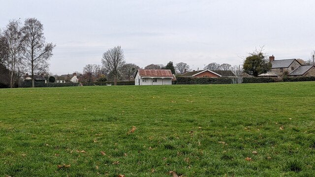
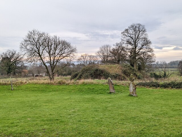
The village of Almeley itself is small and rural, with a charming and picturesque setting. It is surrounded by beautiful countryside and rolling hills, making it a popular destination for nature lovers and outdoor enthusiasts. The parish is predominantly agricultural, with farming being the primary economic activity.
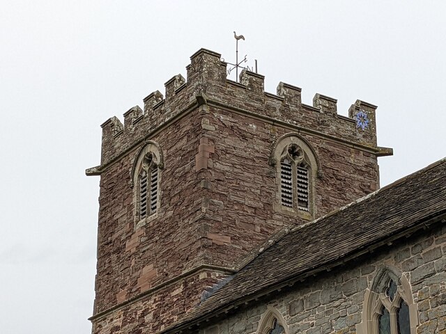
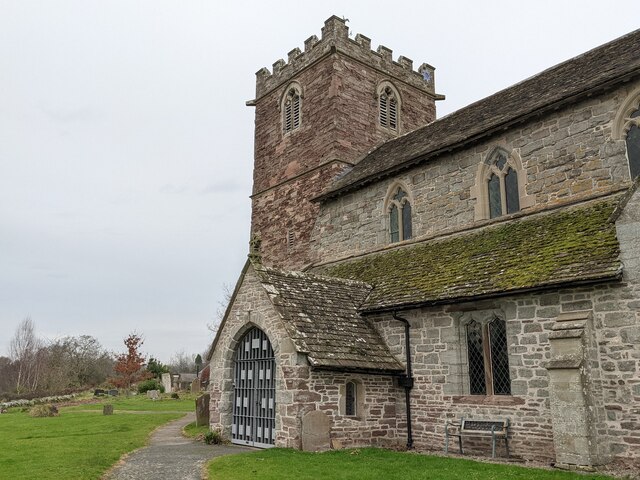
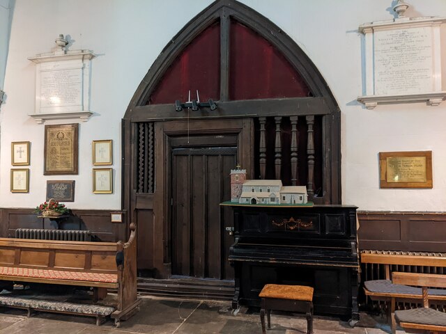
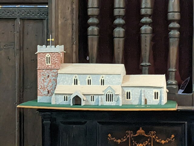
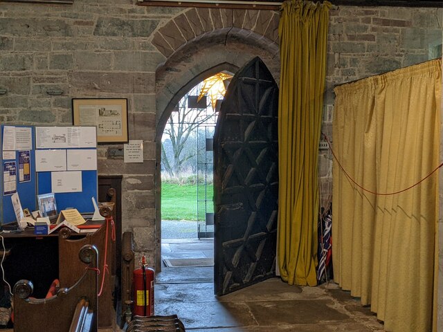
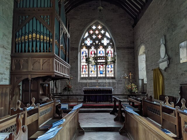
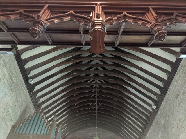
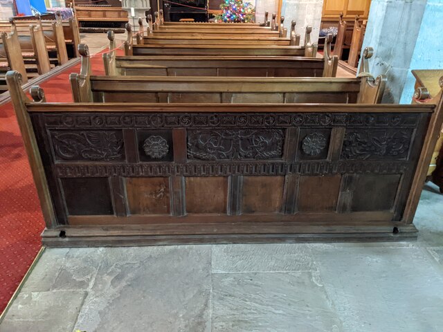
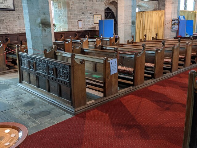
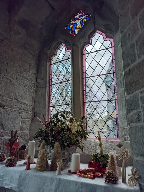
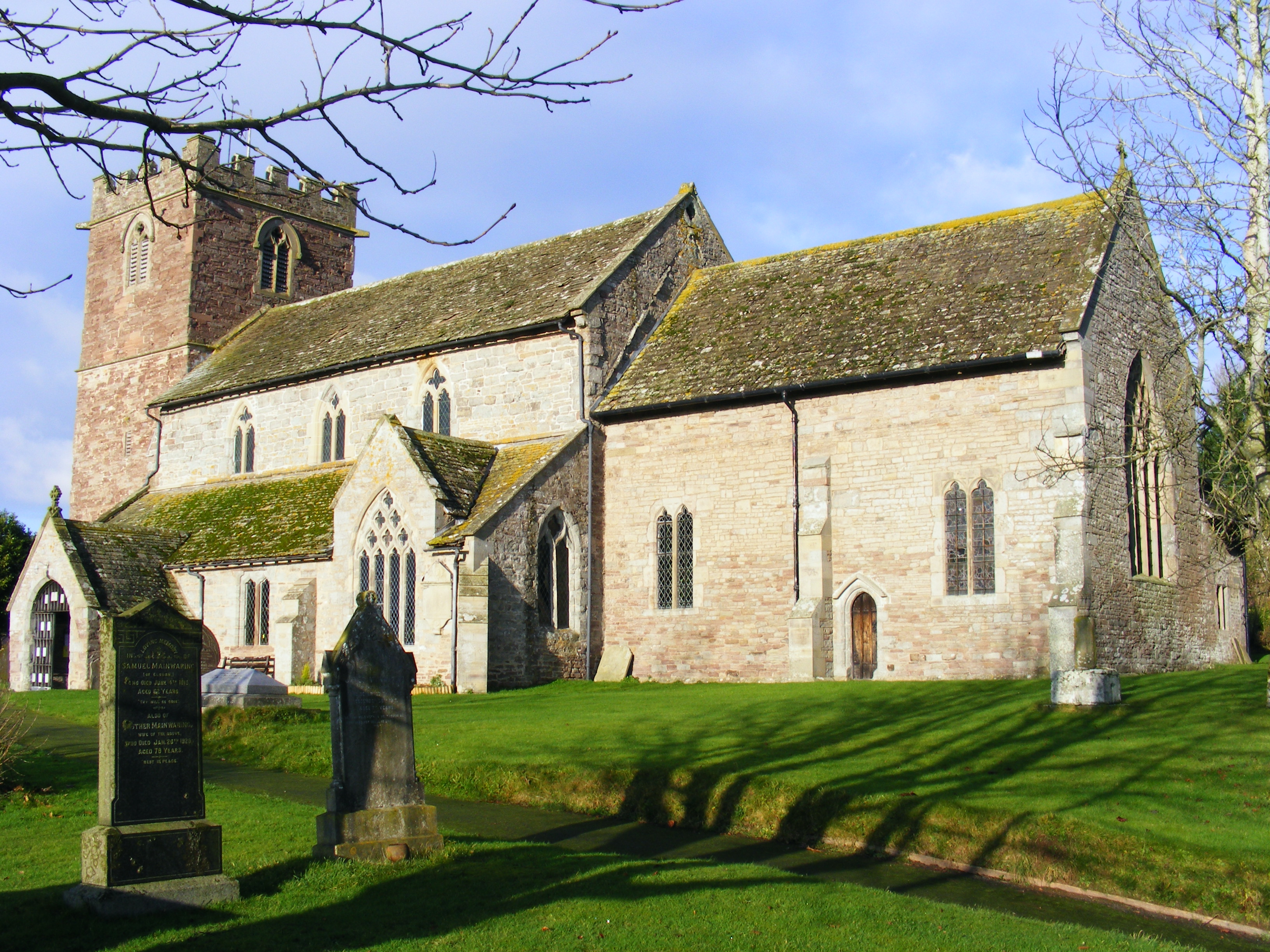
Almeley boasts a rich history, with evidence of human settlement dating back to the Iron Age. The parish is home to several historic buildings, including St Mary's Church, which dates back to the 12th century and is a Grade I listed building. The church features a unique Norman tower and is known for its beautiful stained glass windows.
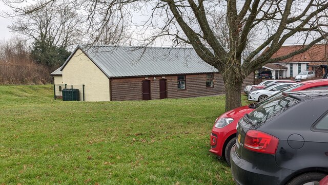
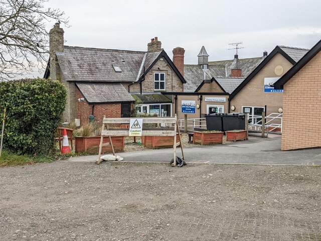
Despite its small size, Almeley has a close-knit community and offers a range of amenities for its residents. These include a primary school, village hall, and a local pub. The parish also hosts various community events throughout the year, including a popular summer fete.
Overall, Almeley is a charming and idyllic village in the heart of Herefordshire. With its rich history, beautiful scenery, and strong sense of community, it is a delightful place to live or visit for those seeking a tranquil and rural setting.
If you have any feedback on the listing, please let us know in the comments section below.
Almeley Images
Images are sourced within 2km of 52.161601/-2.973743 or Grid Reference SO3351. Thanks to Geograph Open Source API. All images are credited.


Almeley is located at Grid Ref: SO3351 (Lat: 52.161601, Lng: -2.973743)
Unitary Authority: County of Herefordshire
Police Authority: West Mercia
What 3 Words
///winter.waltzed.fairly. Near Kinnersley, Herefordshire
Related Wikis
Almeley
Almeley (pronounced ) is a village and civil parish in Herefordshire, England. The civil parish includes the hamlets of Almeley Wooton and Upcott. The...
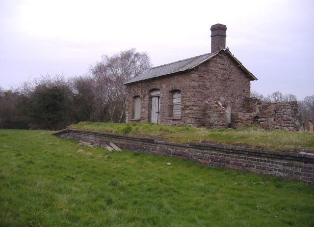
Almeley railway station
Almeley railway station was a railway station on the line from Kington to Eardisley in the English county of Herefordshire. == History == Opened on the...

Woonton
Woonton is a hamlet which forms part of the parish of Almeley in Herefordshire, England. It is on the A480 road and is near the town of Kington.

Kinnersley
Kinnersley is a village and civil parish in Herefordshire, England. The village is about 5 miles (8 km) east of the Wales-England border and 10 miles...

Church of St James, Kinnersley
The Church of St James is a Church of England parish church at Kinnersley in the English county of Herefordshire. It is a Grade I listed building. ��2...
Kinnersley Castle
Kinnersley Castle in Herefordshire, England, is one of the many marches castles along the Welsh Borders. The Castle of Kinnersley, on the A4112 3 km (1...
Holme Marsh
Holme Marsh (Originally Holmes) is a village in Herefordshire, England on the A480 road. It is near the Welsh border and the small town of Kington. A...

Kinnersley railway station
Kinnersley railway station was a station in Kinnersley, Herefordshire, England. The station was opened in 1863 and closed in 1962. The station was located...
Related Videos

Rock Cottage, Kinnersley, Property Tour
Detached cottage with circa 1/3 of an acre.
Nearby Amenities
Located within 500m of 52.161601,-2.973743Have you been to Almeley?
Leave your review of Almeley below (or comments, questions and feedback).