Allhallows

Civil Parish in Cumberland Allerdale

England

Allhallows

Direction Sign – Signpost near Flethchertown Located on the southwest side of the crossroads in Fletchertown. Allhallows parish. 4 modern arms and annulus finial.

Milestone Society National ID: CU_NY2042
Direction Sign – Signpost near Flethchertown Credit: B Todd

Allhallows is a civil parish located in the county of Cumberland, in the northwest region of England. It is situated in the picturesque countryside, surrounded by rolling hills and quaint villages. The parish covers an area of approximately 10 square miles and has a population of around 500 residents.

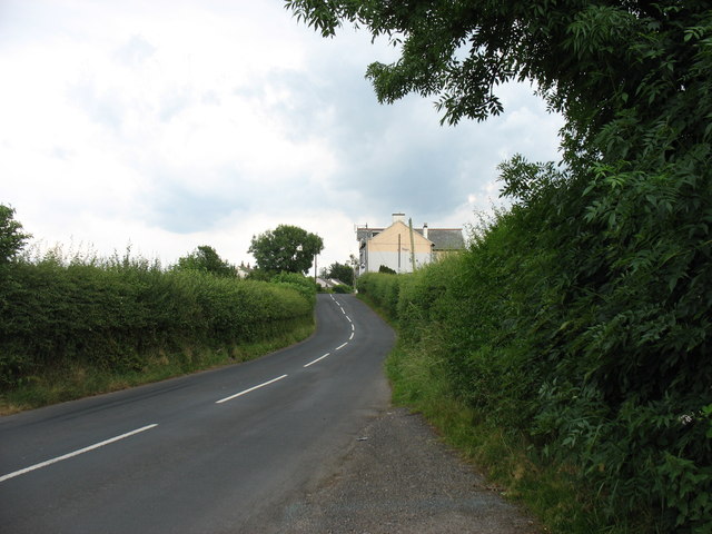
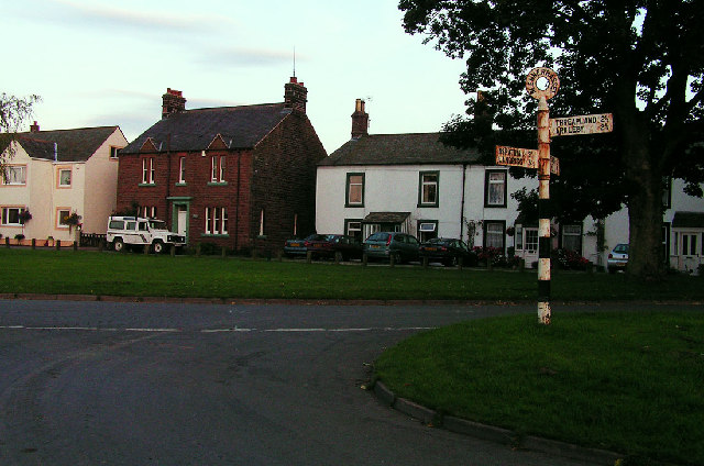
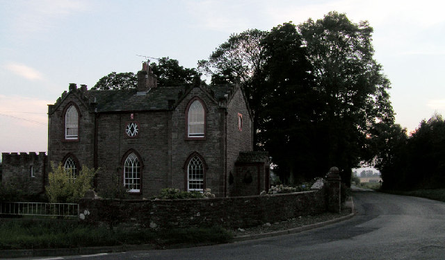
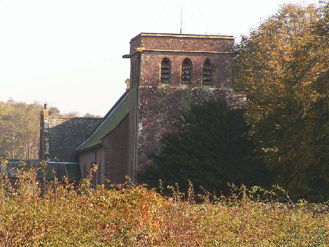
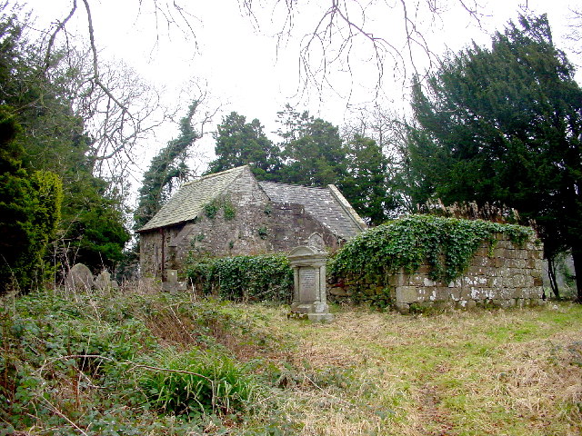
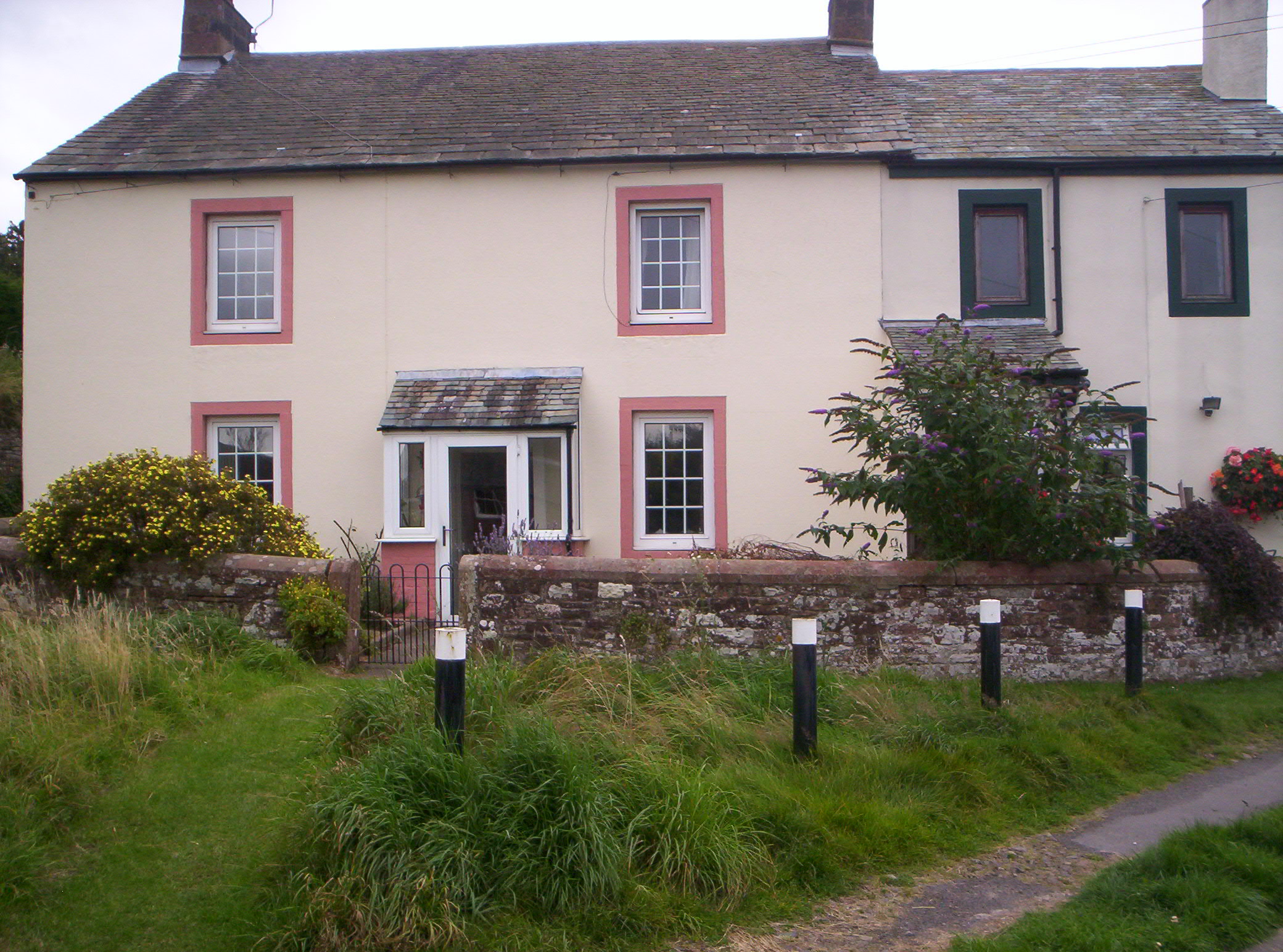
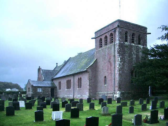
The village of Allhallows is the main settlement within the parish, and it is known for its charming, traditional architecture. The village features a mix of old stone houses, thatched cottages, and a historic church, which dates back to the 12th century. The church is dedicated to All Hallows and is a prominent landmark within the area.

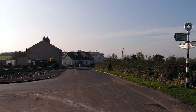
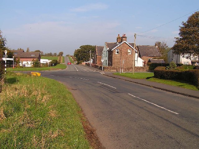
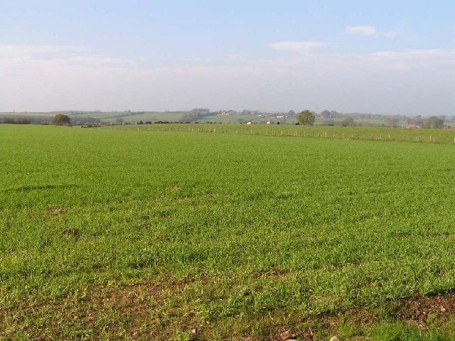
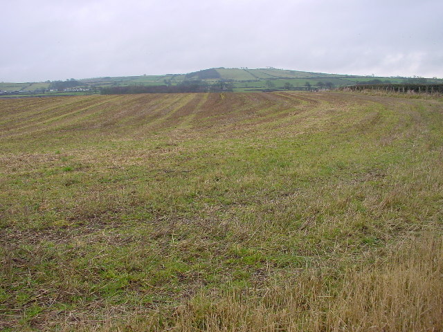
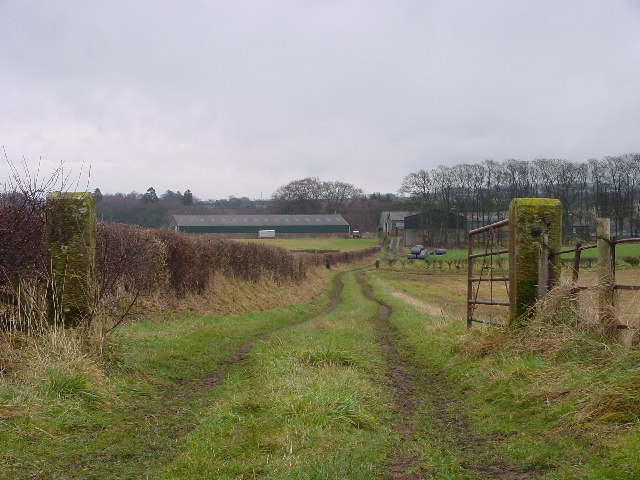
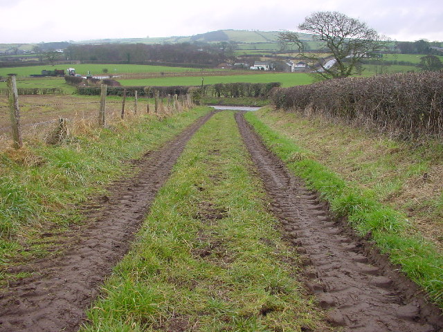
The parish is predominantly rural, with a landscape dominated by farmland and open fields. Agriculture plays a significant role in the local economy, with many residents engaged in farming activities. The fertile soil and favorable climate make it suitable for various crops and livestock farming.

Allhallows is known for its close-knit community, where residents actively participate in local events and organizations. The parish organizes regular social gatherings, including fairs, festivals, and sports tournaments, which help foster a sense of community spirit.

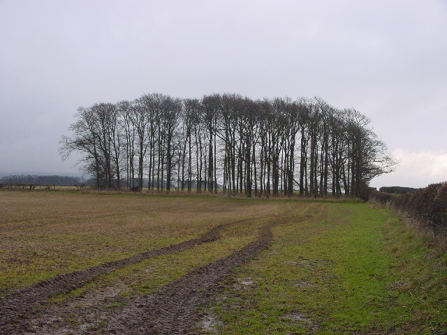
Nature lovers and outdoor enthusiasts are drawn to Allhallows due to its stunning natural beauty. The surrounding countryside offers numerous opportunities for walking, hiking, and exploring the countryside. Additionally, the parish is located near the Lake District National Park, providing further recreational opportunities for visitors and residents alike.

Overall, Allhallows, Cumberland, is a picturesque and peaceful civil parish with a strong sense of community and a rich natural environment.

If you have any feedback on the listing, please let us know in the comments section below.
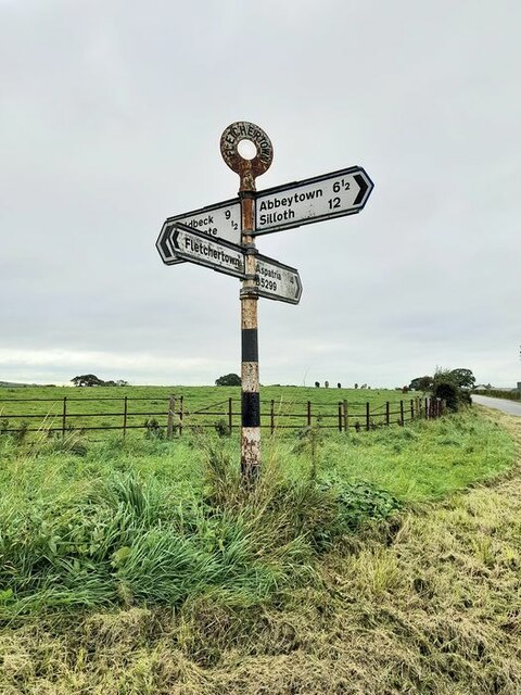
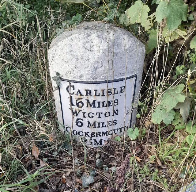
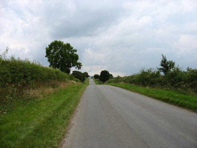
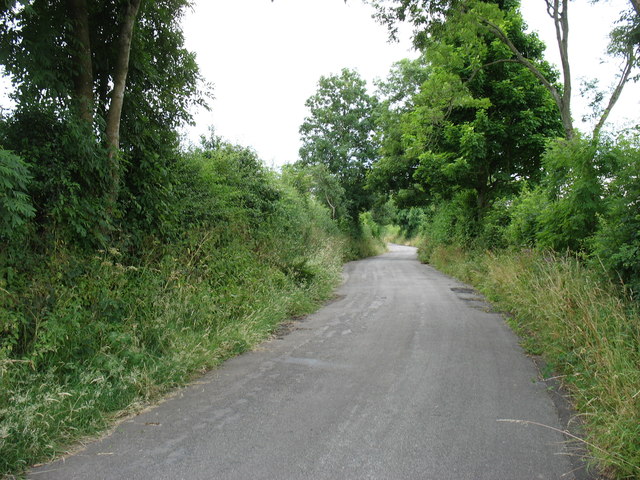
Allhallows Images

Images are sourced within 2km of 54.770674/-3.259873 or Grid Reference NY1942. Thanks to Geograph Open Source API. All images are credited.

Direction Sign – Signpost near Flethchertown Located on the southwest side of the crossroads in Fletchertown. Allhallows parish. 4 modern arms and annulus finial.

Milestone Society National ID: CU_NY2042
Direction Sign – Signpost near Flethchertown
Located on the southwest side of the crossroads in Fletchertown. Allhallows parish. 4 modern arms and annulus finial. Milestone Society National ID: CU_NY2042
Old Milestone by the A595, east of Aldersceugh Metal plate attached to stone post by the A595, in parish of BOLTONS (ALLERDALE District), Aldersceugh, 100m West of Coach House Restaurant, in shrub, on North side of road. Carlisle red stone and curved plate, erected by the Cockermouth & Carlisle turnpike trust in the 19th century. 

Inscription reads:-
CARLISLE
16 MILES
WIGTON
6 MILES
COCKERMOUTH
9½ MILES 
Carved benchmark.

Grade II Listed. List Entry Number: 1312188

<span class="nowrap"><a title="https://historicengland.org.uk/listing/the-list/list-entry/1312188" rel="nofollow ugc noopener" href="https://historicengland.org.uk/listing/the-list/list-entry/1312188">Link</a><img style="margin-left:2px;" alt="External link" title="External link - shift click to open in new window" src="https://s1.geograph.org.uk/img/external.png" width="10" height="10"/></span>

Milestone Society National ID: CU_CLCM16.
Old Milestone by the A595, east of Aldersceugh
Metal plate attached to stone post by the A595, in parish of BOLTONS (ALLERDALE District), Aldersceugh, 100m West of Coach House Restaurant, in shrub, on North side of road. Carlisle red stone and curved plate, erected by the Cockermouth & Carlisle turnpike trust in the 19th century. Inscription reads:- CARLISLE 16 MILES WIGTON 6 MILES COCKERMOUTH 9½ MILES Carved benchmark. Grade II Listed. List Entry Number: 1312188 LinkExternal link Milestone Society National ID: CU_CLCM16.
The road to Fletchertown
The old A595 near Mealgate The main road has been realigned to the south-east (left).
The old A595 near Mealgate
The main road has been realigned to the south-east (left).
The B5299 through Fletchertown
Sign Posts at Low Woodnook A595 Junction of the A595 with the Blennerhasset turnoff (un named).
Sign Posts at Low Woodnook A595
Junction of the A595 with the Blennerhasset turnoff (un named).
A595 junction at Low Woodnock Looking in the direction of the West Coast (Whitehaven, Cockermouth etc).
A595 junction at Low Woodnock
Looking in the direction of the West Coast (Whitehaven, Cockermouth etc).
Blennerhasset, Village Green Blennerhasset translates roughly as 'hay field on the summit' with the first half of the name having a Celtic origin and the latter part Scandinavian.
Blennerhasset, Village Green
Blennerhasset translates roughly as 'hay field on the summit' with the first half of the name having a Celtic origin and the latter part Scandinavian.
Cockgate, near Blennerhasset A rather imposing house at the junction of two relatively minor roads between Blennerhasset and Aspatria.
Cockgate, near Blennerhasset
A rather imposing house at the junction of two relatively minor roads between Blennerhasset and Aspatria.
Watchhill, nr Aspatria The B5299 turns sharply right at Watchhill between Aspatria on the A596 and Mealsgate on the A595
Watchhill, nr Aspatria
The B5299 turns sharply right at Watchhill between Aspatria on the A596 and Mealsgate on the A595
Allhallows Church, Fletchertown Tucked away amongst trees and some distance from the village itself, Allhallows at Fletchertown exhibits a wide variety of flowers and shrubs in its churchyard.
Allhallows Church, Fletchertown
Tucked away amongst trees and some distance from the village itself, Allhallows at Fletchertown exhibits a wide variety of flowers and shrubs in its churchyard.
Crossroads, Fletchertown. Fletchertown is poorly served by public transport and physically isolated - typical of many of the very rural ex-mining villages in the area. The white signs to the left of the photo are at the entrance to a small business park, set up to address such issues.
Crossroads, Fletchertown.
Fletchertown is poorly served by public transport and physically isolated - typical of many of the very rural ex-mining villages in the area. The white signs to the left of the photo are at the entrance to a small business park, set up to address such issues.
View across open country towards Crookdake About as rural as you will get.
View across open country towards Crookdake
About as rural as you will get.
Stubble Field Near Blennerhasset
Stubble Field
Near Blennerhasset
Copse in Farmland Just about the only feature here that is not open farmland.
Copse in Farmland
Just about the only feature here that is not open farmland.
Track to Harbybrow A public footpath.
Track to Harbybrow
A public footpath.
Footpath from Harbybrow
Old Church Mealsgate Accessible only by footpath, this old church and graveyard are rather spooky.
Old Church Mealsgate
Accessible only by footpath, this old church and graveyard are rather spooky.
Show me another place!

Allhallows is located at Grid Ref: NY1942 (Lat: 54.770674, Lng: -3.259873)

Administrative County: Cumbria

District: Allerdale

Police Authority: Cumbria

What 3 Words

///pythons.landmark.monkey. Near Aspatria, Cumbria

Nearby Locations

Allhallows

Related Wikis

Watchhill

Watchhill is a hamlet in the parish of Allhallows, Cumbria, England. The parish had 538 recorded residents in the 2001 census. Watchhill is sited near...

Allhallows, Cumbria

Allhallows is a civil parish in Cumbria, England. It has a population of 548 (2001 census), reducing slightly to 546 at the 2011 Census. The parish includes...

Harbybrow

Harbybrow is a small settlement in the parish of Allhallows, Cumbria, England. Consisting of two inhabited dwellings - the old manor house and nearby mill...

Allhallows Colliery railway station

Allhallows Colliery railway station was in the former county of Cumberland, now Cumbria, England. It was a stop on the Bolton Loop (sometimes referred...

Baggrow railway station

Baggrow railway station was in the former county of Cumberland, now Cumbria, England. It was a stop on the Bolton Loop (sometimes referred to as the "Mealsgate...

Mealsgate railway station

Mealsgate railway station was in the former county of Cumberland, now Cumbria, England. It was a stop on the Bolton Loop (sometimes referred to as the...

Fletchertown

Fletchertown is a small village in the Allerdale borough of Cumbria, England. It was historically within Cumberland. The village was originally built to...

Mealsgate

Mealsgate is a village in Cumbria, England, historically within Cumberland. == Location == Mealsgate grid reference NY208421 is situated on the old Roman...

Nearby Amenities

Located within 500m of 54.770674,-3.259873
Bus Stop
Willow Garth (W bound)
Bench: no
Covered: no
Naptan AtcoCode: 090002022886
Naptan Bearing: W
Naptan CommonName: Willow Garth (W bound)
Naptan Indicator: o/s
Naptan Landmark: Willow Garth
Naptan NaptanCode: cumdmtma
Naptan Street: B5299
Naptan Verified: no
Shelter: no
Source: naptan_import
Lat/Long: 54.772768/-3.265863
Willow Garth (E bound)
Naptan AtcoCode: 090002023253
Naptan Bearing: E
Naptan BusStopType: CUS
Naptan CommonName: Willow Garth (E bound)
Naptan Indicator: opp
Naptan Landmark: Willow Garth
Naptan NaptanCode: cumdmtmg
Naptan Street: B5299
Naptan Verified: no
Source: naptan_import
Lat/Long: 54.7729709/-3.2657719
Post Box
Ref: CA7 216
Lat/Long: 54.7728313/-3.2656612
Watchhill
Place: hamlet
Wikidata: Q7973131
Wikipedia: en:Watchhill
Lat/Long: 54.7731332/-3.2640383
Watch Hill
Place: locality
Lat/Long: 54.7709575/-3.2649053
Upmanby
Place: locality
Lat/Long: 54.7687027/-3.2602664
Power: pole
Lat/Long: 54.7702548/-3.2531067
Power: pole
Lat/Long: 54.7703907/-3.254969
Power: pole
Lat/Long: 54.7707722/-3.2560892
Power: pole
Lat/Long: 54.7712718/-3.2575629
Power: pole
Lat/Long: 54.7717451/-3.2589912
Power: pole
Lat/Long: 54.7722256/-3.2604111
Power: pole
Lat/Long: 54.7726787/-3.2617195
Power: pole
Lat/Long: 54.7706161/-3.2583215
Power: pole
Lat/Long: 54.7698423/-3.259233
Power: pole
Lat/Long: 54.7691352/-3.2600556
The data included in this document is from www.openstreetmap.org. The data is made available under ODbL.

Have you been to Allhallows?

Leave your review of Allhallows below (or comments, questions and feedback).