Alderton
Civil Parish in Suffolk East Suffolk
England
Alderton
Alderton is a civil parish located in the county of Suffolk, in the eastern part of England. It lies approximately 6 miles east of the town of Woodbridge and about 12 miles northeast of the city of Ipswich. The parish covers an area of about 4 square miles and is situated in a predominantly rural landscape.
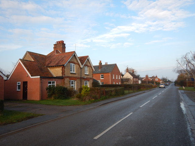
The village of Alderton itself is a small and charming settlement with a population of around 300 people. It is characterized by its picturesque countryside views, with rolling hills and open fields surrounding the village. The parish is known for its tranquil and idyllic atmosphere, making it an attractive location for those seeking a peaceful rural lifestyle.
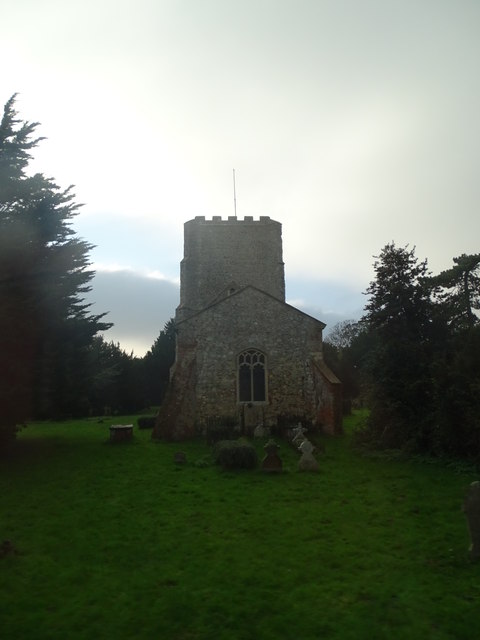
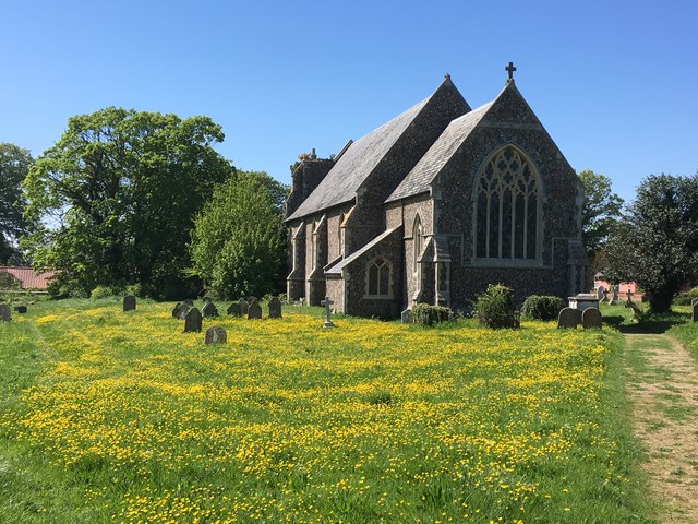
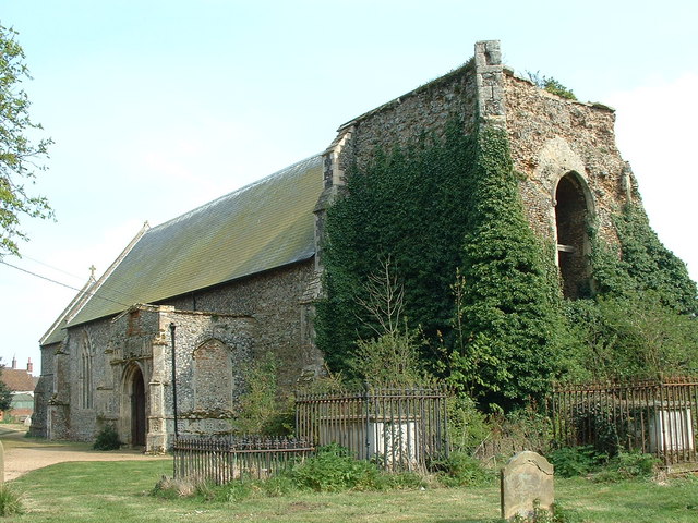
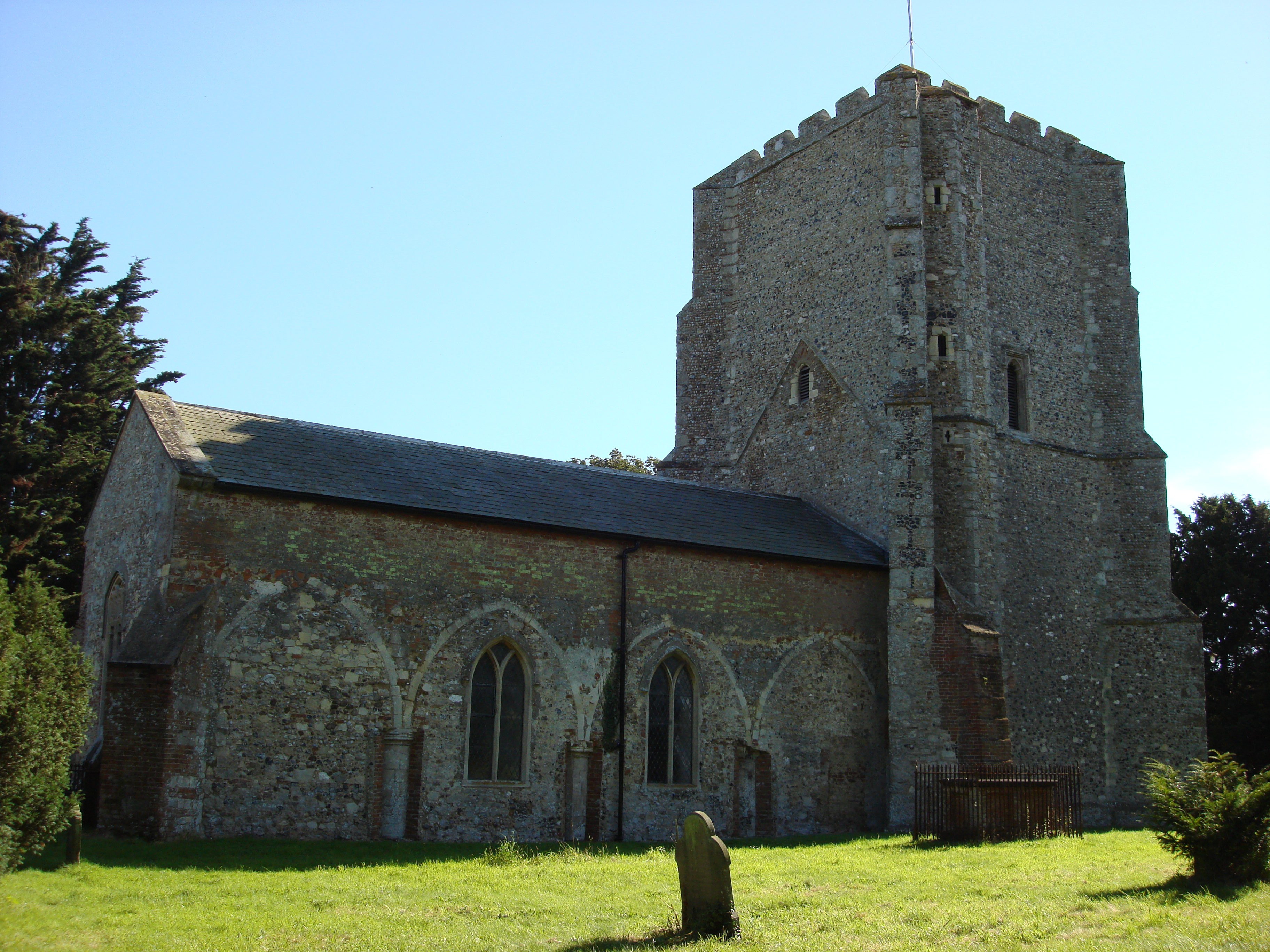
Alderton has a rich history dating back to medieval times, and remnants of this past can still be seen today. The village church, dedicated to St Andrew, is a notable landmark, with parts of the building dating back to the 12th century. The church is a Grade II listed building and is considered to be of historical and architectural importance.
The village also boasts a tight-knit community, with several local amenities to cater to residents' needs. These include a village hall, a primary school, and a pub. The surrounding area offers ample opportunities for outdoor activities, such as walking, cycling, and exploring the beautiful countryside.
In conclusion, Alderton is a charming and historic civil parish in Suffolk, known for its rural beauty, rich history, and close-knit community. It offers a peaceful and picturesque setting for residents and visitors alike.
If you have any feedback on the listing, please let us know in the comments section below.
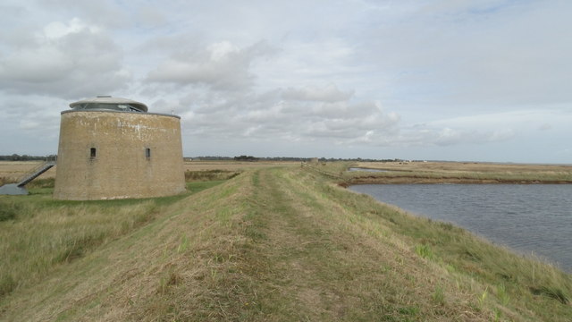
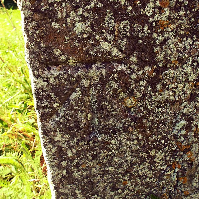
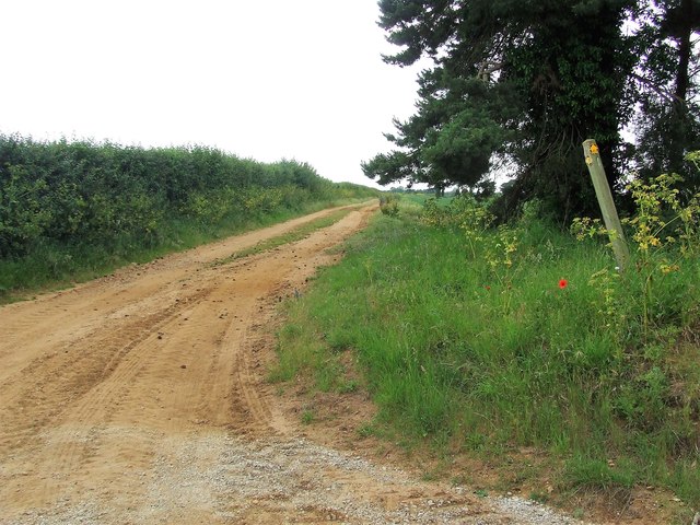
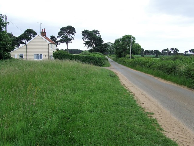
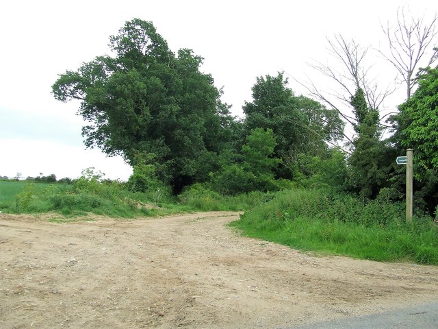
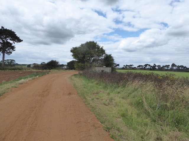
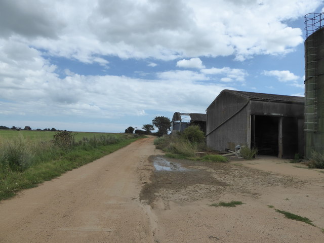
Alderton Images
Images are sourced within 2km of 52.024765/1.409147 or Grid Reference TM3341. Thanks to Geograph Open Source API. All images are credited.

Alderton is located at Grid Ref: TM3341 (Lat: 52.024765, Lng: 1.409147)
Administrative County: Suffolk
District: East Suffolk
Police Authority: Suffolk
What 3 Words
///blows.pumpkin.broadcast. Near Felixstowe, Suffolk
Nearby Locations
Related Wikis
Alderton, Suffolk
Alderton is a village and civil parish in the East Suffolk district of Suffolk, England, about six miles north of Felixstowe, 10 miles south-east of Woodbridge...

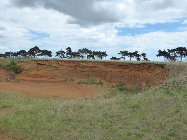
Buckanay Farm Pit, Alderton
Buckanay Farm Pit, Alderton is a 0.7-hectare (1.7-acre) geological Site of Special Scientific Interest east of Alderton in Suffolk. It is a Geological...
Bawdsey
Bawdsey is a village and civil parish in Suffolk, eastern England. Located on the other side of the river Deben from Felixstowe, it had an estimated population...

Bawdsey Cliff
Bawdsey Cliff is a 17.4-hectare (43-acre) geological Site of Special Scientific Interest north-east of Felixstowe in Suffolk. It is a Geological Conservation...

Ramsholt
Ramsholt is a small village and civil parish within the East Suffolk district, located in the county of Suffolk, England. It is situated on the northern...
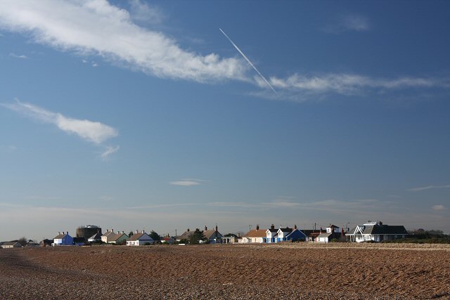
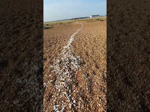
Shingle Street
Shingle Street is a coastal settlement on the North Sea coast of the English county of Suffolk. It is 8 miles (13 km) north-east of Felixstowe and 12 miles...
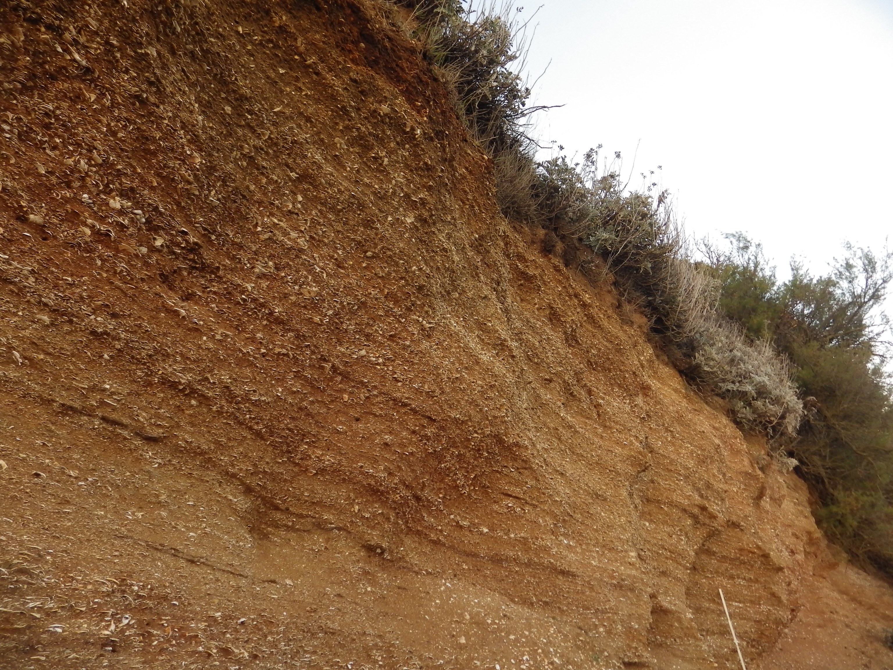
Red Crag Formation
The Red Crag Formation is a geological formation in England. It outcrops in south-eastern Suffolk and north-eastern Essex. The name derives from its iron...

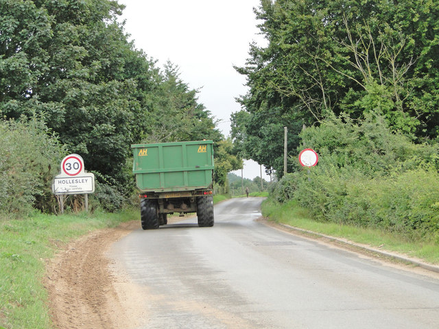
Hollesley
Hollesley is a village and civil parish in the East Suffolk district of Suffolk east of Ipswich in eastern England. Located on the Bawdsey peninsula five...
Related Videos

4k Relaxing Walk during August Heatwave, Shingle St across the Parched Coastal Shoreline to the Sea
Shingle Street.There is an August heatwave and the land is parched at Shingle Street, Suffolk. The usual long green flowing grass ...
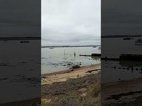
Large Flock of Geese at Bawdsey Quay, suffolk Uk 🇬🇧 😃
This Video was Taken 4 Days ago on Friday 12Th January 2024 and it Shows a fairly Large Flock of Geese at Bawdsey Quay ...

Sunrise at Shingle Street
Wednesday 26th October 2022 Shingle Street, Suffolk, England, United Kingdom.
Nearby Amenities
Located within 500m of 52.024765,1.409147Have you been to Alderton?
Leave your review of Alderton below (or comments, questions and feedback).