Rushy Meadow
Wood, Forest in Suffolk East Suffolk
England
Rushy Meadow
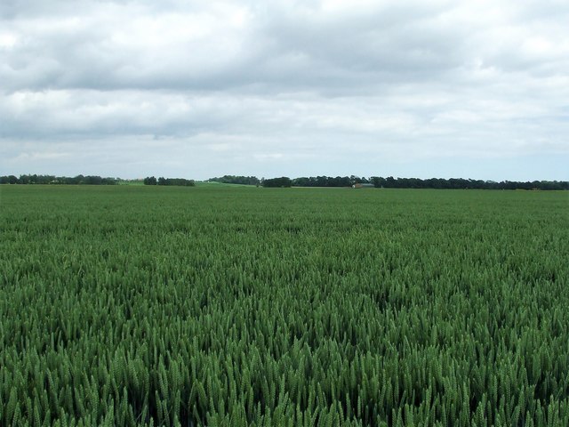
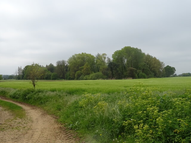
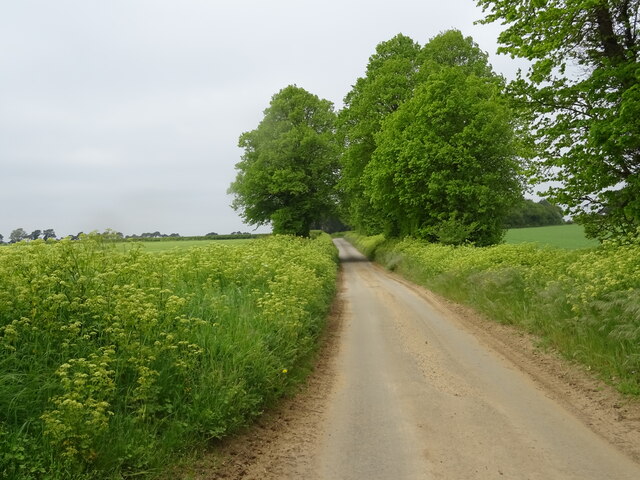
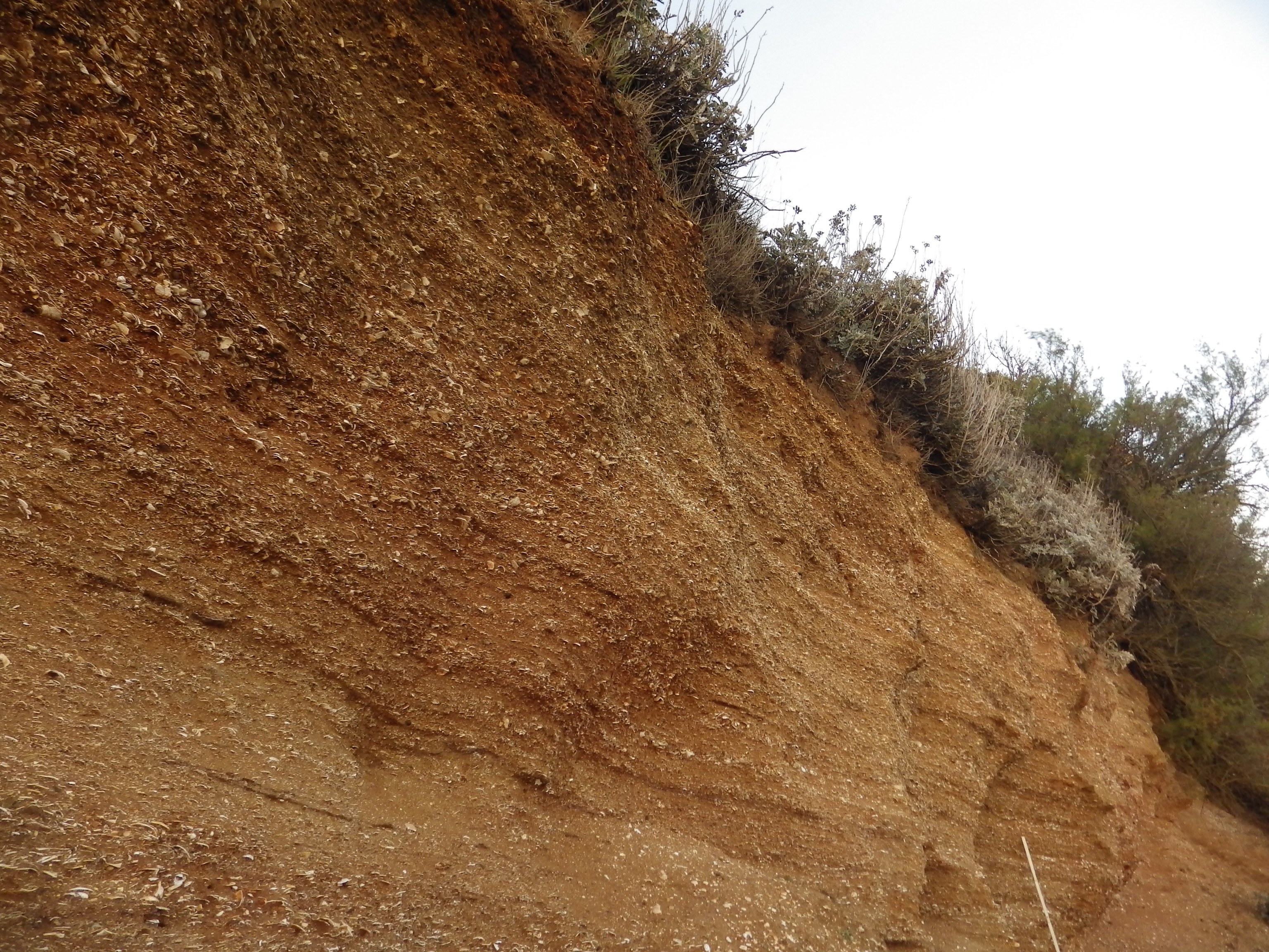
Rushy Meadow, Suffolk is a picturesque wood located in the county of Suffolk, England. Nestled amidst the captivating countryside, Rushy Meadow is renowned for its lush greenery, serene atmosphere, and diverse wildlife. The wood spans an area of approximately 100 acres, encompassing a variety of tree species, including oak, beech, and birch, which contribute to its scenic beauty.
The forest floor is carpeted with an array of wildflowers, creating a vibrant and colorful landscape during the spring and summer months. The tranquil ambiance of the woods makes it a popular destination for nature enthusiasts, hikers, and photographers seeking to immerse themselves in the beauty of the natural world.
Rushy Meadow is home to a plethora of wildlife, providing a sanctuary for a wide range of species. It is a haven for birds, with sightings of species such as woodpeckers, blue tits, and buzzards being common. The wood also sustains a variety of mammals, including deer, rabbits, and foxes, which can often be spotted amidst the trees and undergrowth.
The wood is crisscrossed by a network of well-maintained footpaths, allowing visitors to explore the area at their leisure. These paths lead to secluded clearings, babbling brooks, and panoramic viewpoints, offering visitors a chance to fully appreciate the natural splendor of Rushy Meadow.
Overall, Rushy Meadow, Suffolk is a captivating woodland that showcases the enchanting beauty of the British countryside. Its diverse flora and fauna, combined with its peaceful atmosphere, make it a must-visit destination for nature lovers and those seeking a tranquil escape from the hustle and bustle of everyday life.
If you have any feedback on the listing, please let us know in the comments section below.
Rushy Meadow Images
Images are sourced within 2km of 52.021658/1.401549 or Grid Reference TM3341. Thanks to Geograph Open Source API. All images are credited.


Rushy Meadow is located at Grid Ref: TM3341 (Lat: 52.021658, Lng: 1.401549)
Administrative County: Suffolk
District: East Suffolk
Police Authority: Suffolk
What 3 Words
///signs.mainland.flaunting. Near Felixstowe, Suffolk
Nearby Locations
Related Wikis
Alderton, Suffolk
Alderton is a village and civil parish in the East Suffolk district of Suffolk, England, about six miles north of Felixstowe, 10 miles south-east of Woodbridge...
Bawdsey
Bawdsey is a village and civil parish in Suffolk, eastern England. Located on the other side of the river Deben from Felixstowe, it had an estimated population...

Buckanay Farm Pit, Alderton
Buckanay Farm Pit, Alderton is a 0.7-hectare (1.7-acre) geological Site of Special Scientific Interest east of Alderton in Suffolk. It is a Geological...

Ramsholt
Ramsholt is a small village and civil parish within the East Suffolk district, located in the county of Suffolk, England. It is situated on the northern...

Bawdsey Cliff
Bawdsey Cliff is a 17.4-hectare (43-acre) geological Site of Special Scientific Interest north-east of Felixstowe in Suffolk. It is a Geological Conservation...
Red Crag Formation
The Red Crag Formation is a geological formation in England. It outcrops in south-eastern Suffolk and north-eastern Essex. The name derives from its iron...

Wilford Hundred
Wilford is a hundred of Suffolk, consisting of 31,500 acres (127 km2).Wilford Hundred extends about 12 miles (19 km) southward from Debach to Woodbridge...

RAF Bawdsey
Royal Air Force Bawdsey or more simply RAF Bawdsey is a former Royal Air Force station situated on the eastern coast in Suffolk, England. Also known as...
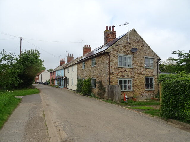
Nearby Amenities
Located within 500m of 52.021658,1.401549Have you been to Rushy Meadow?
Leave your review of Rushy Meadow below (or comments, questions and feedback).