Alderbury

Settlement in Wiltshire

England

Alderbury

Grazing and woodland near Waldon Farm
Grazing and woodland near Waldon Farm Credit: JThomas

Alderbury is a charming village located in the county of Wiltshire, England. Situated about 6 miles southeast of the city of Salisbury, Alderbury is nestled in the picturesque Avon Valley and enjoys a tranquil setting amidst rolling hills and lush green countryside.

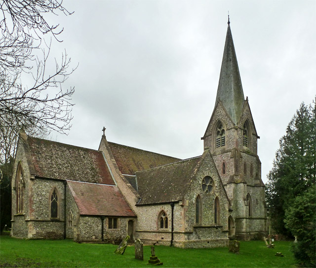
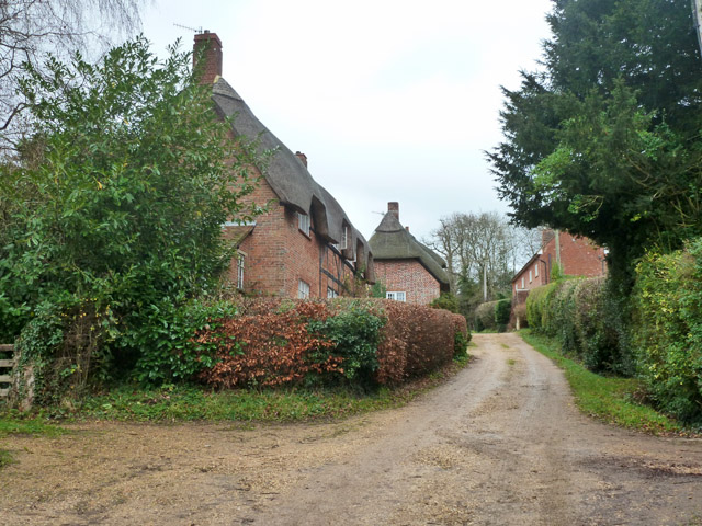
The village is known for its quaint and traditional English character, with a mix of beautiful thatched cottages and period houses lining the streets. The village center features a historic church, St. Mary's, which dates back to the 12th century and is a prominent landmark in the area.

Alderbury offers a range of amenities for its residents and visitors. There are several local shops, including a convenience store and a post office, providing essential services to the community. Additionally, the village boasts a primary school and a preschool, making it an attractive place for families.

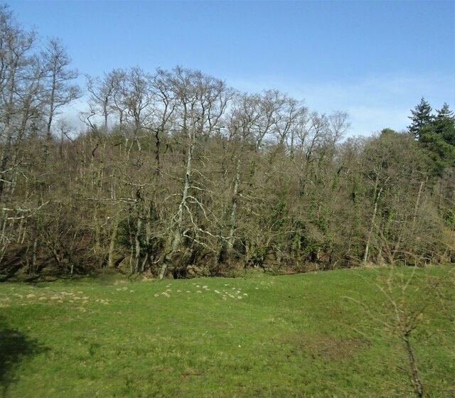
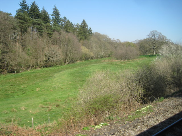
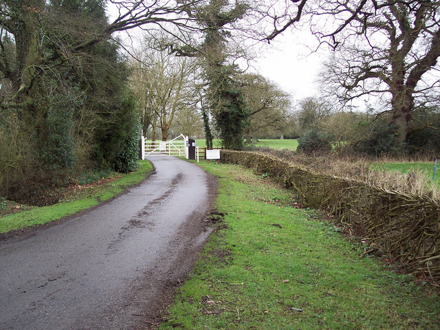
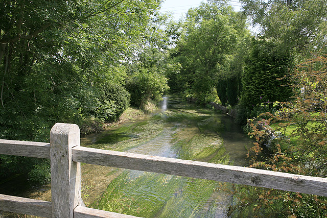
Nature lovers are drawn to Alderbury for its stunning natural surroundings. The Avon Valley Path, a popular walking route, passes through the village, offering scenic views of the river and the surrounding countryside. The area is also home to an abundance of wildlife, making it a great spot for birdwatching and nature enthusiasts.

For those seeking cultural and historical experiences, the nearby city of Salisbury is easily accessible. Salisbury Cathedral, a magnificent medieval structure with the tallest spire in England, is a must-visit attraction. The city also offers a variety of shops, restaurants, and cultural events, adding to the vibrancy of the region.

In conclusion, Alderbury is a delightful village in Wiltshire, boasting a peaceful and idyllic setting, a rich history, and easy access to both natural beauty and urban amenities.

If you have any feedback on the listing, please let us know in the comments section below.
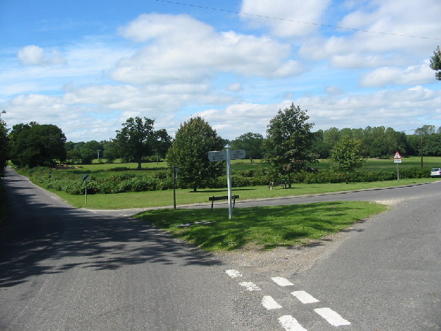
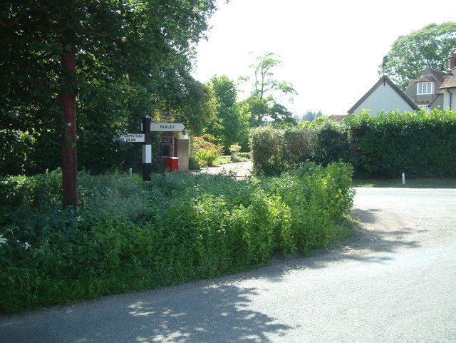
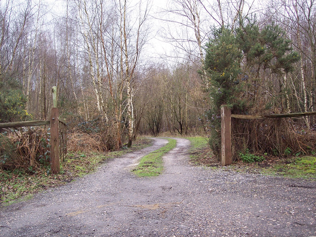
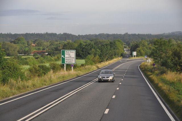
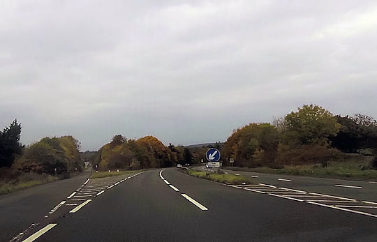
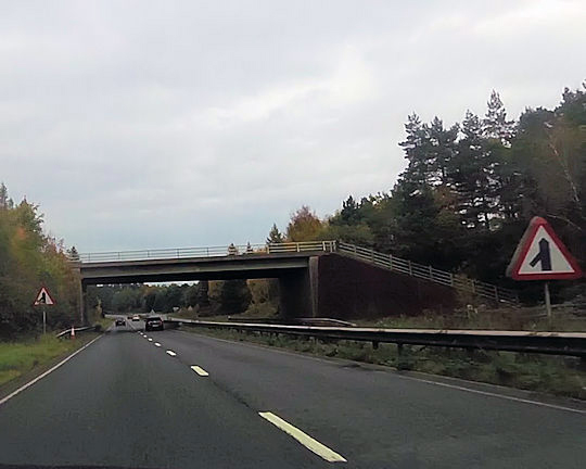
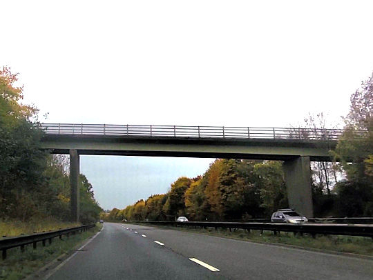
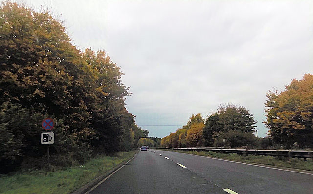
Alderbury Images

Images are sourced within 2km of 51.04259/-1.731717 or Grid Reference SU1827. Thanks to Geograph Open Source API. All images are credited.

Grazing and woodland near Waldon Farm
Steam train at West Grimstead Ex Southern Railway S15 4-6-0 No. E828 about to cross Green Drove bridge at West Grimstead.  The loco was hauling an Eastleigh to Salisbury local railtour.
Steam train at West Grimstead
Ex Southern Railway S15 4-6-0 No. E828 about to cross Green Drove bridge at West Grimstead. The loco was hauling an Eastleigh to Salisbury local railtour.
View from a Southampton-Salisbury train - Field near Waldon Farm
Railway arch at West Grimstead
Junction of Grimstead Road and Crockford Road, West Grimstead At this peaceful green at the western end of the village, the signpost indicates West Grimstead / West Dean to the left (towards the photographer) and East Grimstead / Farley to the right. The road ahead to the left leads to the A36 at Whaddon.
Junction of Grimstead Road and Crockford Road, West Grimstead
At this peaceful green at the western end of the village, the signpost indicates West Grimstead / West Dean to the left (towards the photographer) and East Grimstead / Farley to the right. The road ahead to the left leads to the A36 at Whaddon.
Road Junction, near Whitehouse Farm This junction is north of West Grimstead.
Road Junction, near Whitehouse Farm
This junction is north of West Grimstead.
Entrance to Waldon Farm Fishing Lakes
West Grimstead : Houses & Gardens
Clarendon Road junction with Lucewood Lane
Monk's lake One of several picturesque private fishing lakes on the Walden Estate
Monk's lake
One of several picturesque private fishing lakes on the Walden Estate
Salisbury District : The A36 The A36 road in the former Salisbury District of Wiltshire.
Salisbury District : The A36
The A36 road in the former Salisbury District of Wiltshire.
Road over water and under rail The road into West Grimstead crosses a small brook that will become the River Dun before passing under the Romsey to Salisbury railway line.
Road over water and under rail
The road into West Grimstead crosses a small brook that will become the River Dun before passing under the Romsey to Salisbury railway line.
Start of dual carriageway on A36
Overbridge over A36 near Whaddon
Footbridge over A36 at The Slip
A36 close to Alderbury Junction
Alderbury church Church of St. Mary the Virgin.
Alderbury church
Church of St. Mary the Virgin.
Silver Street, Alderbury The thatched houses are grade II listed buildings from the 17th and 18th centuries.
Silver Street, Alderbury
The thatched houses are grade II listed buildings from the 17th and 18th centuries.
Show me another place!

Alderbury is located at Grid Ref: SU1827 (Lat: 51.04259, Lng: -1.731717)

Unitary Authority: Wiltshire

Police Authority: Wiltshire

What 3 Words

///stow.hiding.nicknames. Near Alderbury, Wiltshire

Related Wikis

Alderbury

Alderbury is a village and civil parish in Wiltshire, England, in the south of the county around 3 miles (5 km) southeast of Salisbury.The parish includes...

Ivychurch Priory

Ivychurch Priory was a medieval monastic house in Alderbury, southeast of Salisbury, Wiltshire, England. According to Historic England, "all that remains...

Clarendon Park, Wiltshire

Clarendon Park is a Grade I listed building, estate and civil parish near Salisbury in Wiltshire, England. At the 2011 census the population of the parish...

Longford Castle

Longford Castle is a Grade I listed country house on the banks of the River Avon south of Salisbury, Wiltshire, England. It is the seat of the Earl of...

River Ebble

The River Ebble is one of the five rivers of the English city of Salisbury. Rising at Alvediston to the west of the city, it joins the River Avon at Bodenham...

West Grimstead

West Grimstead is a village in the civil parish of Grimstead, on the River Dun in Wiltshire, England, about 4.5 miles (7.2 km) southeast of Salisbury....

Britford Water Meadows

Britford Water Meadows (grid reference SU166274) is a biological Site of Special Scientific Interest at Britford, south of Salisbury in Wiltshire. It has...

Witherington

Witherington is a small settlement in Wiltshire, England, in the extreme south-east of the county, a tithing of the civil parish of Downton. Although surveyed...

Nearby Amenities

Located within 500m of 51.04259,-1.731717
Pigeon Hill
Place: locality
Source: OS_OpenData_StreetView
Lat/Long: 51.0397636/-1.7324217
Turning Circle
Source: Bing
Lat/Long: 51.0399564/-1.7323906
Woodlynne House
Source: OS_OpenData_StreetView
Lat/Long: 51.0424754/-1.7378398
Barrier: bollard
Foot: yes
Motor Vehicle: no
Lat/Long: 51.0393023/-1.7273422
Whaddon
Place: village
Lat/Long: 51.0406995/-1.7292592
Post Box
Collection Times: Mo-Fr 09:00
Post Box Type: wall
Ref: SP5 196
Royal Cypher: EIIR
Royal Cypher Wikidata: Q33102113
Lat/Long: 51.0448954/-1.7373296
Public Bookcase
Book Swap
Booth: K6
Disused Amenity: telephone
Man Made: telephone_box
Mapillary: 838372447105099
Public Bookcase Type: phone_box
Survey Date: 2019-10-08
Lat/Long: 51.0448697/-1.7372914
Post Box
Collection Times: Mo-Fr 09:00, Sa 07:00
Post Box Type: wall
Ref: SP5 299
Royal Cypher: GR
Royal Cypher Wikidata: Q33102273
Lat/Long: 51.0427317/-1.731963
Historic: milestone
Inscription: To Southton 19 Miles.; To Sarum 3 Miles.
Lat/Long: 51.0447833/-1.7365922
Bus Stop
Alderbury Village Hall
Bus: yes
Departures Board: realtime
Naptan AtcoCode: 4600WIA12278
Naptan Bearing: SE
Naptan CommonName: Village Hall
Naptan Indicator: opp
Naptan NaptanCode: wildjtgd
Naptan PlusbusZoneRef: SLSBRY
Naptan Street: Southampton Road
Naptan Verified: no
Operator: Salisbury Reds
Public Transport: platform
Shelter: yes
Tactile Paving: no
Lat/Long: 51.0400169/-1.7274534
Bus Stop
Alderbury Village Hall
Bench: yes
Bus: yes
Departures Board: realtime
Naptan AtcoCode: 4600WIA12279
Naptan Bearing: NW
Naptan CommonName: Village Hall
Naptan Indicator: NW-bound
Naptan NaptanCode: wildjtgm
Naptan PlusbusZoneRef: SLSBRY
Naptan Street: Southampton Road
Naptan Verified: no
Operator: Salisbury Reds
Public Transport: platform
Shelter: yes
Tactile Paving: no
Lat/Long: 51.0399971/-1.7275464
Bus Stop
Lights Lane
Bus: yes
Departures Board: realtime
Naptan AtcoCode: 4600WIA12277
Naptan Bearing: NW
Naptan CommonName: Lights Lane
Naptan Indicator: NW-bound
Naptan NaptanCode: wildjpmd
Naptan PlusbusZoneRef: SLSBRY
Naptan Street: Southampton Road
Naptan Verified: no
Operator: Salisbury Reds
Public Transport: platform
Shelter: yes
Tactile Paving: no
Lat/Long: 51.0427215/-1.7319092
Post Box
Collection Times: Mo-Fr 09:00, Sa 07:00
Post Box Type: lamp
Ref: SP5 397D
Royal Cypher: GVIR
Royal Cypher Wikidata: Q33102169
Lat/Long: 51.0399021/-1.7276163
Bicycle Parking
Bicycle Parking: stands
Capacity: 8
Covered: no
Lat/Long: 51.0399557/-1.7276421
Defibrillator
Defibrillator Location: Attached to the exterior wall of the village hall to the right of the main entrance.
Emergency: defibrillator
Indoor: no
Operator: www.aivia.eu
Lat/Long: 51.0399132/-1.7279947
Alderbury, Whaddon Boundary Line
Traffic Sign: city_limit
Lat/Long: 51.0403091/-1.7279056
Power: pole
Lat/Long: 51.043016/-1.7306054
Power: pole
Lat/Long: 51.0445902/-1.7258435
Power: pole
Lat/Long: 51.0441772/-1.7268302
Power: pole
Lat/Long: 51.0434332/-1.7296933
Power: pole
Lat/Long: 51.043924/-1.7285412
Addr City: Alderbury
Addr Housenumber: 1
Addr Street: Pinckney Lane
Lat/Long: 51.0434598/-1.7265365
Addr City: Alderbury
Addr Housenumber: 7
Addr Street: Pinckney Lane
Lat/Long: 51.0431868/-1.7271699
Addr City: Alderbury
Addr Housenumber: 1
Addr Street: Carpenter Court
Lat/Long: 51.0431775/-1.727219
Addr City: Alderbury
Addr Housenumber: 9
Addr Street: Carpenter Court
Lat/Long: 51.0428881/-1.7275653
Addr City: Alderbury
Addr Housenumber: 2
Addr Street: Carpenter Court
Lat/Long: 51.0431846/-1.7274405
Addr City: Alderbury
Addr Housenumber: 9
Addr Street: Pinckney Lane
Lat/Long: 51.0432037/-1.7275421
Addr City: Alderbury
Addr Housenumber: 10
Addr Street: Pinckney Lane
Lat/Long: 51.0435795/-1.7266742
Addr City: Alderbury
Addr Housenumber: 18
Addr Street: Pinckney Lane
Lat/Long: 51.0433175/-1.7273715
The data included in this document is from www.openstreetmap.org. The data is made available under ODbL.

Have you been to Alderbury?

Leave your review of Alderbury below (or comments, questions and feedback).