Ainstable

Civil Parish in Cumberland Eden

England

Ainstable

The B6413 to Newbiggin
The B6413 to Newbiggin Credit: David Purchase

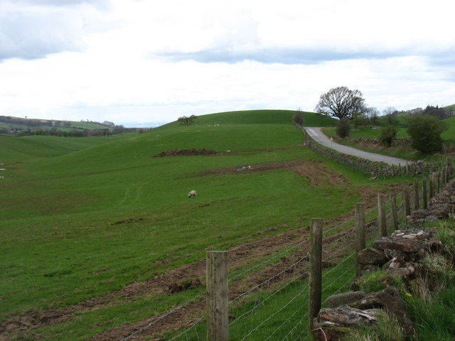
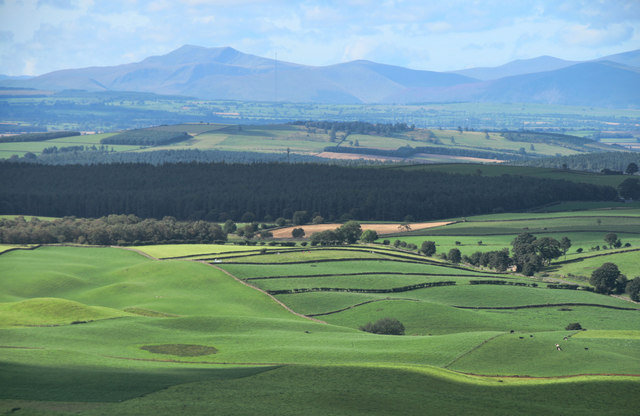
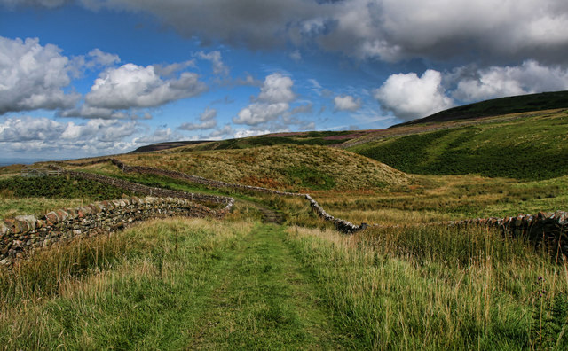
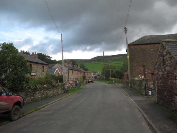
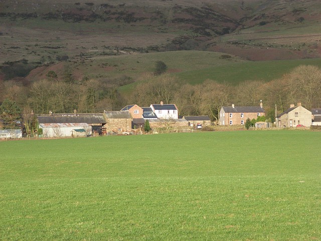
Ainstable is a civil parish located in the county of Cumberland, England. Situated in the northern part of the country, Ainstable encompasses a small but picturesque area. The parish lies on the eastern bank of the River Eden and is surrounded by rolling countryside, offering stunning views of the surrounding landscape.

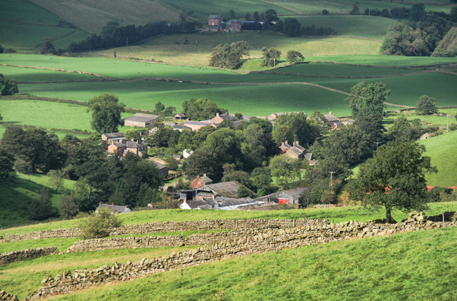
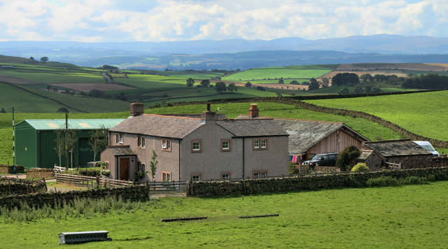
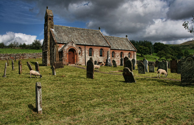
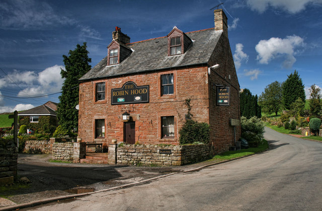
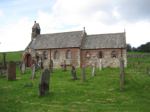
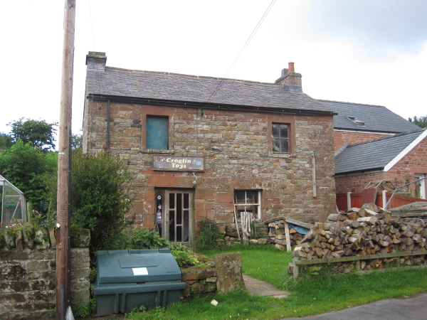
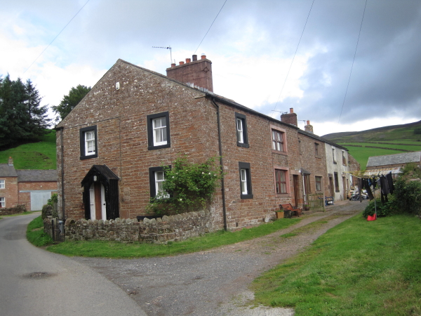
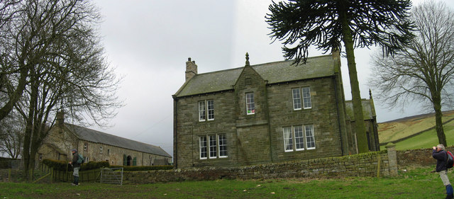
The village of Ainstable itself is a charming and idyllic settlement, with a population of around 300 residents. It is predominantly a rural community, known for its tranquil atmosphere and close-knit community spirit. The village is home to a number of historic buildings, including St. Michael's Church, dating back to the 12th century, which adds to the charm and character of the area.

Ainstable is well-connected to nearby towns and cities, with the larger town of Penrith located just 6 miles to the east. This provides residents with easy access to a range of amenities, including shops, schools, and healthcare facilities. The surrounding area is also rich in natural beauty, with the Lake District National Park just a short distance to the west, offering endless opportunities for outdoor activities and exploration.

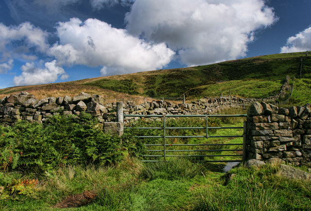
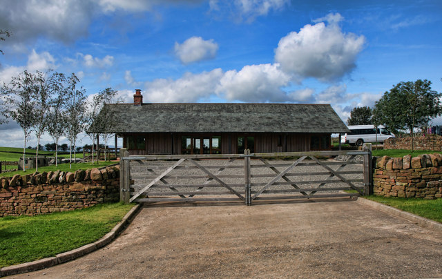
The economy of Ainstable is primarily based on agriculture, with farming playing a significant role in the local community. The fertile soil and favorable climate make it an ideal location for farming, with livestock and crop production being the main agricultural activities.

Overall, Ainstable is a peaceful and picturesque civil parish, offering a tranquil rural lifestyle amidst the beautiful countryside of Cumberland.

If you have any feedback on the listing, please let us know in the comments section below.
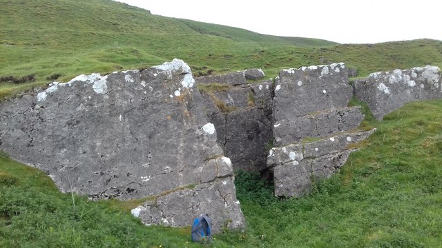
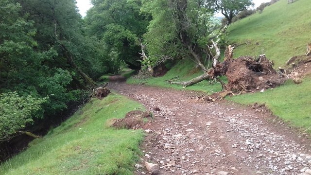
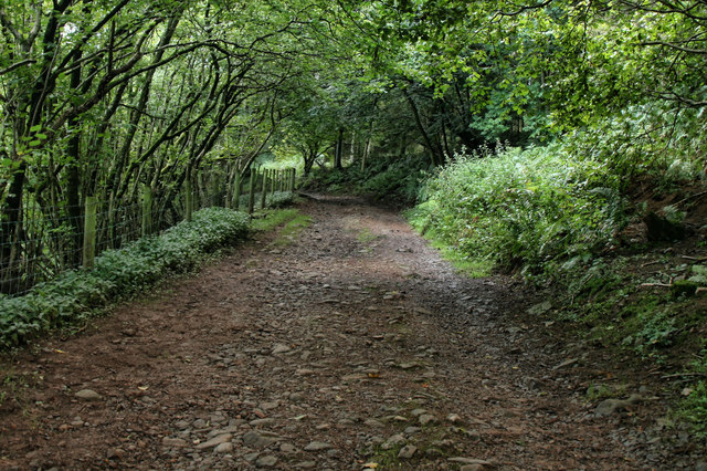
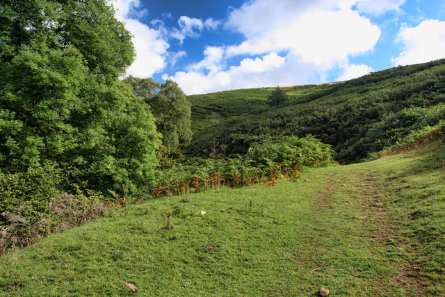
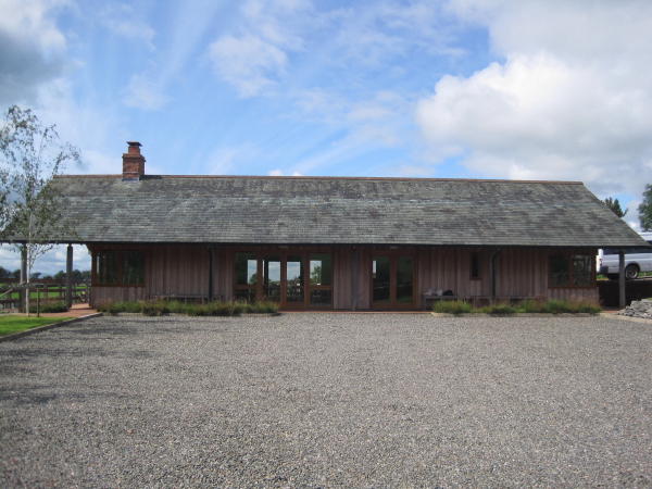
Ainstable Images

Images are sourced within 2km of 54.833912/-2.658993 or Grid Reference NY5748. Thanks to Geograph Open Source API. All images are credited.

The B6413 to Newbiggin
Limestone Feature Limestone feature above Croglin
Limestone Feature
Limestone feature above Croglin
Track above Newbiggin Track above Newbiggin.
Track above Newbiggin
Track above Newbiggin.
Newbiggin Track above Townhead Farm in Newbiggin.
Newbiggin
Track above Townhead Farm in Newbiggin.
Newbiggin beck Track alongside Newbiggin Beck.
Newbiggin beck
Track alongside Newbiggin Beck.
Newbiggin View of Newbiggin seen from the track leading to Croglin.
Newbiggin
View of Newbiggin seen from the track leading to Croglin.
Eden Valley View of the Eden Valley seen from above Newbiggin.
Eden Valley
View of the Eden Valley seen from above Newbiggin.
Newbiggin Fell Gate on Newbiggin Fell.
Newbiggin Fell
Gate on Newbiggin Fell.
Newbiggin Fell Track between Croglin and Newbiggin on Newbiggin Fell.
Newbiggin Fell
Track between Croglin and Newbiggin on Newbiggin Fell.
Plantation Nook The farmhouse at Plantation Nook above Croglin.
Plantation Nook
The farmhouse at Plantation Nook above Croglin.
Plantation Nook Shooting Lodge at Plantation Nook.
Plantation Nook
Shooting Lodge at Plantation Nook.
Croglin St John the Baptist Church in Croglin.
Croglin
St John the Baptist Church in Croglin.
Croglin The Robin Hood at Croglin.
Croglin
The Robin Hood at Croglin.
St. John's, Croglin
St. John's, Croglin
Croglin
Croglin
Groglin Toys, Croglin No longer based in Croglin
<span class="nowrap"><a title="http://www.croglindesigns.co.uk/" rel="nofollow ugc noopener" href="http://www.croglindesigns.co.uk/">Link</a><img style="margin-left:2px;" alt="External link" title="External link - shift click to open in new window" src="https://s1.geograph.org.uk/img/external.png" width="10" height="10"/></span>
Groglin Toys, Croglin
No longer based in Croglin LinkExternal link
Croglin
Croglin
Plantation Nook Grouse Shooters' Hut Much more luxurious than the usual grouse shooters' hut.
Plantation Nook Grouse Shooters' Hut
Much more luxurious than the usual grouse shooters' hut.
Show me another place!

Ainstable is located at Grid Ref: NY5748 (Lat: 54.833912, Lng: -2.658993)

Administrative County: Cumbria

District: Eden

Police Authority: Cumbria

What 3 Words

///contracts.divisible.bakers. Near Wetheral, Cumbria

Nearby Locations

Ainstable

Related Wikis

Related Videos

Scalehouses CQ Series

An evening walk down at Saclehouses. This is situated about 30 miles north east of the Lake District and 15 miles south east of ...

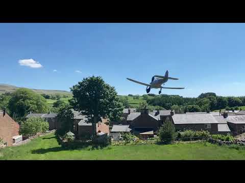
Vintage Balsa WW2 Hawker Hurricane maiden flight

My vintage models Hurricane. 30'yeats since I have built a balsa plane. So much fun and she flys so well ...

Nearby Amenities

Located within 500m of 54.833912,-2.658993
Hunting Stand
Lat/Long: 54.8332683/-2.6549167
Hunting Stand
Lat/Long: 54.8334119/-2.6541763
Hunting Stand
Lat/Long: 54.8335551/-2.6534068
Hunting Stand
Lat/Long: 54.8336969/-2.6527202
Hunting Stand
Lat/Long: 54.8338476/-2.6519844
Hunting Stand
Lat/Long: 54.8339908/-2.6512642
Natural: sinkhole
Lat/Long: 54.832407/-2.6574541
Natural: sinkhole
Lat/Long: 54.8329912/-2.6590809
Natural: sinkhole
Lat/Long: 54.8330966/-2.6591952
Natural: sinkhole
Lat/Long: 54.8332909/-2.6572512
Dod Crag
Place: locality
Lat/Long: 54.835764/-2.6630143
Natural: sinkhole
Lat/Long: 54.8318761/-2.6570032
Natural: sinkhole
Lat/Long: 54.8318027/-2.6569926
The data included in this document is from www.openstreetmap.org. The data is made available under ODbL.

Have you been to Ainstable?

Leave your review of Ainstable below (or comments, questions and feedback).