Acton Bridge
Civil Parish in Cheshire
England
Acton Bridge

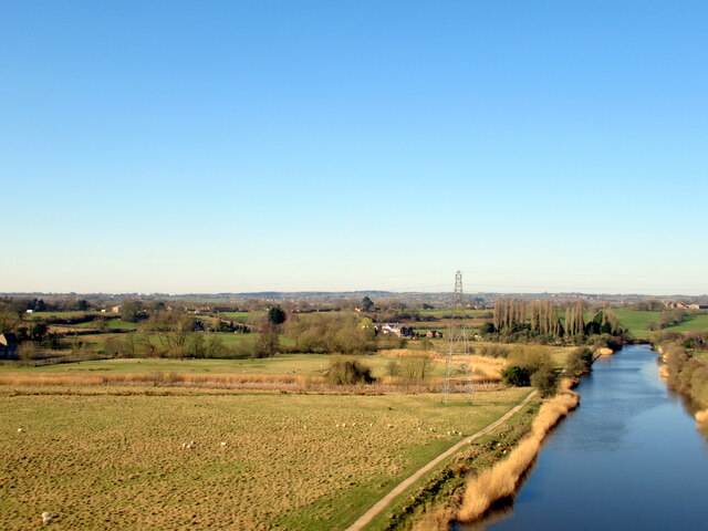
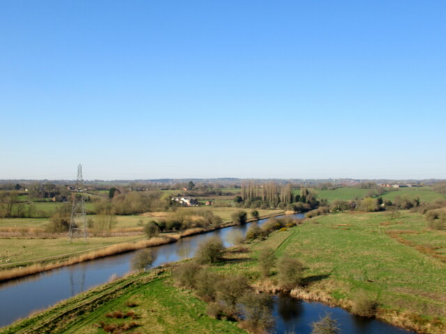
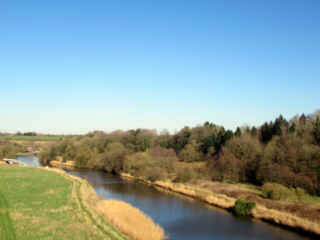
Acton Bridge is a civil parish located in the county of Cheshire, England. It is situated on the banks of the River Weaver, approximately 4 miles east of the town of Northwich. The village is known for its picturesque countryside and idyllic setting.
The history of Acton Bridge dates back many centuries, with evidence of human habitation in the area since the Roman times. The village itself was mentioned in the Domesday Book of 1086, highlighting its long-standing presence in the region.
Today, Acton Bridge is a small but vibrant community with a population of around 400 residents. The village is primarily residential, with a mix of traditional cottages and more modern houses. It is surrounded by beautiful countryside, making it a popular destination for nature lovers and hikers.
The village is served by a local primary school, which has been an integral part of the community for many years. Additionally, Acton Bridge has a village hall that serves as a hub for various community activities and events.
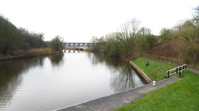
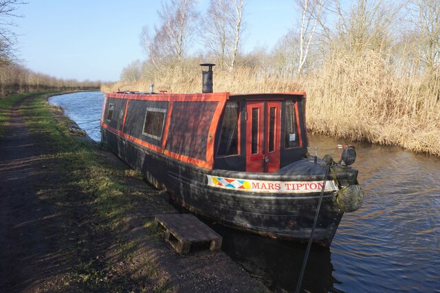
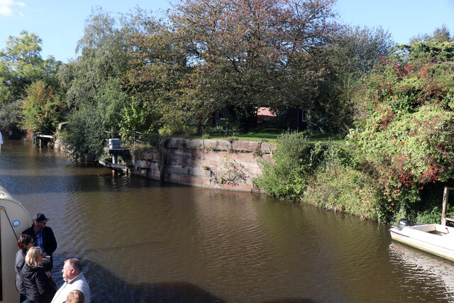
The River Weaver, which runs through Acton Bridge, offers opportunities for boating and fishing. The village is also well-connected by road and has a train station, providing convenient access to nearby towns and cities.
Overall, Acton Bridge is a charming and peaceful village that offers a tranquil escape from the hustle and bustle of city life. Its rich history, beautiful surroundings, and close-knit community make it a desirable place to live or visit in Cheshire.
If you have any feedback on the listing, please let us know in the comments section below.
Acton Bridge Images
Images are sourced within 2km of 53.274341/-2.612059 or Grid Reference SJ5975. Thanks to Geograph Open Source API. All images are credited.
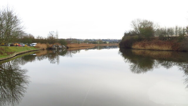
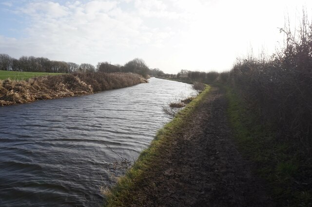
![Farmland south-west of Dutton Dean On the north-east bank of the River Weaver [Weaver Navigation].](https://s0.geograph.org.uk/geophotos/06/93/80/6938048_7ee3c6dd.jpg)
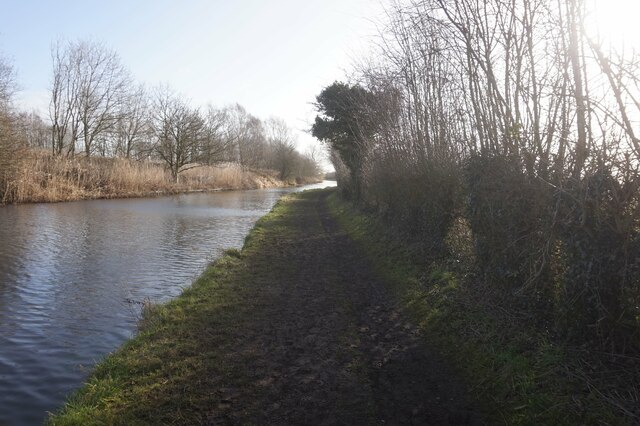
![Farmland north-east of Acton Hall Farm On the south bank of the River Weaver [Weaver Navigation].](https://s1.geograph.org.uk/geophotos/06/93/80/6938049_eb2bdf2d.jpg)


Acton Bridge is located at Grid Ref: SJ5975 (Lat: 53.274341, Lng: -2.612059)
Unitary Authority: Cheshire West and Chester
Police Authority: Cheshire
What 3 Words
///lucky.arch.yummy. Near Weaverham, Cheshire
Nearby Locations
Related Wikis

Acton Bridge
Acton Bridge (formerly Acton) is a village and civil parish in Cheshire, England. Located within the unitary authority of Cheshire West and Chester on...
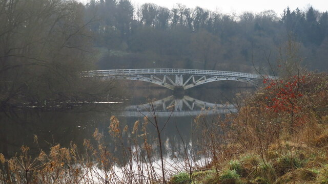
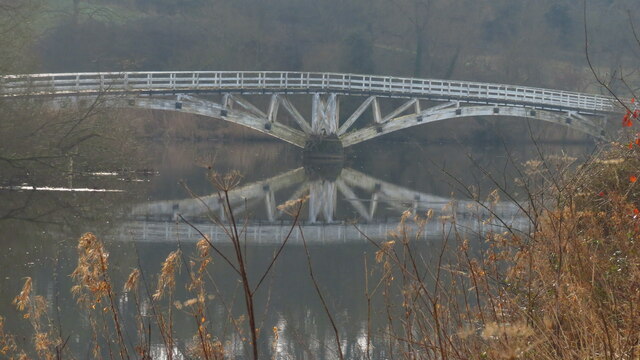
Acton swing bridge
The Acton swing bridge is a swing bridge spanning the River Weaver in the village of Acton Bridge in north Cheshire, England. First operated in 1933, it...

Grange School Rowing Club
Grange School Rowing Club is a rowing club on the River Weaver, based at the Boathouse, off Willow Green Lane, Little Leigh, Northwich, Cheshire. ��2...

Acton Bridge railway station
Acton Bridge railway station serves the nearby villages of Acton Bridge and Weaverham, Cheshire, in the northwest of England. It is situated on the West...

Dutton Viaduct
Dutton Viaduct is on the West Coast Main Line where it crosses the River Weaver and the Weaver Navigation between the villages of Dutton and Acton Bridge...
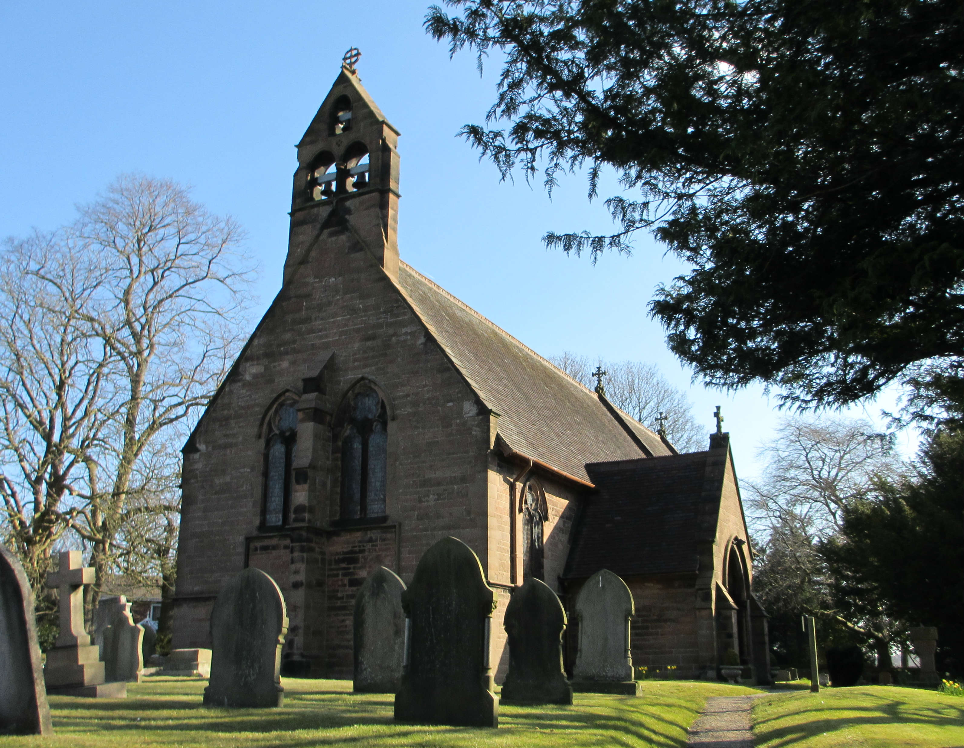
Christ Church, Crowton
Christ Church, Crowton, is located in Station Road, Crowton, Cheshire, England. It is an active Anglican parish church in the deanery of Frodsham, the...

Dutton Horse Bridge
Dutton Horse Bridge is a timber twin-span footbridge across part of the Weaver navigation, near the villages of Acton Bridge and Dutton in Cheshire, England...

Dutton Locks
Dutton Locks is a historic lock on the River Weaver in Cheshire, England. The locks are Grade II listed with Historic England. The locks are still in use...
Nearby Amenities
Located within 500m of 53.274341,-2.612059Have you been to Acton Bridge?
Leave your review of Acton Bridge below (or comments, questions and feedback).