Acton Bridge
Settlement in Cheshire
England
Acton Bridge

Acton Bridge is a small village located in the county of Cheshire, England. Situated on the banks of the River Weaver, it lies approximately 4 miles northeast of Northwich and 8 miles southwest of Warrington. The village is part of the civil parish of Acton Bridge and is under the local government district of Cheshire West and Chester.
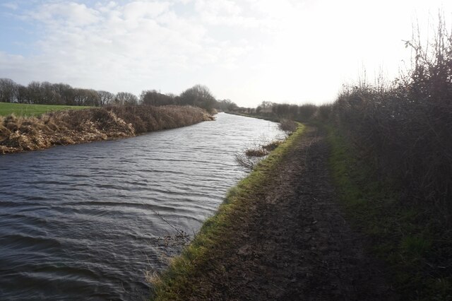
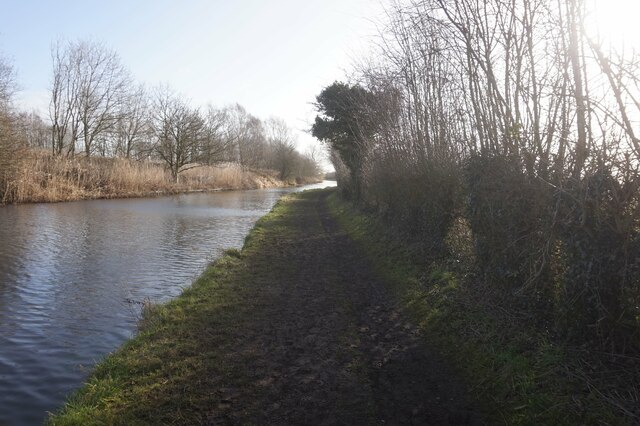
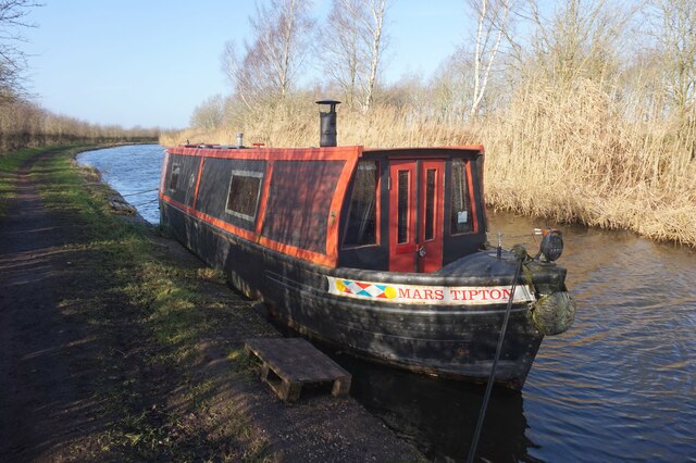
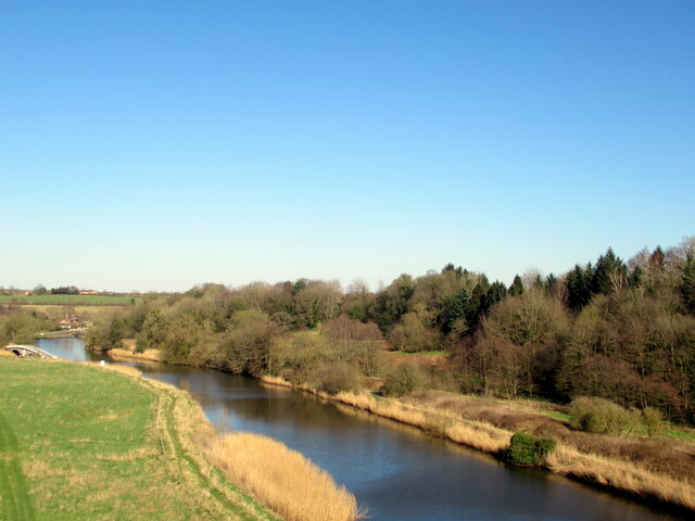
Historically, Acton Bridge was an important transportation hub due to its location on the Weaver Navigation, a canal system that connected the village to the nearby towns and cities. Today, the village retains its picturesque charm with its traditional cottages, a church, and a village green. The surrounding countryside offers beautiful views and a tranquil atmosphere for residents and visitors.
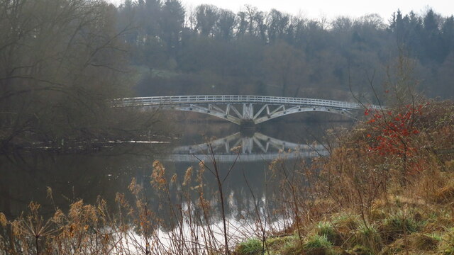
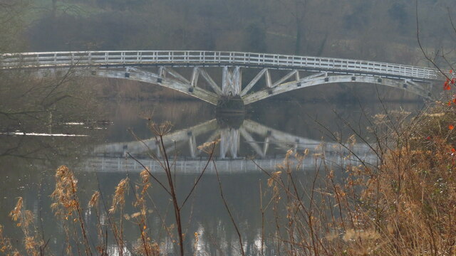
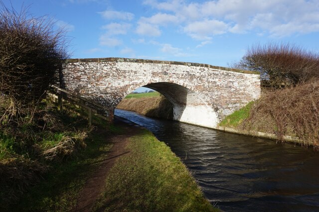
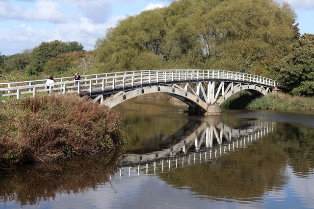
A notable landmark in Acton Bridge is the Acton Swing Bridge, a Grade II listed structure that was built in the 1930s. The bridge spans the River Weaver and allows boats to pass through, maintaining the waterway as an important transportation route.
The village has a small community and a range of amenities, including a primary school, a pub, and a village hall. It also has good transport links, with Acton Bridge railway station providing regular services to Chester, Liverpool, and Manchester.
Acton Bridge offers a peaceful and idyllic setting, making it an attractive place for those seeking a rural lifestyle while still having access to nearby towns and cities.
If you have any feedback on the listing, please let us know in the comments section below.
Acton Bridge Images
Images are sourced within 2km of 53.273533/-2.606544 or Grid Reference SJ5975. Thanks to Geograph Open Source API. All images are credited.
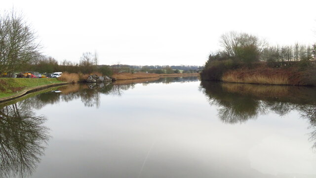
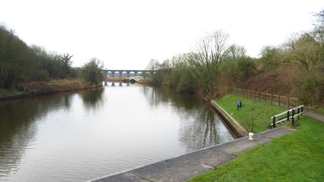
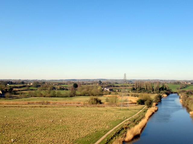
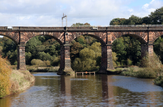
![Farmland south-west of Dutton Dean On the north-east bank of the River Weaver [Weaver Navigation].](https://s0.geograph.org.uk/geophotos/06/93/80/6938048_7ee3c6dd.jpg)
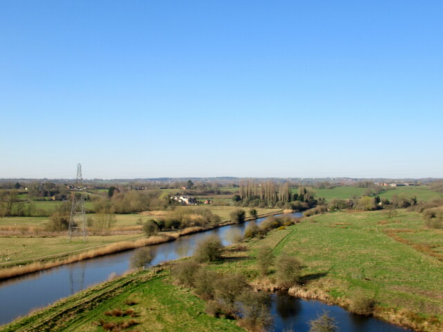
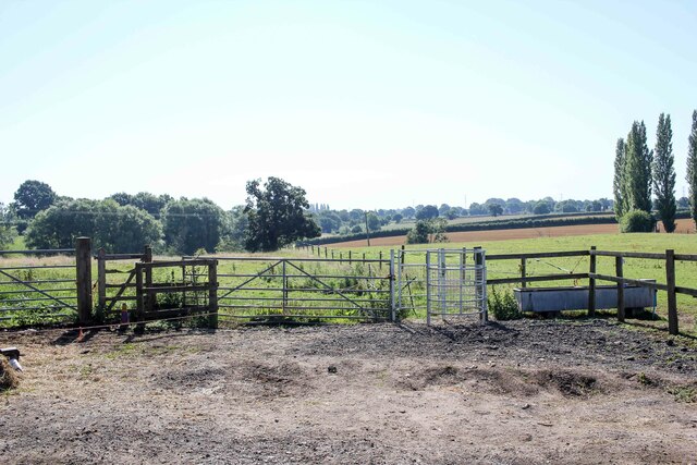
![Farmland north-east of Acton Hall Farm On the south bank of the River Weaver [Weaver Navigation].](https://s1.geograph.org.uk/geophotos/06/93/80/6938049_eb2bdf2d.jpg)

Acton Bridge is located at Grid Ref: SJ5975 (Lat: 53.273533, Lng: -2.606544)
Unitary Authority: Cheshire West and Chester
Police Authority: Cheshire
What 3 Words
///alienated.hulk.clouds. Near Weaverham, Cheshire
Nearby Locations
Related Wikis

Acton Bridge
Acton Bridge (formerly Acton) is a village and civil parish in Cheshire, England. Located within the unitary authority of Cheshire West and Chester on...

Grange School Rowing Club
Grange School Rowing Club is a rowing club on the River Weaver, based at the Boathouse, off Willow Green Lane, Little Leigh, Northwich, Cheshire. ��2...
Acton swing bridge
The Acton swing bridge is a swing bridge spanning the River Weaver in the village of Acton Bridge in north Cheshire, England. First operated in 1933, it...

Acton Bridge railway station
Acton Bridge railway station serves the nearby villages of Acton Bridge and Weaverham, Cheshire, in the northwest of England. It is situated on the West...
Nearby Amenities
Located within 500m of 53.273533,-2.606544Have you been to Acton Bridge?
Leave your review of Acton Bridge below (or comments, questions and feedback).