Abbots Bickington

Civil Parish in Devon Torridge

England

Abbots Bickington

Milton Damerel village sign on the A388
Milton Damerel village sign on the A388 Credit: Roy Hughes

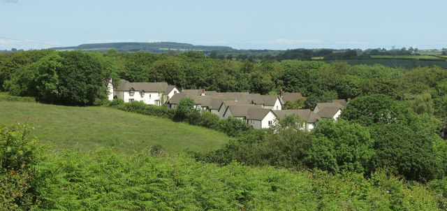
Abbots Bickington is a civil parish located in the county of Devon, England. Situated in the Torridge district, this rural parish covers an area of approximately 3 square kilometers. It is home to a small population of around 150 residents.

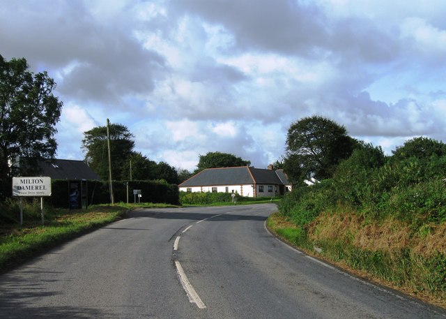
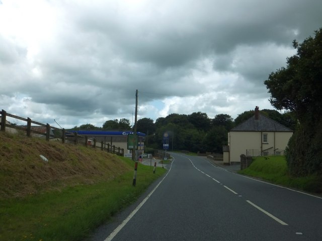
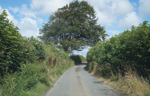
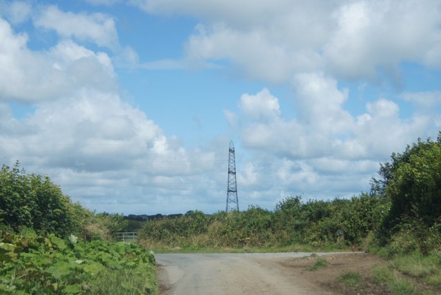
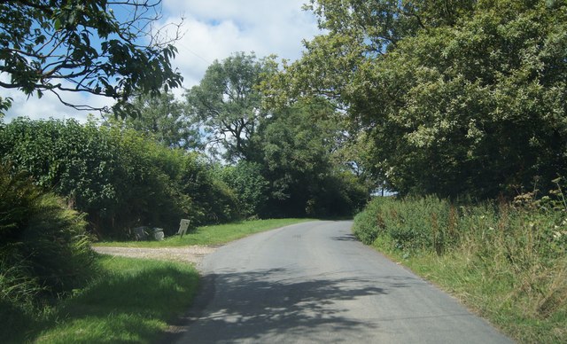
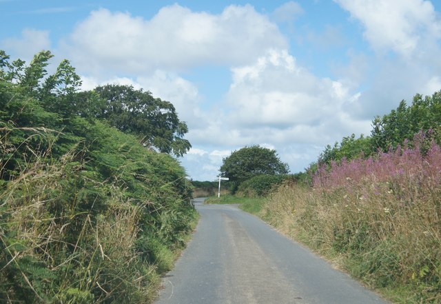
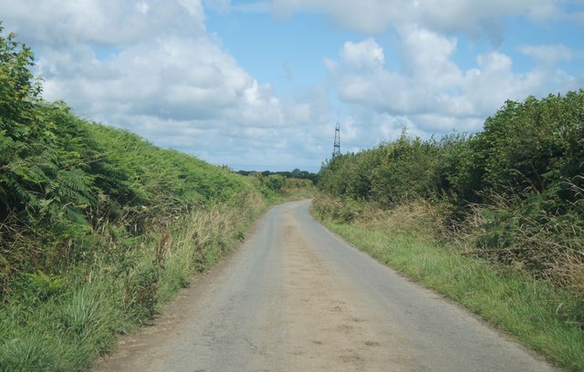
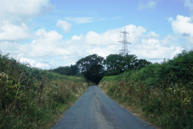
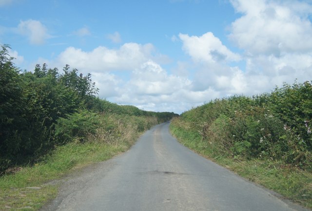
The landscape of Abbots Bickington is characterized by rolling hills, lush green fields, and a peaceful countryside atmosphere. The parish is surrounded by beautiful countryside views, offering residents and visitors a serene and tranquil environment.

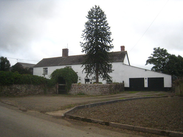
The parish is primarily an agricultural area, with farming being the main industry. The fertile soil and favorable climate make it ideal for cultivating various crops, such as wheat, barley, and vegetables. Livestock farming, particularly sheep and cattle rearing, is also prevalent in the area.

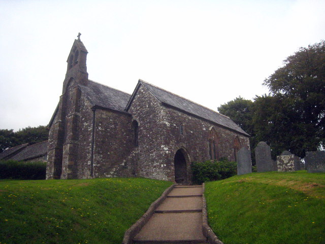
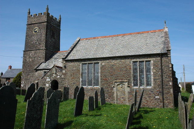
Abbots Bickington is not known for any significant landmarks or historical sites. However, it does boast a quaint village church, St. James Church, which dates back to the 13th century. This charming church serves as a place of worship for the local community and provides a glimpse into the area's religious heritage.

Despite its small size and lack of amenities, Abbots Bickington offers a close-knit community and a tight bond among its residents. The parish hosts various community events throughout the year, bringing people together and fostering a sense of belonging.

Overall, Abbots Bickington is a quiet and picturesque civil parish in Devon, providing a peaceful retreat for those seeking a rural lifestyle away from the hustle and bustle of city living.

If you have any feedback on the listing, please let us know in the comments section below.

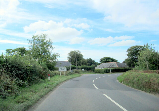
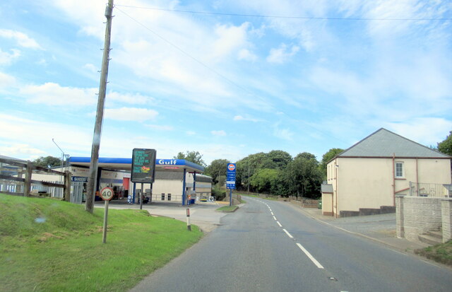
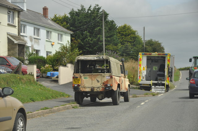
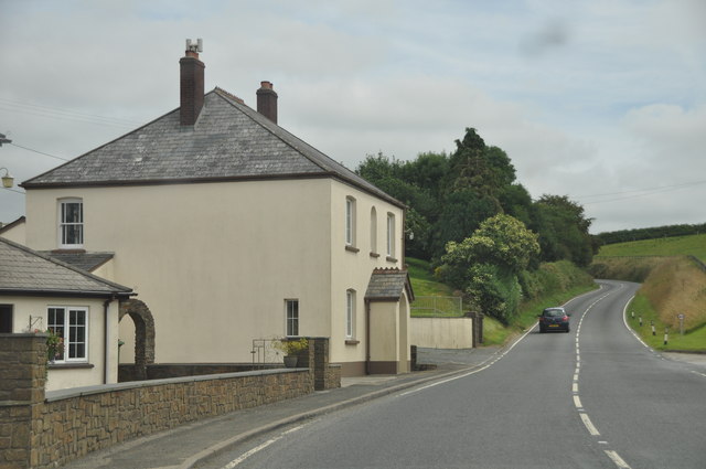
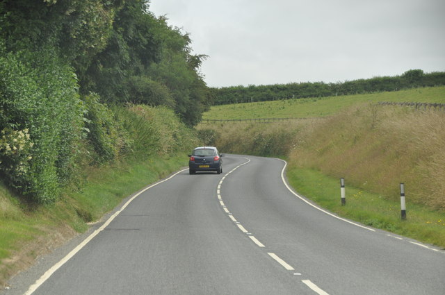
Abbots Bickington Images

Images are sourced within 2km of 50.895417/-4.308499 or Grid Reference SS3713. Thanks to Geograph Open Source API. All images are credited.

Milton Damerel village sign on the A388
W Sanders & Sons Gulf Garage on the A388
A hedge topping Triangulation Pillar standing beneath Power Lines at Derworthy Looking south-westward from the lane.
A hedge topping Triangulation Pillar standing beneath Power Lines at Derworthy
Looking south-westward from the lane.
Woodford Bridge Country Club A holiday accommodation development close to the River Torridge.
Woodford Bridge Country Club
A holiday accommodation development close to the River Torridge.
Entrance to Milton Damerel
Gulf filling station at Horrellsford, Milton Damerel
The farmhouse at Town Farm Bulkworthy
St Michael's Church Bulkworthy Dating from C15 and restored in 1874.  Grade II* Listed <span class="nowrap"><a title="http://list.english-heritage.org.uk/resultsingle.aspx?uid=1104977&searchtype=mapsearch" rel="nofollow ugc noopener" href="http://list.english-heritage.org.uk/resultsingle.aspx?uid=1104977&searchtype=mapsearch">Link</a><img style="margin-left:2px;" alt="External link" title="External link - shift click to open in new window" src="https://s1.geograph.org.uk/img/external.png" width="10" height="10"/></span>
St Michael's Church Bulkworthy
Dating from C15 and restored in 1874. Grade II* Listed LinkExternal link
Torridge : The A388 Looking along the A388 and houses alongside the road.
Torridge : The A388
Looking along the A388 and houses alongside the road.
Torridge : The A388 Looking along the A388 as it heads through the Torridge District.
Torridge : The A388
Looking along the A388 as it heads through the Torridge District.
Torridge : The A388 A road heading through the Torridge District on the A388.
Torridge : The A388
A road heading through the Torridge District on the A388.
Narrow lane to Five Lanes Cross Heading north of the A388.
Narrow lane to Five Lanes Cross
Heading north of the A388.
Not really a rural feature Lane heading from The Shop towards Five Lanes Cross.
Not really a rural feature
Lane heading from The Shop towards Five Lanes Cross.
Passing Little Derworthy Farm
Approach to Five Lanes Cross
Rural lane north of Shop The pylon is a somewhat dominant feature in this grid square.
Rural lane north of Shop
The pylon is a somewhat dominant feature in this grid square.
Lane to Five Lanes Cross One of five!
Lane to Five Lanes Cross
One of five!
Lane to Five Lanes Cross
Show me another place!

Abbots Bickington is located at Grid Ref: SS3713 (Lat: 50.895417, Lng: -4.308499)

Administrative County: Devon

District: Torridge

Police Authority: Devon & Cornwall

What 3 Words

///admit.stiletto.fashion. Near Holsworthy, Devon

Nearby Locations

Abbots Bickington

Related Wikis

Nearby Amenities

Located within 500m of 50.895417,-4.308499
Power: pole
Source: bing
Lat/Long: 50.8909743/-4.3085665
Power: pole
Source: bing
Lat/Long: 50.8919032/-4.3079013
Power: pole
Source: bing
Lat/Long: 50.8927779/-4.3072709
Power: pole
Source: bing
Lat/Long: 50.8945475/-4.306013
Power: pole
Source: bing
Lat/Long: 50.8936559/-4.3066379
Power: pole
Source: bing
Lat/Long: 50.8954264/-4.3053921
Power: pole
Source: bing
Transformer: distribution
Lat/Long: 50.8958265/-4.3043594
Power: pole
Source: bing
Lat/Long: 50.8962571/-4.3031833
Power: pole
Source: bing
Lat/Long: 50.896806/-4.3018274
The data included in this document is from www.openstreetmap.org. The data is made available under ODbL.

Have you been to Abbots Bickington?

Leave your review of Abbots Bickington below (or comments, questions and feedback).