Chwitffordd
Community in Flintshire
Wales
Chwitffordd

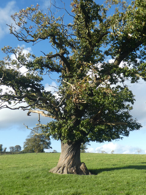
Whitford is a small community located in Flintshire, Wales. It is situated near the border with England, approximately 7 miles from the town of Holywell. The village is surrounded by picturesque countryside, with rolling hills and farmland making up much of the landscape.
Whitford is a peaceful and rural community, with a small population of around 400 residents. The village is home to a historic church, St. Mary's, which dates back to the 13th century and is a prominent feature in the local area.
The community of Whitford is close-knit, with a strong sense of community spirit. There are a number of local events and activities that take place throughout the year, bringing residents together and fostering a sense of belonging.
Whitford is a popular destination for those looking to escape the hustle and bustle of city life and enjoy the tranquility of the countryside. The village offers a range of outdoor recreational activities, including walking, cycling, and horse riding, making it an ideal location for nature lovers and outdoor enthusiasts.
If you have any feedback on the listing, please let us know in the comments section below.
Chwitffordd Images
Images are sourced within 2km of 53.286546/-3.299796 or Grid Reference SJ1377. Thanks to Geograph Open Source API. All images are credited.


Chwitffordd is located at Grid Ref: SJ1377 (Lat: 53.286546, Lng: -3.299796)
Unitary Authority: Flintshire
Police Authority: North Wales
Also known as: Whitford
What 3 Words
///chop.fingernails.conspired. Near Whitford, Flintshire
Nearby Locations
Related Wikis
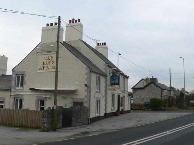
Lloc
Lloc is a small village in Flintshire, north Wales. It is located within the community of Whitford. It lies north of the Clwydian Range, just east of the...

Whitford, Flintshire
Whitford (Welsh: Chwitffordd) is a village, community and an electoral ward near Holywell in Flintshire, northeast Wales. The population of both the community...

Church of St Beuno and St Mary
The Church of St Beuno and St Mary is a Grade I listed church in Whitford, overlooking the estuary of the river Dee. The church has a well preserved late...
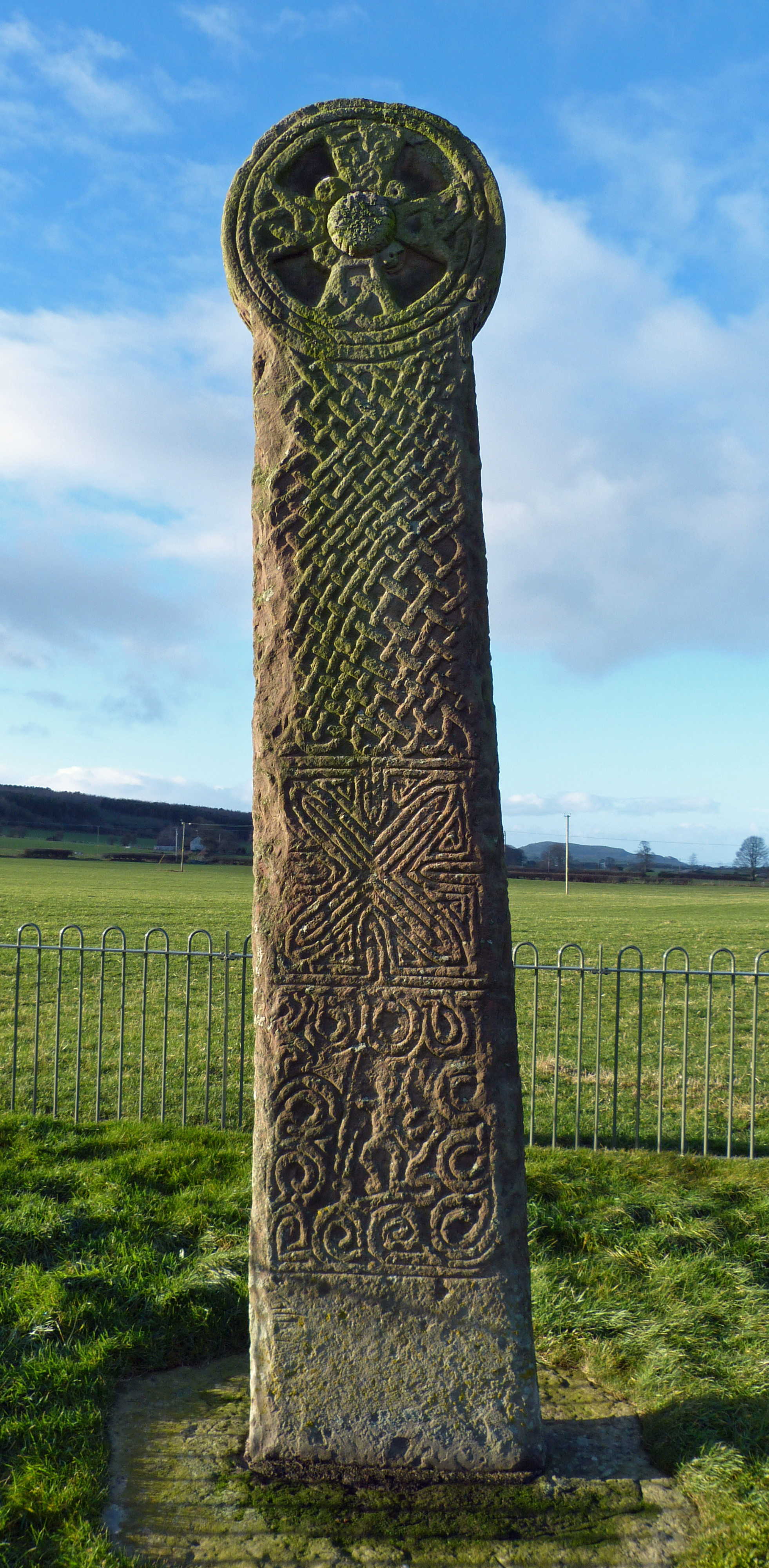
Maen Achwyfan Cross
Maen Achwyfan Cross (Welsh: Maen Achwyfan, Croes Maen Achwyfan), located near the village of Whitford, Flintshire, Wales, is a high cross dating from the...
Nearby Amenities
Located within 500m of 53.286546,-3.299796Have you been to Chwitffordd?
Leave your review of Chwitffordd below (or comments, questions and feedback).