Valley
Community in Anglesey
Wales
Valley
The requested URL returned error: 429 Too Many Requests
If you have any feedback on the listing, please let us know in the comments section below.
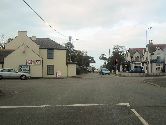
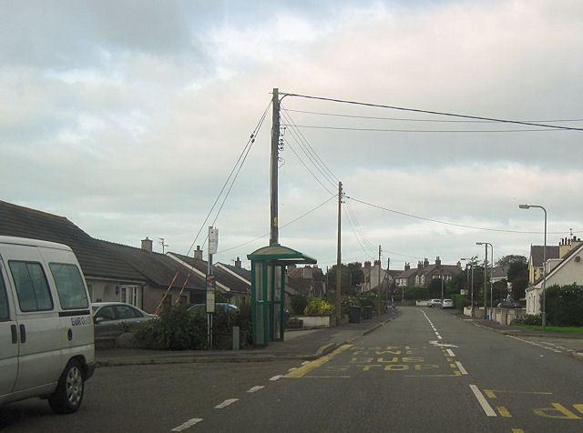
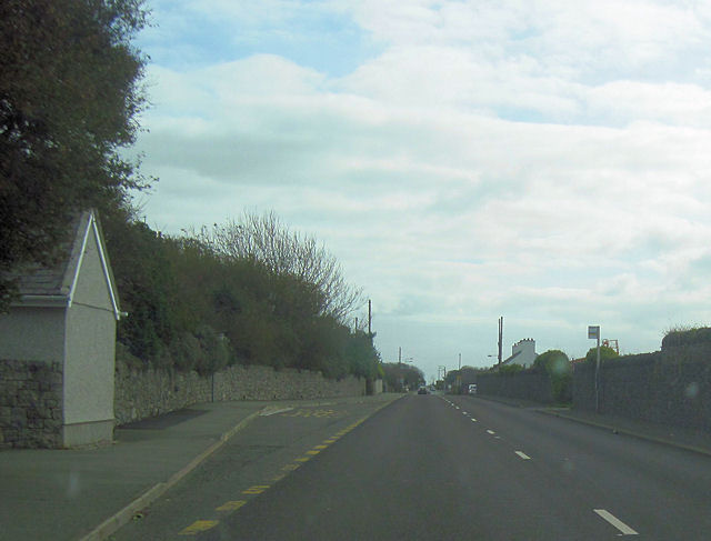
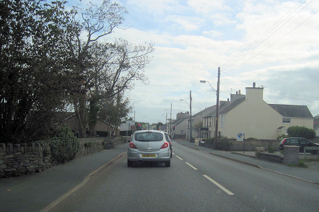
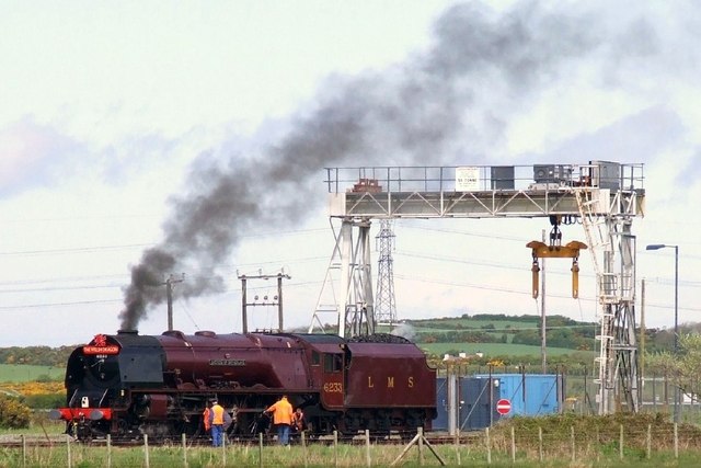
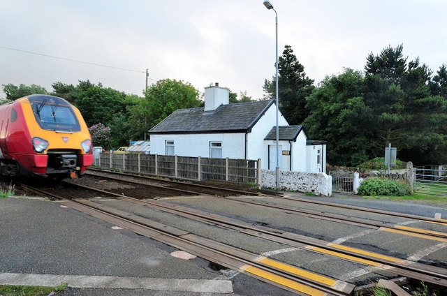
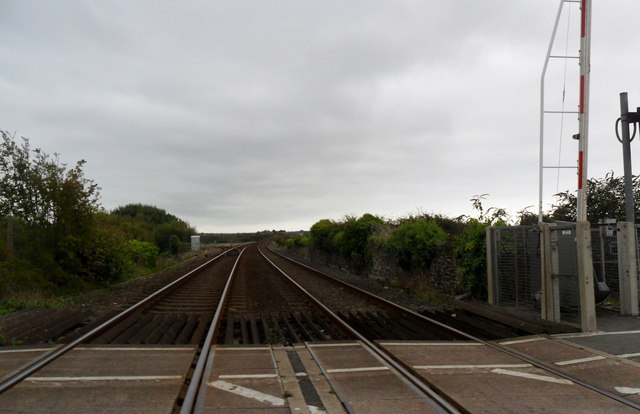
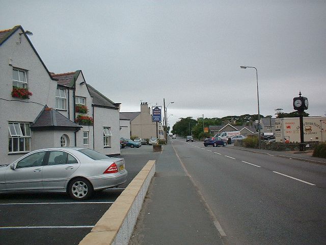
Valley Images
Images are sourced within 2km of 53.2901/-4.553588 or Grid Reference SH2980. Thanks to Geograph Open Source API. All images are credited.


Valley is located at Grid Ref: SH2980 (Lat: 53.2901, Lng: -4.553588)
Unitary Authority: Isle of Anglesey
Police Authority: North Wales
Also known as: Y Fali
What 3 Words
///over.junction.weeps. Near Valley, Isle of Anglesey
Nearby Locations
Related Wikis
Valley, Anglesey
Valley (Welsh: Y Fali) is a village, community, and former electoral ward near Holyhead on the west coast of Anglesey, North Wales. The population during...

Valley Rural District
Valley was a rural district part of the administrative county of Anglesey, Wales from 1894 to 1974. The district was formed by the Local Government Act...
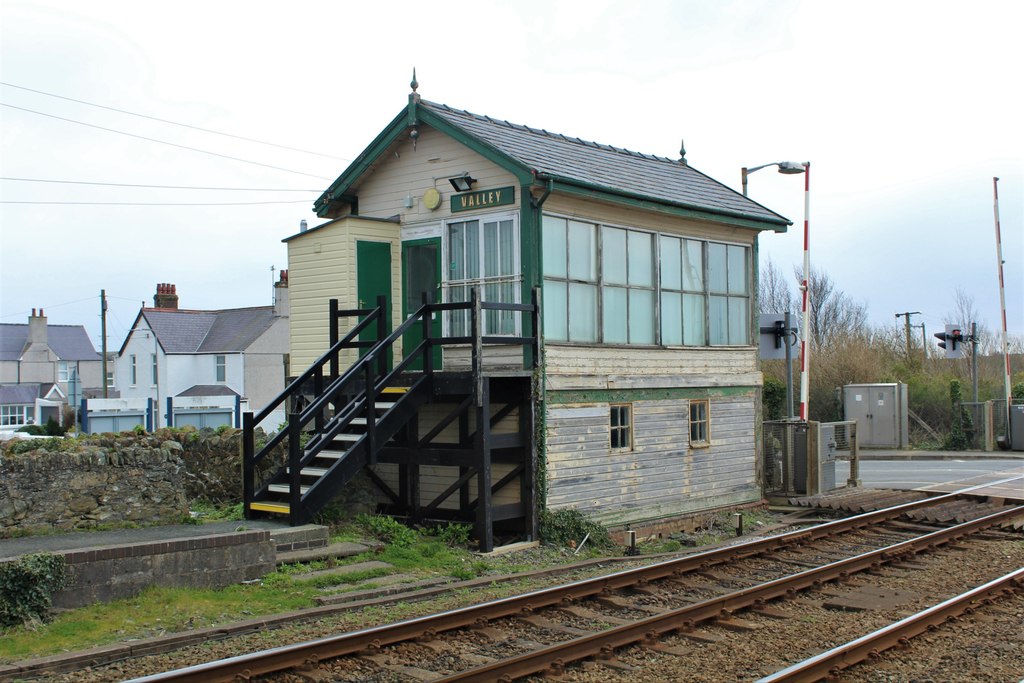
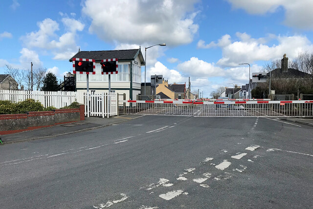
Valley Station Signal Box, Anglesey
Valley Station signal box is a Grade II listed, 2-story, timber built signal box located near the railway station in Valley, Anglesey. Located directly...

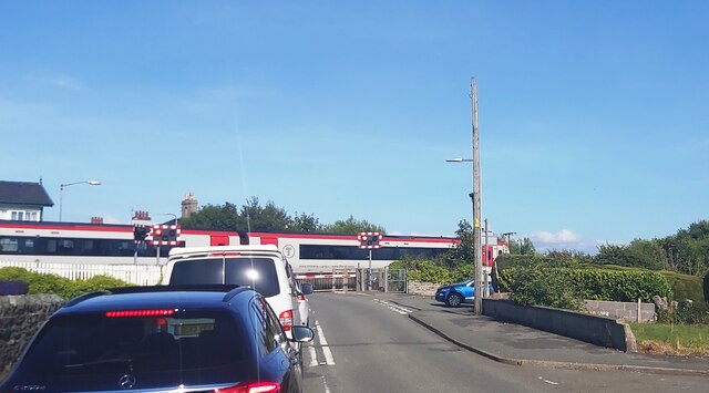
Valley railway station
Valley railway station (Welsh: Gorsaf reilffordd y Fali) is a railway station that serves the village of Valley in Anglesey, Wales. It is the last station...
Nearby Amenities
Located within 500m of 53.2901,-4.553588Have you been to Valley?
Leave your review of Valley below (or comments, questions and feedback).