Bridgend
Settlement in Glamorgan
Wales
Bridgend
Bridgend, located in the county of Glamorgan, is a town in South Wales, United Kingdom. With a population of approximately 40,000 people, it serves as the administrative center for the Bridgend County Borough. The town is situated at the convergence of the rivers Ogmore and Llynfi, offering beautiful natural landscapes and a rich history.
Historically, Bridgend was known for its industrial activity, particularly coal mining and ironworks. These industries played a significant role in shaping the town's growth and economy during the 19th and early 20th centuries. Today, Bridgend has transitioned into a more diversified economy, with sectors like manufacturing, technology, and service industries contributing to its growth.
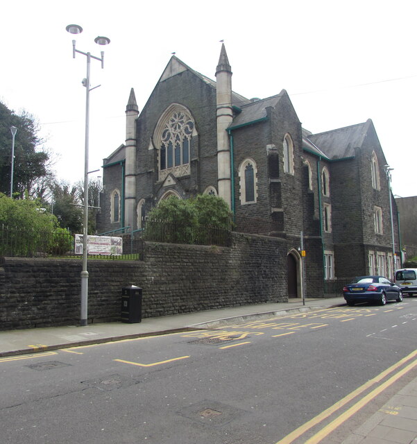
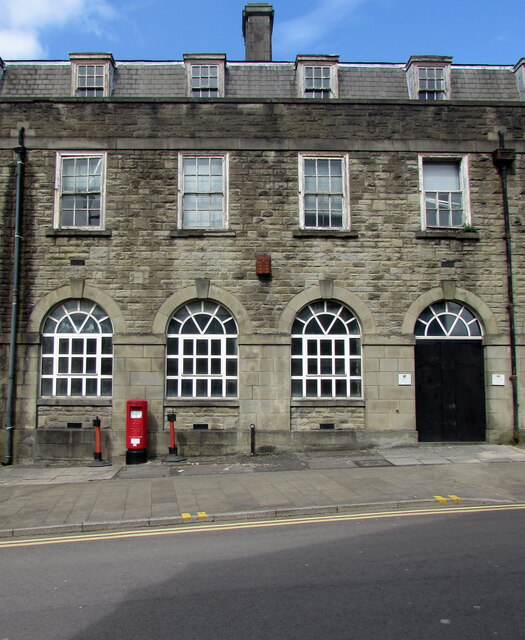
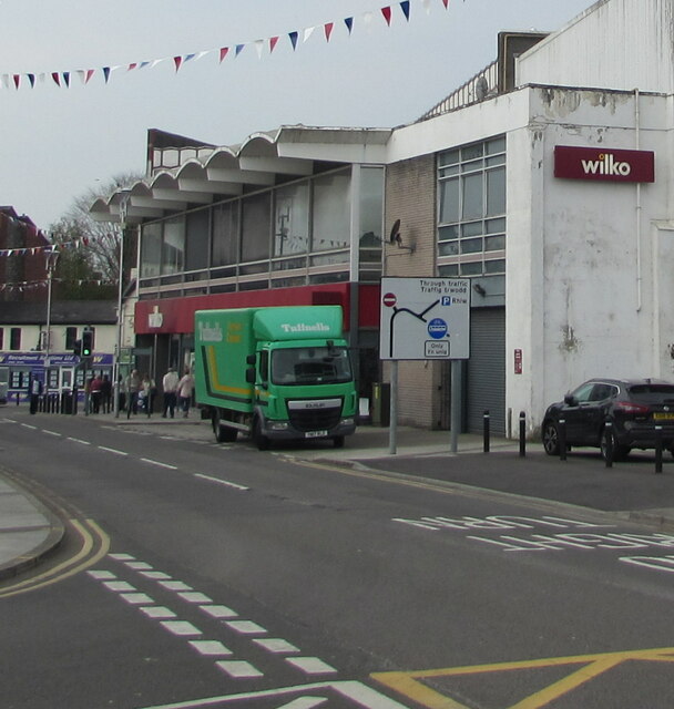
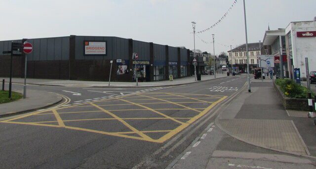
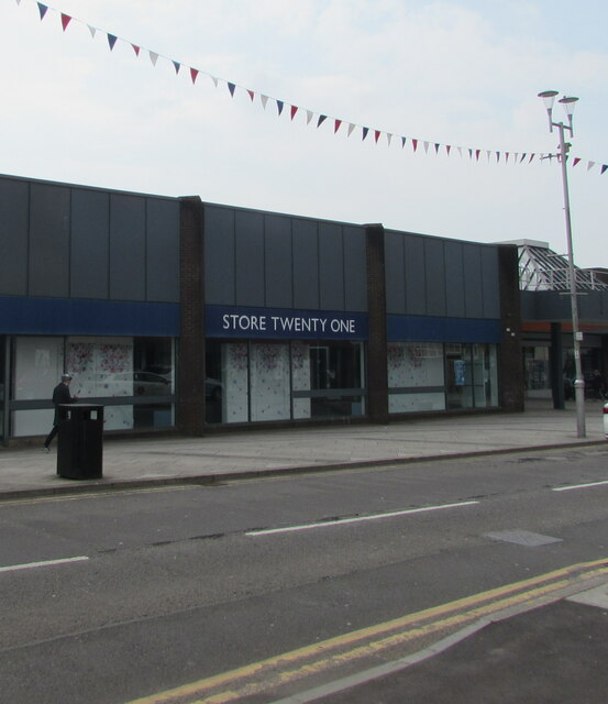
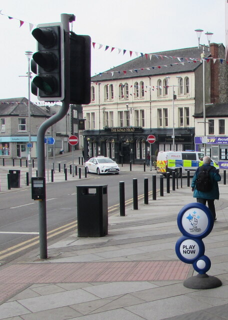
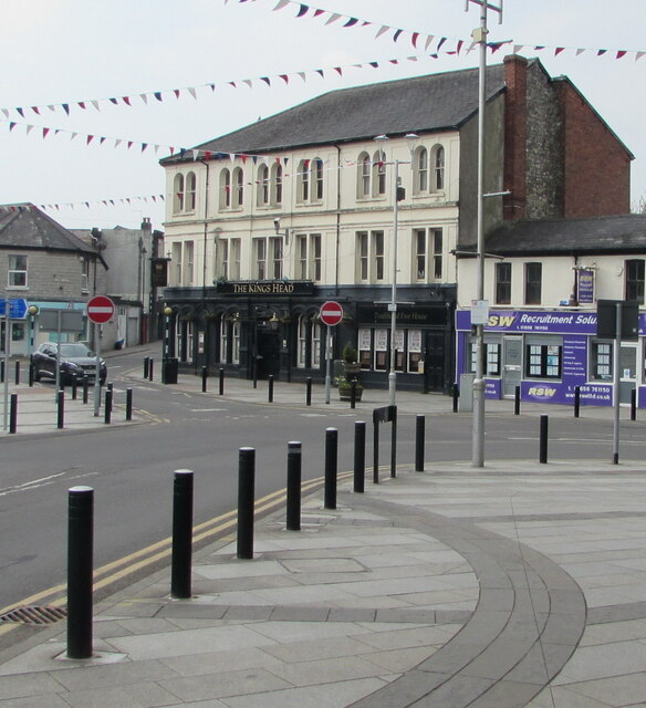
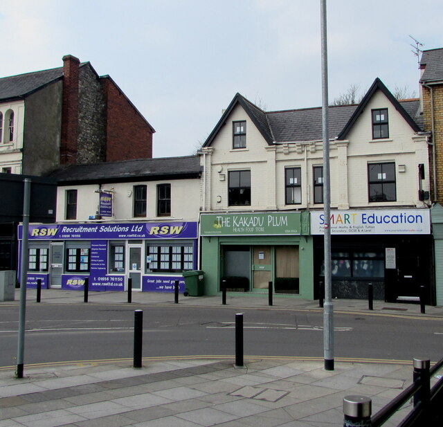
Bridgend boasts several attractions and amenities that cater to both residents and visitors. The town center offers a range of shops, restaurants, and cafes, providing a vibrant and bustling atmosphere. The town's market, which has operated for over 150 years, is a popular destination for those seeking fresh produce and local goods.
Nature enthusiasts can explore the surrounding countryside, which includes beautiful countryside walks and scenic trails along the rivers. Nearby attractions include the Ogmore Castle, a medieval fortress situated on the banks of the River Ogmore, and the Merthyr Mawr sand dunes, which are among the highest in Europe.
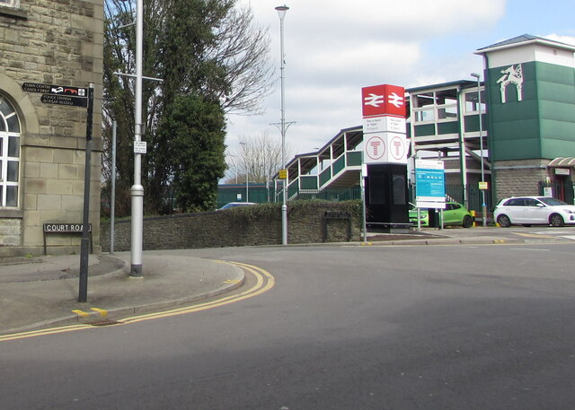
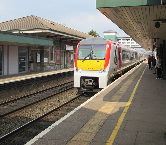
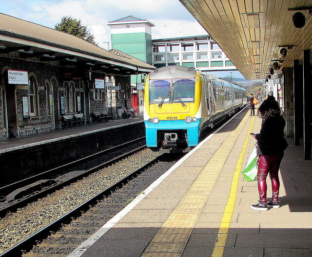
Bridgend is well-connected to other parts of Wales and the UK through its railway station and proximity to the M4 motorway, allowing for easy travel to Cardiff, Swansea, and beyond. The town also benefits from excellent educational facilities, including several primary and secondary schools, as well as Bridgend College, which offers a wide range of further education courses.
Overall, Bridgend is a charming town with a rich history, beautiful natural surroundings, and a thriving community that combines the best of the past and present.
If you have any feedback on the listing, please let us know in the comments section below.
Bridgend Images
Images are sourced within 2km of 51.50775/-3.578191 or Grid Reference SS9079. Thanks to Geograph Open Source API. All images are credited.

Bridgend is located at Grid Ref: SS9079 (Lat: 51.50775, Lng: -3.578191)
Unitary Authority: Bridgend
Police Authority: South Wales
Also known as: Pen-y-bont ar Ogwr
What 3 Words
///lows.leader.hint. Near Bridgend
Nearby Locations
Related Wikis

Bridgend
Bridgend (English: ; Welsh: Pen-y-bont ar Ogwr or just Pen-y-bont, meaning "the end of the bridge on the Ogmore") is a town in the Bridgend County Borough...

Ogwr
The Borough of Ogwr was one of six districts of Mid Glamorgan in Wales, which existed from 1974 to 1996. == History == It was formed under the Local Government...

Bridgend County Borough
Bridgend County Borough (Welsh: Bwrdeistref Sirol Pen-y-bont ar Ogwr) is a county borough in the south-east of Wales. The county borough has a total population...

Old Bridge, Bridgend
The Old Bridge (Welsh: Yr Hen Bont) is a medieval two arched stone footbridge that spans the River Ogmore at Bridgend in Wales. It is not known who designed...

Bridgend (Senedd constituency)
Bridgend (Welsh: Pen-y-bont ar Ogwr) is a constituency of the Senedd. It elects one Member of the Senedd by the first past the post method of election...
Bridgend (UK Parliament constituency)
Bridgend (Welsh: Pen-y-bont ar Ogwr) is a constituency represented in the House of Commons of the UK Parliament since 2019 by Jamie Wallis, a Conservative...

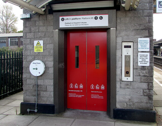
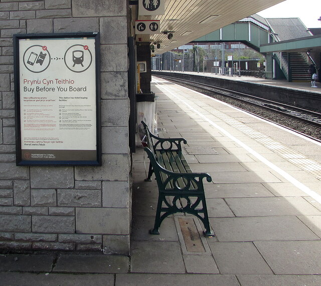
Bridgend railway station
Bridgend railway station (Welsh: Gorsaf Pen-y-bont) is a main line station serving the town of Bridgend, south Wales. It is located approximately halfway...

Bridgend (community)
Bridgend is a community in Bridgend County Borough, south Wales. Along with the communities of Brackla, Coychurch Lower and Laleston it makes up the town...
Nearby Amenities
Located within 500m of 51.50775,-3.578191Have you been to Bridgend?
Leave your review of Bridgend below (or comments, questions and feedback).