Bridgend
Settlement in Gloucestershire Stroud
England
Bridgend
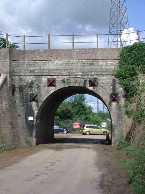
Bridgend is a small village situated in the county of Gloucestershire, England. It is located approximately 7 miles south of Gloucester and 4 miles north of Stroud. Historically, Bridgend was an important crossing point over the River Frome, and its name originates from the bridge that was built there in ancient times.
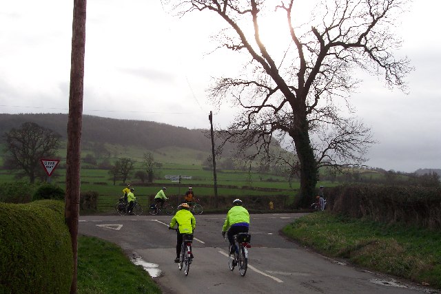
The village is surrounded by picturesque countryside, with rolling hills and lush green fields, making it an ideal location for those seeking a tranquil and rural lifestyle. It is part of the Cotswolds Area of Outstanding Natural Beauty, renowned for its stunning landscapes and charming villages.
Bridgend itself has a small population, with only a handful of houses and a local pub. The village retains a sense of community spirit, and residents often gather at the pub for socializing and events. The pub serves as a focal point for the village, providing a place for locals to meet and enjoy each other's company.
The village is also home to Bridgend Primary School, a small but well-regarded educational institution that serves the local community. Children from surrounding areas may also attend the school, contributing to its diverse student body.
Bridgend's location offers easy access to the nearby towns of Gloucester and Stroud, where residents can find a wider range of amenities such as shops, supermarkets, and leisure facilities. The village is well-connected by road, with the A38 passing nearby, providing links to major cities like Bristol and Birmingham.
Overall, Bridgend is a charming and peaceful village, nestled in the beautiful Gloucestershire countryside, offering a tight-knit community and easy access to nearby amenities.
If you have any feedback on the listing, please let us know in the comments section below.
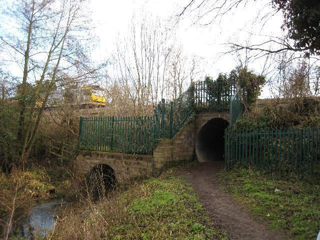
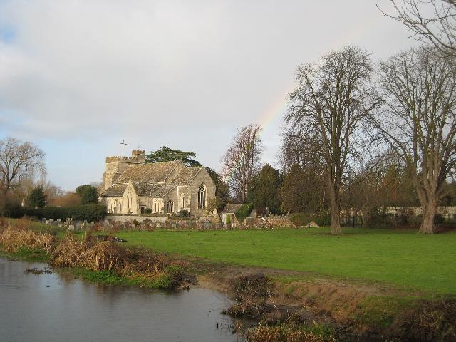
Bridgend Images
Images are sourced within 2km of 51.739887/-2.288172 or Grid Reference SO8004. Thanks to Geograph Open Source API. All images are credited.


Bridgend is located at Grid Ref: SO8004 (Lat: 51.739887, Lng: -2.288172)
Administrative County: Gloucestershire
District: Stroud
Police Authority: Gloucestershire
What 3 Words
///scorpions.irritate.division. Near Stonehouse, Gloucestershire
Nearby Locations
Related Wikis
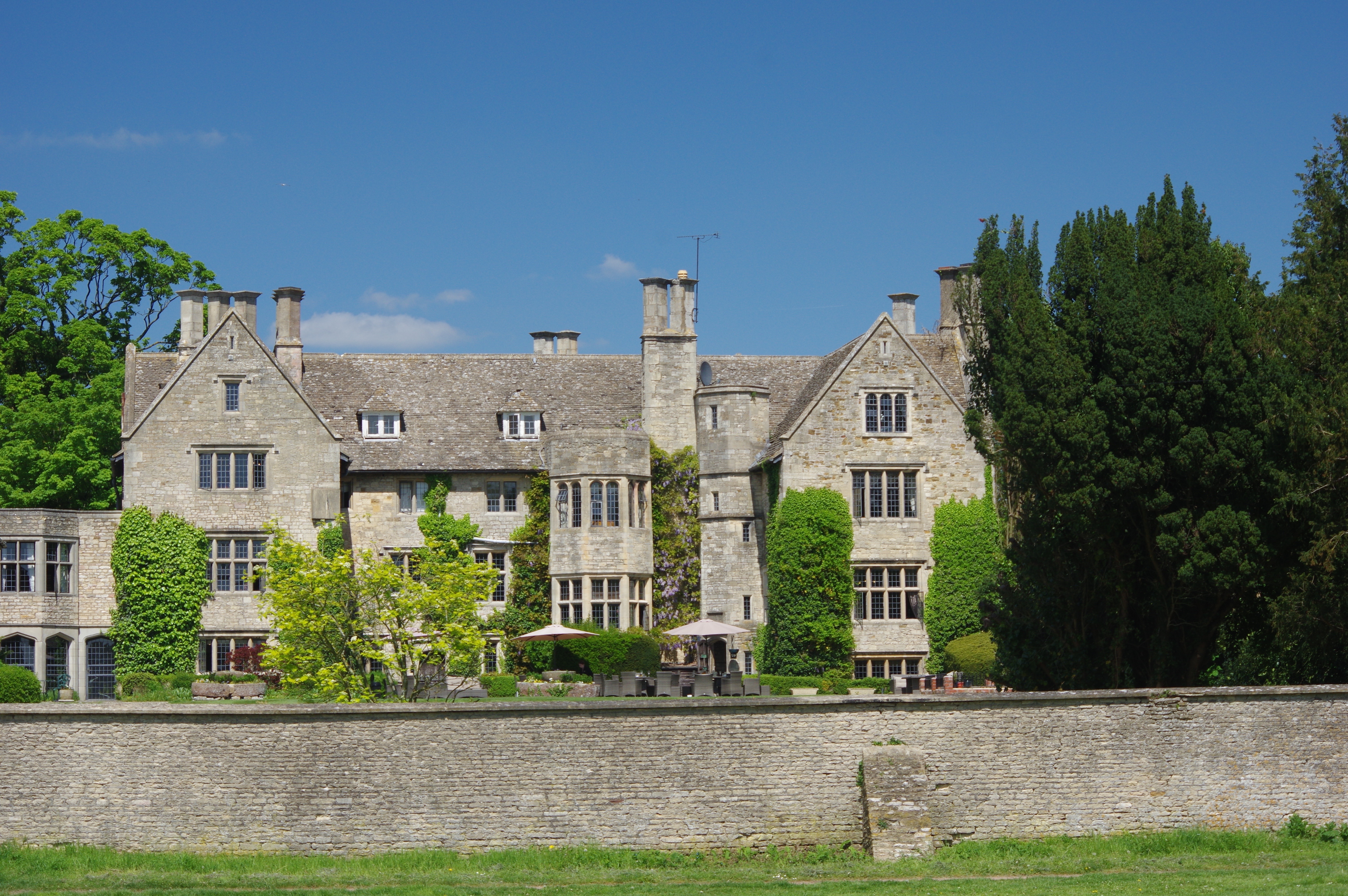
Stonehouse Court Hotel
The Stonehouse Court is a Grade II* listed manor house in Stonehouse, Gloucestershire, England which is now a hotel. It is located next to St Cyr's Church...

Wycliffe College, Gloucestershire
Wycliffe College is a public school (co-educational, private, boarding and day school) in Stonehouse, Gloucestershire, England, founded in 1882 by G....
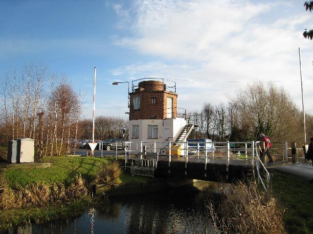
Stonehouse (Bristol Road) railway station
Stonehouse (Bristol Road) railway station, also known as Stroudwater station after the nearby canal, was a station in Stonehouse, England, on the Bristol...
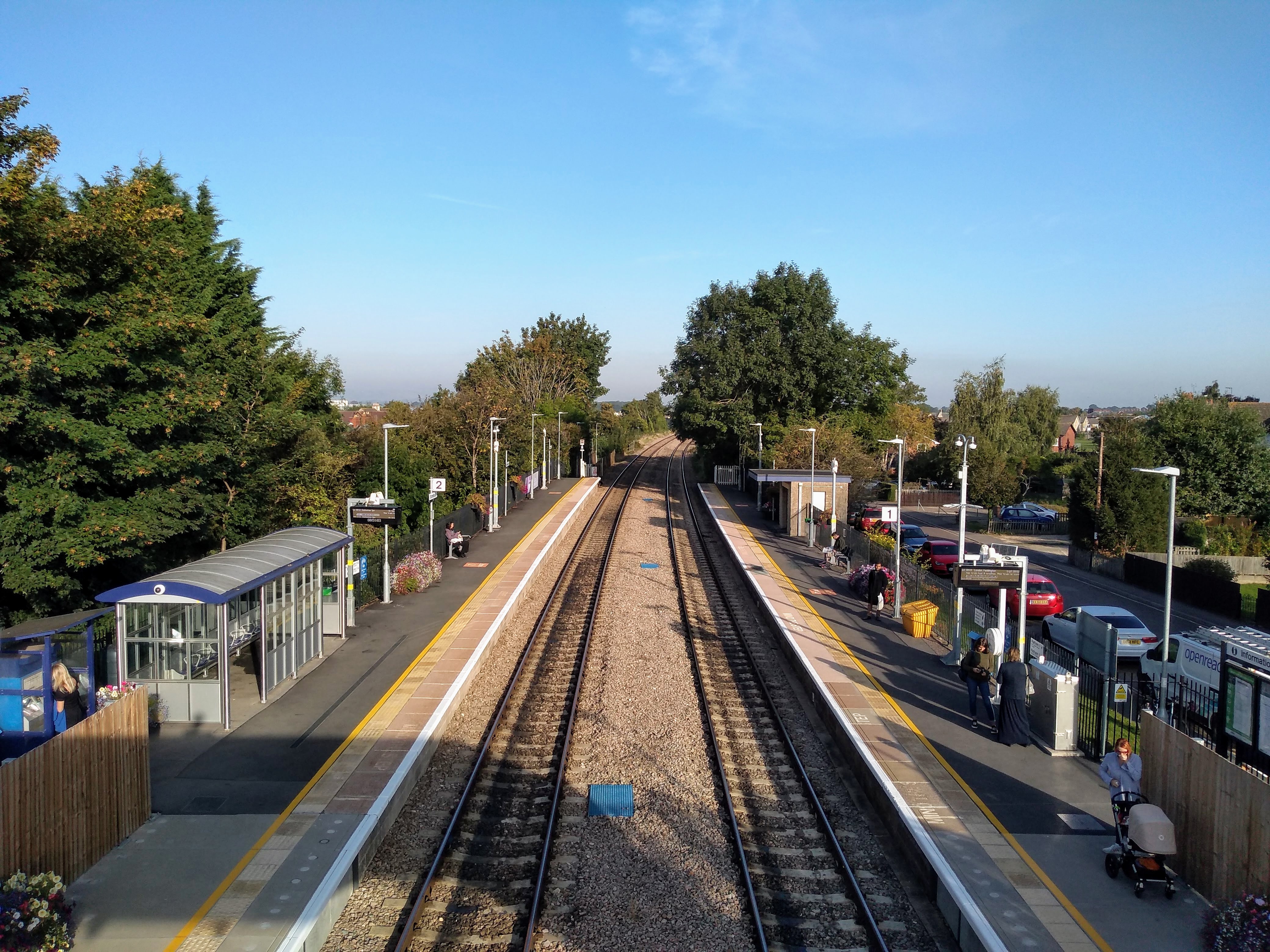
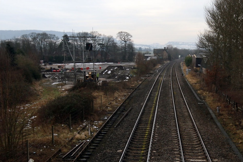
Stonehouse railway station
Stonehouse railway station serves the town of Stonehouse in Gloucestershire, England. The station is a stop on the Golden Valley Line between Swindon and...
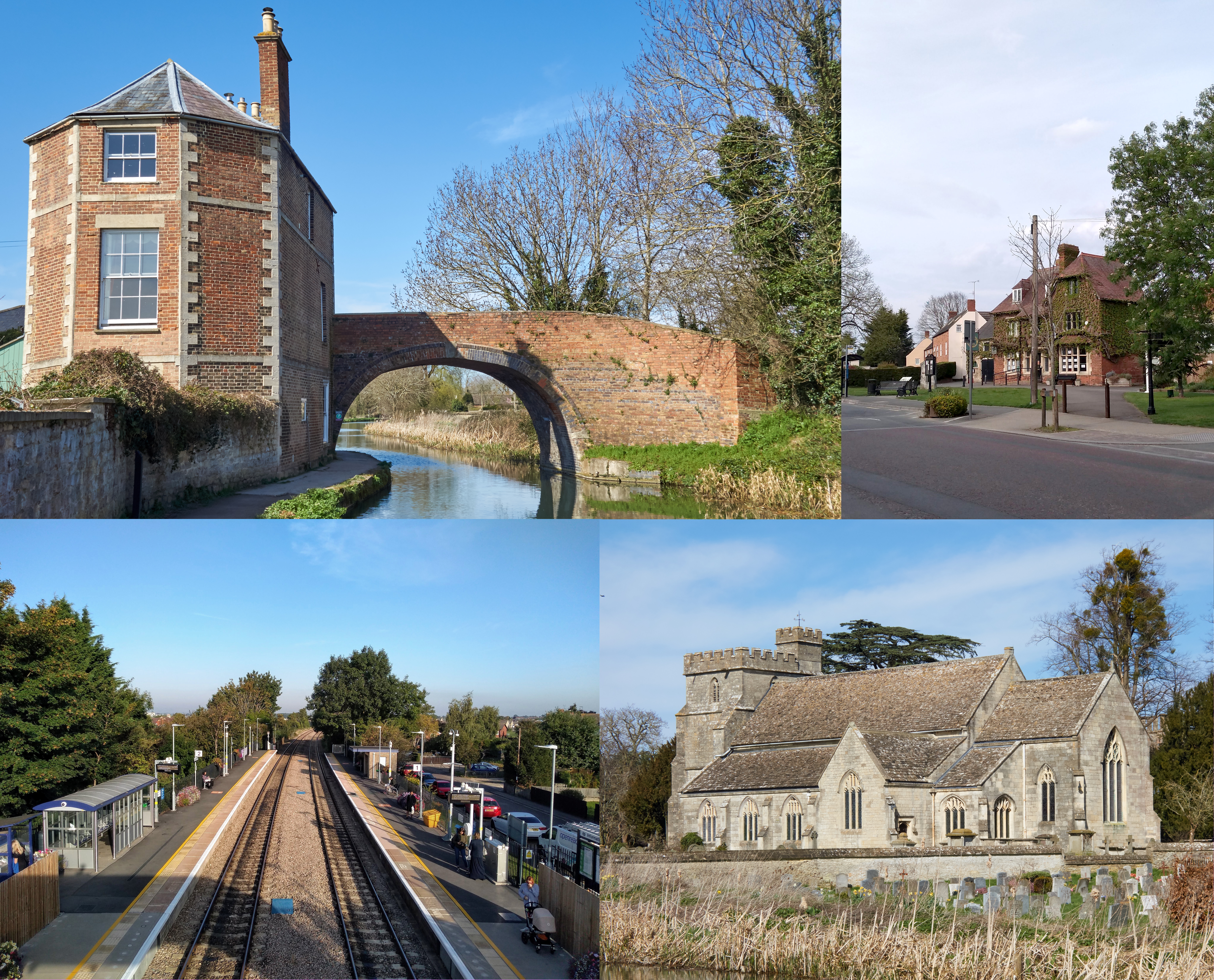
Stonehouse, Gloucestershire
Stonehouse is a town in the Stroud District of Gloucestershire in southwestern England. The town centre is 2.5 miles east of the M5 motorway, junction...

Stanley Mills
The Stanley Mills woollen mill at Ryeford, near Stonehouse, Gloucestershire, England was built in the early 19th century. The main building is Grade I...
The Gatehouse at Bonds Mill
The Gatehouse at Bonds Mill at Stonehouse, Gloucestershire, England, was constructed during World War II as a defensive pillbox as part of the Stop Line...

Five Acre Grove
Five Acre Grove (grid reference SO791043) is a 5-hectare (12-acre) nature reserve in Leonard Stanley, Gloucestershire. The site is listed in the 'Cotswold...
Nearby Amenities
Located within 500m of 51.739887,-2.288172Have you been to Bridgend?
Leave your review of Bridgend below (or comments, questions and feedback).