Bridgend

Settlement in Aberdeenshire

Scotland

Bridgend

Farm road to Edendiack
Farm road to Edendiack Credit: Steven Brown

Bridgend is a small village located in Aberdeenshire, Scotland, situated on the banks of the River Dee. It is positioned approximately 20 miles west of Aberdeen, making it an ideal location for commuters who work in the city but prefer a more rural lifestyle.

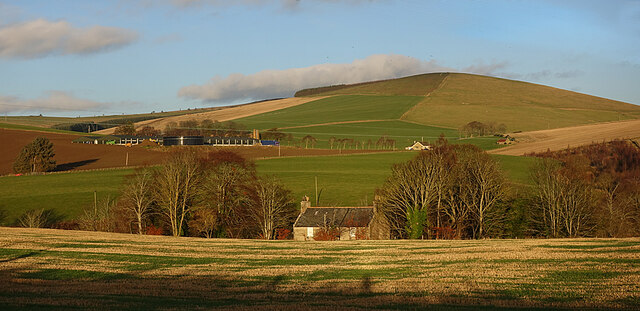
The village of Bridgend has a population of around 500 residents, giving it a close-knit and friendly community atmosphere. The picturesque surroundings of the River Dee, rolling hills, and verdant countryside make it an attractive place for outdoor enthusiasts and nature lovers.

In terms of amenities, Bridgend offers a range of facilities to cater to the needs of its residents. These include a primary school, a community center, a post office, and a local grocery store. The village also boasts a couple of charming pubs and restaurants, providing a social hub for locals and visitors alike.

For those interested in history, Bridgend is home to the iconic Brig o' Dee, a historic bridge that dates back to the 16th century. This bridge not only serves as a functional crossing point but also stands as a significant landmark in the area.

Bridgend's location is advantageous for those seeking easy access to both rural and urban amenities. The nearby city of Aberdeen offers a wide range of shopping, dining, and entertainment options, while the surrounding countryside provides opportunities for activities such as walking, fishing, and golfing.

Overall, Bridgend, Aberdeenshire, is a charming village that combines the tranquility of rural living with the convenience of nearby city amenities.

If you have any feedback on the listing, please let us know in the comments section below.
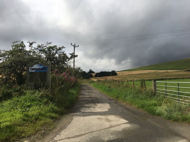
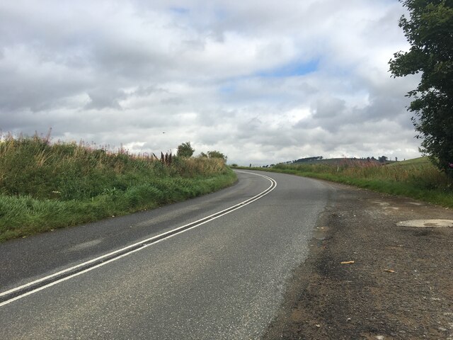
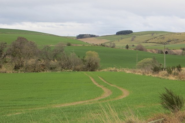
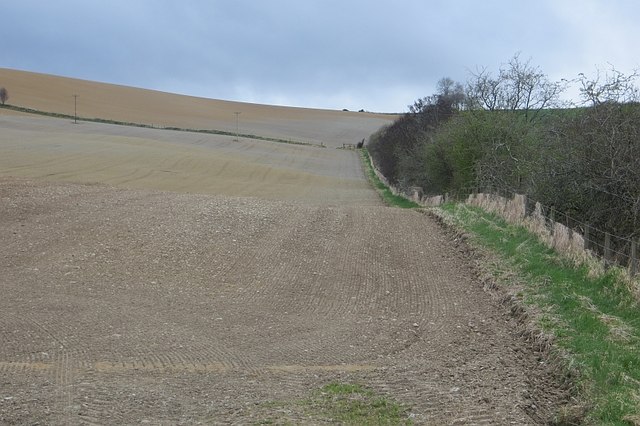
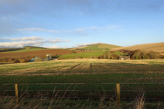
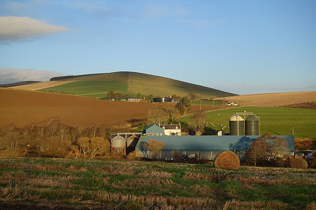
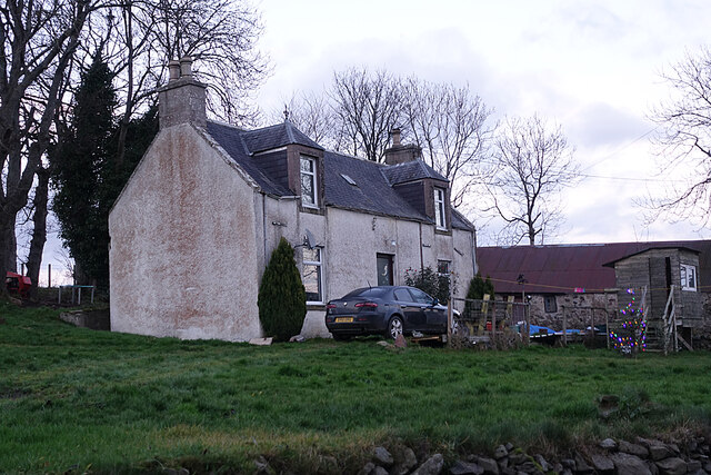
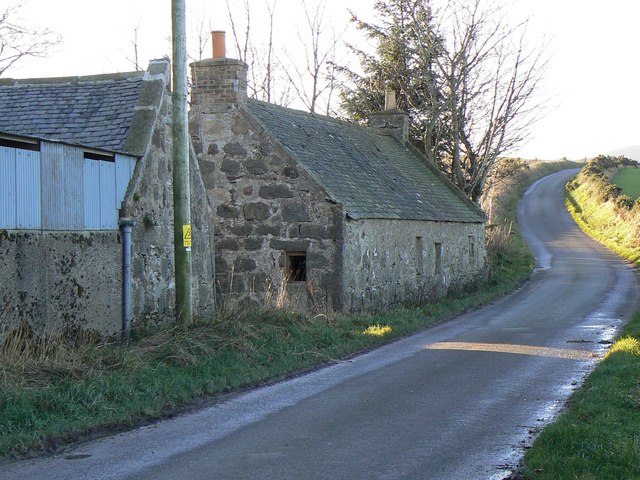
Bridgend Images

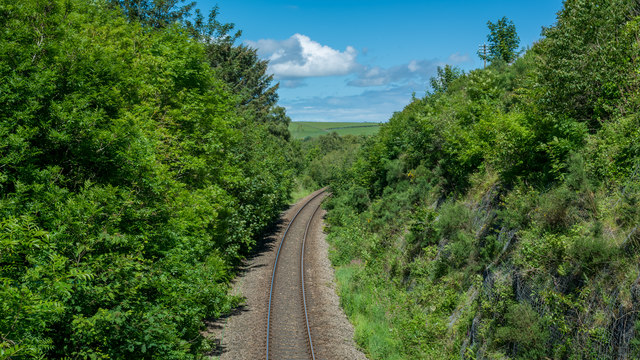
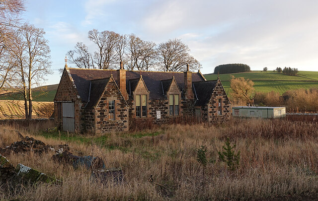
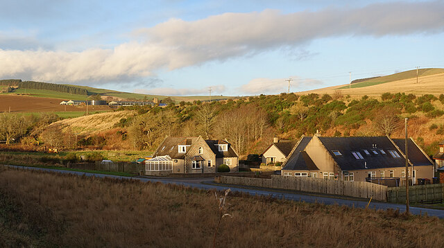
Images are sourced within 2km of 57.410186/-2.802591 or Grid Reference NJ5135. Thanks to Geograph Open Source API. All images are credited.

Farm road to Edendiack
A97 towards Huntly
A97 towards Huntly
Arable land, Strathbogie Field beside the River Bogie.
Arable land, Strathbogie
Field beside the River Bogie.
Edendiack Arable land in Strathbogie.
Edendiack
Arable land in Strathbogie.
Old Milestone by the A97, Culdrain, Gartly parish Stone post by the A97, in parish of Gartly (District), Culdrain, straight road with double white lines.

Inscription reads:-
43
(To Aberdeen)
Carved bench mark and rivet on top.

Surveyed

Milestone Society National ID: AD_ALHN43
Old Milestone by the A97, Culdrain, Gartly parish
Stone post by the A97, in parish of Gartly (District), Culdrain, straight road with double white lines. Inscription reads:- 43 (To Aberdeen) Carved bench mark and rivet on top. Surveyed Milestone Society National ID: AD_ALHN43
Line near Gartly Mill
Fields near Burncruinach Farm
Former School The building is instantly recognisable as a school, but it is now disused and for sale.
Former School
The building is instantly recognisable as a school, but it is now disused and for sale.
New Houses A small development of new houses beside Gartly Village Hall. Behind them are the Braes of Bucharn on the other bank of the Ness Bogie. The big farm up the hill is Brawlandknowes.
New Houses
A small development of new houses beside Gartly Village Hall. Behind them are the Braes of Bucharn on the other bank of the Ness Bogie. The big farm up the hill is Brawlandknowes.
Bridgend and Brawlandknowes The building that looks like a cottage is in fact the upper storeys of the West Manse at Bridgend. Just to the right of it is Muirside, with Clashmach Hill on the skyline above. Brawlandknowes is the big farm to the left.
Bridgend and Brawlandknowes
The building that looks like a cottage is in fact the upper storeys of the West Manse at Bridgend. Just to the right of it is Muirside, with Clashmach Hill on the skyline above. Brawlandknowes is the big farm to the left.
Looking towards Clashmach Hill Clashmach Hill is on the skyline to the right, and Brawlandknowes is on its lower slope. Further down to the left is Mill of Bridgend. The hill with forest on the summit is Gallow Hill.
Looking towards Clashmach Hill
Clashmach Hill is on the skyline to the right, and Brawlandknowes is on its lower slope. Further down to the left is Mill of Bridgend. The hill with forest on the summit is Gallow Hill.
Collithie Mill The extensive buildings in the foreground are at Collithie Mill. on the hill above is Brawlandknowes, with Clashmach Hill beyond. The house in line with the silos is Muirside.
Collithie Mill
The extensive buildings in the foreground are at Collithie Mill. on the hill above is Brawlandknowes, with Clashmach Hill beyond. The house in line with the silos is Muirside.
Strathbogie Panorama Of course it's not really a panorama, because it doesn't take in a full 360º. On the left is Dunscroft, with the Hill of Bogairdy beyond it. The hill to the right of it is Gallow Hill, and right again is Clashmach Hill. Brawlandknowes is on the right.
Strathbogie Panorama
Of course it's not really a panorama, because it doesn't take in a full 360º. On the left is Dunscroft, with the Hill of Bogairdy beyond it. The hill to the right of it is Gallow Hill, and right again is Clashmach Hill. Brawlandknowes is on the right.
Dunscroft The big farm is Dunscroft. Behind to the left is the Hill of Bogairdy, and to the right is Gallow Hill.
Dunscroft
The big farm is Dunscroft. Behind to the left is the Hill of Bogairdy, and to the right is Gallow Hill.
Dunscroft The farm buildings at Dunscroft, and Gallow Hill above.
Dunscroft
The farm buildings at Dunscroft, and Gallow Hill above.
Burncruinach The house stands above and behind the steading, away from the road.
Burncruinach
The house stands above and behind the steading, away from the road.
Cottages at Dunscroft When you get close to these cottages you see that they are abandoned and beginning to become derelict.
Cottages at Dunscroft
When you get close to these cottages you see that they are abandoned and beginning to become derelict.
Collithie Mill The farm house stands across the road from the steading.
Collithie Mill
The farm house stands across the road from the steading.
Show me another place!

Bridgend is located at Grid Ref: NJ5135 (Lat: 57.410186, Lng: -2.802591)

Unitary Authority: Aberdeenshire

Police Authority: North East

What 3 Words

///bolsters.canines.informer. Near Huntly, Aberdeenshire

Nearby Locations

Bridgend Braes of Bucharn

Related Wikis

Nearby Amenities

Located within 500m of 57.410186,-2.802591
Bridgend
Alt Name: Bridgend of Gartly
Place: hamlet
Lat/Long: 57.4103457/-2.8046279
Power: pole
Lat/Long: 57.4142667/-2.8039431
Power: pole
Lat/Long: 57.4135057/-2.8041036
Power: pole
Lat/Long: 57.4128019/-2.8042912
Power: pole
Lat/Long: 57.4120956/-2.8044518
Power: pole
Lat/Long: 57.411432/-2.8045965
Power: pole
Lat/Long: 57.4106783/-2.8050117
Power: pole
Lat/Long: 57.4098944/-2.8053885
Power: pole
Lat/Long: 57.4093236/-2.8056994
Power: pole
Lat/Long: 57.4087333/-2.8059882
Power: pole
Lat/Long: 57.4081616/-2.8062944
Power: pole
Lat/Long: 57.407507/-2.8063446
Power: pole
Lat/Long: 57.4068169/-2.8063917
Power: pole
Lat/Long: 57.4113991/-2.8054081
Power: pole
Lat/Long: 57.4121967/-2.805286
Power: pole
Lat/Long: 57.4131818/-2.8051458
Power: pole
Lat/Long: 57.4139781/-2.8050396
Power: pole
Lat/Long: 57.4070165/-2.8076022
Power: pole
Lat/Long: 57.4079079/-2.8069805
Power: pole
Lat/Long: 57.4085117/-2.8065754
Power: pole
Lat/Long: 57.4092576/-2.8060762
Power: pole
Lat/Long: 57.4101185/-2.8055612
Power: pole
Lat/Long: 57.4103789/-2.8055486
Power: pole
Lat/Long: 57.4099401/-2.8055879
Power: pole
Lat/Long: 57.4099477/-2.8052127
Power: pole
Lat/Long: 57.4099637/-2.8045218
Power: pole
Lat/Long: 57.4099739/-2.8040744
Power: pole
Lat/Long: 57.4099925/-2.8033695
Power: pole
Lat/Long: 57.4097667/-2.8019721
Power: pole
Lat/Long: 57.4095511/-2.800837
Power: pole
Lat/Long: 57.4092348/-2.7949299
Power: pole
Lat/Long: 57.4092187/-2.7960147
Power: pole
Lat/Long: 57.409305/-2.7968296
Power: pole
Lat/Long: 57.4094039/-2.7978014
Power: pole
Lat/Long: 57.4095181/-2.7988722
Power: pole
Lat/Long: 57.4096221/-2.7998393
Power: pole
Lat/Long: 57.4097041/-2.8005756
Power: pole
Lat/Long: 57.4088678/-2.7964229
Power: pole
Lat/Long: 57.4083688/-2.7969222
Power: pole
Lat/Long: 57.4079257/-2.7971499
Mill of Gartly
Place: isolated_dwelling
Lat/Long: 57.4078303/-2.7976037
Bus Stop
Bridge of Nessbogie
Bus: yes
Naptan AtcoCode: 630030461
Naptan Bearing: N
Naptan CommonName: Bridge of Nessbogie
Naptan Indicator: N-bound
Naptan NaptanCode: 23623467
Naptan Street: A97
Naptan Verified: no
Public Transport: platform
Source: naptan;bing;naptan_compare_tool
Lat/Long: 57.4103281/-2.8010349
The data included in this document is from www.openstreetmap.org. The data is made available under ODbL.

Have you been to Bridgend?

Leave your review of Bridgend below (or comments, questions and feedback).