Braes of Bucharn

Downs, Moorland in Aberdeenshire

Scotland

Braes of Bucharn

Farm road to Edendiack
Farm road to Edendiack Credit: Steven Brown

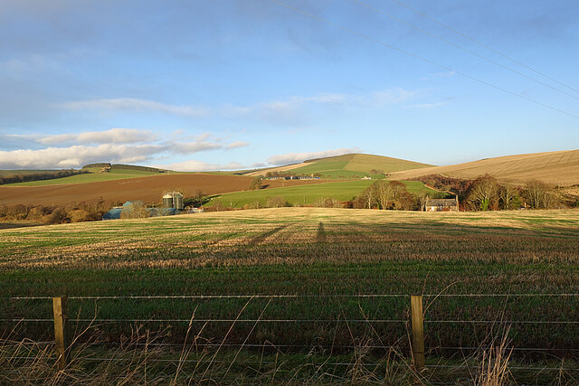
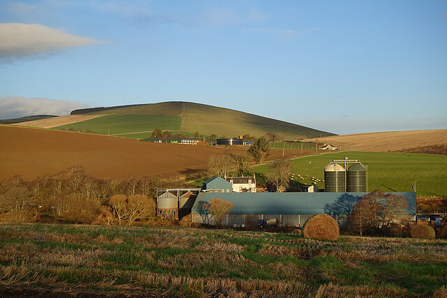
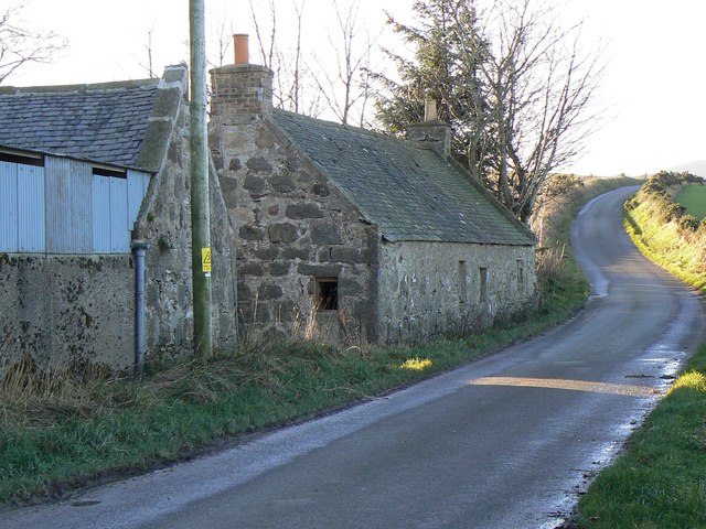
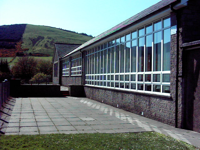
Braes of Bucharn is a picturesque region located in Aberdeenshire, Scotland. Nestled amidst the stunning Scottish countryside, it is renowned for its enchanting downs and moorland landscapes. Spanning approximately 200 square miles, Braes of Bucharn offers a diverse range of natural beauty and outdoor activities.

The downs of Braes of Bucharn are characterized by rolling hills covered in lush greenery, creating a serene and tranquil atmosphere. Visitors can indulge in long walks or hikes, exploring the vast expanses of the downs and taking in panoramic views of the surrounding countryside. The area is home to an array of wildlife, including red deer, golden eagles, and various species of birds, making it a paradise for nature enthusiasts and photographers.

The moorland of Braes of Bucharn is equally captivating, with its vast expanse of heather-clad hills stretching as far as the eye can see. The purple hue of the heather in full bloom adds a touch of magic to the landscape, particularly during late summer and early autumn. This is also a prime spot for birdwatching, with species such as grouse and curlew commonly spotted.

Braes of Bucharn is a haven for outdoor activities, including hiking, cycling, and horseback riding, with well-maintained trails and paths available for use. Additionally, there are several picnic areas and viewpoints where visitors can relax and soak in the beauty of the surroundings.

In summary, Braes of Bucharn in Aberdeenshire is a captivating region, offering a perfect combination of downs and moorland landscapes. It provides a sanctuary for nature lovers and outdoor enthusiasts, with its diverse wildlife, stunning vistas, and ample opportunities for exploration and adventure.

If you have any feedback on the listing, please let us know in the comments section below.

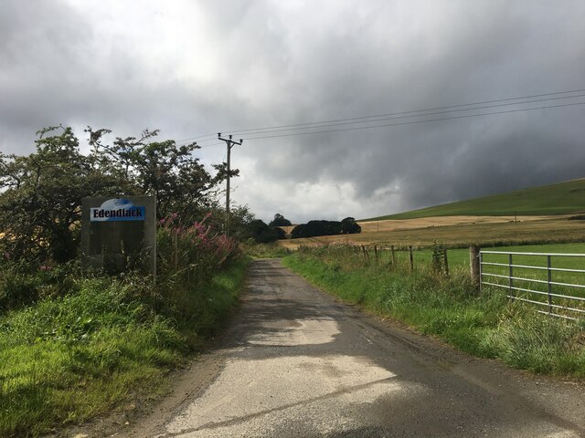
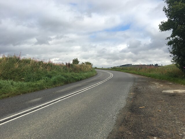
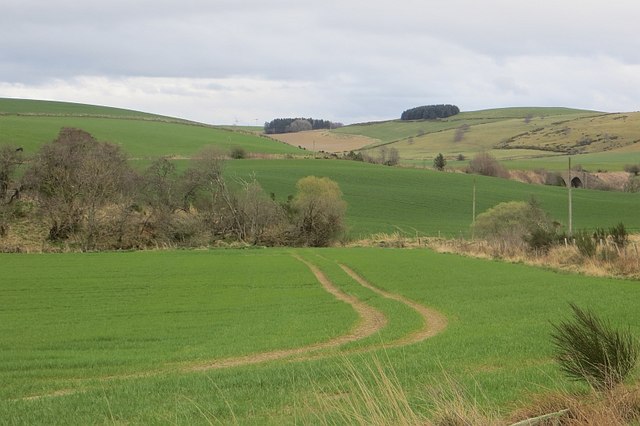
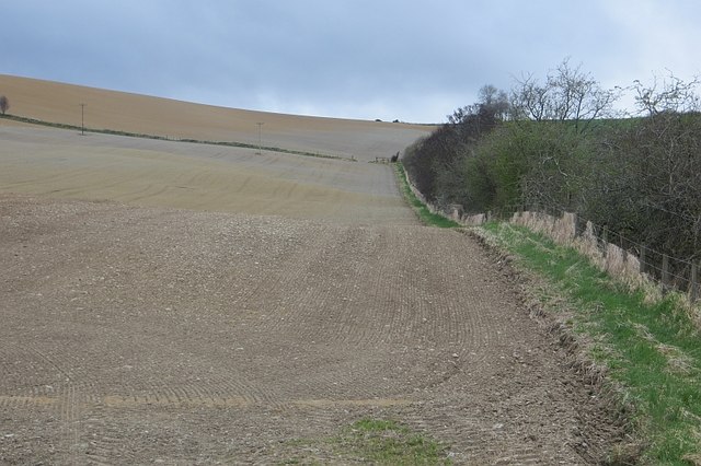
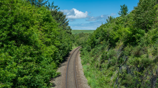
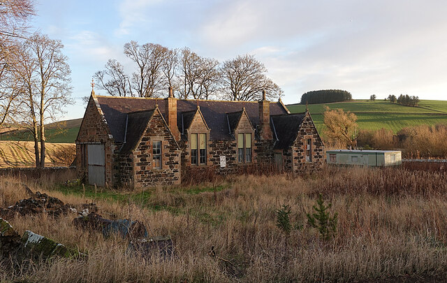
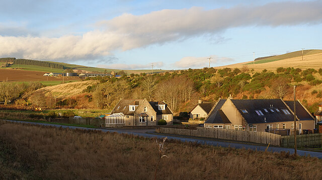
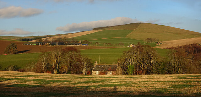
Braes of Bucharn Images

Images are sourced within 2km of 57.411103/-2.8048296 or Grid Reference NJ5135. Thanks to Geograph Open Source API. All images are credited.

Farm road to Edendiack
A97 towards Huntly
A97 towards Huntly
St Andrew's Church
St Andrew's Church
Arable land, Strathbogie Field beside the River Bogie.
Arable land, Strathbogie
Field beside the River Bogie.
Edendiack Arable land in Strathbogie.
Edendiack
Arable land in Strathbogie.
Old Milestone by the A97, Culdrain, Gartly parish Stone post by the A97, in parish of Gartly (District), Culdrain, straight road with double white lines.

Inscription reads:-
43
(To Aberdeen)
Carved bench mark and rivet on top.

Surveyed

Milestone Society National ID: AD_ALHN43
Old Milestone by the A97, Culdrain, Gartly parish
Stone post by the A97, in parish of Gartly (District), Culdrain, straight road with double white lines. Inscription reads:- 43 (To Aberdeen) Carved bench mark and rivet on top. Surveyed Milestone Society National ID: AD_ALHN43
Line near Gartly Mill
Fields near Burncruinach Farm
Former School The building is instantly recognisable as a school, but it is now disused and for sale.
Former School
The building is instantly recognisable as a school, but it is now disused and for sale.
New Houses A small development of new houses beside Gartly Village Hall. Behind them are the Braes of Bucharn on the other bank of the Ness Bogie. The big farm up the hill is Brawlandknowes.
New Houses
A small development of new houses beside Gartly Village Hall. Behind them are the Braes of Bucharn on the other bank of the Ness Bogie. The big farm up the hill is Brawlandknowes.
Bridgend and Brawlandknowes The building that looks like a cottage is in fact the upper storeys of the West Manse at Bridgend. Just to the right of it is Muirside, with Clashmach Hill on the skyline above. Brawlandknowes is the big farm to the left.
Bridgend and Brawlandknowes
The building that looks like a cottage is in fact the upper storeys of the West Manse at Bridgend. Just to the right of it is Muirside, with Clashmach Hill on the skyline above. Brawlandknowes is the big farm to the left.
Looking towards Clashmach Hill Clashmach Hill is on the skyline to the right, and Brawlandknowes is on its lower slope. Further down to the left is Mill of Bridgend. The hill with forest on the summit is Gallow Hill.
Looking towards Clashmach Hill
Clashmach Hill is on the skyline to the right, and Brawlandknowes is on its lower slope. Further down to the left is Mill of Bridgend. The hill with forest on the summit is Gallow Hill.
Collithie Mill The extensive buildings in the foreground are at Collithie Mill. on the hill above is Brawlandknowes, with Clashmach Hill beyond. The house in line with the silos is Muirside.
Collithie Mill
The extensive buildings in the foreground are at Collithie Mill. on the hill above is Brawlandknowes, with Clashmach Hill beyond. The house in line with the silos is Muirside.
Strathbogie Panorama Of course it's not really a panorama, because it doesn't take in a full 360º. On the left is Dunscroft, with the Hill of Bogairdy beyond it. The hill to the right of it is Gallow Hill, and right again is Clashmach Hill. Brawlandknowes is on the right.
Strathbogie Panorama
Of course it's not really a panorama, because it doesn't take in a full 360º. On the left is Dunscroft, with the Hill of Bogairdy beyond it. The hill to the right of it is Gallow Hill, and right again is Clashmach Hill. Brawlandknowes is on the right.
Dunscroft The big farm is Dunscroft. Behind to the left is the Hill of Bogairdy, and to the right is Gallow Hill.
Dunscroft
The big farm is Dunscroft. Behind to the left is the Hill of Bogairdy, and to the right is Gallow Hill.
Dunscroft The farm buildings at Dunscroft, and Gallow Hill above.
Dunscroft
The farm buildings at Dunscroft, and Gallow Hill above.
Burncruinach The house stands above and behind the steading, away from the road.
Burncruinach
The house stands above and behind the steading, away from the road.
Cottages at Dunscroft When you get close to these cottages you see that they are abandoned and beginning to become derelict.
Cottages at Dunscroft
When you get close to these cottages you see that they are abandoned and beginning to become derelict.
Show me another place!

Braes of Bucharn is located at Grid Ref: NJ5135 (Lat: 57.411103, Lng: -2.8048296)

Unitary Authority: Aberdeenshire

Police Authority: North East

What 3 Words

///contoured.towns.wages. Near Huntly, Aberdeenshire

Nearby Locations

Bridgend Braes of Bucharn

Related Wikis

Nearby Amenities

Located within 500m of 57.411103,-2.8048296
Bridgend
Alt Name: Bridgend of Gartly
Place: hamlet
Lat/Long: 57.4103457/-2.8046279
Power: pole
Lat/Long: 57.4150033/-2.803778
Power: pole
Lat/Long: 57.4142667/-2.8039431
Power: pole
Lat/Long: 57.4135057/-2.8041036
Power: pole
Lat/Long: 57.4128019/-2.8042912
Power: pole
Lat/Long: 57.4120956/-2.8044518
Power: pole
Lat/Long: 57.411432/-2.8045965
Power: pole
Lat/Long: 57.4106783/-2.8050117
Power: pole
Lat/Long: 57.4098944/-2.8053885
Power: pole
Lat/Long: 57.4093236/-2.8056994
Power: pole
Lat/Long: 57.4087333/-2.8059882
Power: pole
Lat/Long: 57.4081616/-2.8062944
Power: pole
Lat/Long: 57.407507/-2.8063446
Power: pole
Lat/Long: 57.4068169/-2.8063917
Power: pole
Lat/Long: 57.4113991/-2.8054081
Power: pole
Lat/Long: 57.4121967/-2.805286
Power: pole
Lat/Long: 57.4131818/-2.8051458
Power: pole
Lat/Long: 57.4139781/-2.8050396
Power: pole
Lat/Long: 57.4147951/-2.8049265
Power: pole
Lat/Long: 57.4070165/-2.8076022
Power: pole
Lat/Long: 57.4079079/-2.8069805
Power: pole
Lat/Long: 57.4085117/-2.8065754
Power: pole
Lat/Long: 57.4092576/-2.8060762
Power: pole
Lat/Long: 57.4101185/-2.8055612
Power: pole
Lat/Long: 57.4103789/-2.8055486
Power: pole
Lat/Long: 57.4099401/-2.8055879
Power: pole
Lat/Long: 57.4099477/-2.8052127
Power: pole
Lat/Long: 57.4099637/-2.8045218
Power: pole
Lat/Long: 57.4099739/-2.8040744
Power: pole
Lat/Long: 57.4099925/-2.8033695
Power: pole
Lat/Long: 57.4097667/-2.8019721
Power: pole
Lat/Long: 57.4095511/-2.800837
Power: pole
Lat/Long: 57.4094039/-2.7978014
Power: pole
Lat/Long: 57.4095181/-2.7988722
Power: pole
Lat/Long: 57.4096221/-2.7998393
Power: pole
Lat/Long: 57.4097041/-2.8005756
Bus Stop
Bridge of Nessbogie
Bus: yes
Naptan AtcoCode: 630030461
Naptan Bearing: N
Naptan CommonName: Bridge of Nessbogie
Naptan Indicator: N-bound
Naptan NaptanCode: 23623467
Naptan Street: A97
Naptan Verified: no
Public Transport: platform
Source: naptan;bing;naptan_compare_tool
Lat/Long: 57.4103281/-2.8010349
The data included in this document is from www.openstreetmap.org. The data is made available under ODbL.

Have you been to Braes of Bucharn?

Leave your review of Braes of Bucharn below (or comments, questions and feedback).