Bridge Sollers

Settlement in Herefordshire

England

Bridge Sollers

Byford church Byford church is dedicated to St John the Baptist.
Byford church Credit: Philip Halling

Bridge Sollers is a small village located in the county of Herefordshire, England. Situated on the banks of the River Wye, it is nestled in the picturesque Wye Valley, renowned for its natural beauty and stunning landscapes.

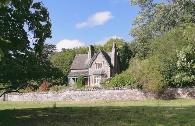
The village is characterized by its charming rural setting, with rolling hills, meandering country lanes, and quaint cottages dotting the landscape. The River Wye, which flows through the heart of the village, provides a tranquil and idyllic backdrop, attracting visitors and nature enthusiasts alike.

Bridge Sollers is known for its peaceful and close-knit community, with a population of approximately 200 residents. The village is well-served by a local pub, The Bridge Inn, which offers a warm and friendly atmosphere, serving traditional pub food and beverages.

The surrounding area offers a wealth of outdoor activities, with numerous walking trails and cycling routes that allow visitors to explore the stunning countryside. Additionally, the River Wye provides opportunities for fishing and canoeing, attracting enthusiasts from far and wide.

For history enthusiasts, nearby attractions such as the historic Hereford Cathedral and the picturesque villages of Weobley and Eardisland offer glimpses into the area's rich heritage.

Bridge Sollers is a peaceful and picturesque village, offering a perfect retreat for those seeking a tranquil escape in the heart of the English countryside.

If you have any feedback on the listing, please let us know in the comments section below.

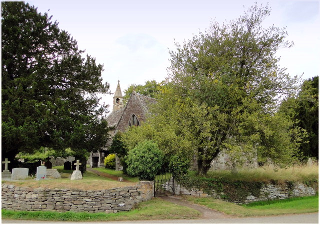
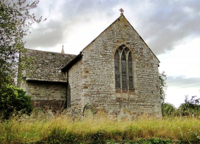
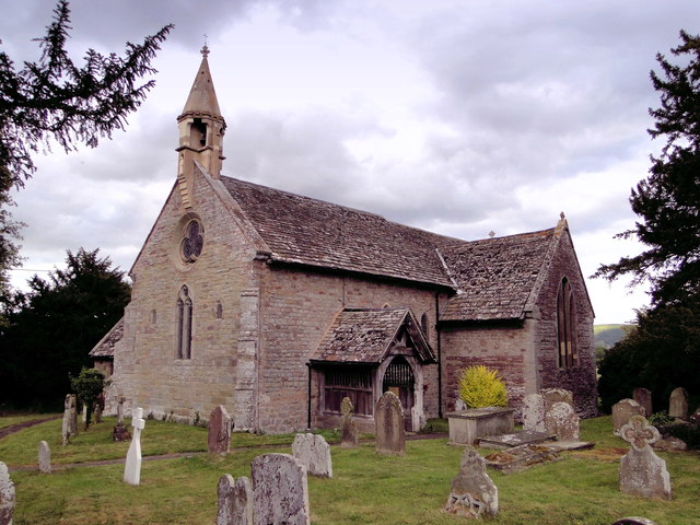
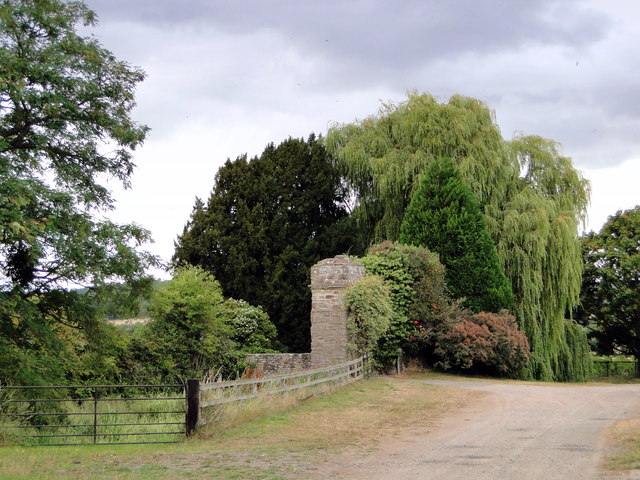
Bridge Sollers Images

Images are sourced within 2km of 52.078013/-2.8565546 or Grid Reference SO4142. Thanks to Geograph Open Source API. All images are credited.

Byford church Byford church is dedicated to St John the Baptist.
Byford church
Byford church is dedicated to St John the Baptist.
Farm at Byford The concrete structure on the left is possibly a silage clamp. The footpath signpost indicates the route of the Wye Valley Walk.
Farm at Byford
The concrete structure on the left is possibly a silage clamp. The footpath signpost indicates the route of the Wye Valley Walk.
The A438 at Byford Here the Hereford to Brecon road passes to the south of parkland at Garnons.
The A438 at Byford
Here the Hereford to Brecon road passes to the south of parkland at Garnons.
Byford Church St John the Baptist church, Byford.
Byford Church
St John the Baptist church, Byford.
St John Baptist, Byford By Byford Court, its neighbour for the past 500 years or more.
St John Baptist, Byford
By Byford Court, its neighbour for the past 500 years or more.
Byford Court Across the lane from the church.
Byford Court
Across the lane from the church.
The interior of Byford Church The nave of St John the Baptist's church, Byford.
The interior of Byford Church
The nave of St John the Baptist's church, Byford.
Interior of Byford Church Arches in the nave of St John the Baptist's church, Byford.
Interior of Byford Church
Arches in the nave of St John the Baptist's church, Byford.
Wall painting, Byford Church In the south transept of Byford church is a 14th century wall painting of St Margaret.
Wall painting, Byford Church
In the south transept of Byford church is a 14th century wall painting of St Margaret.
Parkland at the Garnons Trees in autumn colours in parkland at the Garnons.
Parkland at the Garnons
Trees in autumn colours in parkland at the Garnons.
Bridge Sollers Bridge According to a plaque on this bridge, the first bridge here was opened in 1896. The present bridge, the second on this site, was opened on 31 March 2004 by Bill Wiggin MP.
Bridge Sollers Bridge
According to a plaque on this bridge, the first bridge here was opened in 1896. The present bridge, the second on this site, was opened on 31 March 2004 by Bill Wiggin MP.
Bridge Sollers Bridge This modern bridge, replacing one dating from 1896, was opened in 2004.
Bridge Sollers Bridge
This modern bridge, replacing one dating from 1896, was opened in 2004.
St Lawrence, Bishopstone The parish cat stalks the church path, having seen off the last visitor of the day to this highly unusual building.
St Lawrence, Bishopstone
The parish cat stalks the church path, having seen off the last visitor of the day to this highly unusual building.
St Lawrence, Bishopstone The East end, showing the typical 13th century 'Herefordshire' window.
St Lawrence, Bishopstone
The East end, showing the typical 13th century 'Herefordshire' window.
St Lawrence, Bishopstone At my last visit the West end was taped off as the belfry was deemed unsafe. It has since been repaired by someone who clearly knew what they were doing.
St Lawrence, Bishopstone
At my last visit the West end was taped off as the belfry was deemed unsafe. It has since been repaired by someone who clearly knew what they were doing.
Bishopstone Court The 'ruinous gateway of c.1600' noted by Pevsner. A notice about unfriendly dogs prevented a closer look.
Bishopstone Court
The 'ruinous gateway of c.1600' noted by Pevsner. A notice about unfriendly dogs prevented a closer look.
The Steps, Garnons Delightful timber framed house at the intersection of Offa's Dyke and a Roman road.
The Steps, Garnons
Delightful timber framed house at the intersection of Offa's Dyke and a Roman road.
Gardener's Cottage, Garnons Solid Victorian staff house overlooking Garnons park.
Gardener's Cottage, Garnons
Solid Victorian staff house overlooking Garnons park.
Show me another place!

Bridge Sollers is located at Grid Ref: SO4142 (Lat: 52.078013, Lng: -2.8565546)

Unitary Authority: County of Herefordshire

Police Authority: West Mercia

What 3 Words

///files.hamsters.pigtails. Near Bridge Sollers, Herefordshire

Nearby Locations

Bridge Sollers

Related Wikis

Bridge Sollers

Bridge Sollers is a village and civil parish in Herefordshire, England, 10 km (6.2 mi) west of Hereford, on the River Wye. The village consists of 12 households...

Bishopstone, Herefordshire

Bishopstone is a village and civil parish in Herefordshire, England, 10 km (6.2 mi) west of Hereford, near the River Wye and the Roman town of Magnis....

Byford

Byford is a village and civil parish on the River Wye in Herefordshire, England, about 11 km (7 mi) west of Hereford. According to the 2001 census, it...

The Weir Garden

The Weir Garden is a National Trust property near Swainshill (see Stretton Sugwas), Herefordshire, lying alongside the River Wye 5 mi (8.0 km) west of...

Nearby Amenities

Located within 500m of 52.078013,-2.8565546
Bus Stop
Crossroads
Naptan AtcoCode: 2090A088000
Naptan Bearing: E
Naptan BusStopType: CUS
Naptan CommonName: Crossroads
Naptan Indicator: Eastbound
Naptan Landmark: Church
Naptan NaptanCode: heradjtj
Naptan Street: A438
Naptan Verified: no
Source: naptan_import
Lat/Long: 52.0793975/-2.8567823
Bus Stop
Crossroads
Naptan AtcoCode: 2090A18679
Naptan Bearing: W
Naptan BusStopType: CUS
Naptan CommonName: Crossroads
Naptan Indicator: Westbound
Naptan Landmark: Church
Naptan NaptanCode: herajama
Naptan Street: A438
Naptan Verified: no
Source: naptan_import
Lat/Long: 52.0792702/-2.8569696
Bridge Sollers
Place: hamlet
Source: NLS - OS 1:25k 1st Series 1937-61
Wikidata: Q3784288
Lat/Long: 52.0781946/-2.8565476
Power: pole
Lat/Long: 52.0819653/-2.8585133
Power: pole
Lat/Long: 52.0817099/-2.8572607
Power: pole
Lat/Long: 52.0816621/-2.8566465
Power: pole
Lat/Long: 52.0815401/-2.8551686
Power: pole
Lat/Long: 52.0814165/-2.853629
Power: pole
Lat/Long: 52.0811643/-2.8522021
The data included in this document is from www.openstreetmap.org. The data is made available under ODbL.

Have you been to Bridge Sollers?

Leave your review of Bridge Sollers below (or comments, questions and feedback).