New Quay

Community in Cardiganshire

Wales

New Quay

Shellfish factory at New Quay Head, New Quay, Ceredigion
Shellfish factory at New Quay Head, New Quay, Ceredigion Credit: Ruth Sharville

The requested URL returned error: 429 Too Many Requests

If you have any feedback on the listing, please let us know in the comments section below.
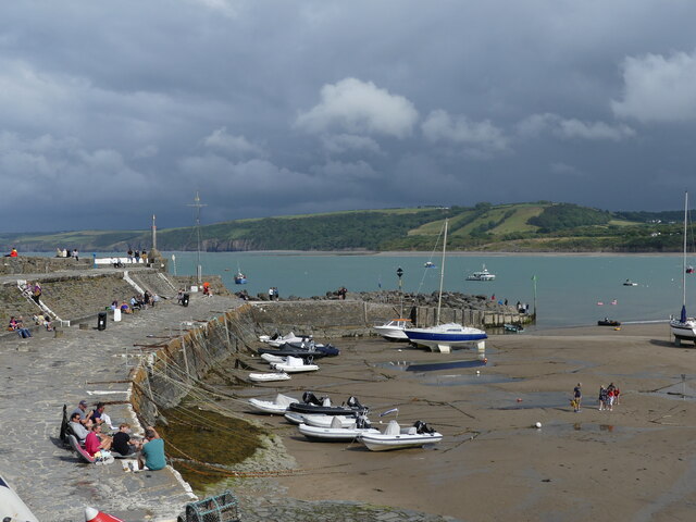
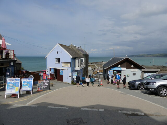
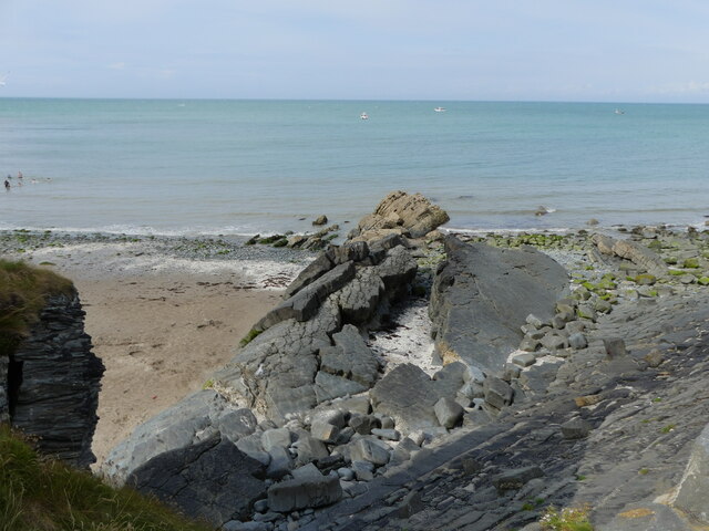
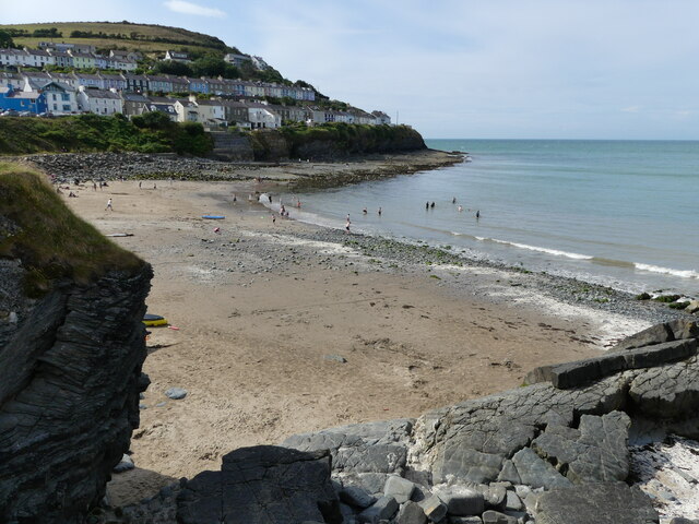
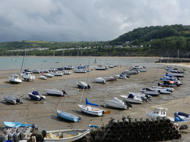
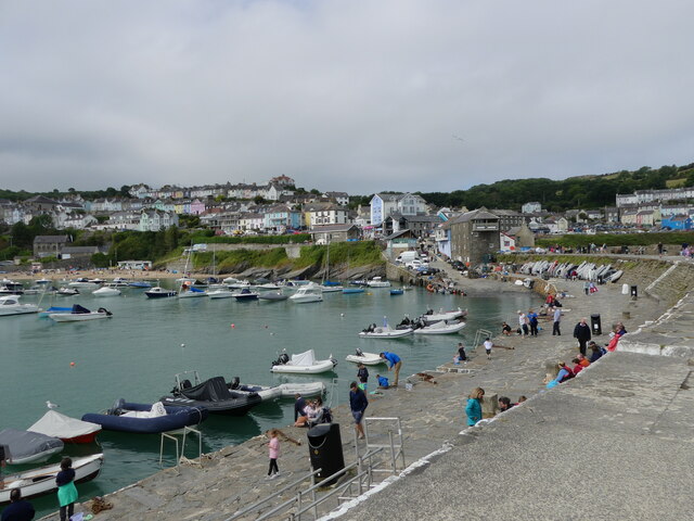
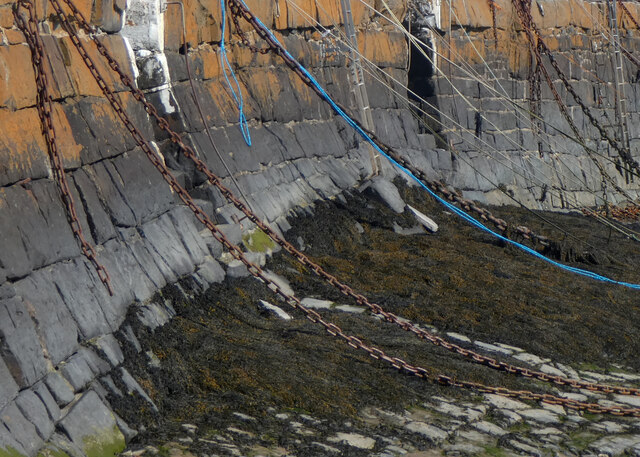
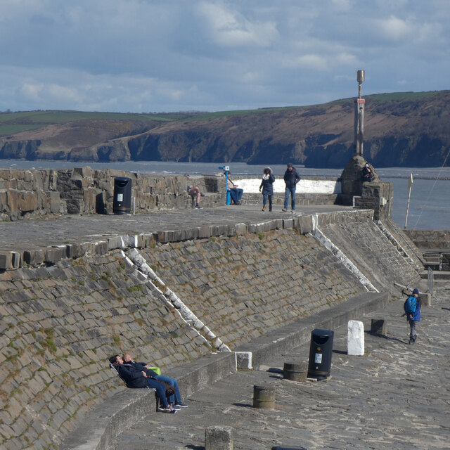
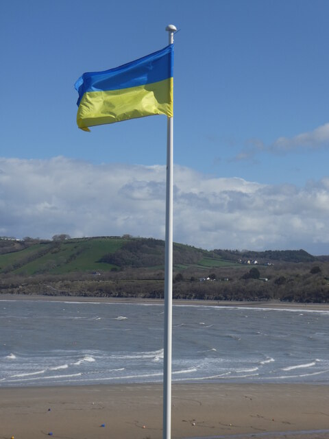
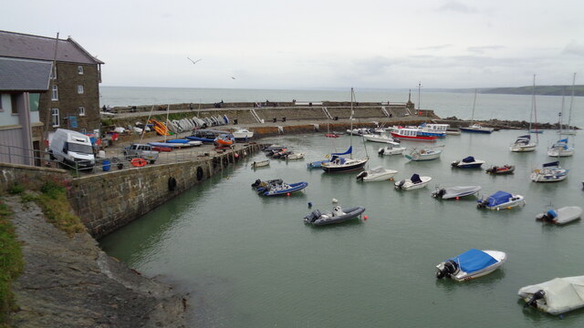
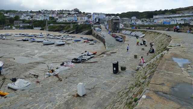
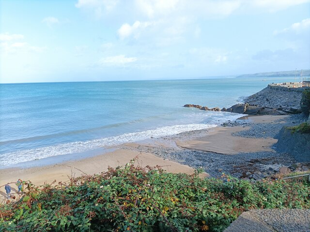
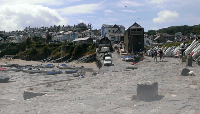
New Quay Images

Images are sourced within 2km of 52.208394/-4.356587 or Grid Reference SN3959. Thanks to Geograph Open Source API. All images are credited.

Shellfish factory at New Quay Head, New Quay, Ceredigion
The jetty and harbour, New Quay, Ceredigion When the tide is high enough, boats depart from this jetty to take passengers to watch dolphins in the bay.
The jetty and harbour, New Quay, Ceredigion
When the tide is high enough, boats depart from this jetty to take passengers to watch dolphins in the bay.
Road leading to the jetty, New Quay, Ceredigion Dolphin-watching boat trips are a popular tourist attraction.
Road leading to the jetty, New Quay, Ceredigion
Dolphin-watching boat trips are a popular tourist attraction.
The curve of folded strata, New Quay, Ceredigion
Traeth y Dolau beach, New Quay, Ceredigion
Looking across the harbour at low tide, New Quay, Ceredigion
View of New Quay (Ceredigion) from the jetty
Carreg Walltog
Carreg Walltog
Cadwynau'n hongian / Dangling chains
Dal yr haul / Capturing the sun
Baner yr Wcrain / Ukrainian flag
Housing around the Headland View from the pier
Housing around the Headland
View from the pier
Folded strata exposed in Cliff
Modern Stone Circle A circle of stones not shown on any map or mentioned in any archaeological record.
Modern Stone Circle
A circle of stones not shown on any map or mentioned in any archaeological record.
The Pier at New Quay/Ceinewydd
Beach in New Quay/Cei Newydd The smaller of 2 beaches in New Quay/Cei Newydd.
Beach in New Quay/Cei Newydd
The smaller of 2 beaches in New Quay/Cei Newydd.
New Quay seen from pier Buildings in the town of New Quay/Cei Newydd seen from the pier.
New Quay seen from pier
Buildings in the town of New Quay/Cei Newydd seen from the pier.
Show me another place!

New Quay is located at Grid Ref: SN3959 (Lat: 52.208394, Lng: -4.356587)

Unitary Authority: Ceredigion

Police Authority: Dyfed-Powys

Also known as: Ceinewydd

What 3 Words

///starter.odds.crinkled. Near New Quay, Ceredigion

Related Wikis

New Quay Lifeboat Station

New Quay Lifeboat Station is an RNLI lifeboat station in the coastal resort of New Quay, Ceredigion, West Wales. It was established in 1864 and in 2014...

New Quay

New Quay (Welsh: Cei Newydd) is a seaside town and electoral ward in Ceredigion, Wales; it had a resident population of 1,045 at the 2021 census. Located...

Maen-y-groes

Maen-y-groes is a hamlet in the community of Llanllwchaiarn, Ceredigion, Wales, which is 71 miles (114.3 km) from Cardiff and 187 miles (300.9 km) from...

Llanllwchaiarn, Ceredigion

Llanllwchaiarn is a community in Ceredigion, Wales, surrounding New Quay and had a population of 848 at the 2011 UK census. The community council uses...

Nearby Amenities

Located within 500m of 52.208394,-4.356587
Source: PGS
Lat/Long: 52.209899/-4.350332
Source: PGS
Lat/Long: 52.2100815/-4.3518049
Source: PGS
Lat/Long: 52.2102301/-4.3524825
Source: PGS
Lat/Long: 52.2103412/-4.3532704
Source: PGS
Lat/Long: 52.210373/-4.353683
Source: PGS
Lat/Long: 52.2104562/-4.3541331
Source: PGS
Lat/Long: 52.210615/-4.354942
Source: PGS
Lat/Long: 52.210867/-4.355367
Source: PGS
Lat/Long: 52.21099/-4.355788
Source: PGS
Lat/Long: 52.2115/-4.3562004
Source: PGS
Lat/Long: 52.211752/-4.356437
Source: PGS
Lat/Long: 52.212003/-4.356862
Source: PGS
Lat/Long: 52.21251/-4.357295
Amusements
Lat/Long: 52.2120028/-4.3595193
Pub
Football Club
Addr Postcode: SA45 9QJ
Addr Street: Margaret Street
Fhrs Id: 863111
Source Addr: FHRS Open Data
Lat/Long: 52.2117394/-4.35979
Post Box
Post Box Type: pillar
Royal Cypher: EIIR
Royal Cypher Wikidata: Q33102113
Lat/Long: 52.2119983/-4.3602084
Communication Mobile Phone: yes
Height: 10
Man Made: mast
Operator: EE
Operator Wikidata: Q5322942
Tower Construction: lattice
Tower Type: communication
Lat/Long: 52.2114387/-4.3618792
Restaurant
Operator: Black Lion Inn
Outdoor Seating: yes
Smoking: outside
Lat/Long: 52.212618/-4.3589072
Pub
Operator: Black Lion Inn
Outdoor Seating: yes
Smoking: outside
Lat/Long: 52.2124161/-4.3590287
Natural: peak
Lat/Long: 52.2055422/-4.3524195
Direction: SSW
Generator Method: photovoltaic
Generator Output Electricity: yes
Generator Solar Modules: 12
Generator Source: solar
Generator Type: solar_photovoltaic_panel
Location: roof
Power: generator
Lat/Long: 52.2111934/-4.3592766
Direction: SW
Generator Method: photovoltaic
Generator Output Electricity: yes
Generator Solar Modules: 16
Generator Source: solar
Generator Type: solar_photovoltaic_panel
Location: roof
Power: generator
Lat/Long: 52.2098913/-4.3569991
Direction: S
Generator Method: photovoltaic
Generator Output Electricity: yes
Generator Solar Modules: 16
Generator Source: solar
Generator Type: solar_photovoltaic_panel
Location: roof
Power: generator
Lat/Long: 52.2080081/-4.3565317
Direction: 165
Generator Method: photovoltaic
Generator Output Electricity: yes
Generator Solar Modules: 22
Generator Source: solar
Generator Type: solar_photovoltaic_panel
Location: roof
Power: generator
Lat/Long: 52.2084125/-4.3560368
Bench
Lat/Long: 52.2110565/-4.3576107
Bench
Lat/Long: 52.2110146/-4.3575147
Bench
Lat/Long: 52.2110336/-4.3575584
The data included in this document is from www.openstreetmap.org. The data is made available under ODbL.

Have you been to New Quay?

Leave your review of New Quay below (or comments, questions and feedback).