Nercwys

Community in Flintshire

Wales

Nercwys

Bench mark alongside Ffordd y Pentre This cut bench mark is on the field gatepost at the south west corner of the junction of Ffordd y Pentre and Ffordd Llewelyn. Immediately above the cut mark is the remains of a quarry blasting hole. See also <a href="https://www.geograph.org.uk/photo/3765220">SJ2359 : The Ffordd y Pentre and Ffordd Llewelyn junction, Nercwys</a> For details of the cut mark see: <span class="nowrap"><a title="http://www.bench-marks.org.uk/bm53020" rel="nofollow ugc noopener" href="http://www.bench-marks.org.uk/bm53020">Link</a><img style="margin-left:2px;" alt="External link" title="External link - shift click to open in new window" src="https://s1.geograph.org.uk/img/external.png" width="10" height="10"/></span>
Bench mark alongside Ffordd y Pentre Credit: John S Turner

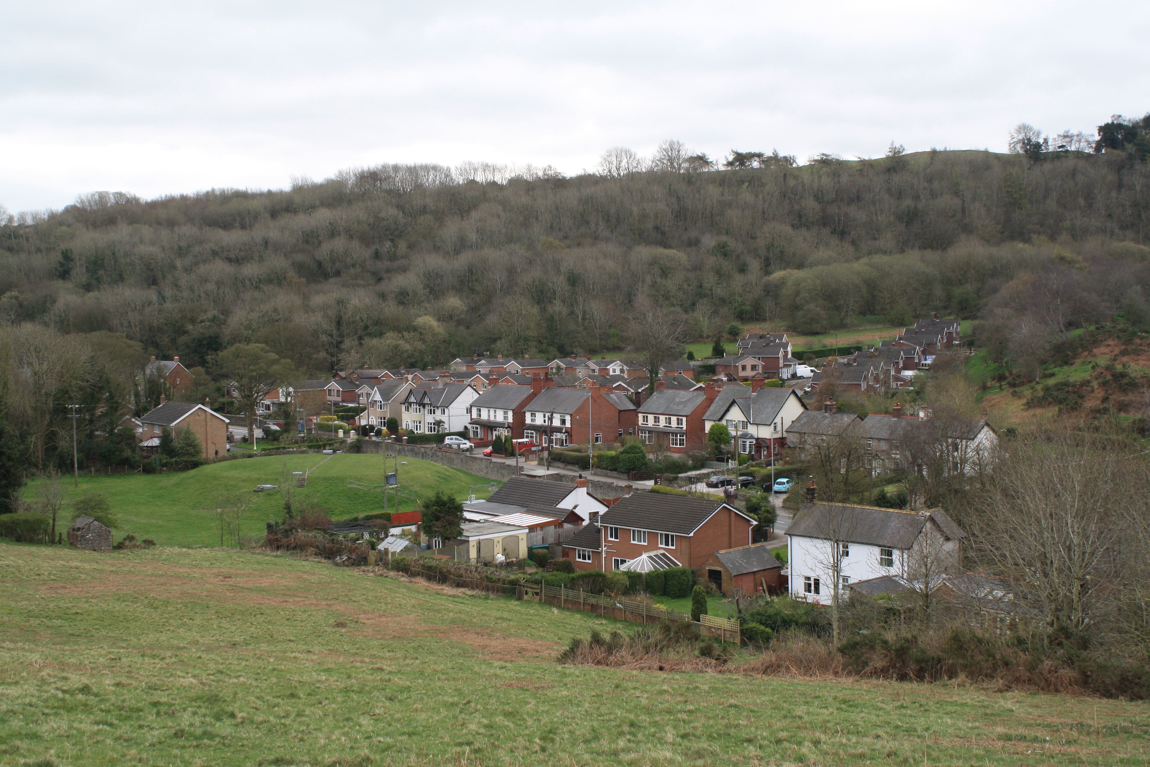
Nercwys is a small community located in the county of Flintshire, in northeastern Wales. Situated approximately 6 miles southwest of Mold, the village is nestled within a picturesque countryside setting, surrounded by rolling hills and lush green fields. The area is known for its natural beauty and is popular among nature enthusiasts and walkers.

The community of Nercwys is home to a population of around 700 residents. It is a close-knit community that prides itself on its warm and welcoming atmosphere. The village has a strong sense of community spirit, with various social events and activities organized throughout the year, including a popular annual summer fair.

Nercwys boasts a rich history, with evidence of human settlement dating back to the Bronze Age. The village is home to several historic buildings, including the 13th-century St. Mary's Church, which is known for its stunning stained glass windows and beautiful architecture.

In terms of amenities, Nercwys has a small community hall that serves as a hub for local events and gatherings. There is also a primary school located within the village, providing education for children from the surrounding areas.

While Nercwys may be a relatively small community, it offers a tranquil and idyllic lifestyle for its residents. Surrounded by breathtaking natural scenery and with a strong sense of community, Nercwys is a charming village that captures the essence of rural Wales.

If you have any feedback on the listing, please let us know in the comments section below.
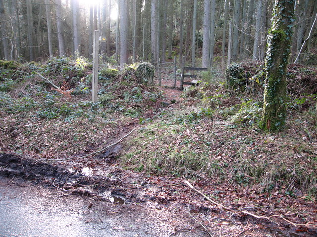
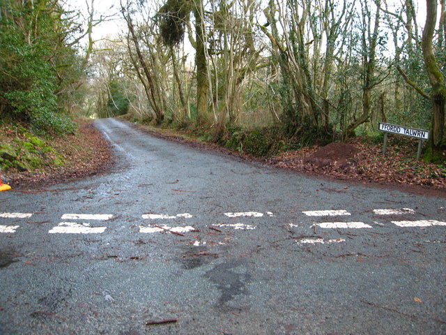
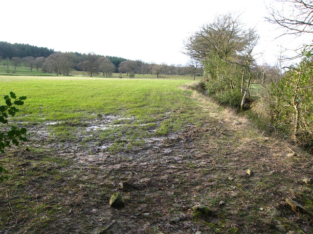
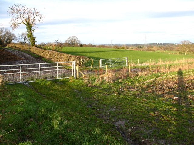
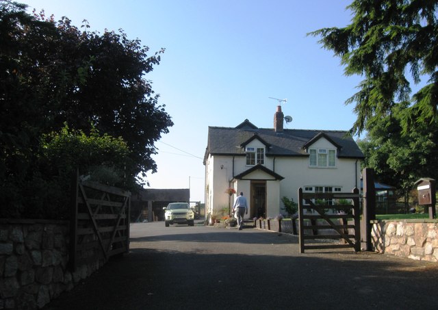
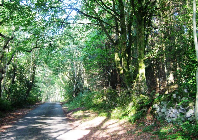
Nercwys Images

Images are sourced within 2km of 53.1344/-3.154552 or Grid Reference SJ2260. Thanks to Geograph Open Source API. All images are credited.

Bench mark alongside Ffordd y Pentre This cut bench mark is on the field gatepost at the south west corner of the junction of Ffordd y Pentre and Ffordd Llewelyn. Immediately above the cut mark is the remains of a quarry blasting hole. See also <a href="https://www.geograph.org.uk/photo/3765220">SJ2359 : The Ffordd y Pentre and Ffordd Llewelyn junction, Nercwys</a> For details of the cut mark see: <span class="nowrap"><a title="http://www.bench-marks.org.uk/bm53020" rel="nofollow ugc noopener" href="http://www.bench-marks.org.uk/bm53020">Link</a><img style="margin-left:2px;" alt="External link" title="External link - shift click to open in new window" src="https://s1.geograph.org.uk/img/external.png" width="10" height="10"/></span>
Bench mark alongside Ffordd y Pentre
This cut bench mark is on the field gatepost at the south west corner of the junction of Ffordd y Pentre and Ffordd Llewelyn. Immediately above the cut mark is the remains of a quarry blasting hole. See also SJ2359 : The Ffordd y Pentre and Ffordd Llewelyn junction, Nercwys For details of the cut mark see: LinkExternal link
The Ffordd y Pentre and Ffordd Llewelyn junction, Nercwys Looking across Ffordd y Pentre towards Ffordd Llewelyn outside the village of Nercwys. A stone gatepost for the field gate at the left of the junction has a cut bench mark: <a href="https://www.geograph.org.uk/photo/3765067">SJ2359 : Bench mark alongside Ffordd y Pentre</a>
The Ffordd y Pentre and Ffordd Llewelyn junction, Nercwys
Looking across Ffordd y Pentre towards Ffordd Llewelyn outside the village of Nercwys. A stone gatepost for the field gate at the left of the junction has a cut bench mark: SJ2359 : Bench mark alongside Ffordd y Pentre
Ffordd y Pentre, Nercwys Looking south along Ffordd y Pentre from its junction with Ffordd Llewelyn. The nearest gatepost on the right has an Ordnance Survey bench mark: <a href="https://www.geograph.org.uk/photo/3765067">SJ2359 : Bench mark alongside Ffordd y Pentre</a>
Ffordd y Pentre, Nercwys
Looking south along Ffordd y Pentre from its junction with Ffordd Llewelyn. The nearest gatepost on the right has an Ordnance Survey bench mark: SJ2359 : Bench mark alongside Ffordd y Pentre
The stile for footpaths in Nercwys Forest Is clearly marked but I could not find the path marked on the OS map heading south west from this end or the other end!
The stile for footpaths in Nercwys Forest
Is clearly marked but I could not find the path marked on the OS map heading south west from this end or the other end!
Ffordd Talwrn heading east
Footpath through grazing land With Coed Gwern-rhiw woodland in the distance
Footpath through grazing land
With Coed Gwern-rhiw woodland in the distance
Farm tracks, gates and fields south of Talwrn
Ford and footbridge over the Afon Terrig
Gwern Rhiw, Ffordd Talwyrn
Ffordd Talwyrn
Ffordd Talwyrn
Ffordd y Pentre at Glan Terrig Farm
Ffordd Talwrn passes under power line
Ffordd Nercwys nears Terrig Bridge
Ffordd y Pentre and the modern Pont Iago Looking south along Ffordd y Pentre towards the modern Pont Iago. The ancient Pont Iago is out of sight to the right on private land, and this 'by-pass' and new bridge first appears on the 1962 O.S. map.  There is an Ordnance Survey bench mark on the bridge parapet on the right nearest the camera - <a href="https://www.geograph.org.uk/photo/4987944">SJ2359 : Bench mark on Pont Iago, Ffordd y Pentre</a>
Ffordd y Pentre and the modern Pont Iago
Looking south along Ffordd y Pentre towards the modern Pont Iago. The ancient Pont Iago is out of sight to the right on private land, and this 'by-pass' and new bridge first appears on the 1962 O.S. map. There is an Ordnance Survey bench mark on the bridge parapet on the right nearest the camera - SJ2359 : Bench mark on Pont Iago, Ffordd y Pentre
Bench mark on Pont Iago, Ffordd y Pentre This Ordnance Survey bench mark is on the modern Pont Iago, which by-passes the nearby historic bridge.  The Ordnance Survey database quotes the height for this mark, but the grid reference for the old bridge.  See also <a href="https://www.geograph.org.uk/photo/4987934">SJ2359 : Ffordd y Pentre and the modern Pont Iago</a> and <a href="https://www.geograph.org.uk/photo/4987947">SJ2359 : Ffordd y Pentre and a bench mark on Pont Iago</a>
Bench mark on Pont Iago, Ffordd y Pentre
This Ordnance Survey bench mark is on the modern Pont Iago, which by-passes the nearby historic bridge. The Ordnance Survey database quotes the height for this mark, but the grid reference for the old bridge. See also SJ2359 : Ffordd y Pentre and the modern Pont Iago and SJ2359 : Ffordd y Pentre and a bench mark on Pont Iago
Ffordd y Pentre and a bench mark on Pont Iago Looking north along Ffordd y Pentre from the modern Pont Iago.  This section of the lane is a modern by-pass avoiding the narrow historic Pont Iago, which is further left/west.  There is an Ordnance Survey bench mark on the bridge parapet on the left - <a href="https://www.geograph.org.uk/photo/4987944">SJ2359 : Bench mark on Pont Iago, Ffordd y Pentre</a>
Ffordd y Pentre and a bench mark on Pont Iago
Looking north along Ffordd y Pentre from the modern Pont Iago. This section of the lane is a modern by-pass avoiding the narrow historic Pont Iago, which is further left/west. There is an Ordnance Survey bench mark on the bridge parapet on the left - SJ2359 : Bench mark on Pont Iago, Ffordd y Pentre
Rivet bench mark on Pont Terrig This Ordnance Survey rivet bench mark is on the eastern parapet of Terrig Bridge, which carries Ffordd y Pentre over the Afon Terrig. The mark pre-dates the 1872 O.S. map.  See also <a href="https://www.geograph.org.uk/photo/4988028">SJ2459 : Pont Terrig, Afon Terrig and Ffordd y Pentre</a>
Rivet bench mark on Pont Terrig
This Ordnance Survey rivet bench mark is on the eastern parapet of Terrig Bridge, which carries Ffordd y Pentre over the Afon Terrig. The mark pre-dates the 1872 O.S. map. See also SJ2459 : Pont Terrig, Afon Terrig and Ffordd y Pentre
Pont Terrig, Afon Terrig and Ffordd y Pentre Looking north along Ffordd y Pentre from Pont Terrig.  Afon Terrig can be seen below, and there is an Ordnance Survey rivet bench mark on the parapet just in front of the camera - <a href="https://www.geograph.org.uk/photo/4988016">SJ2459 : Rivet bench mark on Pont Terrig</a>
Pont Terrig, Afon Terrig and Ffordd y Pentre
Looking north along Ffordd y Pentre from Pont Terrig. Afon Terrig can be seen below, and there is an Ordnance Survey rivet bench mark on the parapet just in front of the camera - SJ2459 : Rivet bench mark on Pont Terrig
Show me another place!

Nercwys is located at Grid Ref: SJ2260 (Lat: 53.1344, Lng: -3.154552)

Unitary Authority: Flintshire

Police Authority: North Wales

What 3 Words

///stocked.ignoring.alpha. Near Treuddyn, Flintshire

Nearby Locations

Nercwys

Related Wikis

Nercwys

Nercwys is a rural village and community in Flintshire, Wales, which is surrounded by open countryside. The community population taken at the 2011 census...

Nerquis Hall

Nerquis Hall (Welsh: Neuadd Nercwys) is a 17th-century gentry house located in the North Wales village of Nercwys, Flintshire. Completed in the mid-1600s...

Gwernymynydd

Gwernymynydd (Welsh for 'Alder trees on the mountain') is a village outside the market town of Mold in Flintshire, Wales. It forms part of the Gwernymynydd...

Leeswood Hall

Leeswood Hall is a country house in Leeswood, Flintshire, Wales. Dating from 1742, it was built for George Wynne, the design being attributed to Francis...

Nearby Amenities

Located within 500m of 53.1344,-3.154552
The data included in this document is from www.openstreetmap.org. The data is made available under ODbL.

Have you been to Nercwys?

Leave your review of Nercwys below (or comments, questions and feedback).