Nelson

Community in Glamorgan

Wales

Nelson

House opposite Trefychan Farm Note the sheep mural!
House opposite Trefychan Farm Credit: Alan Hughes

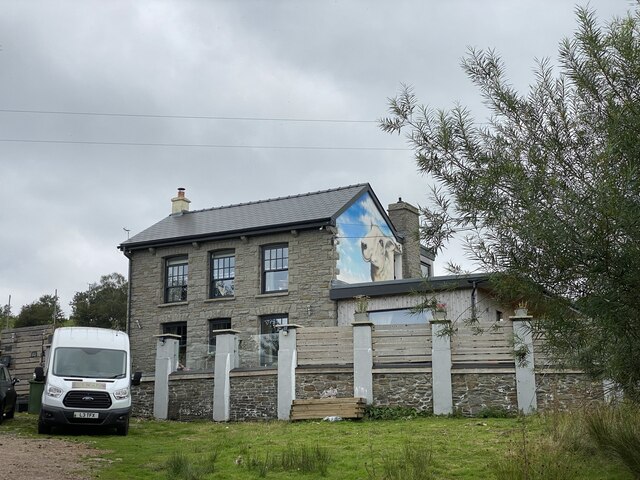
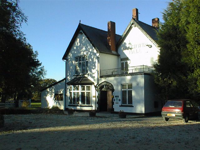
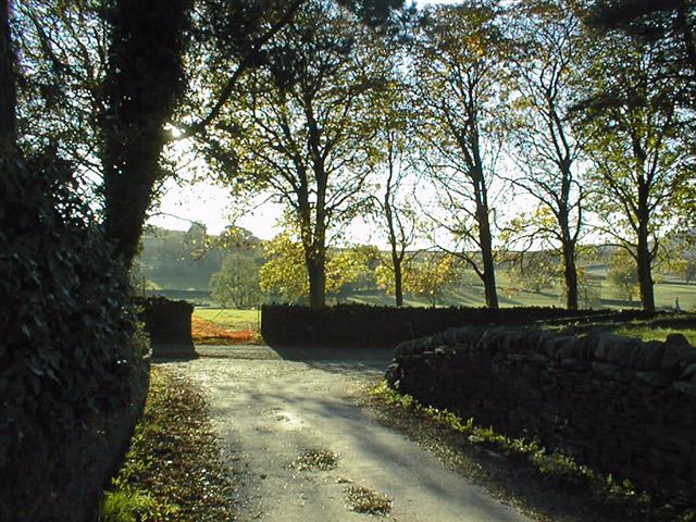
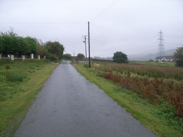
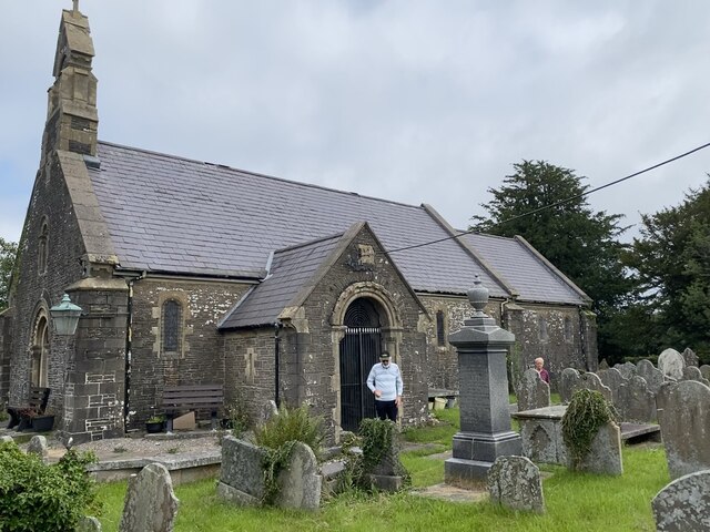
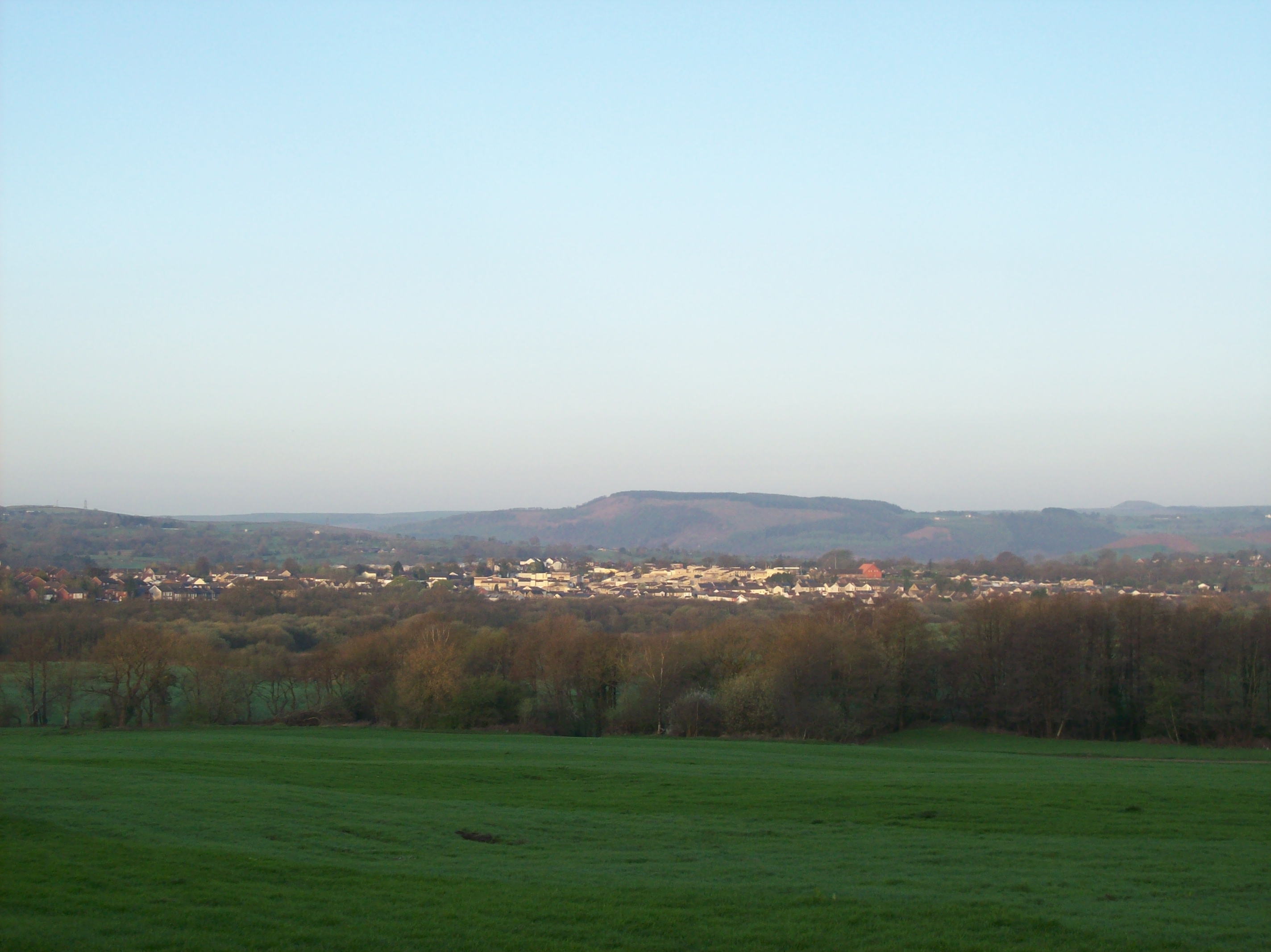
Nelson is a small community located in the county of Glamorgan, Wales. Situated in the southern part of the country, it is nestled in the Taff Bargoed Valley and is surrounded by picturesque hills and countryside. With a population of approximately 4,500 residents, it is a close-knit community with a strong sense of pride in its heritage and local traditions.

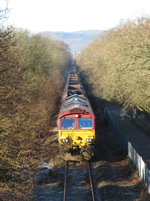
The origins of Nelson can be traced back to the coal mining industry, which flourished in the area during the 19th and early 20th centuries. The village grew rapidly during this time, with many workers and their families settling in the area. Although the coal mines have long since closed, the community has evolved and diversified, with a range of industries and services now supporting the local economy.

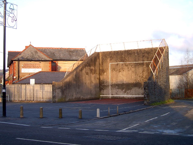
Nelson offers a range of amenities and facilities for its residents. There are several shops, including convenience stores and a post office, as well as a selection of pubs, restaurants, and cafes. The community also boasts a primary school, a medical center, and a community center, which hosts various events and activities throughout the year.

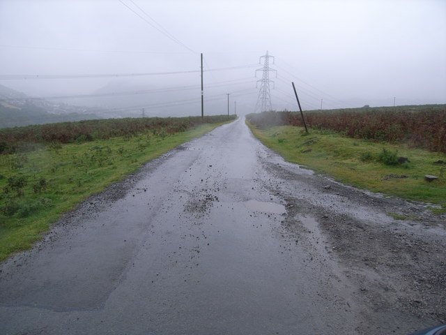
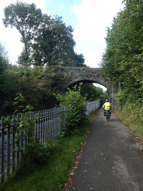
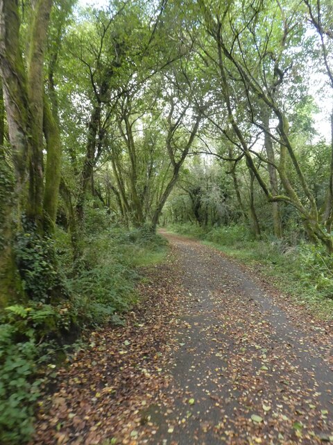
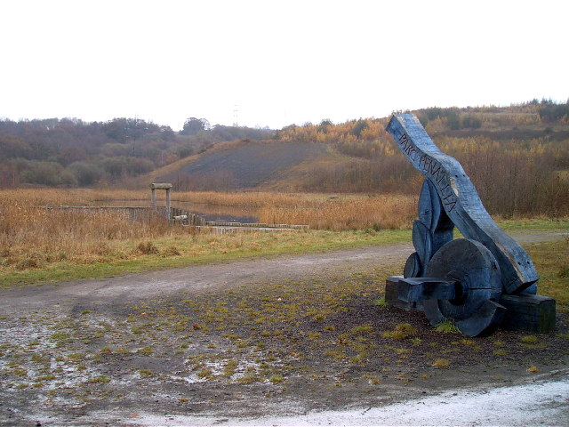
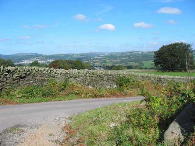
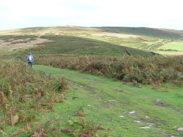
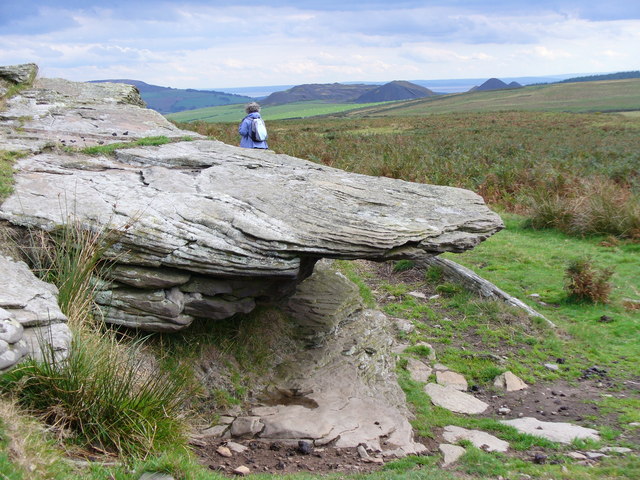
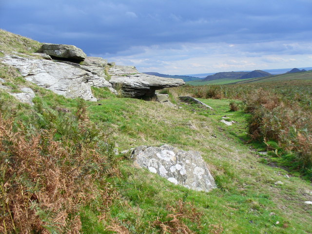
The surrounding area provides ample opportunities for outdoor enthusiasts, with numerous walking and cycling trails, as well as nearby nature reserves and parks. The Brecon Beacons National Park is also within close proximity, offering stunning landscapes and recreational activities.

Overall, Nelson is a charming community that combines its rich industrial history with a modern and vibrant atmosphere. Its beautiful surroundings and strong community spirit make it an attractive place to live or visit in Glamorgan.

If you have any feedback on the listing, please let us know in the comments section below.

Nelson Images

Images are sourced within 2km of 51.63868/-3.286132 or Grid Reference ST1194. Thanks to Geograph Open Source API. All images are credited.

House opposite Trefychan Farm Note the sheep mural!
House opposite Trefychan Farm
Note the sheep mural!
Llechwen Hall Hotel
Llechwen Hall Hotel
Llechwen Hall Hotel Looking from front of hotel down the drive
Llechwen Hall Hotel
Looking from front of hotel down the drive
Looking up the hill
Looking up the hill
Looking down the hill
Cwmheldeg Isaf Farm
Cwmheldeg Isaf Farm
Fydygelyn Farm
Fydygelyn Farm
Llanfabon Inn
Llanfabon Inn
Church of St Mabon For more information: <span class="nowrap"><a title="https://coflein.gov.uk/en/site/303261/" rel="nofollow ugc noopener" href="https://coflein.gov.uk/en/site/303261/">Link</a><img style="margin-left:2px;" alt="External link" title="External link - shift click to open in new window" src="https://s1.geograph.org.uk/img/external.png" width="10" height="10"/></span>
Church of St Mabon
For more information: LinkExternal link
Bridge over railway and cycle route The National Cycle Network is a network of cycle routes. It was created by the charity Sustrans <span class="nowrap"><a title="http://www.sustrans.org.uk/what-we-do/national-cycle-network" rel="nofollow ugc noopener" href="http://www.sustrans.org.uk/what-we-do/national-cycle-network">Link</a><img style="margin-left:2px;" alt="External link" title="External link - shift click to open in new window" src="https://s1.geograph.org.uk/img/external.png" width="10" height="10"/></span>  (Sustainable Transport), aided by a National Lottery grant.

Many routes aim to minimise contact with motor traffic, though 70% of them are on roads. In some cases the NCN uses pedestrian routes, disused railways, minor roads, canal towpaths, or traffic-calmed routes in towns and cities.
Bridge over railway and cycle route
The National Cycle Network is a network of cycle routes. It was created by the charity Sustrans LinkExternal link (Sustainable Transport), aided by a National Lottery grant. Many routes aim to minimise contact with motor traffic, though 70% of them are on roads. In some cases the NCN uses pedestrian routes, disused railways, minor roads, canal towpaths, or traffic-calmed routes in towns and cities.
NCN47 in woodland east of Nelson The National Cycle Network is a network of cycle routes. It was created by the charity Sustrans <span class="nowrap"><a title="http://www.sustrans.org.uk/what-we-do/national-cycle-network" rel="nofollow ugc noopener" href="http://www.sustrans.org.uk/what-we-do/national-cycle-network">Link</a><img style="margin-left:2px;" alt="External link" title="External link - shift click to open in new window" src="https://s1.geograph.org.uk/img/external.png" width="10" height="10"/></span>  (Sustainable Transport), aided by a National Lottery grant.

Many routes aim to minimise contact with motor traffic, though 70% of them are on roads. In some cases the NCN uses pedestrian routes, disused railways, minor roads, canal towpaths, or traffic-calmed routes in towns and cities.
NCN47 in woodland east of Nelson
The National Cycle Network is a network of cycle routes. It was created by the charity Sustrans LinkExternal link (Sustainable Transport), aided by a National Lottery grant. Many routes aim to minimise contact with motor traffic, though 70% of them are on roads. In some cases the NCN uses pedestrian routes, disused railways, minor roads, canal towpaths, or traffic-calmed routes in towns and cities.
Coal train at Parc Penallta A loaded coal working from Cwmbargoed to Margam passes Parc Penallta with class 66 No. 66003 in charge.
Coal train at Parc Penallta
A loaded coal working from Cwmbargoed to Margam passes Parc Penallta with class 66 No. 66003 in charge.
South West entrance to Parc Penallta Parc Penallta is a country park on the site of a former colliery and includes the giant pit pony <a href="https://www.geograph.org.uk/gridref/ST1395">ST1395</a>
South West entrance to Parc Penallta
Parc Penallta is a country park on the site of a former colliery and includes the giant pit pony ST1395
Handball Court in Nelson This court is believed to be the last remaining outdoor handball court in the UK.
(Handball is a game a bit like squash but played with the hands rather than racquets.)
Handball Court in Nelson
This court is believed to be the last remaining outdoor handball court in the UK. (Handball is a game a bit like squash but played with the hands rather than racquets.)
Country Road near Ystrad Mynach Just visible on the centre skyline are the peaks of the Brecon Beacons
Country Road near Ystrad Mynach
Just visible on the centre skyline are the peaks of the Brecon Beacons
The Path to Mynydd Eglwysilan The path leading up the hill from the west has been badly disfigured by off-road bikers. The dot on the hilltop is a 4x4 car! The hill is moorland, covered with bracken, grasses and reeds.
The Path to Mynydd Eglwysilan
The path leading up the hill from the west has been badly disfigured by off-road bikers. The dot on the hilltop is a 4x4 car! The hill is moorland, covered with bracken, grasses and reeds.
Tor on Mynydd Eglwysilan The exposed rocks just south of the summit show horizontal rock layers, jointing is opened by freeze-thaw action. Note the coal bings in the distance, and beyond these is England, across the Severn Estuary.
Tor on Mynydd Eglwysilan
The exposed rocks just south of the summit show horizontal rock layers, jointing is opened by freeze-thaw action. Note the coal bings in the distance, and beyond these is England, across the Severn Estuary.
Mynydd Eglwysilan, South Side of Summit Tors outcrop on the south of this rolling grassy summit by the Rhymney Valley. In the distance are coal bings and England, across the Severn Estuary.
Mynydd Eglwysilan, South Side of Summit
Tors outcrop on the south of this rolling grassy summit by the Rhymney Valley. In the distance are coal bings and England, across the Severn Estuary.
Show me another place!

Nelson is located at Grid Ref: ST1194 (Lat: 51.63868, Lng: -3.286132)

Unitary Authority: Caerphilly

Police Authority: Gwent

What 3 Words

///redeeming.enhancement.jazz. Near Nelson, Caerphilly

Nearby Locations

Nelson

Related Wikis

Llanvabon

Llanvabon (also known as Llanfabon) is an area and former parish in South Wales. As described in 1849, it comprised two hamlets, in the union of Merthyr...

Nelson, Caerphilly

Nelson (Welsh: Ffos y Gerddinen) is a village and community in the County Borough of Caerphilly, Wales. It sits five miles north of Caerphilly and ten...

Nelson Glam railway station

Nelson Glam railway station served the village of Nelson, in the historical county of Glamorganshire, Wales, from 1900 to 1932 on the Llancaiach Branch...

Mynydd Eglwysilan

Mynydd Eglwysilan is a 355-metre-high hill in the Caerphilly county borough in South Wales 3 km to the south of Nelson and a similar distance southwest...

Nearby Amenities

Located within 500m of 51.63868,-3.286132
Power: tower
Lat/Long: 51.6344728/-3.2882162
Power: tower
Lat/Long: 51.6379192/-3.2797628
Power: tower
Lat/Long: 51.6362085/-3.2813045
Power: tower
Lat/Long: 51.6348214/-3.2831363
Parking
Pub Car Park
Lat/Long: 51.6356164/-3.2906113
Barrier: kissing_gate
Lat/Long: 51.6362876/-3.2900794
Llanfabon
Place: hamlet
Lat/Long: 51.6360826/-3.2901185
Barrier: stile
Lat/Long: 51.6372669/-3.2848445
Power: tower
Lat/Long: 51.6400909/-3.2913843
Power: tower
Lat/Long: 51.6389406/-3.289437
Power: tower
Lat/Long: 51.638105/-3.2880557
Power: tower
Lat/Long: 51.6374741/-3.2869935
Power: tower
Lat/Long: 51.6368066/-3.2858804
Power: tower
Lat/Long: 51.6357328/-3.2853305
Power: tower
Lat/Long: 51.634734/-3.2848531
Direction: 165
Generator Method: photovoltaic
Generator Output Electricity: yes
Generator Solar Modules: 16
Generator Source: solar
Generator Type: solar_photovoltaic_panel
Location: roof
Power: generator
Lat/Long: 51.6362172/-3.2878009
The data included in this document is from www.openstreetmap.org. The data is made available under ODbL.

Have you been to Nelson?

Leave your review of Nelson below (or comments, questions and feedback).