Nantmel

Community in Radnorshire

Wales

Nantmel

Nantmel War Memorial
Nantmel War Memorial Credit: DylanMusto14

The requested URL returned error: 429 Too Many Requests

If you have any feedback on the listing, please let us know in the comments section below.
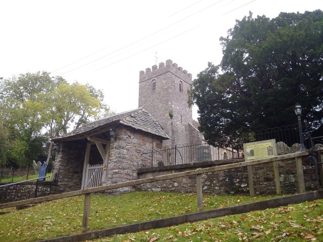
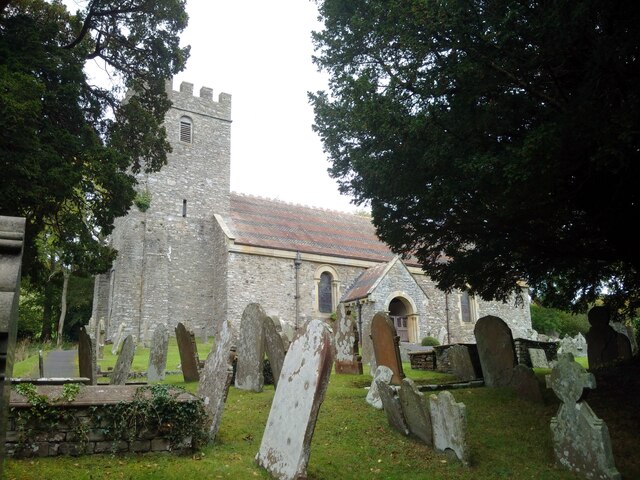
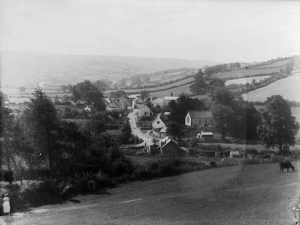
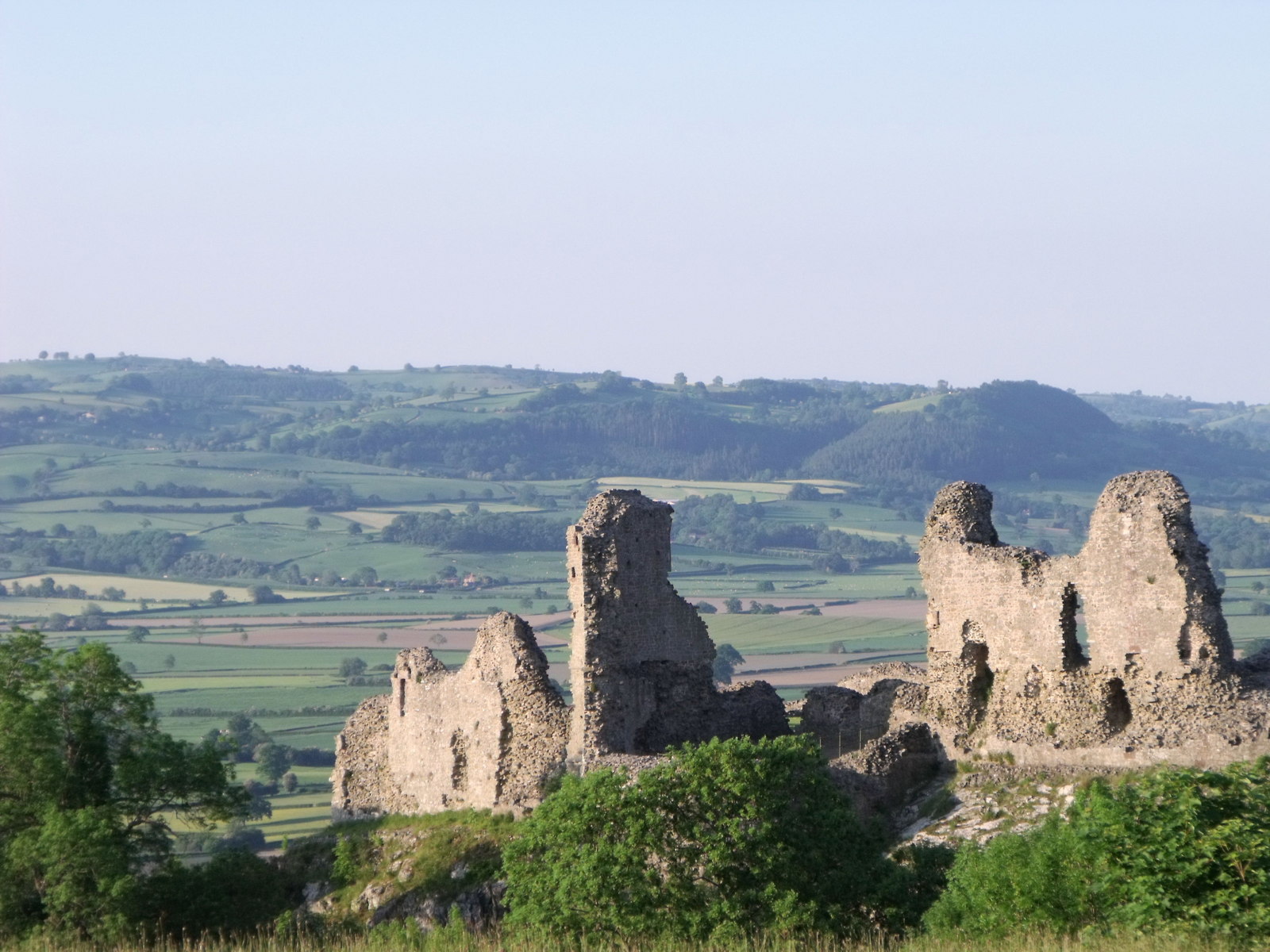
Nantmel Images

Images are sourced within 2km of 52.28891/-3.435725 or Grid Reference SO0266. Thanks to Geograph Open Source API. All images are credited.

Nantmel War Memorial
Nantmel Parish Information Board
Countryside at Nantmel
St. Cynllo's Church (Nantmel)
Sundial at St. Cynllo's Church (Nantmel)
St. Cynllo's Church (Nantmel)
Lychgate at St. Cynllo's Church (Nantmel)
Nantmel Aqueduct
Nantmel Aqueduct
Nantmel Aqueduct
Nantmel Aqueduct
Countryside at Nantmel
Nantmel Primary School
Nantmel Post Office
Nantmel Post Office
Show me another place!

Nantmel is located at Grid Ref: SO0266 (Lat: 52.28891, Lng: -3.435725)

Unitary Authority: Powys

Police Authority: Dyfed Powys

What 3 Words

///connects.column.slices. Near Rhayader, Powys

Nearby Locations

Nantmel

Related Wikis

Nantmel Landfill Site

Nantmel Landfill Site is a closed waste-disposal site situated in the community of Nantmel, Llandrindod Wells, Powys, Wales. It operated from 1960 to 1990...

Nantmel

Nantmel is a village and a community in Radnorshire, Powys, Wales, and is 76.5 miles (123.1 km) from Cardiff and 150.5 miles (242.2 km) from London. In...

Powys

Powys ( POH-iss, POW-iss, Welsh: [ˈpou̯ɪs]) is a county and preserved county in Wales. It borders Gwynedd, Denbighshire, and Wrexham to the north; the...

Nant Glas

Nant Glas (or Nant-glas) is a village in the Elan Valley near Rhayader and Llandrindod Wells in Powys, Wales. It is on a side road between the A44 to the...

Nearby Amenities

Located within 500m of 52.28891,-3.435725
Power: pole
Lat/Long: 52.2929162/-3.4343702
Power: pole
Lat/Long: 52.2911707/-3.4345767
Power: pole
Lat/Long: 52.2902684/-3.4346491
Power: pole
Lat/Long: 52.2884112/-3.4348369
Power: pole
Lat/Long: 52.2881077/-3.4347081
Power: pole
Lat/Long: 52.2865129/-3.4347779
Power: pole
Lat/Long: 52.2849902/-3.4353653
Power: pole
Lat/Long: 52.2857253/-3.4352499
Power: pole
Lat/Long: 52.2870953/-3.4344265
Pipeline: valve
Lat/Long: 52.287369/-3.4325463
Power: pole
Lat/Long: 52.288083/-3.4425375
Power: pole
Lat/Long: 52.2871495/-3.4423792
Power: pole
Lat/Long: 52.2877762/-3.4415451
Power: pole
Lat/Long: 52.2874522/-3.4404628
Power: pole
Lat/Long: 52.2868/-3.4383143
Power: pole
Lat/Long: 52.286476/-3.4372844
Power: pole
Lat/Long: 52.2861281/-3.4361672
Power: pole
Lat/Long: 52.2852052/-3.4339275
Power: pole
Lat/Long: 52.2848114/-3.4330022
Power: pole
Lat/Long: 52.2916057/-3.4345237
Man Made: manhole
Manhole: water
Lat/Long: 52.2880631/-3.4342394
The data included in this document is from www.openstreetmap.org. The data is made available under ODbL.

Have you been to Nantmel?

Leave your review of Nantmel below (or comments, questions and feedback).