Aberdaugleddau
Community in Pembrokeshire
Wales
Aberdaugleddau
Aberdaugleddau is a community located in the county of Pembrokeshire, Wales. It is situated on the western coast of the country, overlooking the Milford Haven waterway. The community covers an area of approximately 16 square kilometers and has a population of around 1,500 residents.
The name Aberdaugleddau translates to "mouth of the two Cleddaus," referring to the two rivers that converge at this point - the Eastern Cleddau and the Western Cleddau. These rivers are an essential part of the community's landscape and provide a picturesque setting for residents and visitors alike.
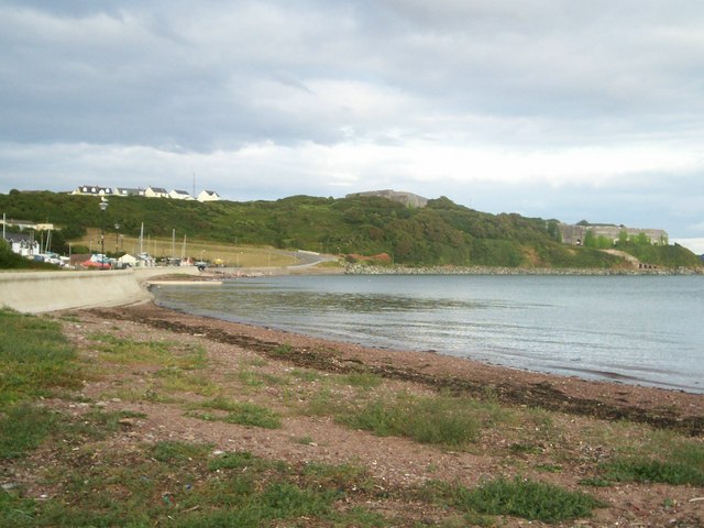
Aberdaugleddau has a rich maritime history, with its location on the Milford Haven waterway making it a significant port and shipbuilding center in the past. Although the shipbuilding industry has declined, the community still maintains strong ties to the sea, with fishing and boating playing a vital role in the local economy.
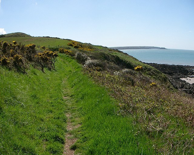
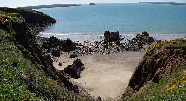
The area is also known for its natural beauty, with stunning coastal scenery and rolling hills that attract outdoor enthusiasts. Popular activities include hiking along the Pembrokeshire Coast Path, which runs through the community, as well as water sports such as kayaking and sailing.
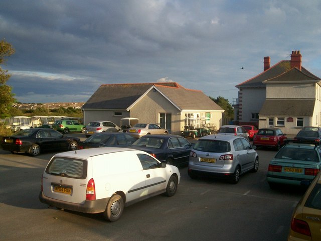
In terms of amenities, Aberdaugleddau has a range of shops, restaurants, and pubs to cater to the needs of residents and visitors. There are also several schools, community centers, and recreational facilities available, ensuring a high quality of life for its inhabitants.
Overall, Aberdaugleddau offers a unique blend of natural beauty, maritime heritage, and community spirit, making it an appealing place to live or visit in Pembrokeshire.
If you have any feedback on the listing, please let us know in the comments section below.
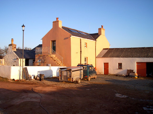
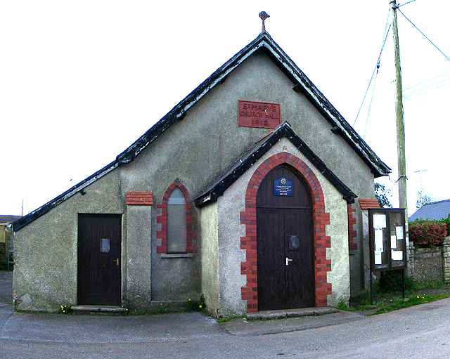
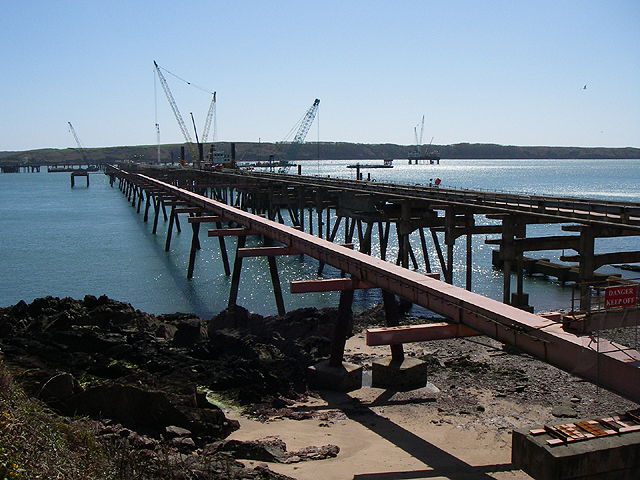
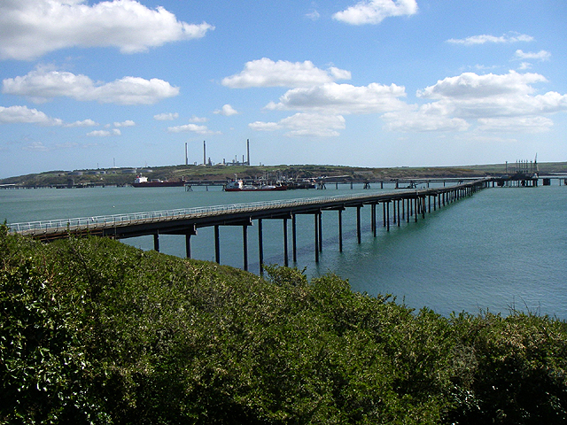
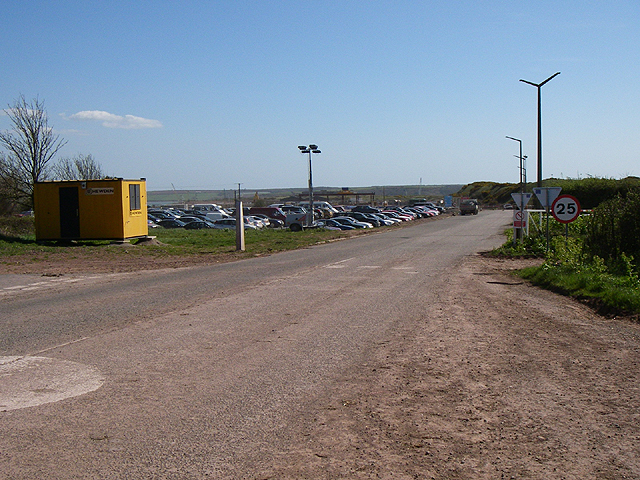
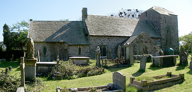
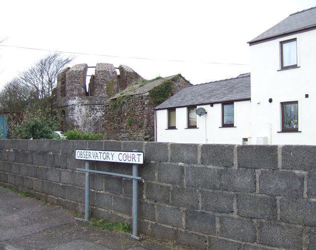
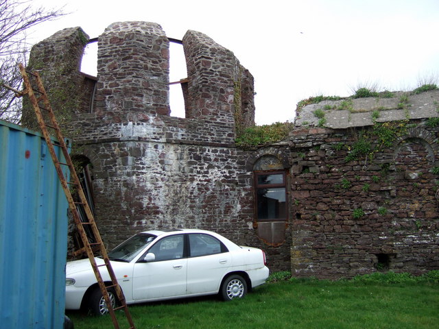
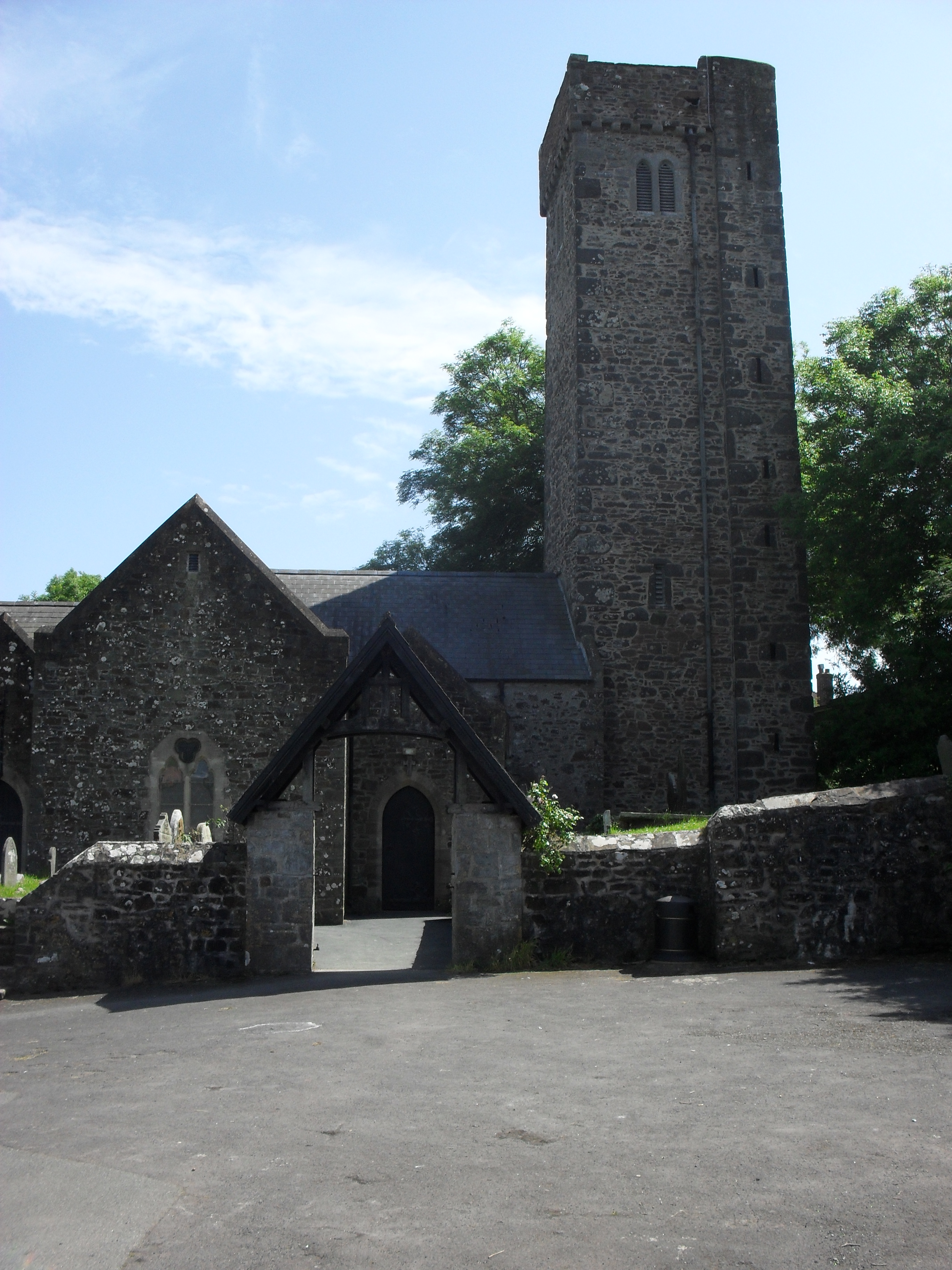
Aberdaugleddau Images
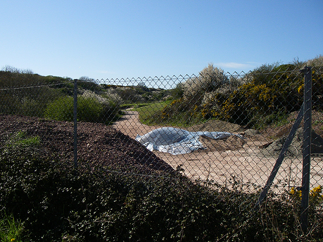
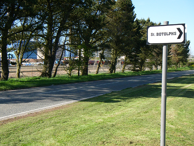
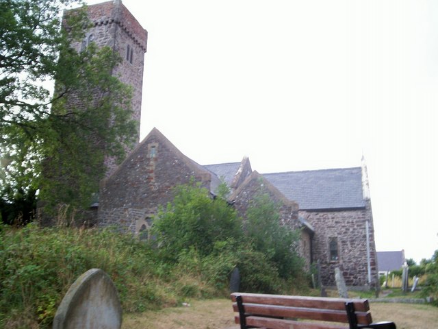
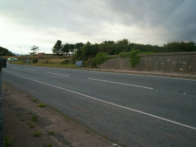
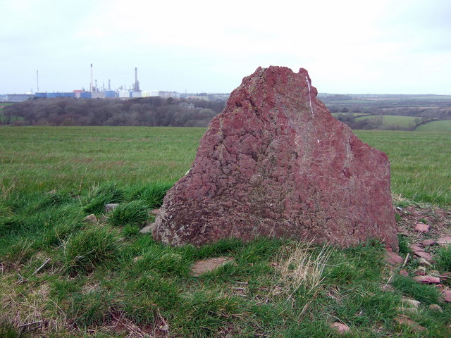
Images are sourced within 2km of 51.717781/-5.073252 or Grid Reference SM8706. Thanks to Geograph Open Source API. All images are credited.
Aberdaugleddau is located at Grid Ref: SM8706 (Lat: 51.717781, Lng: -5.073252)
Unitary Authority: Pembrokeshire
Police Authority: Dyfed-Powys
Also known as: Milford Haven
What 3 Words
///marine.prank.inform. Near Herbrandston, Pembrokeshire
Nearby Locations
Related Wikis
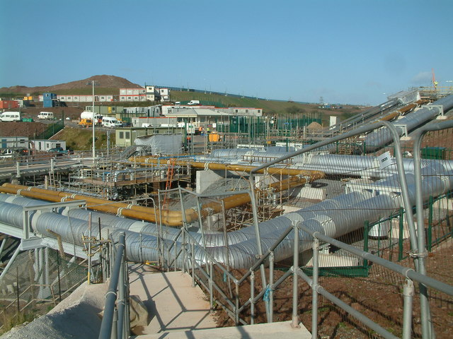
South Hook LNG terminal
South Hook LNG terminal is an LNG regasification terminal near Milford Haven and is the largest LNG terminal in Europe. Together with the smaller Dragon...

Esso Refinery, Milford Haven
The Esso Refinery at Milford Haven was an oil refinery situated on the Pembrokeshire coast in Wales. Construction started in 1957 and the refinery was...
Hubberston
Hubberston is a coastal village in Pembrokeshire, Wales. It belongs to the parish of Hubberston in the historical hundred of Roose. It is located directly...
St David's Church, Hubberston
St David's Church, Hubberston is the parish church of Hubberston, a village on the north bank of the Milford Haven Waterway, in south Pembrokeshire, Wales...
Nearby Amenities
Located within 500m of 51.717781,-5.073252Have you been to Aberdaugleddau?
Leave your review of Aberdaugleddau below (or comments, questions and feedback).