Bridge of Dun
Settlement in Angus
Scotland
Bridge of Dun
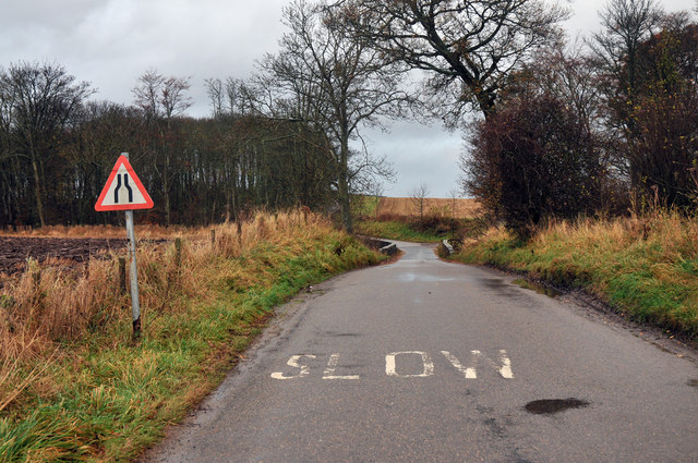
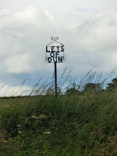
Bridge of Dun is a small village located in the county of Angus, Scotland. Situated near the banks of the River South Esk, it is approximately 6 miles east of the town of Montrose. The village is known for its historic bridge, which was built in the 18th century and is a prominent landmark in the area.
The Bridge of Dun is a single-arched stone bridge that spans the River South Esk. It was constructed in 1767 by architect John Adam for the purpose of providing a crossing point for the local community. The bridge is well-preserved and remains in use for both pedestrians and vehicles.
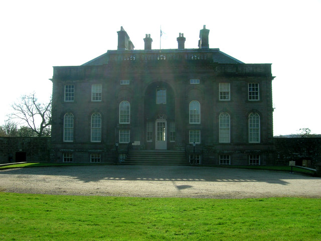
Apart from the bridge, the village is also home to Dun House, a grand Georgian mansion that was built in the early 19th century. The house is surrounded by extensive gardens and is currently privately owned. Although not open to the public, its architectural beauty can still be appreciated from the exterior.
Bridge of Dun is a picturesque village with a tranquil and scenic setting. The surrounding countryside offers stunning views, making it a popular destination for nature lovers and outdoor enthusiasts. The area is also known for its rich wildlife, with opportunities for birdwatching and spotting various species.
Overall, Bridge of Dun is a charming village that combines historical significance with natural beauty. It offers a peaceful escape and is a delightful place to explore for those interested in history, architecture, and the great outdoors.
If you have any feedback on the listing, please let us know in the comments section below.
Bridge of Dun Images
Images are sourced within 2km of 56.718675/-2.553507 or Grid Reference NO6658. Thanks to Geograph Open Source API. All images are credited.


Bridge of Dun is located at Grid Ref: NO6658 (Lat: 56.718675, Lng: -2.553507)
Unitary Authority: Angus
Police Authority: Tayside
What 3 Words
///saved.trap.entrusted. Near Montrose, Angus
Nearby Locations
Related Wikis

Bridge of Dun
Bridge of Dun is a village in Angus, Scotland, located north of the River South Esk and south of the A935 road from Brechin to Montrose. == History... ==

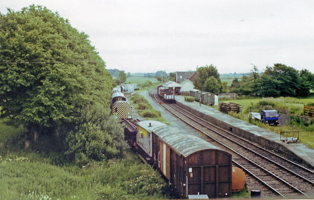
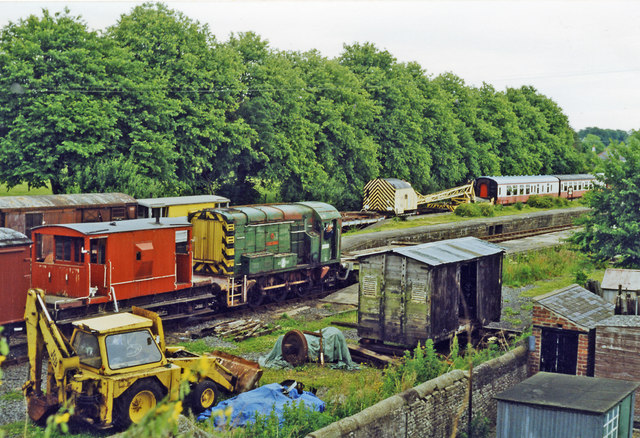
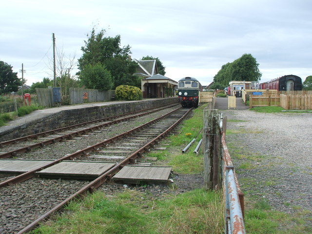
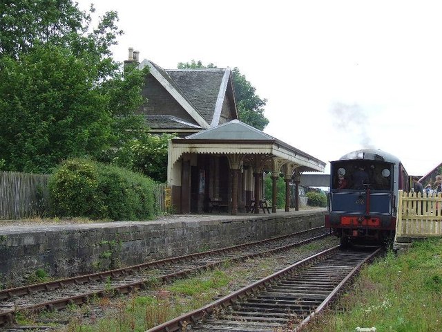
Bridge of Dun railway station
Bridge of Dun is a privately owned station in Angus. The adjacent platforms and line are independently operated as a preserved railway by the Caledonian...

Dun, Angus
Dun is a rural parish in Angus, Scotland. It contains the House of Dun, home of the Erskine family and is a stop on the Caledonian Railway. It is located...
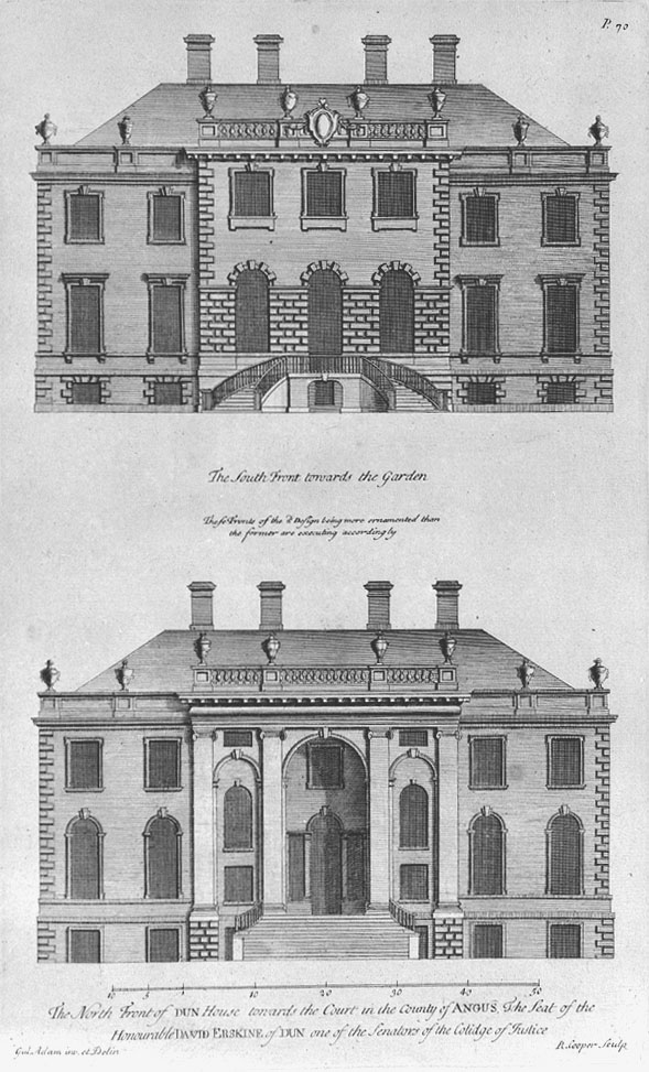
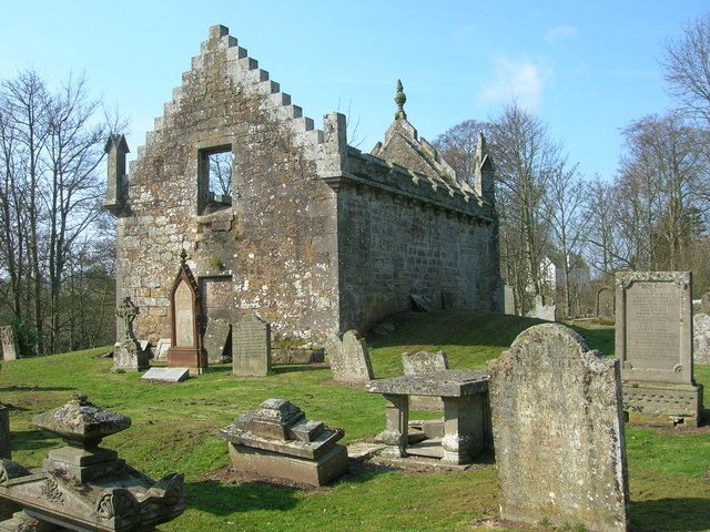
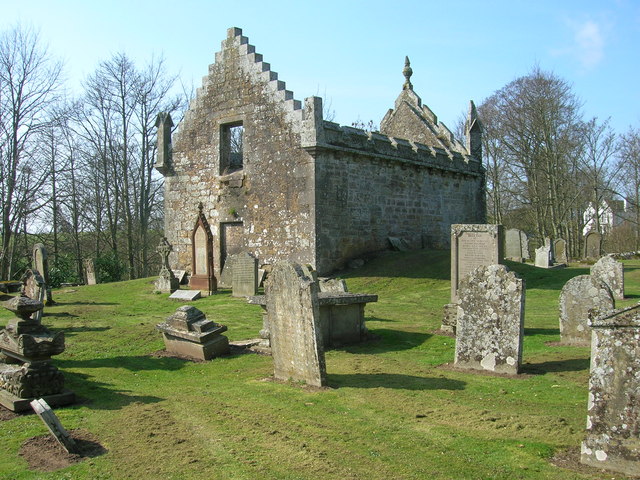
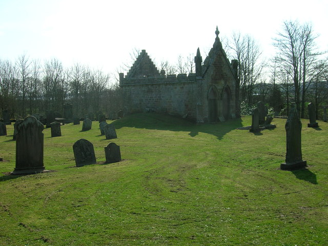
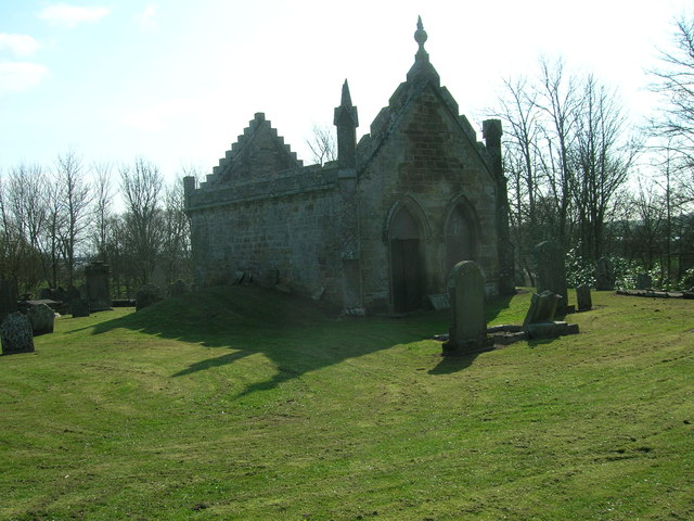
House of Dun
The House of Dun is a National Trust for Scotland property in the parish of Dun, lying close to the edge of Montrose Basin and situated approximately halfway...
Old Montrose
Old Montrose is an estate in Montrose, Angus, Scotland. The lands and house of Old Montrose were given to David de Graham of Kincardine, in exchange for...

Kinnaird Castle, Brechin
Kinnaird Castle is a 15th-century castle near Brechin in Angus, Scotland. The castle has been home to the Carnegie family, the Earls of Southesk, for more...

Montrose Basin
Montrose Basin is a nearly circular tidal basin which makes up part of the estuary of the River South Esk and which sits just inland of the town of Montrose...
Dubton railway station
Dubton railway station (also known as Dubton Junction railway station) served the village of Hillside, Scotland and the nearby hamlet of Dubton, after...
Nearby Amenities
Located within 500m of 56.718675,-2.553507Have you been to Bridge of Dun?
Leave your review of Bridge of Dun below (or comments, questions and feedback).