Bridge of Don

Settlement in Aberdeenshire

Scotland

Bridge of Don

Frosty dawn at Bridge of Don Day breaks over the North Sea on the last day of the year
Frosty dawn at Bridge of Don Credit: Alan Reid

Bridge of Don is a suburb located in the city of Aberdeen, within the county of Aberdeenshire, Scotland. Situated on the north-eastern outskirts of Aberdeen, it is bordered by the River Don to the south and the open countryside to the north. With a population of approximately 24,000 residents, Bridge of Don is a vibrant community that offers a mix of residential, commercial, and industrial areas.

The area has a rich history, with evidence of settlements dating back to prehistoric times. In more recent times, Bridge of Don became an important center for the fishing industry in the 19th century, with many fishermen and their families residing in the area. Today, remnants of its fishing heritage can still be seen in the form of historic buildings and landmarks.

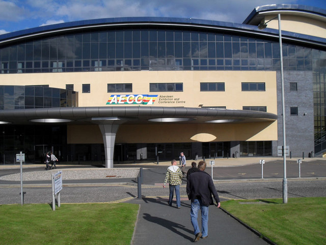
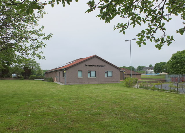
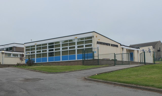
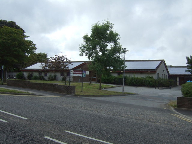
Bridge of Don is well-served by amenities and facilities, including several primary and secondary schools, shopping centers, medical practices, and recreational spaces. The area boasts a number of parks, such as Scotstown Moor and Grandholm Mill, which offer opportunities for outdoor activities and leisure pursuits.

In addition to its residential areas, Bridge of Don is home to a variety of industries, including oil and gas companies, technology firms, and manufacturing plants. This has contributed to the growth and development of the area, making it an important economic hub within Aberdeen.

With its convenient location, close proximity to Aberdeen city center, and a range of amenities, Bridge of Don offers residents a desirable place to live and work.

If you have any feedback on the listing, please let us know in the comments section below.

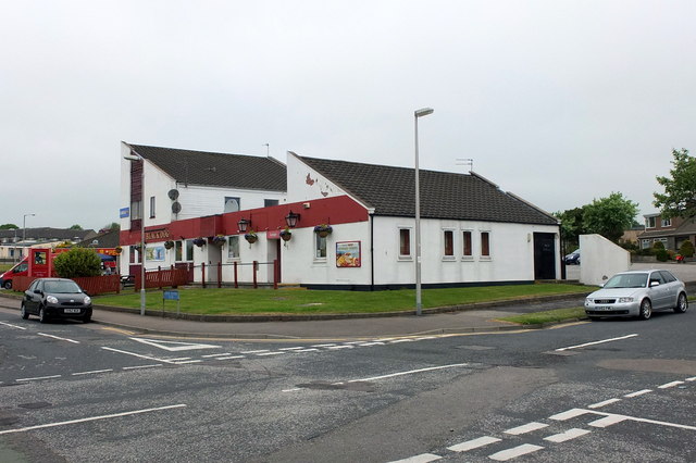
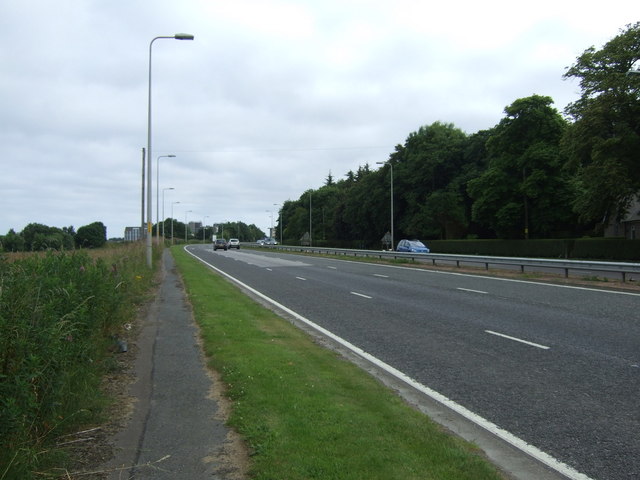
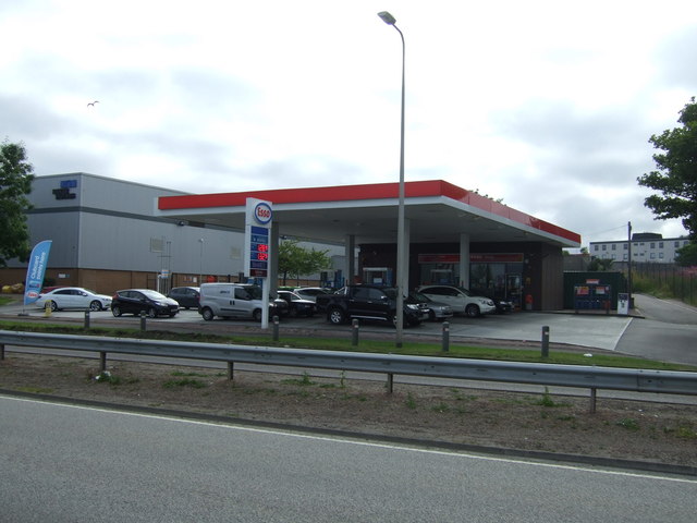
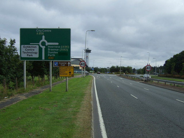
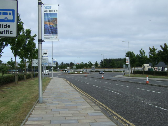
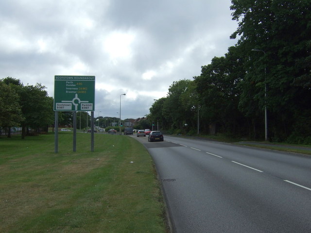
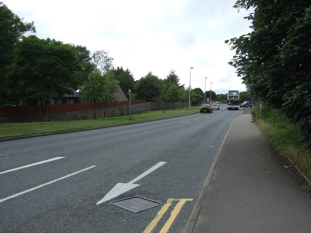
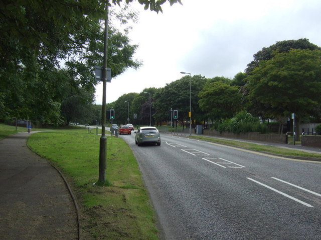
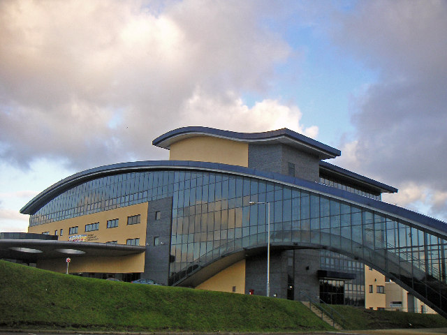
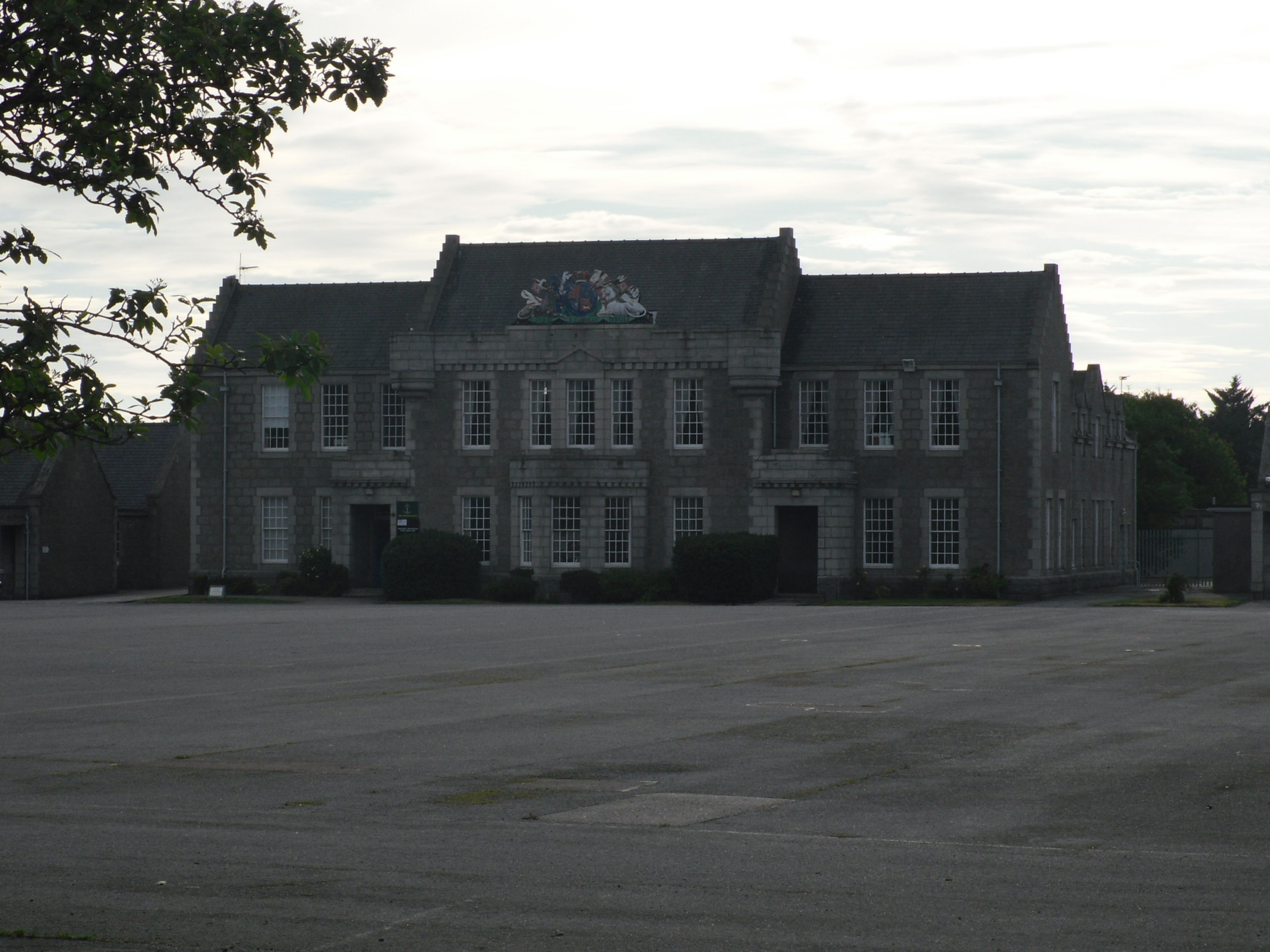
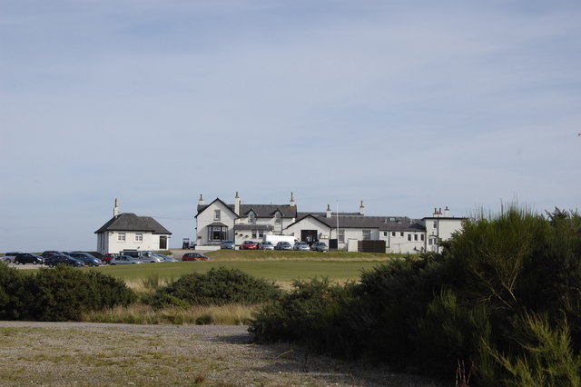
Bridge of Don Images

Images are sourced within 2km of 57.185826/-2.0955386 or Grid Reference NJ9410. Thanks to Geograph Open Source API. All images are credited.

Frosty dawn at Bridge of Don Day breaks over the North Sea on the last day of the year
Frosty dawn at Bridge of Don
Day breaks over the North Sea on the last day of the year
The AECC
The AECC
Bridge of Don Baptist Church Centre
Bridge of Don Library Bridge of Don must be the ultimate 1970s suburb, with unimpressive public buildings to match...
Bridge of Don Library
Bridge of Don must be the ultimate 1970s suburb, with unimpressive public buildings to match...
Scotstown Surgery, Bridge of Don
Scotstown School, Bridge of Don, Aberdeen Built in the 1970s with the school name on the end of the building in the Profil typeface.  I thought this typeface was classic (dated) 1970s, but in fact it dates from 1946: <span class="nowrap"><a title="http://ultraboldblog.printweek.com/2009/02/28/profil/" rel="nofollow ugc noopener" href="http://ultraboldblog.printweek.com/2009/02/28/profil/">Link</a><img style="margin-left:2px;" alt="External link" title="External link - shift click to open in new window" src="https://s1.geograph.org.uk/img/external.png" width="10" height="10"/></span> .
Scotstown School, Bridge of Don, Aberdeen
Built in the 1970s with the school name on the end of the building in the Profil typeface. I thought this typeface was classic (dated) 1970s, but in fact it dates from 1946: LinkExternal link .
The Black Dog, Bridge of Don Interesting 1970s architecture..
The Black Dog, Bridge of Don
Interesting 1970s architecture..
Farmland, Denmore East of the A90.
Farmland, Denmore
East of the A90.
Ellon Road (A90) heading south  Into Aberdeen.
Ellon Road (A90) heading south
Into Aberdeen.
Service station on the A90
Holiday Inn Express, Aberdeen Exhibition Centre
A90 heading south Into Aberdeen.
A90 heading south
Into Aberdeen.
Parkway East Heading east near the Aberdeen Exhibition Centre.
Parkway East
Heading east near the Aberdeen Exhibition Centre.
The Parkway (A90) Heading west.
The Parkway (A90)
Heading west.
Scotstown Roundabout A90 heading west.
Scotstown Roundabout
A90 heading west.
Glashieburn Primary School
Scotstown Road (B997) Heading north.
Scotstown Road (B997)
Heading north.
Jesmond Drive Heading west.
Jesmond Drive
Heading west.
Show me another place!

Bridge of Don is located at Grid Ref: NJ9410 (Lat: 57.185826, Lng: -2.0955386)

Unitary Authority: City of Aberdeen

Police Authority: North East

What 3 Words

///mute.split.wink. Near Aberdeen

Nearby Locations

Bridge of Don

Related Wikis

Nearby Amenities

Located within 500m of 57.185826,-2.0955386
Noexit: yes
Lat/Long: 57.1827192/-2.1015217
Crossing
Crossing: uncontrolled
Crossing Island: no
Crossing Markings: zebra
Crossing Ref: zebra
Flashing Lights: no
Tactile Paving: yes
Lat/Long: 57.1855566/-2.0873206
Turning Circle
Lat/Long: 57.1842326/-2.0958258
Post Box
Operator: Royal Mail
Operator Wikidata: Q638098
Post Box Mounting: pier
Post Box Type: lamp
Ref: AB23 908
Royal Cypher: scottish_crown
Lat/Long: 57.1881786/-2.0999296
Crossing
Button Operated: yes
Crossing: traffic_signals
Crossing Island: yes
Crossing Markings: dots
Tactile Paving: yes
Traffic Signals Vibration: yes
Lat/Long: 57.1824214/-2.0913718
Traffic Signals
Traffic Signals: signal
Lat/Long: 57.1821079/-2.0915199
Traffic Signals
Traffic Signals: signal
Lat/Long: 57.1822361/-2.0911889
Give Way
Direction: backward
Lat/Long: 57.1880003/-2.0921358
Toilets
Lat/Long: 57.1841896/-2.0892008
Mobile Speed Camera route 5 start
Website: http://www.nescamp.co.uk/details?cid=95
Lat/Long: 57.1870314/-2.0891904
Post Box
Addr Postcode: AB23 8QN
Collection Times: Mo-Fr 09:00, Sa 07:00
Ref: AB23 492D
Royal Cypher: scottish_crown
Lat/Long: 57.1838325/-2.1016718
Crossing
Button Operated: no
Crossing: unmarked
Crossing Island: yes
Crossing Markings: no
Kerb: lowered
Tactile Paving: yes
Traffic Signals Sound: no
Lat/Long: 57.1847571/-2.090609
Crossing
Button Operated: yes
Crossing: traffic_signals
Crossing Island: yes
Crossing Markings: dots
Tactile Paving: yes
Traffic Signals Sound: no
Traffic Signals Vibration: yes
Lat/Long: 57.1873554/-2.0897983
Crossing
Button Operated: yes
Crossing: traffic_signals
Crossing Island: yes
Crossing Markings: dots
Tactile Paving: yes
Traffic Signals Sound: no
Traffic Signals Vibration: yes
Lat/Long: 57.1872787/-2.0899987
Crossing
Bicycle: yes
Button Operated: yes
Crossing: traffic_signals
Crossing Island: yes
Crossing Markings: dots
Tactile Paving: yes
Traffic Signals Vibration: yes
Lat/Long: 57.1820771/-2.0917773
Crossing
Bicycle: yes
Button Operated: yes
Crossing: traffic_signals
Crossing Island: yes
Crossing Markings: dots
Tactile Paving: yes
Traffic Signals Vibration: yes
Lat/Long: 57.1821625/-2.0917018
Crossing
Crossing: unmarked
Crossing Island: no
Crossing Markings: no
Tactile Paving: yes
Lat/Long: 57.1880798/-2.0930313
Crossing
Crossing: unmarked
Crossing Island: no
Crossing Markings: no
Kerb: lowered
Tactile Paving: yes
Lat/Long: 57.1894659/-2.0999844
Give Way
Lat/Long: 57.1820099/-2.0916401
Bus Stop
Cameron Terrace
Bench: yes
Bin: no
Bus: yes
Lit: yes
Naptan AtcoCode: 639005101
Naptan CommonName: Cameron Terrace
Naptan Indicator: at
Naptan NaptanCode: 23236325
Naptan Verified: no
Public Transport: platform
Shelter: yes
Tactile Paving: no
Lat/Long: 57.1831551/-2.1015035
Bus Stop
Gordon Place
Bench: yes
Bin: no
Bus: yes
Lit: yes
Naptan AtcoCode: 639005092
Naptan CommonName: Gordon Place
Naptan Indicator: opp
Naptan NaptanCode: 23236363
Naptan Verified: no
Public Transport: platform
Shelter: yes
Tactile Paving: no
Lat/Long: 57.18522/-2.1029319
Bus Stop
Gordon Place
Bench: yes
Bin: no
Bus: yes
Naptan AtcoCode: 639005091
Naptan CommonName: Gordon Place
Naptan Indicator: at
Naptan NaptanCode: 23236364
Naptan Verified: no
Public Transport: platform
Shelter: yes
Tactile Paving: no
Lat/Long: 57.1856062/-2.102933
Bus Stop
Cameron Road
Bench: yes
Bin: no
Bus: yes
Lit: yes
Naptan AtcoCode: 639005102
Naptan CommonName: Cameron Road
Naptan Indicator: adj
Naptan NaptanCode: 23236343
Naptan Verified: no
Public Transport: platform
Shelter: yes
Tactile Paving: no
Lat/Long: 57.1833328/-2.1019501
Bus Stop
Broadfold Drive
Bus: yes
Naptan AtcoCode: 639005122
Naptan CommonName: Broadfold Drive
Naptan Indicator: opp
Naptan NaptanCode: 23236287
Naptan Verified: no
Public Transport: platform
Shelter: no
Lat/Long: 57.1815709/-2.0940223
Bus Stop
Broadfold Drive
Bench: yes
Bin: yes
Bus: yes
Naptan AtcoCode: 639005121
Naptan CommonName: Broadfold Drive
Naptan Indicator: at
Naptan NaptanCode: 23236296
Naptan Verified: no
Public Transport: platform
Shelter: yes
Tactile Paving: no
Lat/Long: 57.1819199/-2.0932462
Bus Stop
Broadfold Road
Bench: yes
Bin: yes
Bus: yes
Lit: yes
Naptan AtcoCode: 639003512
Naptan CommonName: Broadfold Road
Naptan Indicator: at
Naptan NaptanCode: 23236365
Naptan Verified: no
Public Transport: platform
Shelter: yes
Tactile Paving: no
Lat/Long: 57.1855386/-2.0901657
Bus Stop
Broadfold Road
Bench: yes
Bin: yes
Bus: yes
Lit: yes
Naptan AtcoCode: 639003511
Naptan CommonName: Broadfold Road
Naptan Indicator: opp
Naptan NaptanCode: 23236372
Naptan Verified: no
Public Transport: platform
Shelter: yes
Tactile Paving: no
Lat/Long: 57.1863996/-2.0892773
Bus Stop
The Parkway
Bus: yes
Naptan AtcoCode: 639003292
Naptan CommonName: The Parkway
Naptan Indicator: NE-bound
Naptan NaptanCode: 23236575
Naptan Verified: no
Public Transport: platform
Lat/Long: 57.1884897/-2.0914755
Bus Stop
The Parkway
Bench: no
Bin: no
Bus: yes
Lit: yes
Naptan AtcoCode: 639003291
Naptan CommonName: The Parkway
Naptan Indicator: SW-bound
Naptan NaptanCode: 23236574
Naptan Verified: no
Public Transport: platform
Shelter: no
Tactile Paving: no
Lat/Long: 57.1884176/-2.0917897
Bus Stop
Bridge of Don Park & Ride
Bus: yes
Naptan AtcoCode: 639003541
Naptan CommonName: Bridge of Don Park & Ride
Naptan Indicator: at
Naptan NaptanCode: 23236356
Naptan Verified: no
Public Transport: platform
Lat/Long: 57.1841886/-2.0890992
Recycling
Recycling Type: container
Lat/Long: 57.1838332/-2.0890527
Crossing
Button Operated: yes
Crossing: traffic_signals
Crossing Island: yes
Crossing Markings: dots
Tactile Paving: yes
Traffic Signals Vibration: yes
Lat/Long: 57.1823196/-2.091131
Traffic Calming: cushion
Lat/Long: 57.1825337/-2.0899585
Crossing
Button Operated: no
Crossing: uncontrolled
Crossing Island: no
Crossing Ref: zebra
Traffic Signals Sound: no
Lat/Long: 57.1852177/-2.0908785
Generator Method: photovoltaic
Generator Output Electricity: yes
Generator Source: solar
Generator Type: solar_photovoltaic_panel
Location: roof
Power: generator
Lat/Long: 57.1825877/-2.1002226
Generator Method: photovoltaic
Generator Output Electricity: yes
Generator Source: solar
Generator Type: solar_photovoltaic_panel
Location: roof
Power: generator
Lat/Long: 57.1863838/-2.1010669
Generator Method: photovoltaic
Generator Output Electricity: yes
Generator Source: solar
Generator Type: solar_photovoltaic_panel
Location: roof
Power: generator
Lat/Long: 57.1862647/-2.1019413
Generator Method: photovoltaic
Generator Output Electricity: yes
Generator Source: solar
Generator Type: solar_photovoltaic_panel
Location: roof
Power: generator
Lat/Long: 57.1862407/-2.1021102
Grit Bin
Lat/Long: 57.1860401/-2.1030182
Man Made: mast
Tower Type: communication
Lat/Long: 57.1868947/-2.0927426
Crossing
Button Operated: yes
Crossing: traffic_signals
Tactile Paving: yes
Traffic Signals Vibration: yes
Lat/Long: 57.1858964/-2.0898551
Barrier: block
Lat/Long: 57.1816438/-2.0934397
Post Box
Collection Times: Mo-Fr 09:00; Sa 07:00
Colour: red
Operator: Royal Mail
Operator Wikidata: Q638098
Post Box Type: pillar
Ref: AB23 633D
Royal Cypher: scottish_crown
Lat/Long: 57.1857094/-2.0887307
Barrier: cycle_barrier
Lat/Long: 57.1869562/-2.0993086
Waste Basket
Survey Date: 2022-01-03
Waste: dog_excrement
Lat/Long: 57.1860624/-2.1033263
Waste Basket
Survey Date: 2022-01-03
Waste: dog_excrement
Lat/Long: 57.1846022/-2.1028174
Crossing
Lat/Long: 57.1861407/-2.1032177
Barrier: cycle_barrier
Lat/Long: 57.1864882/-2.0999697
Communication Mobile Phone: yes
Man Made: mast
Tower Construction: freestanding
Tower Type: communication
Lat/Long: 57.1894023/-2.0997043
Crossing
Button Operated: yes
Crossing: traffic_signals
Tactile Paving: yes
Traffic Signals Vibration: yes
Lat/Long: 57.1859427/-2.089636
Post Box
Operator: Royal Mail
Operator Wikidata: Q638098
Post Box Design: type_k
Post Box Type: pillar
Ref: AB23 621
Royal Cypher: scottish_crown
Lat/Long: 57.1847633/-2.0955892
Post Box
Operator: Royal Mail
Operator Wikidata: Q638098
Post Box Type: meter
Ref: AB23 593
Lat/Long: 57.1881948/-2.0999341
Power: transformer
Lat/Long: 57.1824461/-2.0988761
Power: transformer
Lat/Long: 57.1824804/-2.0987498
Parkway Roundabout
Junction: yes
Lat/Long: 57.1872359/-2.0891556
Give Way
Direction: forward
Lat/Long: 57.1893583/-2.096704
Give Way
Direction: backward
Lat/Long: 57.1852699/-2.0877547
Parking
Access: customers
Parking: surface
Surface: asphalt
Lat/Long: 57.1867566/-2.0884162
Crossing
Crossing: unmarked
Crossing Markings: no
Kerb: lowered
Tactile Paving: yes
Traffic Calming: choker
Lat/Long: 57.186095/-2.0890073
Waste Basket
Lat/Long: 57.1856832/-2.0887569
Cafe
Starbucks
Brand: Starbucks
Cuisine: coffee_shop
Official Name: Starbucks Coffee
Takeaway: yes
Lat/Long: 57.1857408/-2.0909132
The data included in this document is from www.openstreetmap.org. The data is made available under ODbL.

Have you been to Bridge of Don?

Leave your review of Bridge of Don below (or comments, questions and feedback).