Mechell
Community in Anglesey
Wales
Mechell
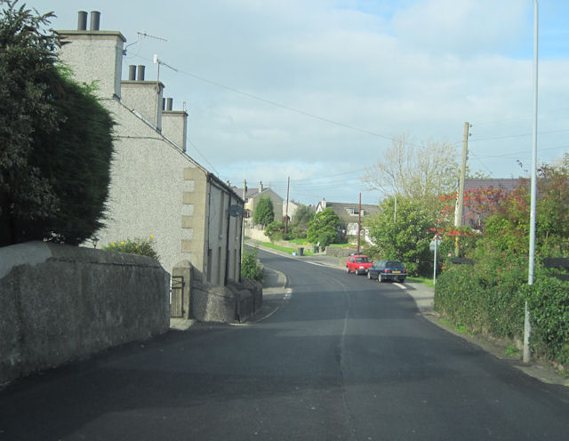
Mechell is a small community located in the county of Anglesey, Wales. Situated on the western side of the island, Mechell is surrounded by picturesque countryside and offers a peaceful and idyllic setting for its residents. The community covers an area of approximately 10 square kilometers and is home to a population of around 500 people.
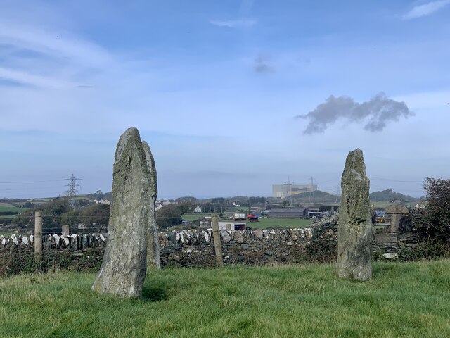
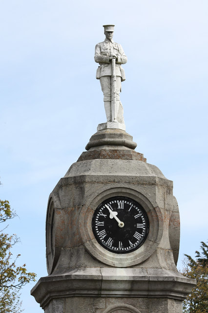
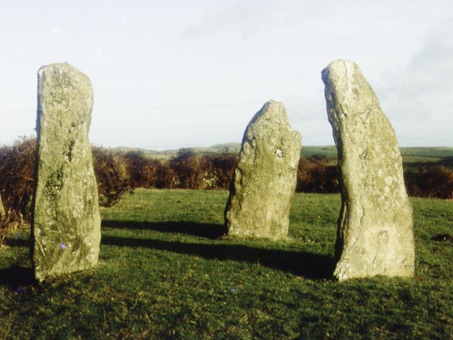
Mechell is known for its rich history, with evidence of human habitation in the area dating back to the Neolithic period. The community is dotted with ancient sites and landmarks, including standing stones and burial chambers, which are a testament to its long-standing heritage.
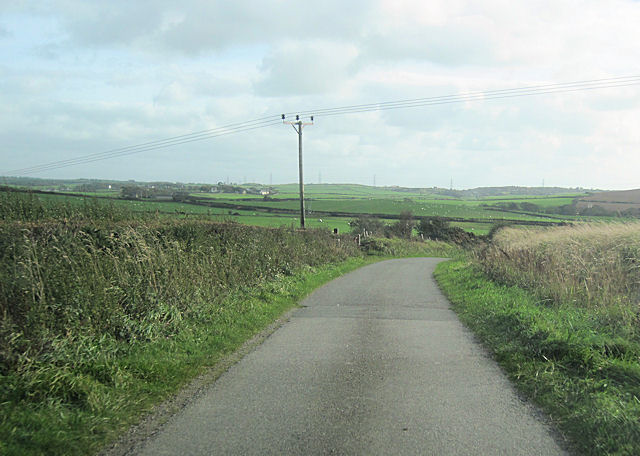
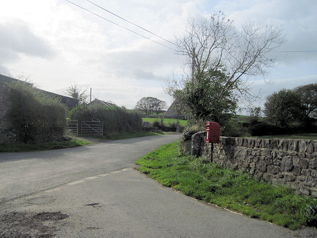
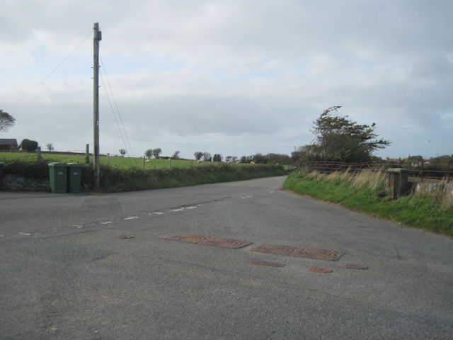
The community is primarily rural, with a landscape dominated by rolling hills, farmland, and small villages. Agriculture plays a significant role in the local economy, with farming activities including livestock rearing and crop cultivation being the main sources of income for many residents.
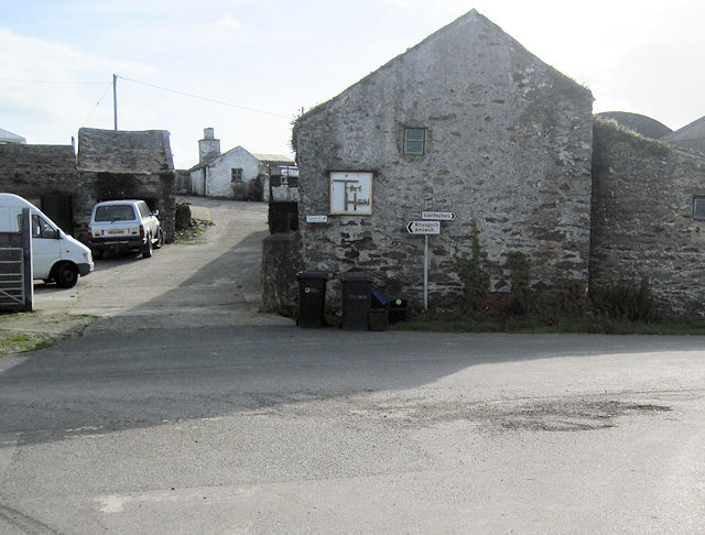
Despite its small size, Mechell has a strong sense of community spirit, with various social and cultural events organized throughout the year. The community also has a primary school, providing education for local children.
For those seeking outdoor activities, Mechell offers ample opportunities for walking, hiking, and exploring the beautiful natural surroundings. The nearby coastline provides stunning views and access to sandy beaches, attracting visitors and locals alike.
In summary, Mechell is a charming and historic community nestled in the countryside of Anglesey, offering a close-knit community, picturesque landscapes, and a rich cultural heritage.
If you have any feedback on the listing, please let us know in the comments section below.
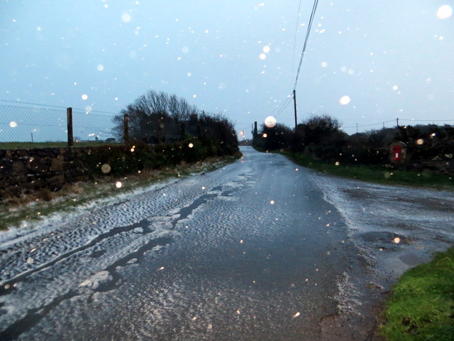
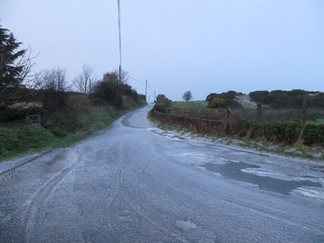
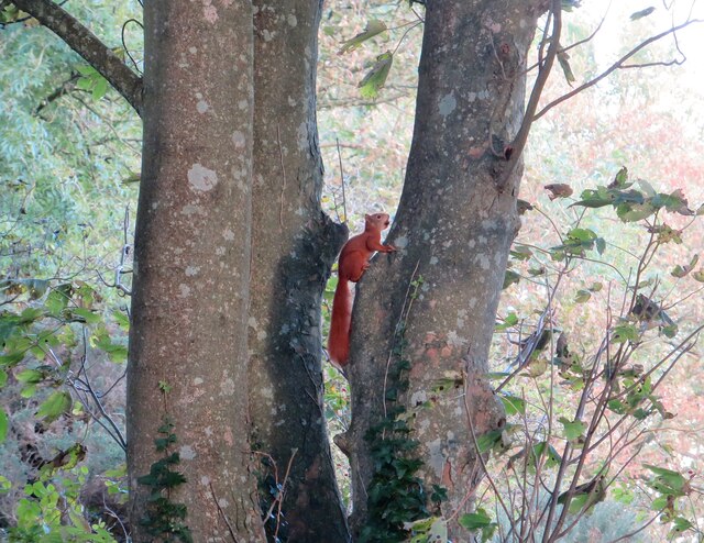
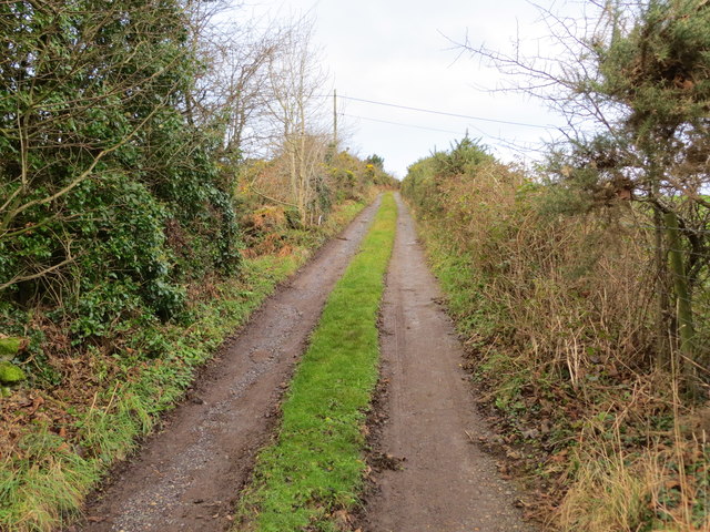
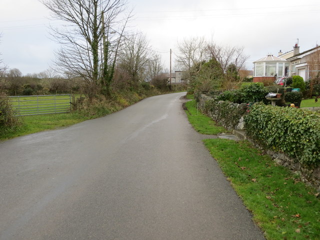
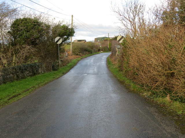
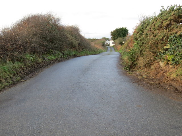
Mechell Images
Images are sourced within 2km of 53.385997/-4.450051 or Grid Reference SH3790. Thanks to Geograph Open Source API. All images are credited.
Mechell is located at Grid Ref: SH3790 (Lat: 53.385997, Lng: -4.450051)
Unitary Authority: Isle of Anglesey
Police Authority: North Wales
What 3 Words
///harmony.groom.sideburns. Near Cemaes Bay, Isle of Anglesey
Nearby Locations
Related Wikis
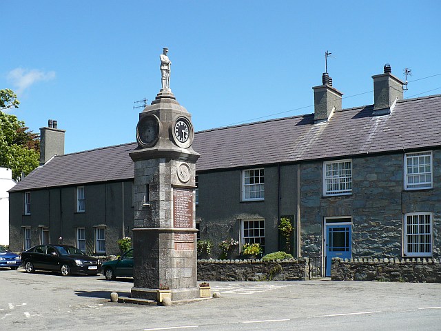
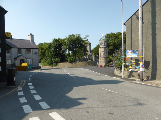
Llanfechell
Llanfechell (from Welsh: llan church + Saint Mechell) is a village in Anglesey, Wales. It is the largest of several small villages and dispersed settlements...

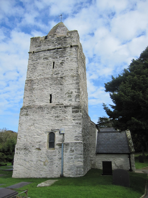
St Mechell's Church, Llanfechell
St Mechell's Church is a medieval church in the village of Llanfechell, Anglesey, Wales. The building dates from the 12th century and was rebuilt in the...

Carrog, Anglesey
Carrog is a village in the community of Llanbadrig, Anglesey, Wales. Recent excavations of a circular hill-top enclosure show that people have inhabited...
Penmorwdd
Penmorwdd is a hamlet in the community of Mechell, Anglesey, Wales, which is 142.4 miles (229.1 km) from Cardiff and 223.1 miles (359.1 km) from London...
Related Videos
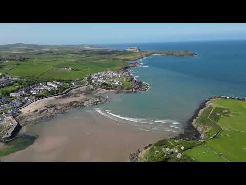
Cemaes Bay Fly Over
A quick drone trip over Cemaes Bay from Gladys Campsite.

Cemaes, Anglesey, Wales
While on holiday in Anglesey we visited the village of Cemaes a few times. It is a charming place and these are a few of the best ...

Vanlife Anglesey Chemaes Bay Exploring #wales #dolphins
This video is a bit Mix and Match, as we have had laptop problems and lost Footage! We are Gary, Mallissa and belle our springer ...

A place of beauty and adventure in North Wales - Traeth Porth Wen (Audio and Narration Version)
In this video we give you a relaxing look at our journey to Traeth Porth Wen a beautiful and majestic location in the North of Wales.
Nearby Amenities
Located within 500m of 53.385997,-4.450051Have you been to Mechell?
Leave your review of Mechell below (or comments, questions and feedback).