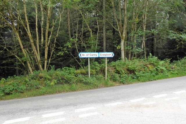
Bridge of Canny
Settlement in Kincardineshire
Scotland
Bridge of Canny
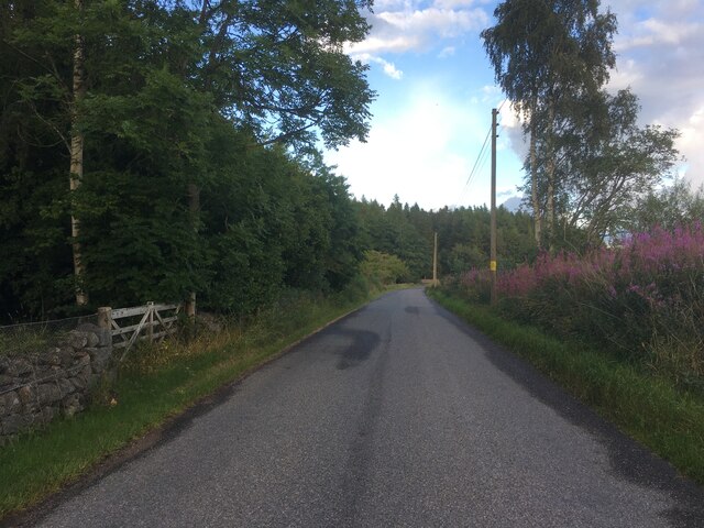
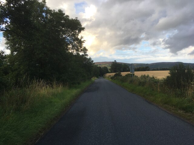
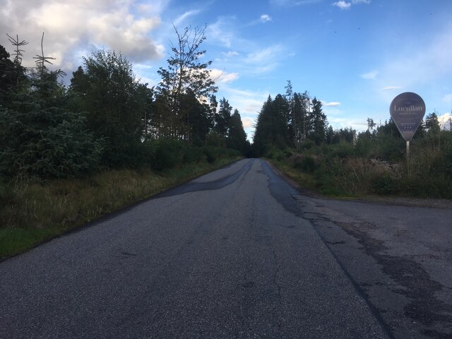
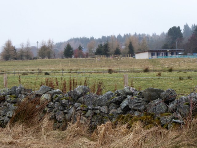
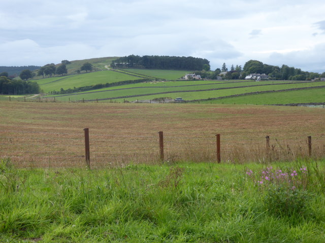
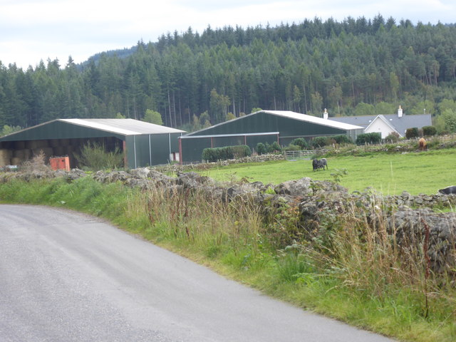
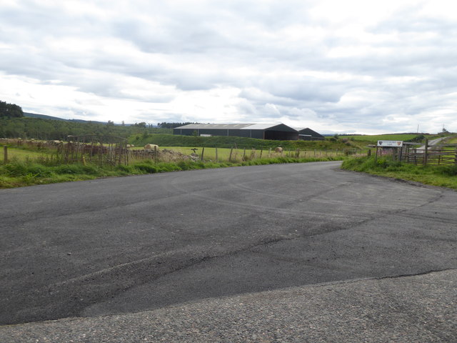
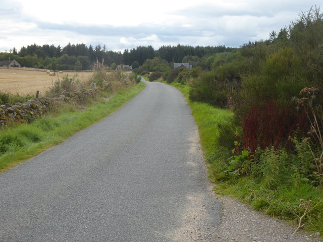
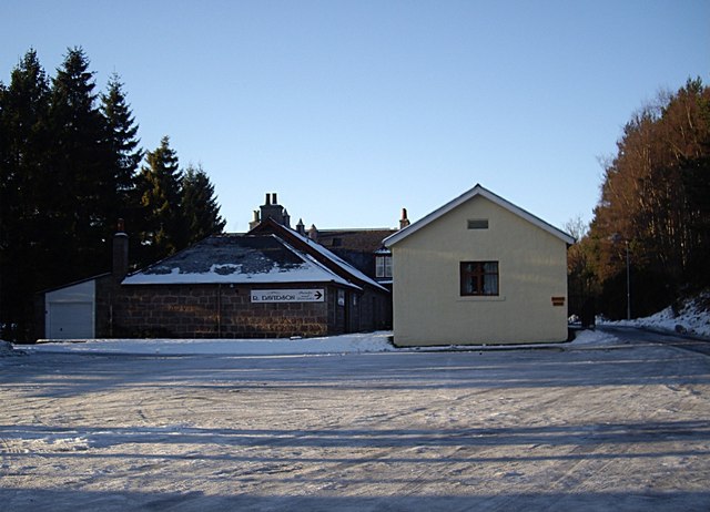
Bridge of Canny is a small village located in the picturesque region of Kincardineshire, Scotland. Situated along the banks of the River Dee, this charming settlement is nestled amidst rolling hills and lush green landscapes, providing a serene and idyllic setting.
The village takes its name from the historic stone bridge that spans the River Dee, connecting the communities on both sides. The bridge itself holds significant historical value, dating back to the 18th century and serving as a vital link for local residents and travelers alike.
Bridge of Canny boasts a close-knit community, with a small population of friendly and welcoming residents. The village offers a range of amenities to cater to its residents' needs, including a local convenience store, a post office, and a cozy pub where locals gather to socialize.
Nature enthusiasts are drawn to Bridge of Canny due to its proximity to the stunning surrounding countryside. The area is known for its abundance of outdoor activities, such as hiking, fishing, and birdwatching. The nearby Cairngorms National Park offers breathtaking landscapes and opportunities for wildlife spotting.
History buffs can explore the rich heritage of Kincardineshire by visiting notable landmarks in the area, including Dunnottar Castle and Fettercairn Distillery, known for producing fine Scotch whisky.
In summary, Bridge of Canny is a picturesque village in Kincardineshire, Scotland, known for its historic bridge, natural beauty, and welcoming community. It is a place where residents and visitors can enjoy the tranquility of rural life and explore the captivating landscapes that surround it.
If you have any feedback on the listing, please let us know in the comments section below.
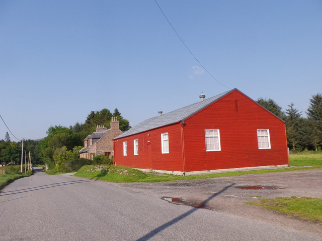
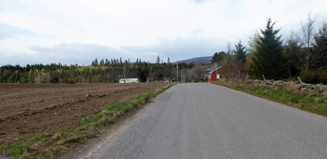
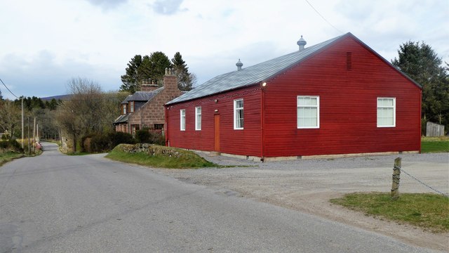
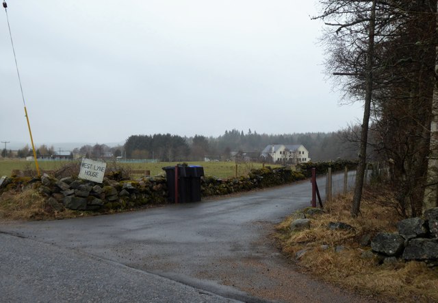
Bridge of Canny Images
Images are sourced within 2km of 57.06509/-2.573115 or Grid Reference NO6597. Thanks to Geograph Open Source API. All images are credited.


Bridge of Canny is located at Grid Ref: NO6597 (Lat: 57.06509, Lng: -2.573115)
Unitary Authority: Aberdeenshire
Police Authority: North East
What 3 Words
///foil.thread.tower. Near Torphins, Aberdeenshire
Nearby Locations
Related Wikis

Glassel railway station
Glassel railway station is a disused railway station in Britain. It served Glassel House, the Mill of Beltie and the local farms and the inhabitants of...

Beltie Burn
The Beltie Burn is a burn in Aberdeenshire, Scotland, which below Torphins and Glassel is known as the Burn of Canny. It begins in the hill of Benaquhallie...

Brathens
Brathens is a village in Aberdeenshire, Scotland. == References ==

Glen o' Dee Hospital
Glen o' Dee Hospital is situated in the west end of Banchory, Aberdeenshire, Scotland. It is a small community hospital that provides services for the...

Mounth
The Mounth ( MUNTH) is the broad upland in northeast Scotland between the Highland Boundary and the River Dee, at the eastern end of the Grampians....

Cluny Crichton Castle
Cluny Crichton Castle (also known as Clounie Crighton Castle) is a ruined 3-story tower house on the southern slopes of the Hill of Fare in Aberdeenshire...

Scolty Hill
Scolty Hill is a small hill south of the Deeside town, Banchory. Its best known feature is the 20m tall tower monument, built in 1840 as a memorial to...
Kinneskie Road drill hall, Banchory
The Kinneskie Road drill hall is a former military installation near Banchory, Scotland. == History == The building was designed as the headquarters of...
Nearby Amenities
Located within 500m of 57.06509,-2.573115Have you been to Bridge of Canny?
Leave your review of Bridge of Canny below (or comments, questions and feedback).