Bridge End
Settlement in Oxfordshire South Oxfordshire
England
Bridge End
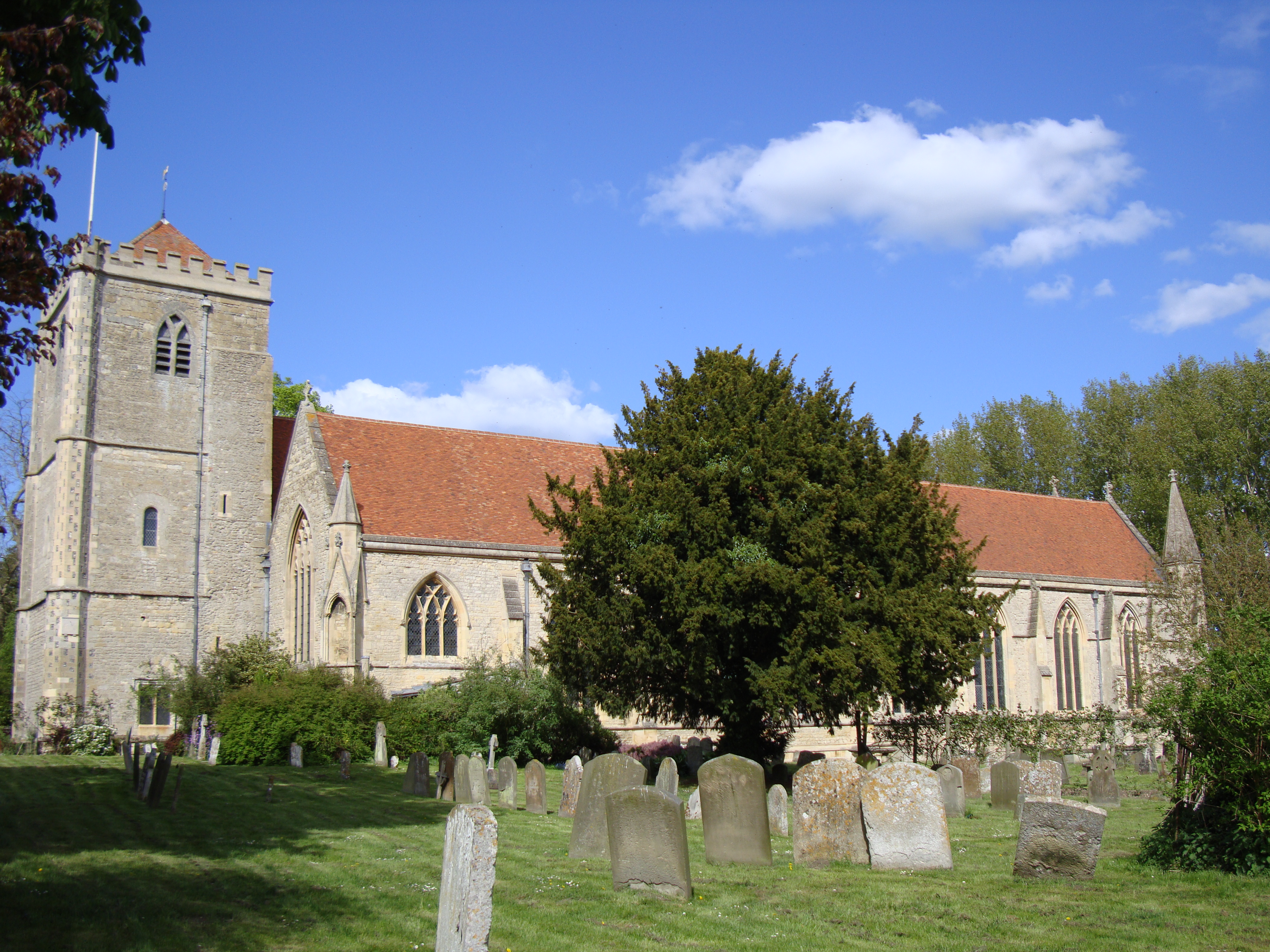
Bridge End is a charming village located in Oxfordshire, England. Situated on the banks of the River Windrush, it offers picturesque views and a tranquil atmosphere. The village is a part of the larger town of Witney and is surrounded by stunning countryside.
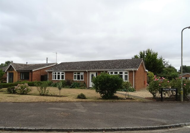
Bridge End is known for its historic architecture, with many buildings dating back to the 17th and 18th centuries. The village center is dominated by a beautiful stone bridge that spans the river, giving the village its name. The bridge itself is a popular spot for locals and visitors alike, offering a great vantage point to admire the surrounding scenery.
The village is home to a close-knit community, with a population of around 500 residents. It boasts a range of amenities, including a post office, a primary school, and a pub, offering a warm and welcoming atmosphere to all who visit.
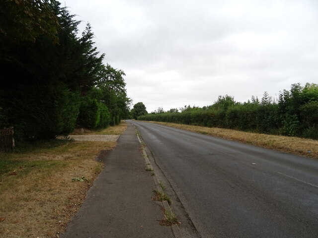
Nature enthusiasts will appreciate the abundance of outdoor activities available in Bridge End and its surroundings. The river provides opportunities for fishing and boating, while the nearby countryside offers scenic walking and cycling routes. The village is also conveniently located near the Cotswolds, an Area of Outstanding Natural Beauty, which allows residents and visitors to explore the stunning landscapes and quaint villages of the region.
Overall, Bridge End is a delightful village that offers a peaceful and idyllic setting, making it an appealing destination for those seeking a break from the hustle and bustle of city life.
If you have any feedback on the listing, please let us know in the comments section below.
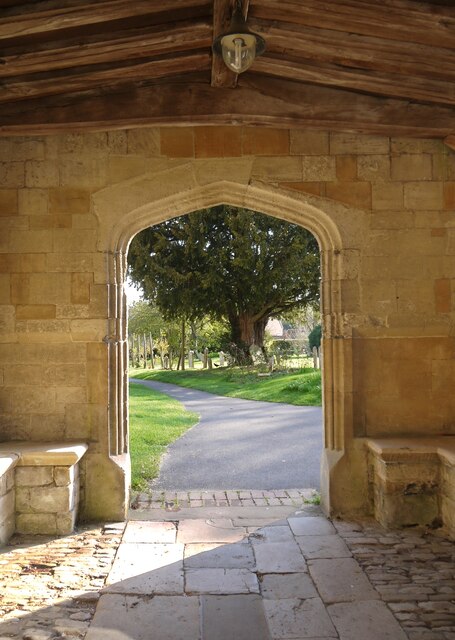
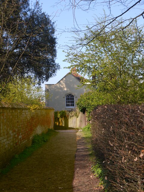
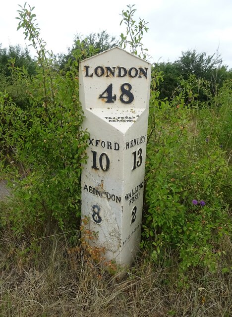
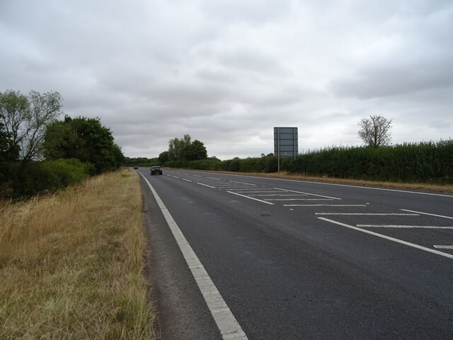
Bridge End Images
Images are sourced within 2km of 51.640375/-1.169324 or Grid Reference SU5793. Thanks to Geograph Open Source API. All images are credited.


Bridge End is located at Grid Ref: SU5793 (Lat: 51.640375, Lng: -1.169324)
Administrative County: Oxfordshire
District: South Oxfordshire
Police Authority: Thames Valley
What 3 Words
///march.according.wink. Near Benson, Oxfordshire
Nearby Locations
Related Wikis
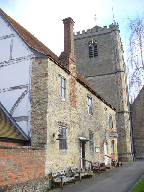
Dorchester Abbey Museum
Dorchester Abbey Museum is a local museum in the town of Dorchester, Oxfordshire, England. It is attached to Dorchester Abbey. The museum occupies two...
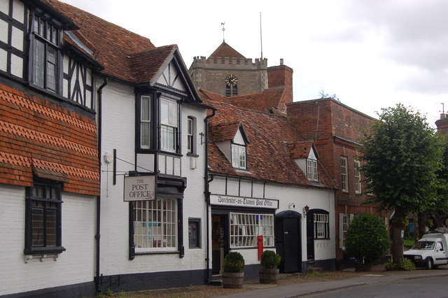
Dorchester on Thames
Dorchester on Thames (or Dorchester-on-Thames) is a village and civil parish in Oxfordshire, about 3 miles (5 km) northwest of Wallingford and 8 miles...
Dorchester Abbey
The Abbey Church of St Peter and St Paul, more usually called Dorchester Abbey, is a Church of England parish church in Dorchester on Thames, Oxfordshire...

Day's Lock
Day's Lock is a lock on the River Thames near Dorchester-on-Thames, Oxfordshire, England on the Dorchester side of the river. The pound lock was built...

Little Wittenham Bridge
Little Wittenham Bridge is a footbridge across the River Thames in England near Dorchester-on-Thames, Oxfordshire. It is just downstream of Day's Lock...

Little Wittenham SSSI
Little Wittenham SSSI is a 68.9-hectare (170-acre) biological Site of Special Scientific Interest north-east of Didcot in Oxfordshire. It is also a Special...

Little Wittenham
Little Wittenham is a village and civil parish on the south bank of the River Thames, northeast of Didcot in South Oxfordshire. In 1974 it was transferred...
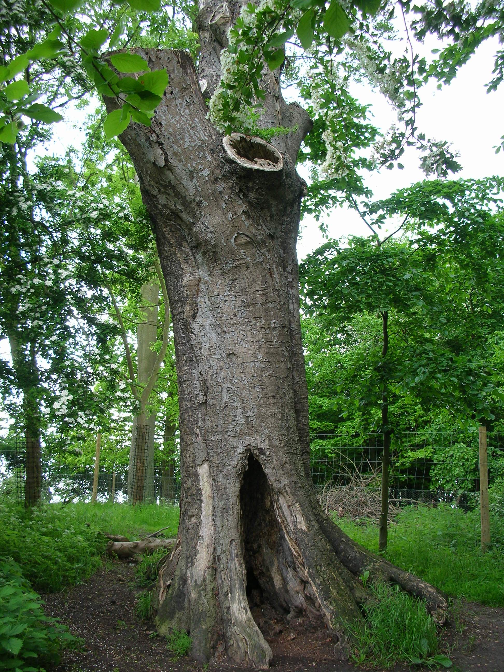
The Poem Tree
The Poem Tree was a beech tree with a poem carved into it by Joseph Tubb, located on Castle Hill at Wittenham Clumps in Oxfordshire, England. The tree...
Nearby Amenities
Located within 500m of 51.640375,-1.169324Have you been to Bridge End?
Leave your review of Bridge End below (or comments, questions and feedback).