Dyke Hills
Heritage Site in Oxfordshire South Oxfordshire
England
Dyke Hills
Dyke Hills, located in Oxfordshire, England, is a renowned heritage site known for its historical significance and breathtaking natural beauty. Situated on the outskirts of the village of Aston Rowant, this site encompasses a vast area of rolling hills, meadows, and ancient woodlands.
The name "Dyke Hills" derives from the presence of an ancient earthwork that runs through the site. This earthwork, known as the Dyke, is believed to date back to the Iron Age and served as a defensive boundary. Today, the Dyke serves as a prominent feature, offering visitors a glimpse into the region's rich past.
The site is a haven for nature enthusiasts, boasting a diverse range of flora and fauna. The woodlands are home to a variety of tree species, including oak, beech, and ash, while the meadows showcase vibrant displays of wildflowers during the summer months. The rolling hills offer panoramic views of the surrounding countryside and provide excellent opportunities for walking, hiking, and birdwatching.
In addition to its natural beauty, Dyke Hills is also an important archaeological site. Excavations have revealed artifacts dating back to the Neolithic and Bronze Age periods, shedding light on the early human activity in the area. These findings have contributed to our understanding of the region's prehistoric settlements and their cultural practices.
Dyke Hills is a popular destination for both locals and tourists alike, offering a unique blend of natural wonders and historical significance. Whether exploring the ancient earthwork, enjoying a leisurely stroll through the woodlands, or simply taking in the breathtaking views, visitors are sure to be captivated by the charm and beauty of this remarkable heritage site.
If you have any feedback on the listing, please let us know in the comments section below.
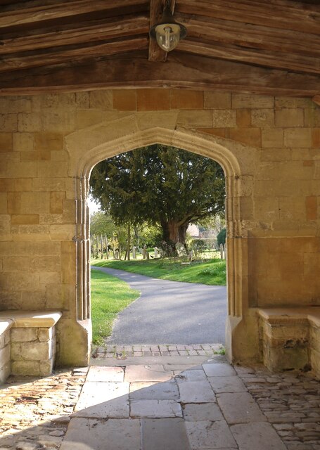
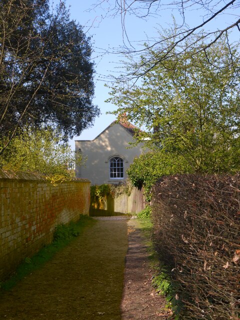
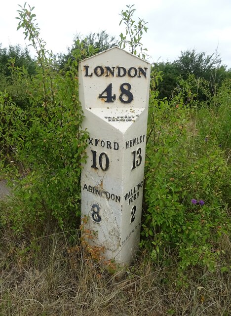
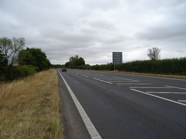
Dyke Hills Images
Images are sourced within 2km of 51.637/-1.168 or Grid Reference SU5793. Thanks to Geograph Open Source API. All images are credited.


Dyke Hills is located at Grid Ref: SU5793 (Lat: 51.637, Lng: -1.168)
Administrative County: Oxfordshire
District: South Oxfordshire
Police Authority: Thames Valley
What 3 Words
///dude.committee.convinces. Near Benson, Oxfordshire
Nearby Locations
Related Wikis
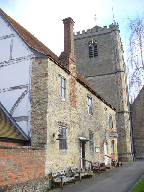
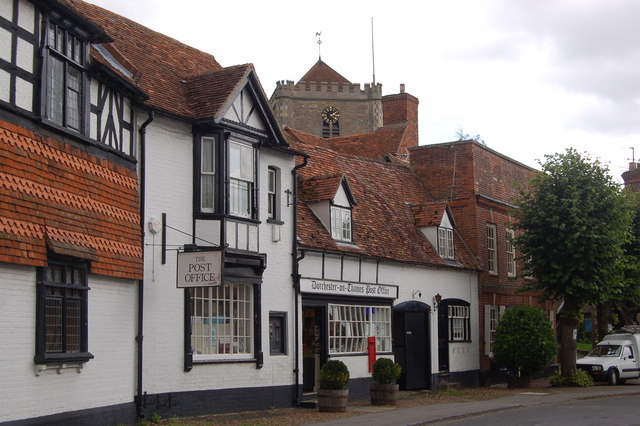
Dorchester Abbey Museum
Dorchester Abbey Museum is a local museum in the town of Dorchester, Oxfordshire, England. It is attached to Dorchester Abbey. The museum occupies two...
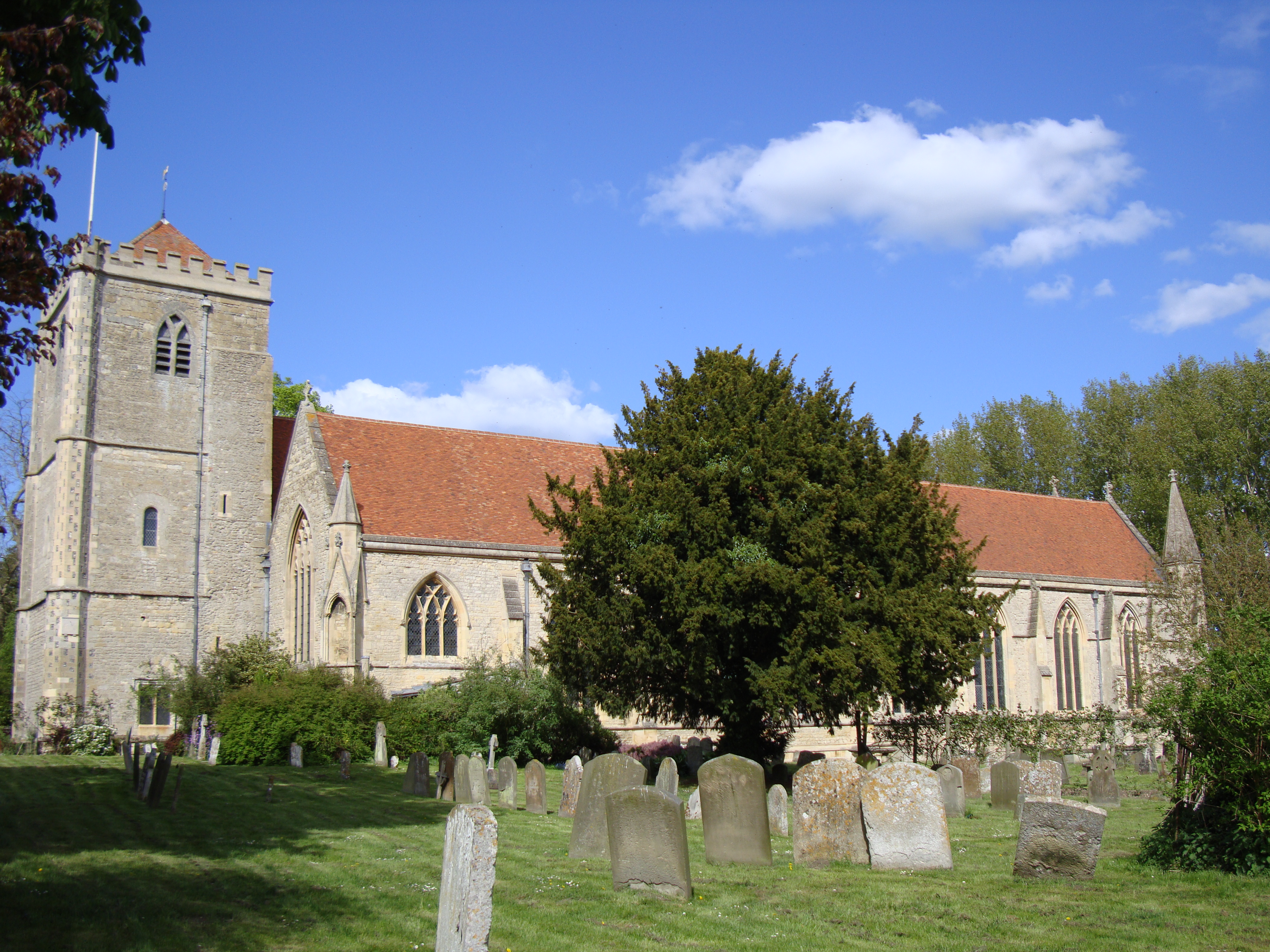
Dorchester Abbey
The Abbey Church of St Peter and St Paul, more usually called Dorchester Abbey, is a Church of England parish church in Dorchester on Thames, Oxfordshire...

Day's Lock
Day's Lock is a lock on the River Thames near Dorchester-on-Thames, Oxfordshire, England on the Dorchester side of the river. The pound lock was built...
Dorchester on Thames
Dorchester on Thames (or Dorchester-on-Thames) is a village and civil parish in Oxfordshire, about 3 miles (5 km) northwest of Wallingford and 8 miles...

Little Wittenham Bridge
Little Wittenham Bridge is a footbridge across the River Thames in England near Dorchester-on-Thames, Oxfordshire. It is just downstream of Day's Lock...

Little Wittenham SSSI
Little Wittenham SSSI is a 68.9-hectare (170-acre) biological Site of Special Scientific Interest north-east of Didcot in Oxfordshire. It is also a Special...
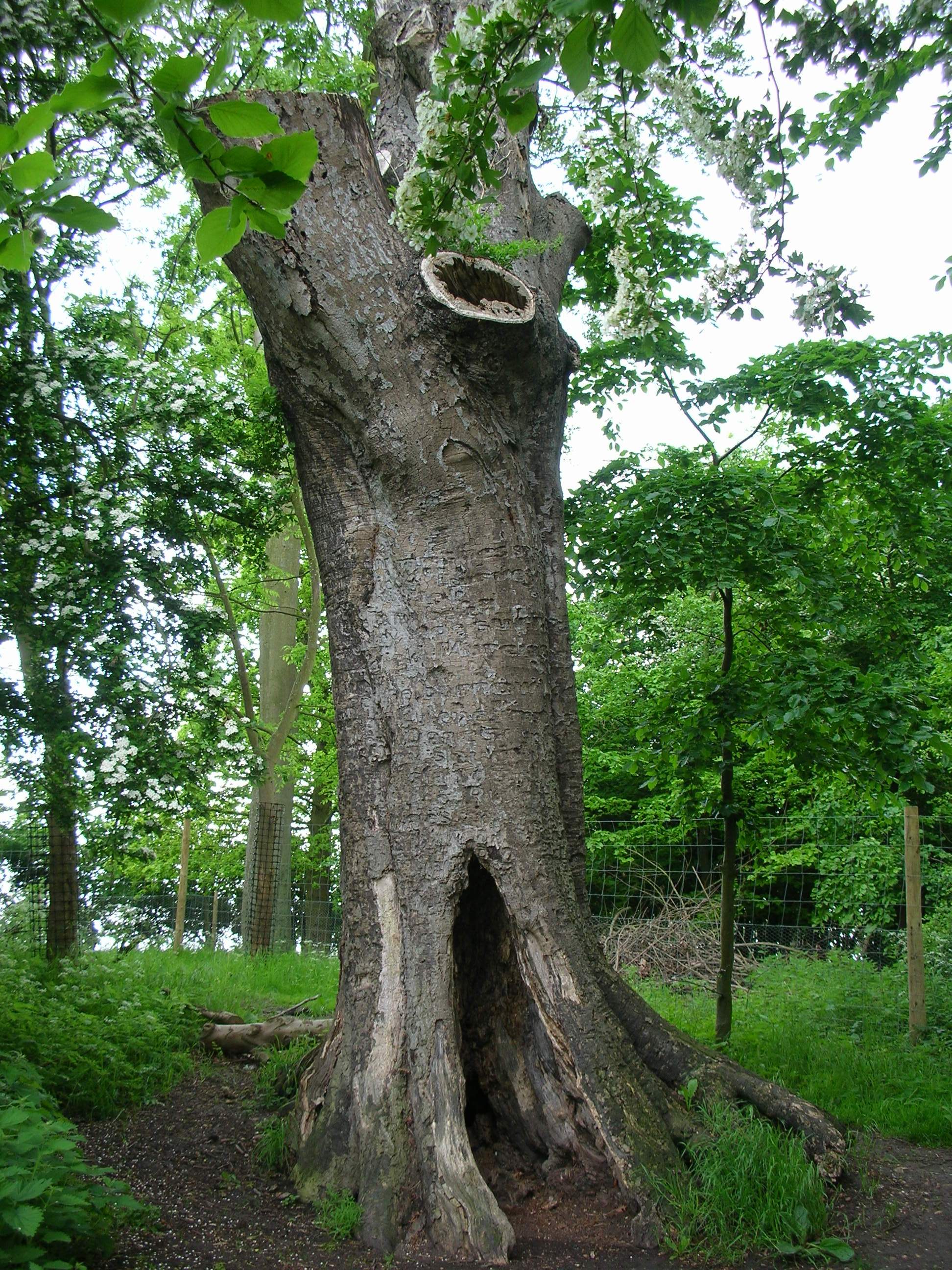
The Poem Tree
The Poem Tree was a beech tree with a poem carved into it by Joseph Tubb, located on Castle Hill at Wittenham Clumps in Oxfordshire, England. The tree...
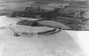
Wittenham Clumps
Wittenham Clumps are a pair of wooded chalk hills in the Thames Valley, in the civil parish of Little Wittenham, in the historic county of Berkshire, although...
Nearby Amenities
Located within 500m of 51.637,-1.168Have you been to Dyke Hills?
Leave your review of Dyke Hills below (or comments, questions and feedback).