Aldclune

Settlement in Perthshire

Scotland

Aldclune

Clunemore pastureland
Clunemore pastureland Credit: Alan Reid

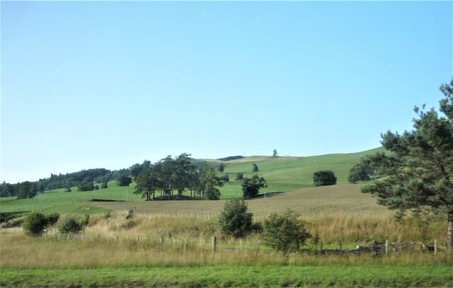
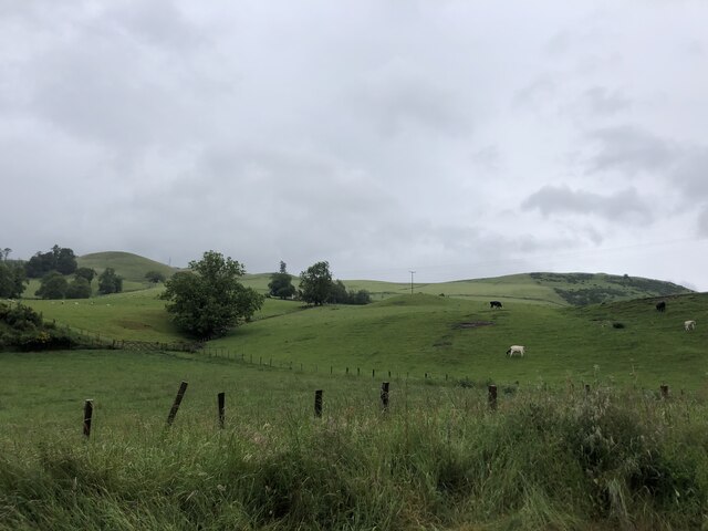
Aldclune is a small village located in the county of Perthshire, Scotland. Situated in the picturesque Highland region, it is nestled amidst rolling hills and lush green landscapes. The village is part of the larger community council area of Strathtay, which encompasses several other nearby settlements.

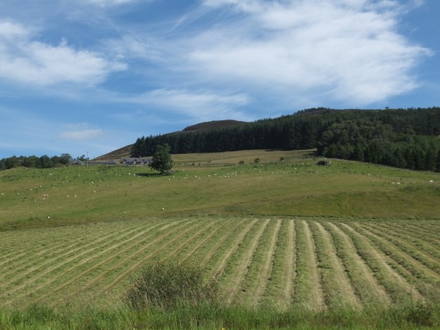
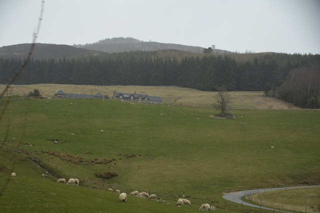
With a population of around 100 people, Aldclune is known for its tranquility and close-knit community. The village mainly consists of traditional stone-built houses, giving it a charming and idyllic ambiance. Its rural setting makes it a popular destination for those seeking a peaceful getaway or a retreat from the bustling city life.

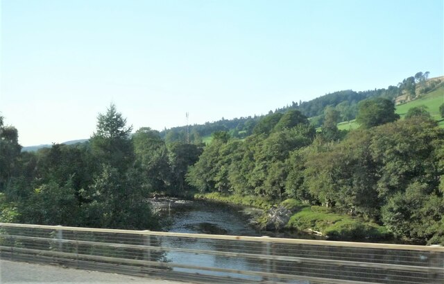
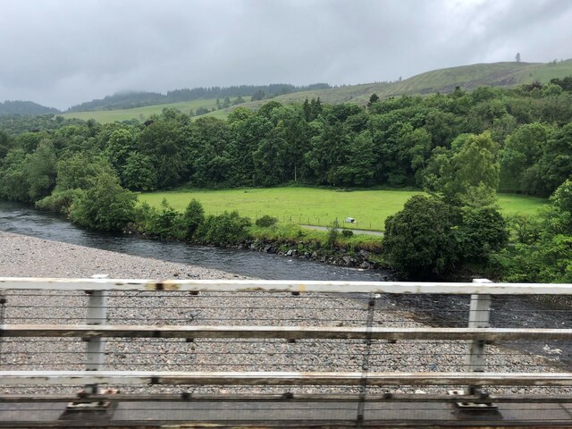
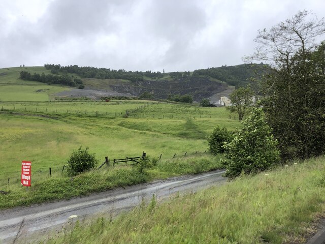
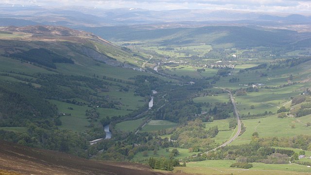
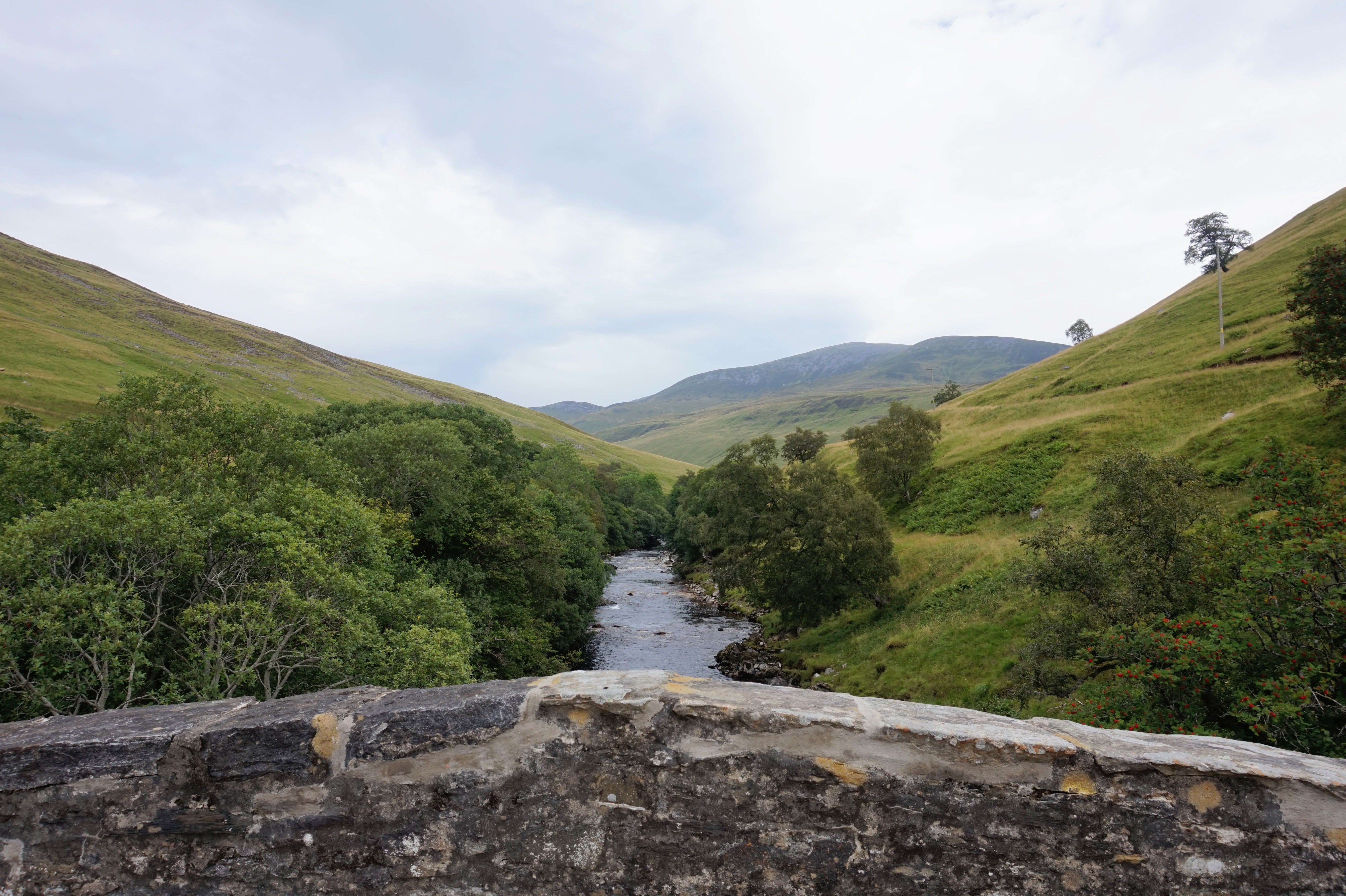
Aldclune is surrounded by natural beauty, with the River Tay flowing nearby and the stunning Tay Forest Park just a short distance away. Outdoor enthusiasts can enjoy a range of activities such as hiking, fishing, and birdwatching in the surrounding areas. The village also offers easy access to various walking trails, including the popular Birnam Oak and Hermitage trails.

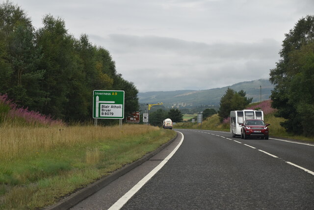
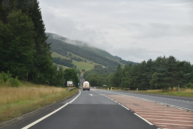
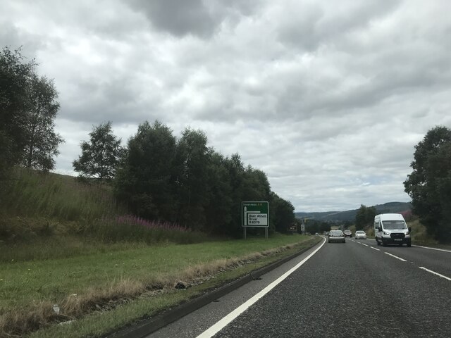
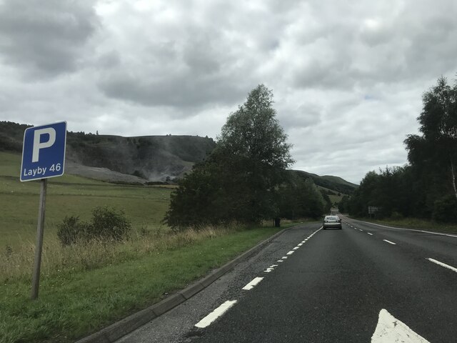
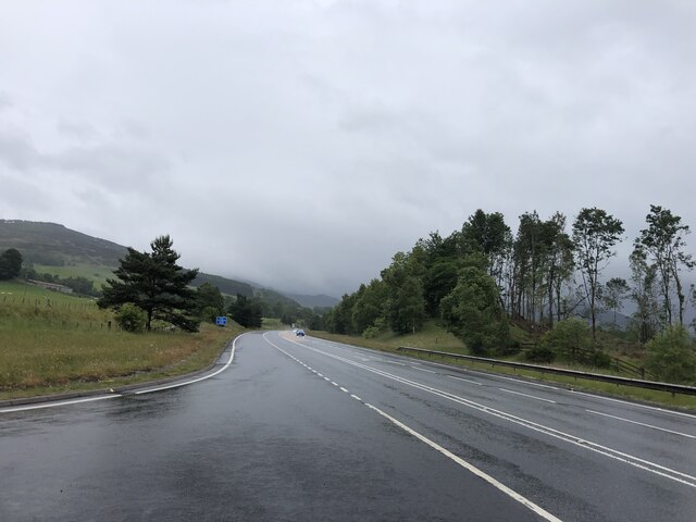
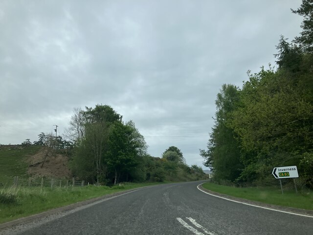
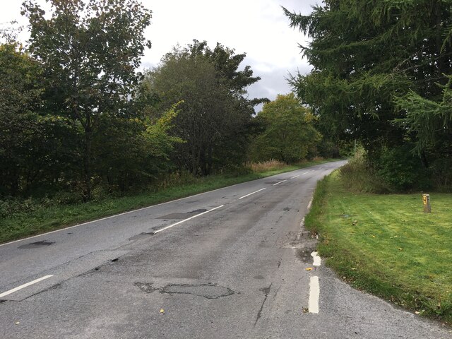
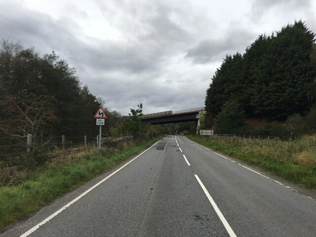
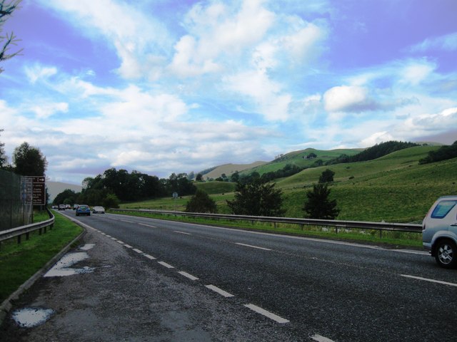
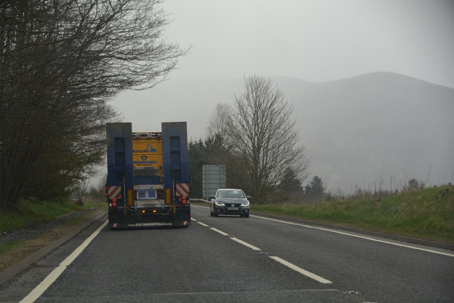
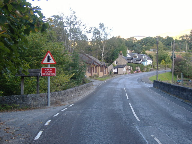
Although Aldclune is primarily a residential area, it benefits from its proximity to larger towns such as Pitlochry and Aberfeldy. These towns provide amenities such as shops, restaurants, and healthcare facilities. Aldclune itself does not have many local services, but it is well-connected by road, making it convenient for residents to access nearby amenities.

Overall, Aldclune offers a peaceful and picturesque setting, making it an ideal place for nature lovers and those seeking a close-knit community in a rural environment.

If you have any feedback on the listing, please let us know in the comments section below.

Aldclune Images

Images are sourced within 2km of 56.750951/-3.798192 or Grid Reference NN9063. Thanks to Geograph Open Source API. All images are credited.

Clunemore pastureland
A9 crossing River Garry
A9, northbound The A9 is a strategic link between the Highlands of Scotland and the Central Belt. It runs 279 miles from junction 5 of the M9 at Polmont to Scrabster. Originally it ran from Edinburgh.
<span class="nowrap"><a title="https://www.sabre-roads.org.uk/wiki/index.php?title=A9" rel="nofollow ugc noopener" href="https://www.sabre-roads.org.uk/wiki/index.php?title=A9">Link</a><img style="margin-left:2px;" alt="External link" title="External link - shift click to open in new window" src="https://s1.geograph.org.uk/img/external.png" width="10" height="10"/></span>
A9, northbound
The A9 is a strategic link between the Highlands of Scotland and the Central Belt. It runs 279 miles from junction 5 of the M9 at Polmont to Scrabster. Originally it ran from Edinburgh. LinkExternal link
A9 - Blair Atholl turnoff The A9 is a strategic link between the Highlands of Scotland and the Central Belt. It runs 279 miles from junction 5 of the M9 at Polmont to Scrabster. Originally it ran from Edinburgh.
<span class="nowrap"><a title="https://www.sabre-roads.org.uk/wiki/index.php?title=A9" rel="nofollow ugc noopener" href="https://www.sabre-roads.org.uk/wiki/index.php?title=A9">Link</a><img style="margin-left:2px;" alt="External link" title="External link - shift click to open in new window" src="https://s1.geograph.org.uk/img/external.png" width="10" height="10"/></span>
A9 - Blair Atholl turnoff
The A9 is a strategic link between the Highlands of Scotland and the Central Belt. It runs 279 miles from junction 5 of the M9 at Polmont to Scrabster. Originally it ran from Edinburgh. LinkExternal link
Signage - A9 northbound
Cattle grazing, Clunebeg
A9 near its junction with the B8079
River Garry near Aldclune
Track leading to Shierglas Quarry
Heading for the A9
Heading for the A9
B8079 at Aldclune
B8079 at Aldclune
B8079 passing under the A9 near Blair Atholl
Hay making below Lettoch
A9, lay-by 44
A9, lay-by 44
A9 lay-by 44
A9 lay-by 44
Perth and Kinross  The A9 Looking along the A9.
Perth and Kinross The A9
Looking along the A9.
Perth and Kinross : Countryside Scenery Looking out across the grassy countryside.
Perth and Kinross : Countryside Scenery
Looking out across the grassy countryside.
Show me another place!

Aldclune is located at Grid Ref: NN9063 (Lat: 56.750951, Lng: -3.798192)

Unitary Authority: Perth and Kinross

Police Authority: Tayside

What 3 Words

///novelists.bicker.messy. Near Blair Atholl, Perth & Kinross

Related Wikis

Aldclune

Aldclune is a village in Perth and Kinross, Scotland. It is on the B8079 road, approximately 1+1⁄2 miles (2.5 kilometres) east of Blair Atholl, on the...

Killiecrankie railway station

The Killiecrankie railway station served the village of Killiecrankie, Perth and Kinross, Scotland from 1864 to 1965. == History == The station was opened...

Killiecrankie

Killiecrankie ( ; (Scottish Gaelic: Coille Chreithnich, meaning aspen wood) is a village in Perth and Kinross, Scotland on the River Garry. It lies at...

Battle of Killiecrankie

The Battle of Killiecrankie (Scottish Gaelic: Blàr Choille Chnagaidh), also referred to as the Battle of Rinrory, took place on 27 July 1689 during the...

Pass of Killiecrankie

Three miles north of Pitlochry by the A9 road, the Pass of Killiecrankie (Gaelic: Coille Chneagaidh), is a gorge lying between Ben Vrackie (841 m (2,759...

River Tilt

The River Tilt is a tributary of the River Garry in Perth and Kinross, Scotland. It is sourced from the confluence of Tarf Water and the Allt Garbh Buidhe...

Loch Moraig

Loch Moraig is a freshwater loch, located 2 miles northeast of Blair Atholl. Loch Moraig was an artificial loch, originally a Snipe marsh, that was dammed...

Fincastle Chapel

Fincastle Chapel, also known as Glenfincastle Chapel, is a former church building in Glen Fincastle, 2.6 mi (4.2 km) south of Blair Atholl, Perth and Kinross...

Nearby Amenities

Located within 500m of 56.750951,-3.798192
Post Box
Collection Times: Mo-Fr 12:00; Sa 11:00
Post Box Design: waggon_top
Post Box Mounting: tree
Post Box Type: lamp
Ref: PH16 45
Royal Cypher: GVIR
Royal Cypher Wikidata: Q33102169
Source: survey
Lat/Long: 56.7519257/-3.8017997
Barrier: cattle_grid
Source: survey
Lat/Long: 56.7532607/-3.7921765
Parking
Layby 45
Access: yes
Fee: no
Parking: layby
Source: survey
Lat/Long: 56.7550608/-3.7993179
Parking
Layby 44
Access: yes
Fee: no
Parking: layby
Source: survey
Lat/Long: 56.7525079/-3.7914153
Killiecrankie 1689
Historic: battlefield
Name Gd: Raon Ruairidh
Lat/Long: 56.7510973/-3.7914875
Historic: memorial
Lat/Long: 56.7516147/-3.7922307
Aldclune
Name Gd: Allt Cluaine
Place: hamlet
Lat/Long: 56.7527708/-3.8032849
Power: pole
Lat/Long: 56.7514925/-3.7902034
Power: pole
Lat/Long: 56.751694/-3.7914179
Power: pole
Lat/Long: 56.7519437/-3.7928458
Power: pole
Lat/Long: 56.7521804/-3.7942714
Power: pole
Lat/Long: 56.7524171/-3.7956638
Power: pole
Lat/Long: 56.7526642/-3.7971108
Power: pole
Lat/Long: 56.7529711/-3.7984581
Power: pole
Lat/Long: 56.7509527/-3.7914938
Power: pole
Lat/Long: 56.7506146/-3.7915341
Power: pole
Lat/Long: 56.7502244/-3.7918211
Power: pole
Lat/Long: 56.749539/-3.7922884
Power: pole
Lat/Long: 56.7522181/-3.7973456
Power: pole
Lat/Long: 56.7516602/-3.7976207
Power: pole
Lat/Long: 56.7510958/-3.7979267
Power: pole
Lat/Long: 56.7507668/-3.7980904
Power: pole
Lat/Long: 56.7504923/-3.7982351
Power: pole
Lat/Long: 56.749872/-3.7985553
Power: pole
Lat/Long: 56.7492737/-3.7988471
Power: pole
Lat/Long: 56.7486871/-3.7991602
Power: pole
Lat/Long: 56.7480693/-3.7994804
Power: pole
Lat/Long: 56.7476648/-3.8002181
Power: pole
Lat/Long: 56.7471355/-3.801148
Power: pole
Lat/Long: 56.7489212/-3.8001636
Power: pole
Lat/Long: 56.7491423/-3.8011835
Power: pole
Lat/Long: 56.7492373/-3.801658
Power: pole
Lat/Long: 56.7496145/-3.8029365
Power: pole
Lat/Long: 56.7500163/-3.8042767
Power: pole
Lat/Long: 56.7503727/-3.8054888
Power: pole
Lat/Long: 56.7529389/-3.8054013
The data included in this document is from www.openstreetmap.org. The data is made available under ODbL.

Have you been to Aldclune?

Leave your review of Aldclune below (or comments, questions and feedback).