Killiecrankie Battle
Heritage Site in Perthshire
Scotland
Killiecrankie Battle
Killiecrankie Battle, located in Perthshire, Scotland, is a renowned heritage site that holds significant historical importance. This site is widely recognized for the Battle of Killiecrankie, a pivotal event that took place on July 27, 1689, during the Jacobite Rising. The battle marked a confrontation between the Jacobite forces, loyal to the exiled King James VII of Scotland, and the government troops supporting William of Orange.
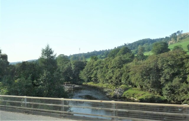
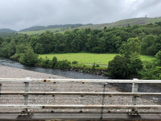
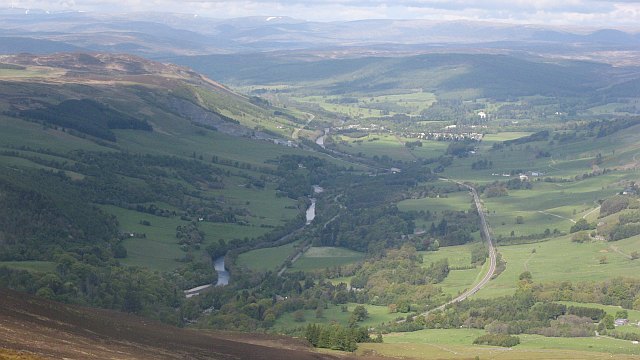
The battle unfolded in the picturesque Pass of Killiecrankie, an area characterized by steep slopes, dense woodland, and the River Garry flowing through it. The Jacobites, led by John Graham of Claverhouse, also known as Bonnie Dundee, successfully launched a surprise attack on the government troops commanded by General Hugh Mackay. Despite being outnumbered, the Jacobites achieved a significant victory, resulting in the government troops' retreat. However, this triumph came at a high cost, with Bonnie Dundee losing his life during the battle.
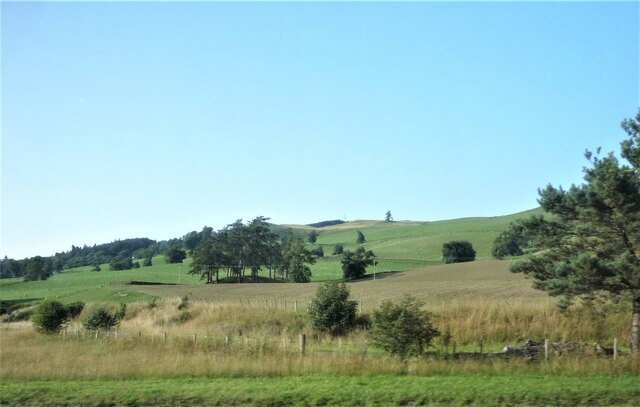
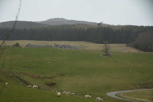
Today, the Killiecrankie Battle site attracts visitors from across the globe who come to explore its historical significance and natural beauty. The location offers various walking trails, allowing visitors to immerse themselves in the landscape that witnessed this fierce conflict. Additionally, the Visitor Centre provides detailed information about the battle, including interactive displays and exhibitions that showcase the weapons and artifacts used during that time. The site also hosts regular reenactments, allowing visitors to visualize the battle and gain a deeper understanding of this crucial event in Scottish history.
If you have any feedback on the listing, please let us know in the comments section below.
Killiecrankie Battle Images
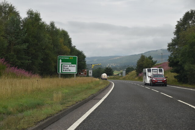
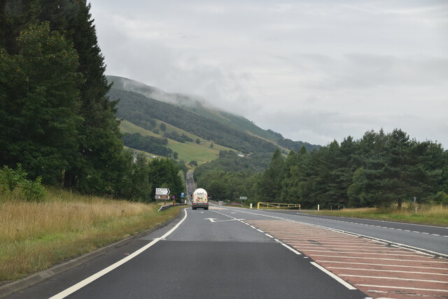
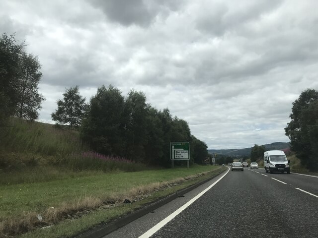
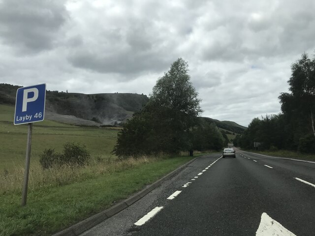
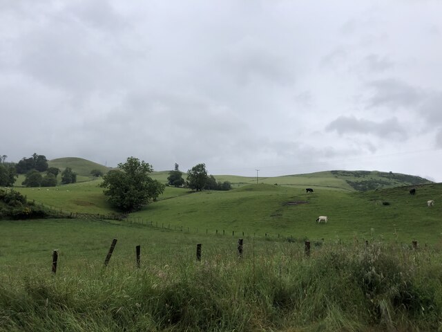
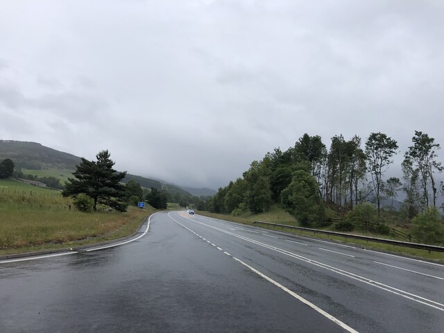
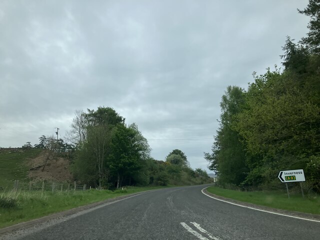
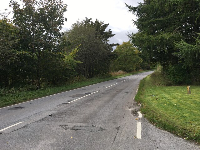
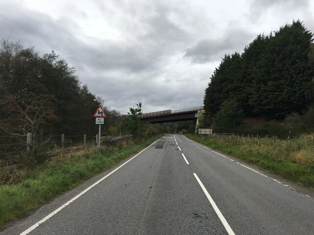
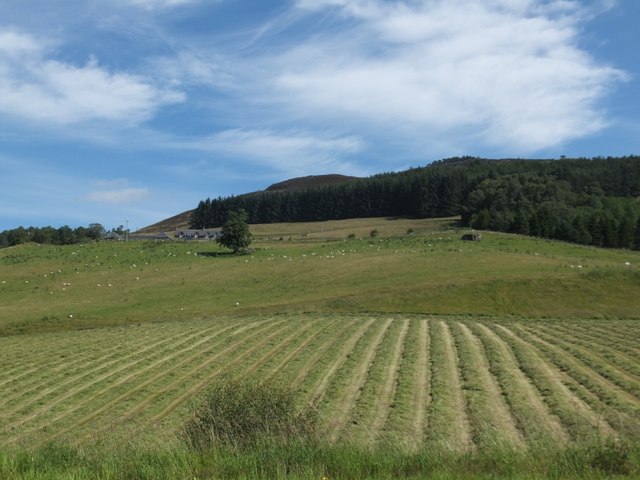
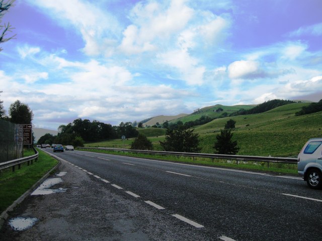
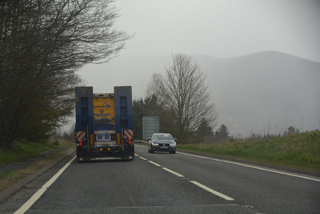
Images are sourced within 2km of 56.75/-3.792 or Grid Reference NN9063. Thanks to Geograph Open Source API. All images are credited.

Killiecrankie Battle is located at Grid Ref: NN9063 (Lat: 56.75, Lng: -3.792)
Unitary Authority: Perth and Kinross
Police Authority: Tayside
What 3 Words
///presented.mull.carpets. Near Blair Atholl, Perth & Kinross
Nearby Locations
Related Wikis
Aldclune
Aldclune is a village in Perth and Kinross, Scotland. It is on the B8079 road, approximately 1+1⁄2 miles (2.5 kilometres) east of Blair Atholl, on the...

Pass of Killiecrankie
Three miles north of Pitlochry by the A9 road, the Pass of Killiecrankie (Gaelic: Coille Chneagaidh), is a gorge lying between Ben Vrackie (841 m (2,759...
Killiecrankie
Killiecrankie ( ; (Scottish Gaelic: Coille Chreithnich, meaning aspen wood) is a village in Perth and Kinross, Scotland on the River Garry. It lies at...

Battle of Killiecrankie
The Battle of Killiecrankie (Scottish Gaelic: Blàr Choille Chnagaidh), also referred to as the Battle of Rinrory, took place on 27 July 1689 during the...

Killiecrankie railway station
The Killiecrankie railway station served the village of Killiecrankie, Perth and Kinross, Scotland from 1864 to 1965. == History == The station was opened...

Loch Moraig
Loch Moraig is a freshwater loch, located 2 miles northeast of Blair Atholl. Loch Moraig was an artificial loch, originally a Snipe marsh, that was dammed...
Linn of Tummel
Linn of Tummel is a 19-hectare (47-acre) woodland property at the confluence of the rivers Garry and Tummel, near Pitlochry in Perthshire, Scotland. It...

Fincastle Chapel
Fincastle Chapel, also known as Glenfincastle Chapel, is a former church building in Glen Fincastle, 2.6 mi (4.2 km) south of Blair Atholl, Perth and Kinross...
Nearby Amenities
Located within 500m of 56.75,-3.792Have you been to Killiecrankie Battle?
Leave your review of Killiecrankie Battle below (or comments, questions and feedback).