Llandyfrïog

Community in Cardiganshire

Wales

Llandyfrïog

The Daffodil from its car park
The Daffodil from its car park Credit: Stuart Logan

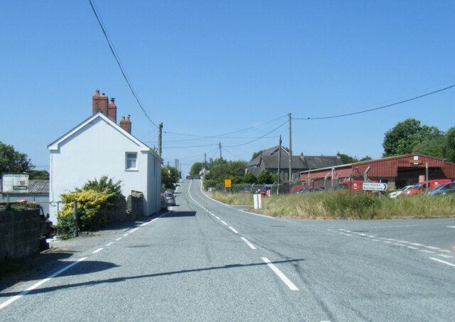
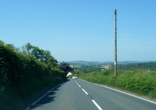
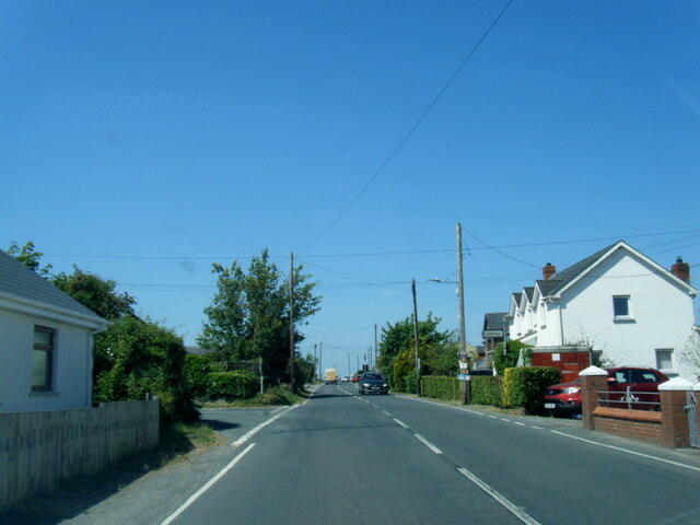
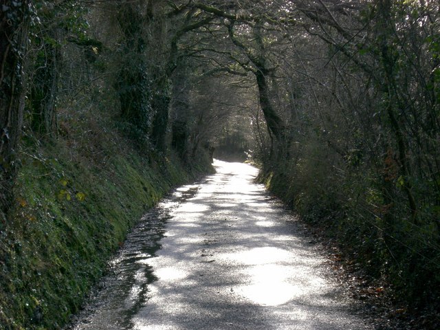
Llandyfrïog is a small rural community located in Cardiganshire, Wales. It is situated near the town of Newcastle Emlyn and is surrounded by picturesque countryside and rolling hills. The community is known for its tranquil and peaceful atmosphere, making it a popular destination for those seeking a quiet retreat.

Llandyfrïog is home to a number of historic buildings, including the 13th-century St. Tyfriog's Church, which is a prominent landmark in the area. The church is known for its beautiful stained glass windows and intricate stonework, making it a popular site for visitors interested in history and architecture.

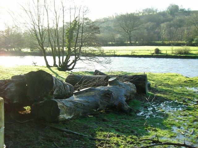
The community is also home to a small number of farms and agricultural businesses, with many residents involved in farming and livestock rearing. The landscape surrounding Llandyfrïog is dotted with fields and pastures, creating a picturesque backdrop for those exploring the area.

Overall, Llandyfrïog is a charming and peaceful community that offers a tranquil escape from the hustle and bustle of modern life. Its rich history, stunning scenery, and friendly residents make it a delightful place to visit or call home.

If you have any feedback on the listing, please let us know in the comments section below.
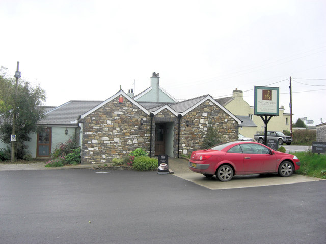
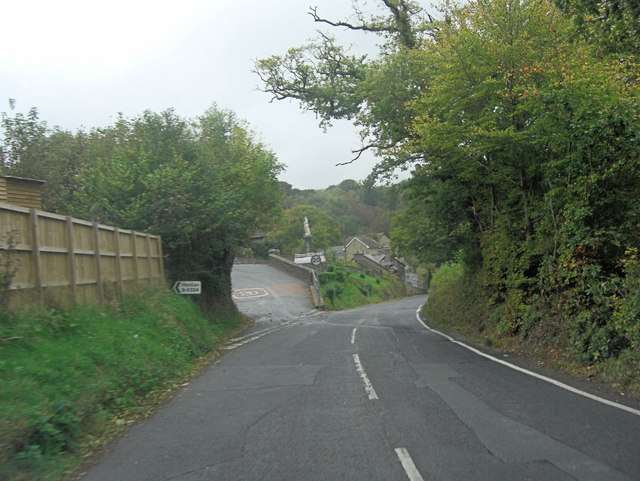
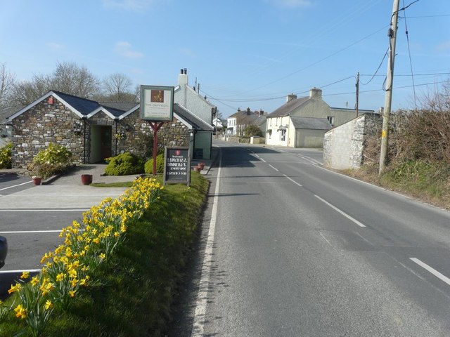
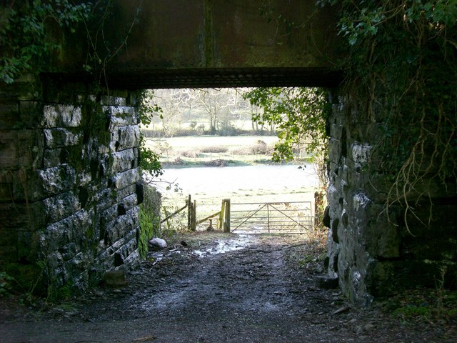
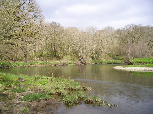
Llandyfrïog Images

Images are sourced within 2km of 52.051265/-4.369676 or Grid Reference SN3741. Thanks to Geograph Open Source API. All images are credited.

The Daffodil from its car park
A475 and B4334 junction The A475 takes an extraordinary sidestep in Aber-banc to facilitate crossing the steep sided valley of Afon Cynllo. The road's situation is complicated by its junction with the B4334. It's a case where less velocity for the velocipede is better than more!
A475 and B4334 junction
The A475 takes an extraordinary sidestep in Aber-banc to facilitate crossing the steep sided valley of Afon Cynllo. The road's situation is complicated by its junction with the B4334. It's a case where less velocity for the velocipede is better than more!
The A475 through Penrhiw-llan With The Daffodil public house and restaurant immediately on the left and in the distance, on the right, the former post office stores, which had a notice in the window that it had closed the previous November.
The A475 through Penrhiw-llan
With The Daffodil public house and restaurant immediately on the left and in the distance, on the right, the former post office stores, which had a notice in the window that it had closed the previous November.
Ordnance Survey Rivet This OS rivet can be found on the step at the NE angle of the church. It marks a point 141.194m above mean sea level.
Ordnance Survey Rivet
This OS rivet can be found on the step at the NE angle of the church. It marks a point 141.194m above mean sea level.
Ordnance Survey Cut Mark This OS cut mark can be found on the south parapet of the bridge. It marks a point 42.043m above mean sea level.
Ordnance Survey Cut Mark
This OS cut mark can be found on the south parapet of the bridge. It marks a point 42.043m above mean sea level.
Ordnance Survey Cut Mark This OS cut mark can be found on the east buttress of the railway bridge. It marks a point 43.445m above mean sea level.
Ordnance Survey Cut Mark
This OS cut mark can be found on the east buttress of the railway bridge. It marks a point 43.445m above mean sea level.
Churn Stand
Churn Stand
Ordnance Survey Cut Mark This OS cut mark can be found on the NW buttress of the railway bridge. It marks a point 48.961m above mean sea level.
Ordnance Survey Cut Mark
This OS cut mark can be found on the NW buttress of the railway bridge. It marks a point 48.961m above mean sea level.
Ordnance Survey Cut Mark This OS cut mark can be found on the NW parapet of the railway bridge. It marks a point 61.254m above mean sea level.
Ordnance Survey Cut Mark
This OS cut mark can be found on the NW parapet of the railway bridge. It marks a point 61.254m above mean sea level.
Ordnance Survey Cut Mark This OS cut mark can be found on the NW parapet of the bridge. It marks a point 52.629m above mean sea level.
Ordnance Survey Cut Mark
This OS cut mark can be found on the NW parapet of the bridge. It marks a point 52.629m above mean sea level.
A475 at Horeb Royal Mail depot
A475 near Dolifor
A475 near Dolifor
A475 in Penrhywllan
A475 in Penrhywllan
A475 at Aberbanc village boundary
Bangor Teifi flood plain This is a very beautiful area of the Teifi Valley, enjoyed here in the winter light of February.
Bangor Teifi flood plain
This is a very beautiful area of the Teifi Valley, enjoyed here in the winter light of February.
Trebedw Lane The way the trees arch over the lane always looks magical and mysterious.
Trebedw Lane
The way the trees arch over the lane always looks magical and mysterious.
Welsh Slate and Gorse This type of rock and flora is indicative of the area.  The gorse which grows wild has a strong scent like coconut.
Welsh Slate and Gorse
This type of rock and flora is indicative of the area. The gorse which grows wild has a strong scent like coconut.
Disused Railway Bridge Remnants of this now dismantled railway are a feature of the walk from Trebedw along the Bangor Teifi.  Through the tunnel you can see a part of the river flood plain.
Disused Railway Bridge
Remnants of this now dismantled railway are a feature of the walk from Trebedw along the Bangor Teifi. Through the tunnel you can see a part of the river flood plain.
Show me another place!

Llandyfrïog is located at Grid Ref: SN3741 (Lat: 52.051265, Lng: -4.369676)

Unitary Authority: Ceredigion

Police Authority: Dyfed-Powys

Also known as: Llandyfriog

What 3 Words

///longer.reporting.built. Near Llandysul, Ceredigion

Nearby Locations

Llandyfrïog Llandyfriog

Related Wikis

Glyncaled

Glyncaled is a hamlet in the community of Llandyfriog, Ceredigion, Wales, which is 64.8 miles (104.3 km) from Cardiff and 185.8 miles (299 km) from London...

Bangor Teifi

Bangor Teifi is a hamlet in the community of Llandyfriog, Ceredigion, Wales, which is 63.7 miles (102.5 km) from Cardiff and 184.7 miles (297.2 km) from...

Trebedw

Trebedw is a small village in the community of Llandyfriog, Ceredigion, Wales. Trebedw is represented in the Senedd by Elin Jones (Plaid Cymru) and is...
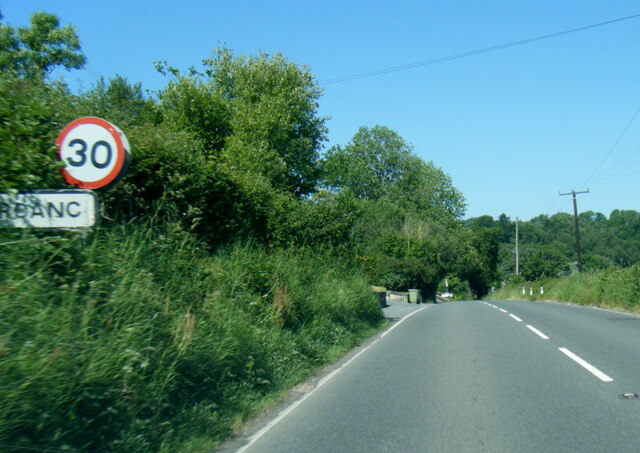
Aberbanc

Aber-banc is a village in the Welsh county of Ceredigion. Aber-banc is situated on a sharp bend on the A475 approximately 4 miles east of Newcastle Emlyn...

Nearby Amenities

Located within 500m of 52.051265,-4.369676
The data included in this document is from www.openstreetmap.org. The data is made available under ODbL.

Have you been to Llandyfrïog?

Leave your review of Llandyfrïog below (or comments, questions and feedback).