Llan-ddew

Community in Brecknockshire

Wales

Llan-ddew

Lane crossing the Honddu via the Anod Bridge A quiet spot.
Lane crossing the Honddu via the Anod Bridge Credit: Jeremy Bolwell

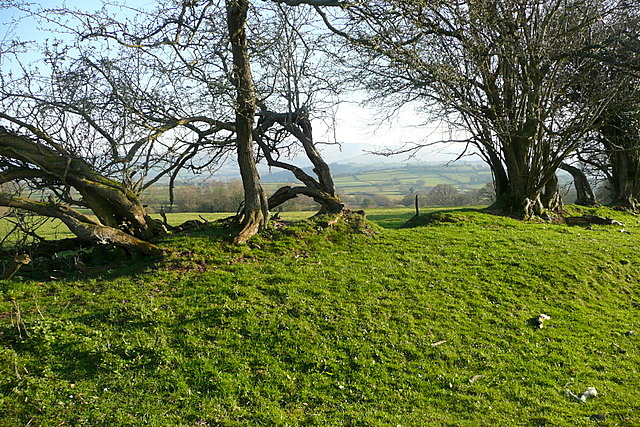
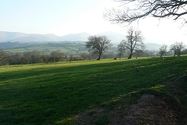
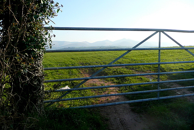
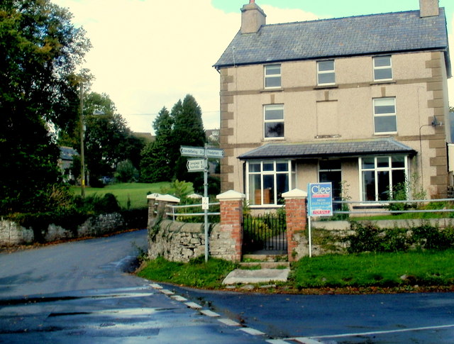
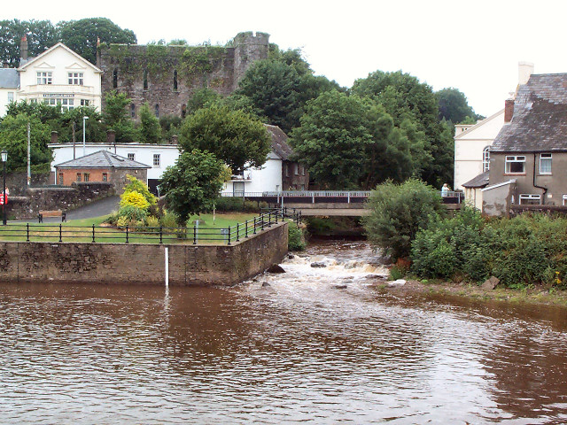
Llan-ddew is a small community located in the county of Brecknockshire, Wales. Situated in the heart of the Brecon Beacons National Park, it is surrounded by breathtaking natural beauty and offers a tranquil and picturesque setting for residents and visitors alike.

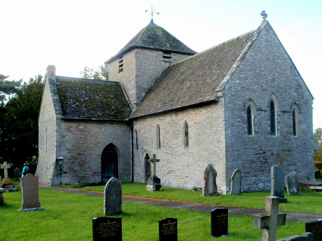
The community is home to a population of approximately 500 people, making it a close-knit and friendly place to live. Despite its small size, Llan-ddew has a rich history that can be traced back to medieval times. The area is dotted with ancient ruins and historical landmarks, including the ruins of Llan-ddew Castle, which dates back to the 12th century.

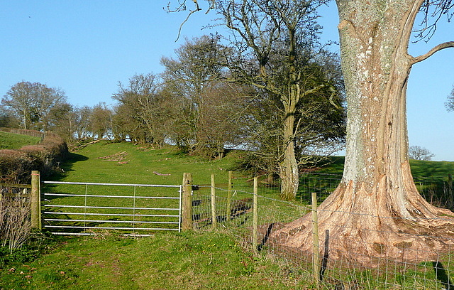
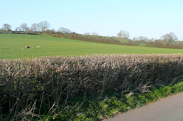
The community is predominantly rural, with agriculture playing a significant role in the local economy. The rolling hills and fertile land provide ample opportunities for farming, and many residents are involved in livestock rearing and crop cultivation.

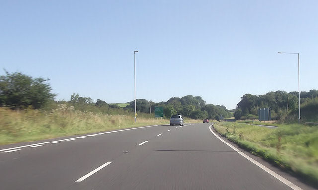
Llan-ddew is also a popular destination for outdoor enthusiasts and nature lovers. The surrounding national park offers a wide range of outdoor activities, including hiking, mountain biking, and horseback riding. The nearby rivers and lakes provide opportunities for fishing and boating.

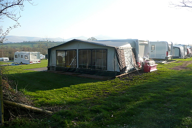
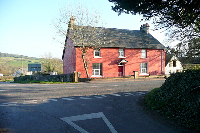
In terms of amenities, Llan-ddew has a primary school, a village hall, and a local pub that serves as a social hub for residents. While the community may not have a wide range of services, the nearby town of Brecon offers a more comprehensive range of amenities, including shops, supermarkets, and healthcare facilities.

Overall, Llan-ddew is an idyllic community that combines stunning natural surroundings with a close-knit and welcoming community spirit. It offers a peaceful and charming lifestyle for those seeking a rural retreat within the beautiful Welsh countryside.

If you have any feedback on the listing, please let us know in the comments section below.
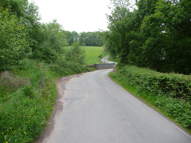
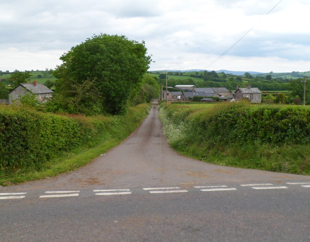
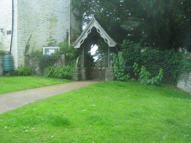
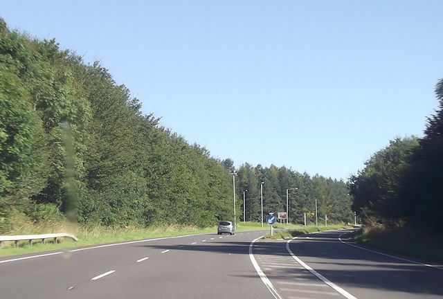
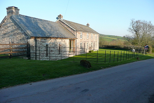
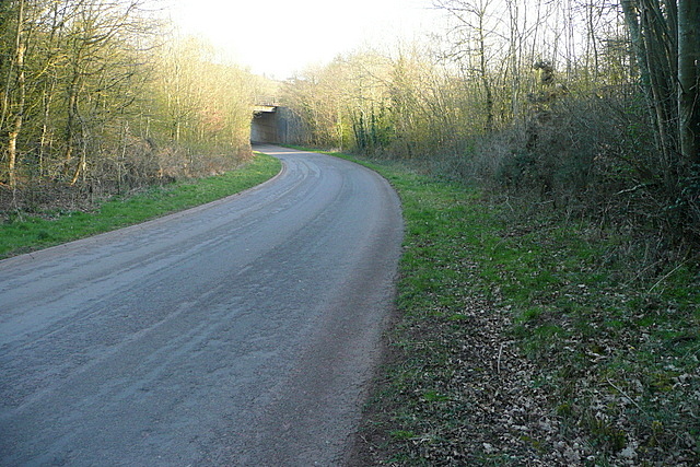
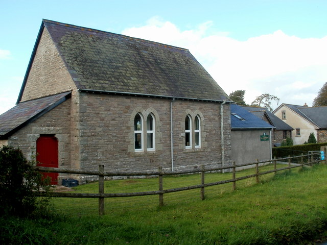
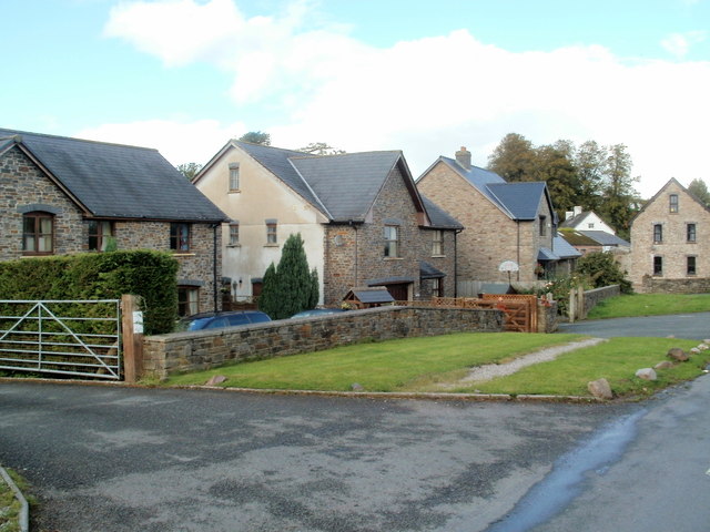
Llan-ddew Images

Images are sourced within 2km of 51.95884/-3.366677 or Grid Reference SO0629. Thanks to Geograph Open Source API. All images are credited.

Lane crossing the Honddu via the Anod Bridge A quiet spot.
Lane crossing the Honddu via the Anod Bridge
A quiet spot.
Road to Lower Pontgwilym Farm near Brecon Viewed from the B4520.
Road to Lower Pontgwilym Farm near Brecon
Viewed from the B4520.
Lych Gate at St David's Church in Llanddew
Start of dual carriageway at junction of B4602 East of Brecon
Start of dual carriageway at junction of B4602
East of Brecon
North end of A470 dual Carriageway east of Brecon
Bishop's Meadow camping park Even in March there are plenty of pitches in use.  Mind you, that's not a bad view to wake  up to is it?
Bishop's Meadow camping park
Even in March there are plenty of pitches in use. Mind you, that's not a bad view to wake up to is it?
Bridleway from Bishop's Meadow This bridleway is very pleasant, gently ascending between banks and pasture land.
Bridleway from Bishop's Meadow
This bridleway is very pleasant, gently ascending between banks and pasture land.
Bridleway towards Bishop's Meadow This gently descending bridleway has a great view over banks towards the Brecon Beacons.
Bridleway towards Bishop's Meadow
This gently descending bridleway has a great view over banks towards the Brecon Beacons.
View from the bridleway The fields next to the bridleway to Bishop's Meadow have a wonderful view over the Usk valley towards the Brecon Beacons.
View from the bridleway
The fields next to the bridleway to Bishop's Meadow have a wonderful view over the Usk valley towards the Brecon Beacons.
Pasture near Llanddew There a few sheep out.  Being March the hedge cutting season is coming to an end.
Pasture near Llanddew
There a few sheep out. Being March the hedge cutting season is coming to an end.
Glimpse of the Brecon Beacons I only had a couple of hours to do a quick walk before dinner.  Therefore I had to make do with distant glimpses of the Brecon Beacons.
Glimpse of the Brecon Beacons
I only had a couple of hours to do a quick walk before dinner. Therefore I had to make do with distant glimpses of the Brecon Beacons.
Troedyrharn Adjacent to the B4602, and the original A road into Brecon.  The far side of this farmhouse has a lovely view over the Usk valley towards the Brecon Beacons.
Troedyrharn
Adjacent to the B4602, and the original A road into Brecon. The far side of this farmhouse has a lovely view over the Usk valley towards the Brecon Beacons.
Cottages at Troedyrharn These look like barn conversions as holiday lets.  One of them (maybe both) was for sale.  There is a lovely view to the right across the Usk valley towards the Brecon Beacons.
Cottages at Troedyrharn
These look like barn conversions as holiday lets. One of them (maybe both) was for sale. There is a lovely view to the right across the Usk valley towards the Brecon Beacons.
Towards the A470 underpass This lane has been diverted and widened as part of the construction of an underpass for the A470.
Towards the A470 underpass
This lane has been diverted and widened as part of the construction of an underpass for the A470.
Llanddew Village Hall Llanddew is a small village about 3km from Brecon. The major part of this building, of stone, was originally the village school dating from 1878. It was also used for parish meetings. After the school closed down at the end of March 1927, the building became known as The Church Hall. Children evacuated to the area in the Second World War were educated here. 
A few years after the end of the war, the Women's Institute arranged for a corrugated annex to be built, to provide toilet and kitchen facilities. Since renovation and modernisation in 1991, the building has been known as the Village Hall.
Llanddew Village Hall
Llanddew is a small village about 3km from Brecon. The major part of this building, of stone, was originally the village school dating from 1878. It was also used for parish meetings. After the school closed down at the end of March 1927, the building became known as The Church Hall. Children evacuated to the area in the Second World War were educated here. A few years after the end of the war, the Women's Institute arranged for a corrugated annex to be built, to provide toilet and kitchen facilities. Since renovation and modernisation in 1991, the building has been known as the Village Hall.
Llanddew houses Houses in the SW of the village, near the Village Hall. <a title="https://www.geograph.org.uk/photo/3339686" href="https://www.geograph.org.uk/photo/3339686">Link</a>
Llanddew houses
Houses in the SW of the village, near the Village Hall. Link
Llanddew crossroads Left for Llandefaelog (2½), ahead for Llaneglwys (6) & Talachddu (2¼), right for Troedyrharn (1). 
The sign arm pointing south towards the camera shows Brecon 1¾. 
All distances on the sign are in miles.
Llanddew crossroads
Left for Llandefaelog (2½), ahead for Llaneglwys (6) & Talachddu (2¼), right for Troedyrharn (1). The sign arm pointing south towards the camera shows Brecon 1¾. All distances on the sign are in miles.
Grade I listed Church of Saint David, Llanddew The church is located on the west side of crossroads. <a title="https://www.geograph.org.uk/photo/3339750" href="https://www.geograph.org.uk/photo/3339750">Link</a>
The cruciform (cross-shaped) church dates from the 13th century, which according to one source makes it the oldest surviving church in the historic county of Brecknockshire (Breconshire).
The central tower dates from 1623, perhaps a replacement of an earlier tower. 
The church was Grade I listed (the highest category) in January 1963.
Grade I listed Church of Saint David, Llanddew
The church is located on the west side of crossroads. Link The cruciform (cross-shaped) church dates from the 13th century, which according to one source makes it the oldest surviving church in the historic county of Brecknockshire (Breconshire). The central tower dates from 1623, perhaps a replacement of an earlier tower. The church was Grade I listed (the highest category) in January 1963.
Show me another place!

Llan-ddew is located at Grid Ref: SO0629 (Lat: 51.95884, Lng: -3.366677)

Unitary Authority: Powys

Police Authority: Dyfed Powys

Also known as: Llanddew

What 3 Words

///committee.dared.suitable. Near Brecon, Powys

Nearby Locations

Llan-ddew Llanddew

Related Wikis

Llanddew

Llanddew is a small village and community about 2 km or 1 mile north-east of Brecon, Powys, Wales. The population as of the 2011 UK Census was 232. It...

Coleg Powys

Coleg Powys was a further education establishment in the County of Powys, Mid Wales. It had main campuses at Brecon, Llandrindod Wells and Newtown and...

Brecon transmitting station

The Brecon transmitting station was originally built by the IBA in 1970 as a relay for VHF 405-line analogue television: one of the last 405-line TV stations...

River Honddu (Powys)

The River Honddu (pronounced [hɔnðɪ] i.e. hon-thee) is a river in the county of Powys, mid Wales. Early recorded versions of the name are of the form Hothenei...

Brecon East

Brecon East' (Welsh: Dwyrain Aberhonddu), formerly St Mary, is the name of an electoral ward in the town of Brecon, Powys, Wales. It covers the town centre...

Brecon War Memorial Hospital

Brecon War Memorial Hospital (Welsh: Ysbyty Coffa Rhyfel Brycheiniog) is a health facility in Cerrigcochion Road, Brecon, Powys, Wales. It is managed by...

Infantry Battle School

The Infantry Battle School, Brecon is a British Army training establishment at Dering Lines in Brecon, Wales. == History == The Infantry Battle School...

Brecon Free Street railway station

Brecon Free Street railway station served Brecon, in the historic Welsh county of Brecknockshire, now Powys. The Brecon and Merthyr Railway obtained an...

Have you been to Llan-ddew?

Leave your review of Llan-ddew below (or comments, questions and feedback).