Llandderfel
Community in Merionethshire
Wales
Llandderfel
Llandderfel is a small community located in the county of Merionethshire, Wales. It is situated in the northern part of the country, nestled within the picturesque countryside of the Dyfi Valley.
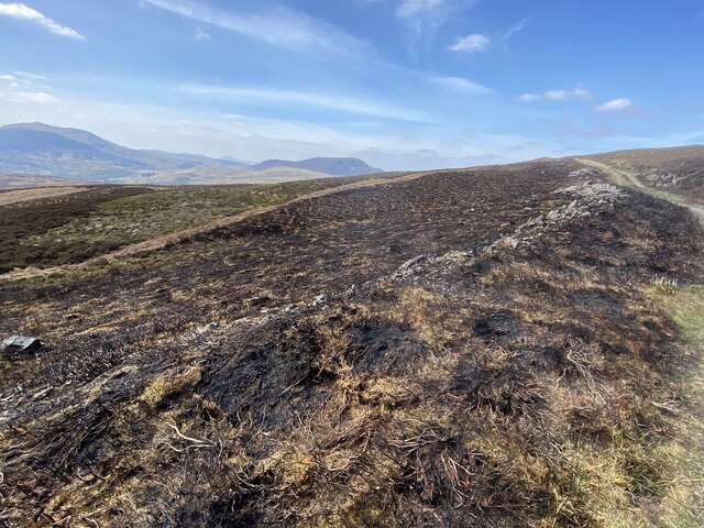
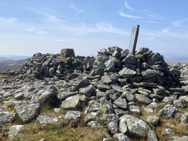
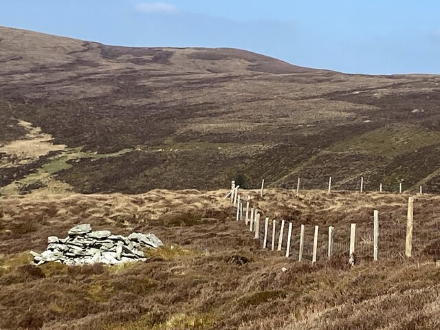
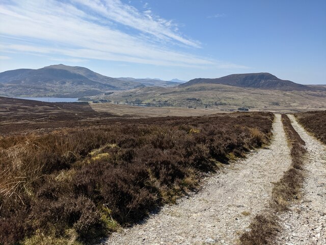
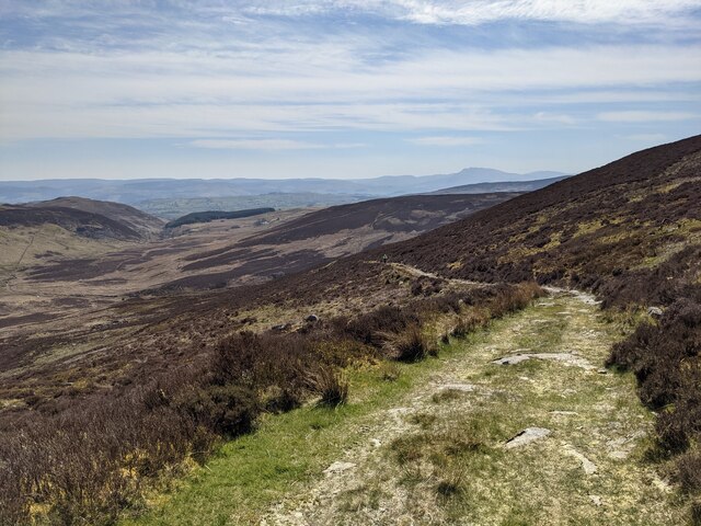
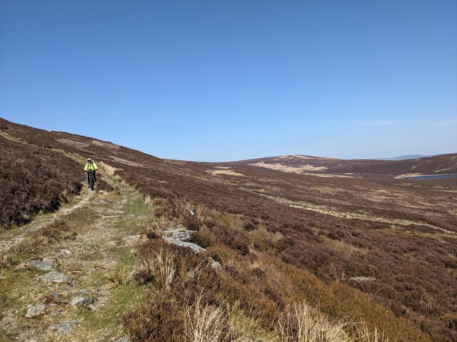
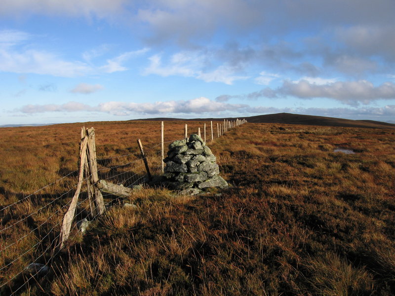
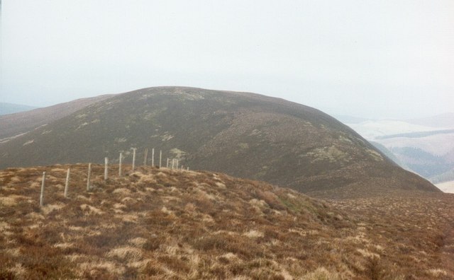
The community of Llandderfel is home to a population of around 800 residents. It covers an area of approximately 12 square miles, encompassing both rural landscapes and charming villages. The community is surrounded by rolling hills and stunning natural beauty, making it a popular destination for outdoor enthusiasts and nature lovers.
The main village within the community is also called Llandderfel. It is a quaint and peaceful village, known for its historic buildings and traditional Welsh charm. The village features a beautiful 14th-century church, St. Derfel's Church, which is a notable architectural and historical landmark.
Despite its small size, Llandderfel has a strong sense of community spirit and offers a range of amenities for its residents. These include a primary school, a village hall, and a local pub. The community also benefits from a variety of local events and activities throughout the year, fostering a sense of togetherness among its residents.
Llandderfel is conveniently located within close proximity to the town of Bala, which offers additional amenities and services. The community is also well-connected to other parts of Wales, with good transport links to neighboring towns and cities.
Overall, Llandderfel is a charming and idyllic community that offers a peaceful and rural lifestyle, surrounded by stunning natural landscapes and steeped in Welsh history and culture.
If you have any feedback on the listing, please let us know in the comments section below.
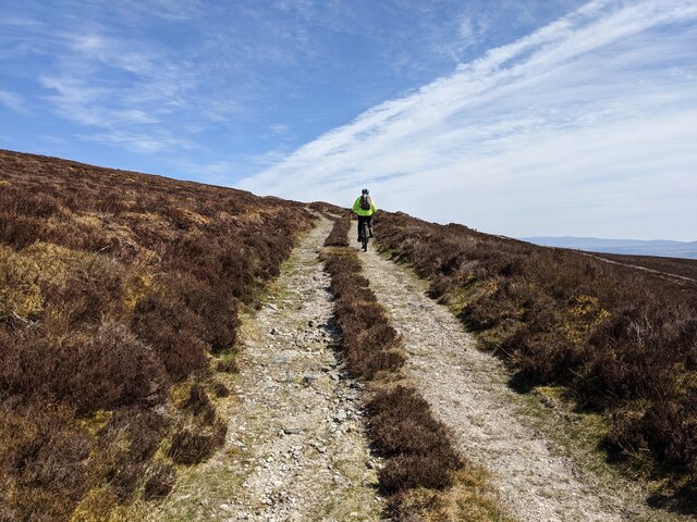
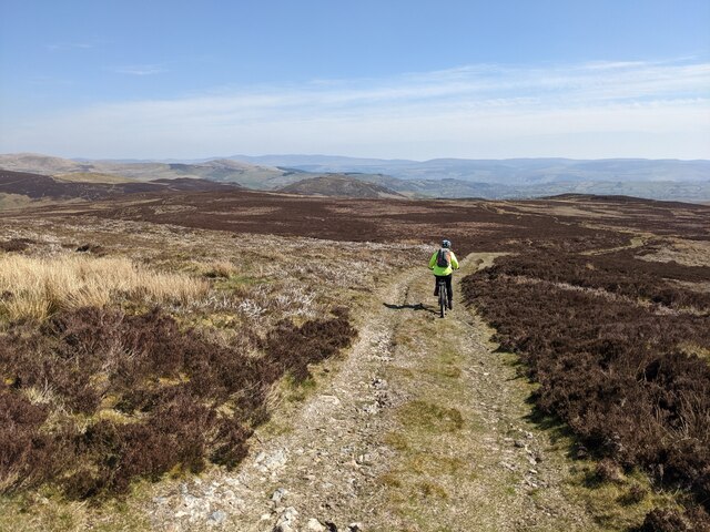
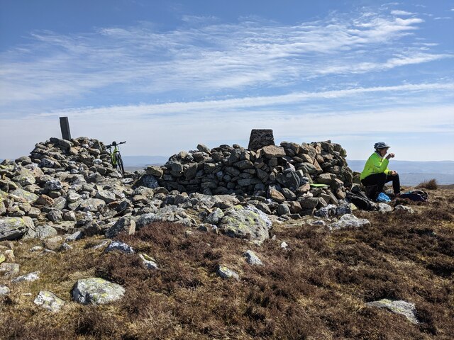
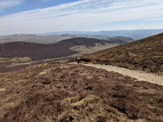
Llandderfel Images
Images are sourced within 2km of 52.970349/-3.67088 or Grid Reference SH8742. Thanks to Geograph Open Source API. All images are credited.


Llandderfel is located at Grid Ref: SH8742 (Lat: 52.970349, Lng: -3.67088)
Unitary Authority: Gwynedd
Police Authority: North Wales
What 3 Words
///under.outboard.charmingly. Near Bala, Gwynedd
Nearby Locations
Related Wikis
Waun Garnedd-y-filiast
Waun Garnedd-y-filiast is a top of Carnedd y Filiast on the border of the Snowdonia National park near Cerrigydrudion in North Wales. It is part of the...

Carnedd y Filiast (Cerrigydrudion)
Carnedd y Filiast is a mountain near Cerrigydrudion on the border of the Snowdonia National Park, North Wales and is 669 metres (2,195 ft) high. ��2...

Carnedd Llechwedd-llyfn
Carnedd Llechwedd-llyfn is a subsidiary summit of Carnedd y Filiast on the border of Snowdonia National Park in Llandderfel, in Gwynedd. The northern...
Trum y Gwragedd
Trum y Gwragedd is a top of Foel y Geifr in the Hirnantau. These hills rise from the south east shores of Bala Lake.The summit is boggy and marked by a...

Tyddyn Bridge Halt railway station
Tyddyn Bridge Halt was a railway station which served the village of Frongoch, Gwynedd, Wales. It was on the Great Western Railway's (GWR's) Bala Ffestiniog...

Llyn Celyn
Llyn Celyn (Welsh pronunciation: [ɬɨ̞n ˈkɛlɨ̞n]) is a reservoir constructed between 1960 and 1965 including the highly controversial Tryweryn flooding...
Canolfan Tryweryn
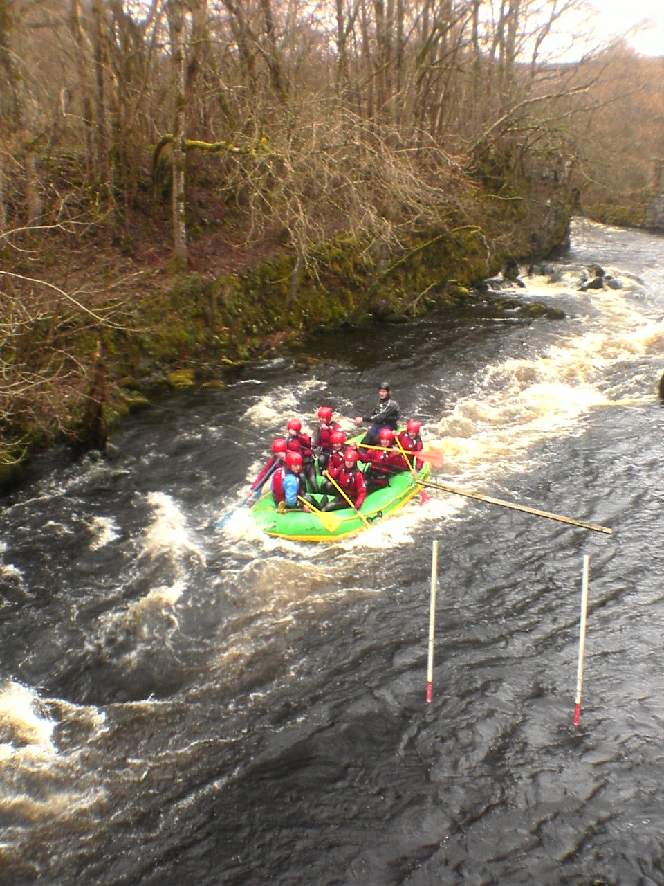
Canolfan Tryweryn is the National White Water Centre for Wales, and is based near Bala in north Wales. In 1986, it developed the first commercial white...

Capel Celyn
Capel Celyn was a rural community to the northwest of Bala in Gwynedd, Wales, in the Afon Tryweryn valley. The village and other parts of the valley were...
Nearby Amenities
Located within 500m of 52.970349,-3.67088Have you been to Llandderfel?
Leave your review of Llandderfel below (or comments, questions and feedback).