Gwernymynydd
Community in Flintshire
Wales
Gwernymynydd
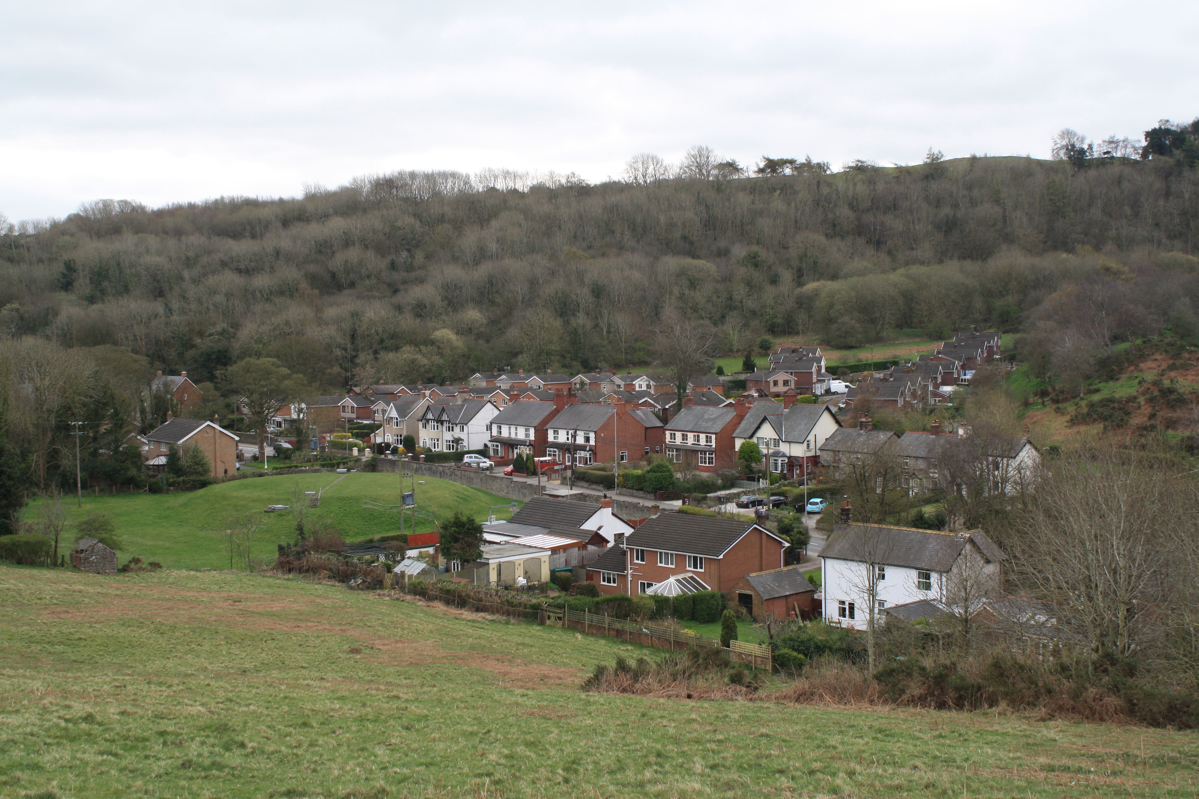
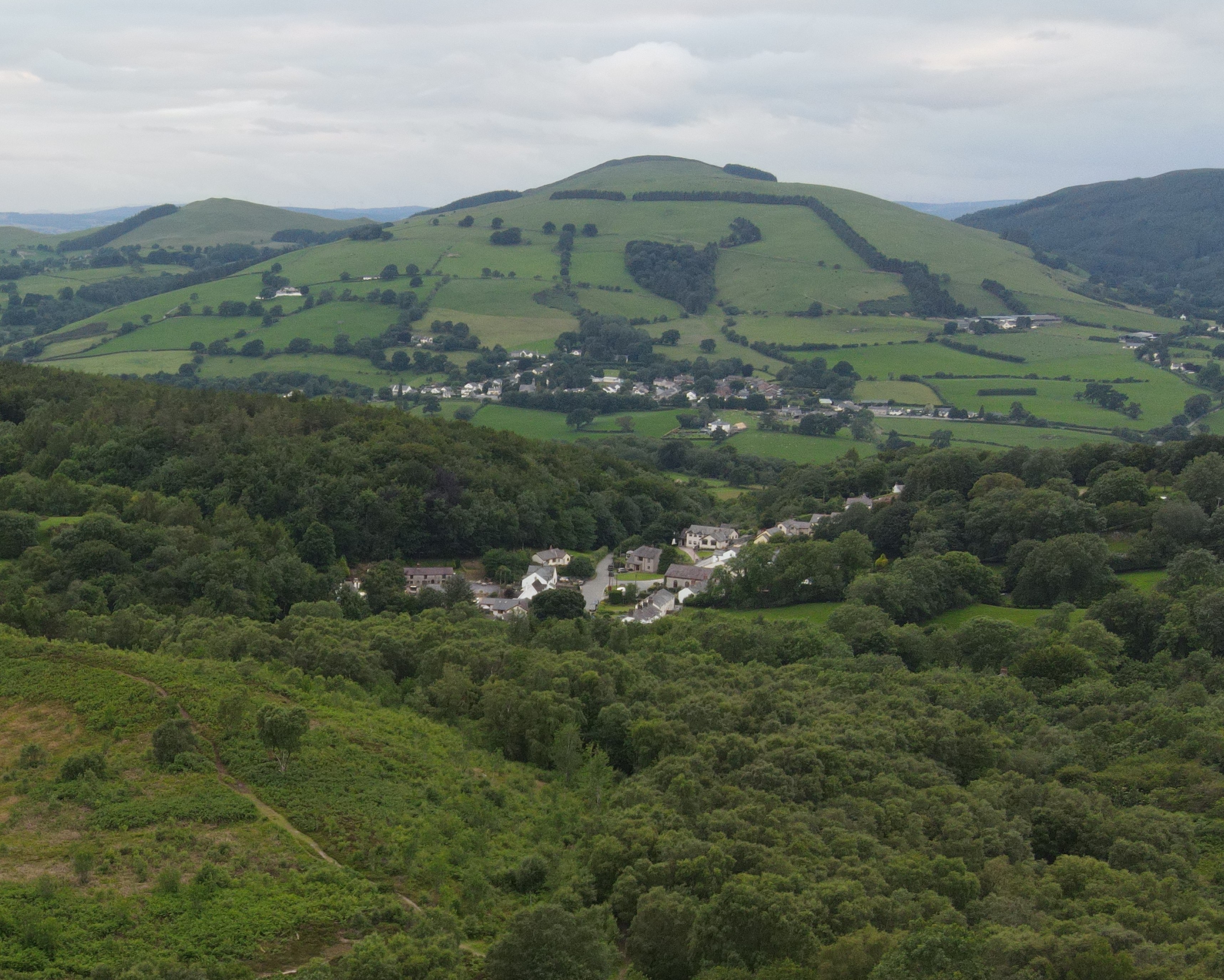
Gwernymynydd is a small village located in the county of Flintshire, Wales. It is situated in the northeastern part of the country, approximately 7 miles southwest of Mold and 11 miles south of the county town of Flint. The village is nestled in the picturesque Clwydian Range, an Area of Outstanding Natural Beauty, which offers stunning views and a peaceful environment.
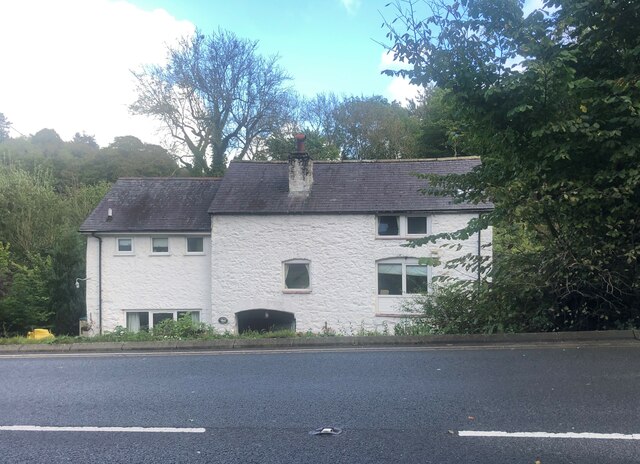
The community of Gwernymynydd consists of a mix of residential properties, ranging from traditional cottages to modern houses. The population of the village is relatively small, with around 1,000 residents. The community is close-knit and friendly, and there is a strong sense of community spirit.
Gwernymynydd is well-served by local amenities, including a primary school, a village hall, and a local convenience store. There are also several pubs and restaurants in the village, providing options for dining and socializing. The nearby market town of Mold offers a wider range of services and facilities, including supermarkets, shops, and leisure facilities.
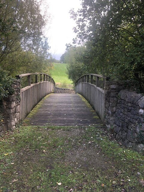
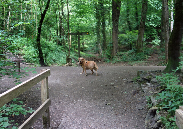
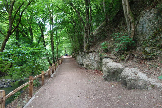
Nature lovers and outdoor enthusiasts will find plenty to explore in Gwernymynydd and its surrounding area. The Clwydian Range is a paradise for hikers and walkers, with numerous trails and paths to discover. There are also opportunities for cycling, horse riding, and fishing in the local area.
Overall, Gwernymynydd is a charming and peaceful village, offering a high quality of life for its residents and a tranquil escape for visitors.
If you have any feedback on the listing, please let us know in the comments section below.
Gwernymynydd Images
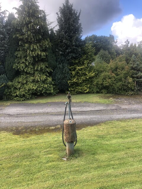
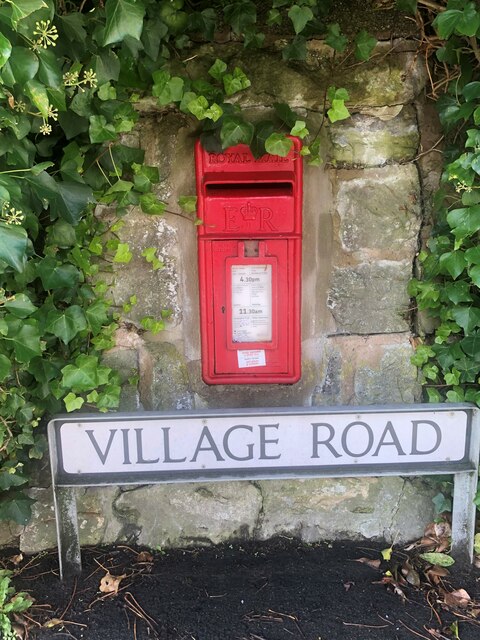
Images are sourced within 2km of 53.155969/-3.17722 or Grid Reference SJ2162. Thanks to Geograph Open Source API. All images are credited.


Gwernymynydd is located at Grid Ref: SJ2162 (Lat: 53.155969, Lng: -3.17722)
Unitary Authority: Flintshire
Police Authority: North Wales
What 3 Words
///cupcake.tacky.suckle. Near Mold, Flintshire
Nearby Locations
Related Wikis
Gwernymynydd
Gwernymynydd (Welsh for 'Alder trees on the mountain') is a village outside the market town of Mold in Flintshire, Wales. It forms part of the Gwernymynydd...

Cadole
Cadole is a village in Flintshire, Wales. It lies west of Gwernymynydd and Mold (Yr Wyddgrug), south of Gwernaffield and to the east of the Clwydian Range...

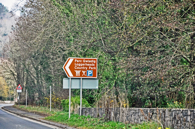
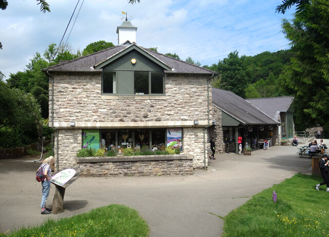
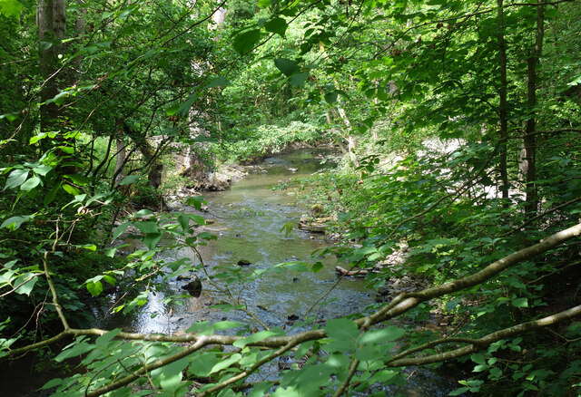
Loggerheads Country Park
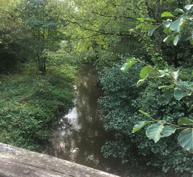
Loggerheads Country Park is a country park in the village of Loggerheads, Denbighshire, Wales. The park has a wooded river valley that follows the course...
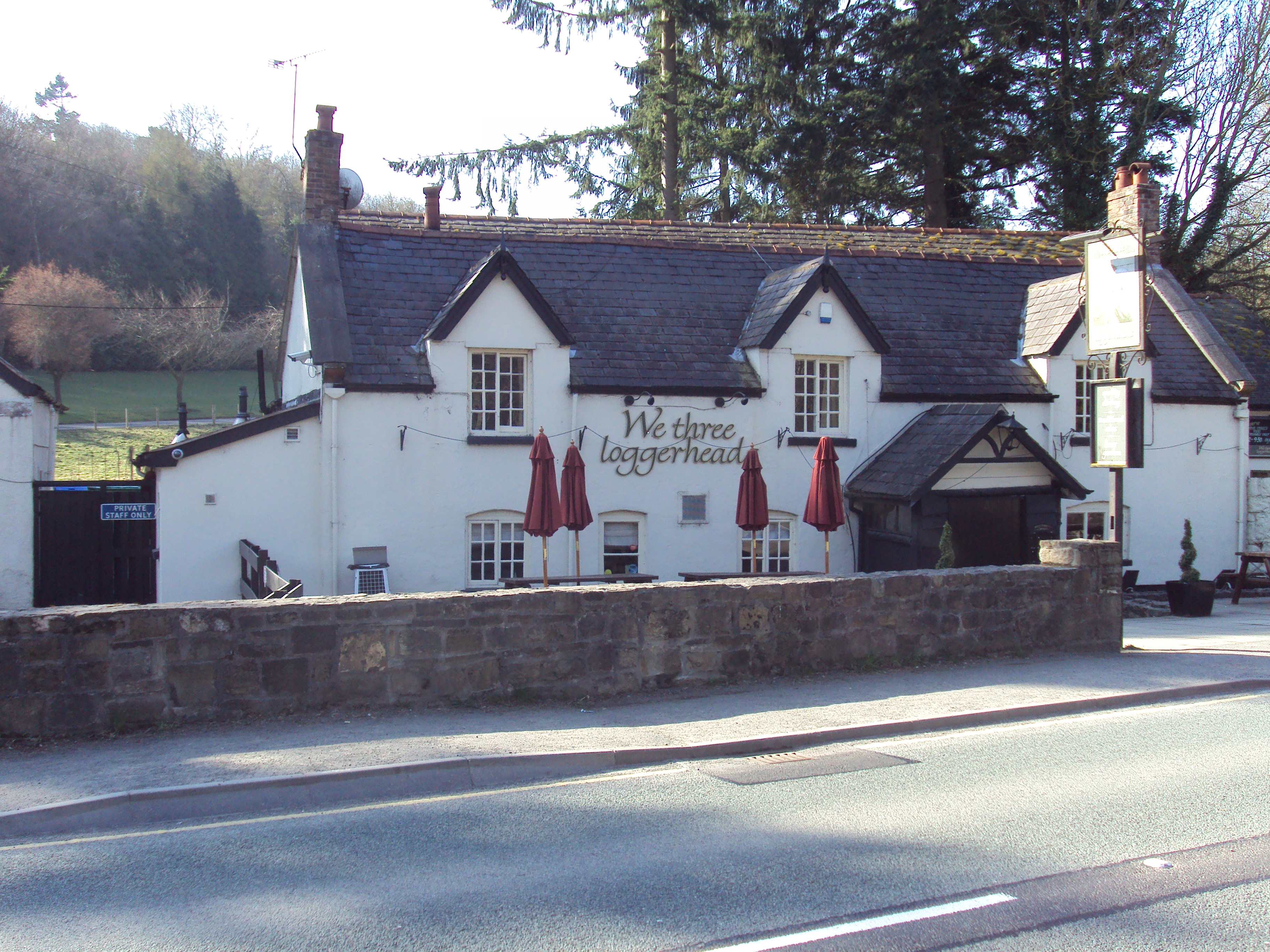
Loggerheads, Denbighshire
Loggerheads is a village in Denbighshire, Wales on the River Alyn, a tributary of the River Dee. It is the location of Loggerheads Country Park which follows...

Gwernaffield
Gwernaffield (Welsh: Y Waun), also known as Gwernaffield-y-Waun, is a village and electoral ward in Flintshire, Wales. It lies about three miles west of...
Maeshafn
Maeshafn is a small village in Denbighshire, Wales, near the border with Flintshire. Maeshafn lies several miles to the southwest of Mold. Overlooked...
Gwernaffield with Pantymwyn
Gwernaffield with Pantymwyn is a community in Flintshire, Wales with a population of 1942 as of the 2011 UK census. It includes the villages of Gwernaffield...

Mold Community Hospital
Mold Community Hospital (Welsh: Ysbyty Cymuned yr Wyddgrug) is a community hospital in Mold, Flintshire, Wales. It is managed by the Betsi Cadwaladr University...
Nearby Amenities
Located within 500m of 53.155969,-3.17722Have you been to Gwernymynydd?
Leave your review of Gwernymynydd below (or comments, questions and feedback).