Brickendon
Settlement in Hertfordshire East Hertfordshire
England
Brickendon
Brickendon is a charming village located in the county of Hertfordshire, England. Situated approximately 3 miles east of Hertford, the village is nestled amidst picturesque countryside, offering residents and visitors a tranquil and idyllic setting.
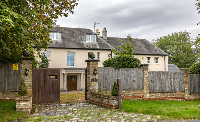
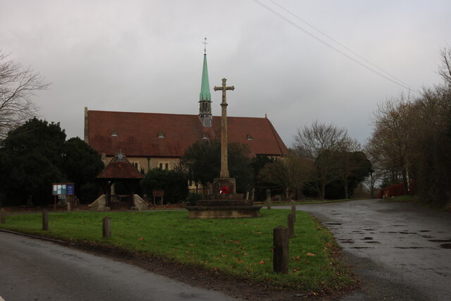
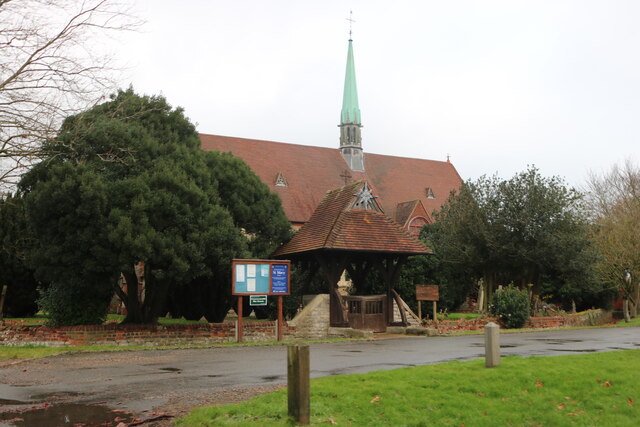
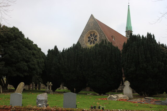
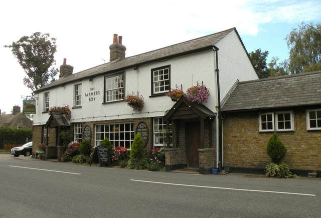
The village is renowned for its historic architecture, with many of its buildings dating back to the 17th and 18th centuries. The centerpiece of Brickendon is the All Saints Church, a stunning medieval church that adds to the village's timeless appeal. The church features intricate stonework and beautiful stained glass windows, attracting architecture enthusiasts and history buffs alike.
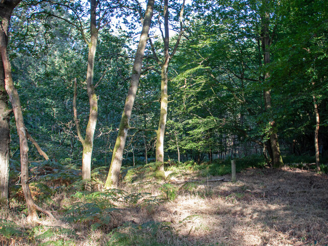
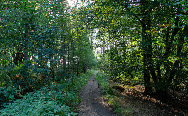
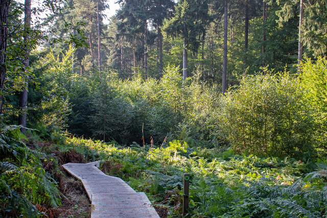
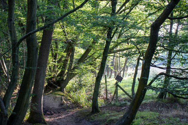
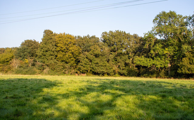
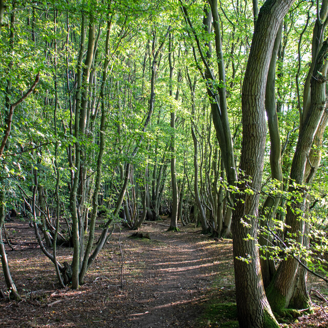
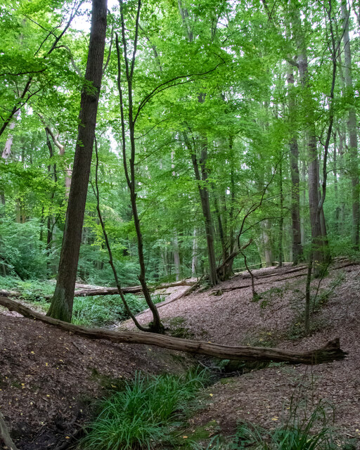
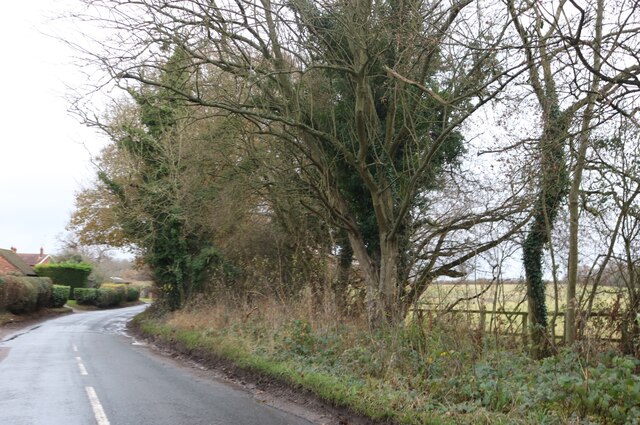
Surrounded by rolling hills and verdant fields, Brickendon provides ample opportunities for outdoor activities. The village is located near several nature reserves and country parks, offering residents and visitors a chance to explore the natural beauty of the area. Popular activities include walking, cycling, and birdwatching.
Brickendon is also known for its strong sense of community. The village has a close-knit population that actively participates in local events and organizations. The village hall hosts various social gatherings and events throughout the year, fostering a sense of togetherness among the residents.
Despite its peaceful atmosphere, Brickendon benefits from its proximity to nearby towns and cities. Hertford, the nearest town, offers a range of amenities including shops, restaurants, and entertainment options. Additionally, the village has excellent transport links, with easy access to major roads and railway stations, making it an ideal location for commuters.
In summary, Brickendon is a picturesque village in Hertfordshire, known for its historic architecture, stunning natural surroundings, and strong sense of community. It provides residents and visitors with a peaceful and charming retreat from the hustle and bustle of nearby urban centers.
If you have any feedback on the listing, please let us know in the comments section below.
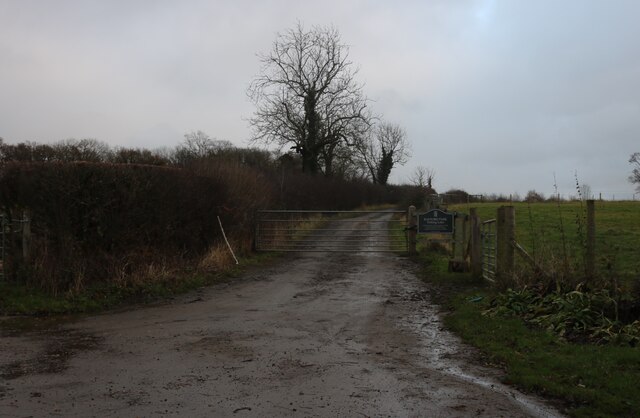
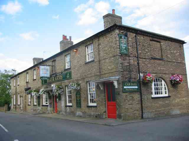
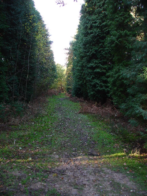
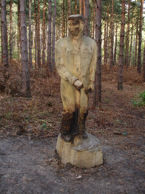
Brickendon Images
Images are sourced within 2km of 51.754909/-0.085286 or Grid Reference TL3207. Thanks to Geograph Open Source API. All images are credited.


Brickendon is located at Grid Ref: TL3207 (Lat: 51.754909, Lng: -0.085286)
Administrative County: Hertfordshire
District: East Hertfordshire
Police Authority: Hertfordshire
What 3 Words
///arrow.stem.asleep. Near Little Amwell, Hertfordshire
Nearby Locations
Related Wikis
Brickendon
Brickendon is a village in the civil parish of Brickendon Liberty in the district of East Hertfordshire about 3 miles (4.8 km) south of the county town...

Wormley-Hoddesdonpark Wood North
Wormley-Hoddesdonpark Wood North is a 143.9-hectare (356-acre) woodland area in Hertfordshire which has been designated as a biological site of Special...
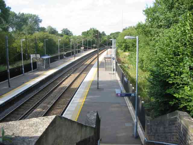
Bayford railway station
Bayford railway station serves the villages of Bayford and Brickendon in Hertfordshire, England. The station is on the Hertford Loop Line, 16 miles 56...
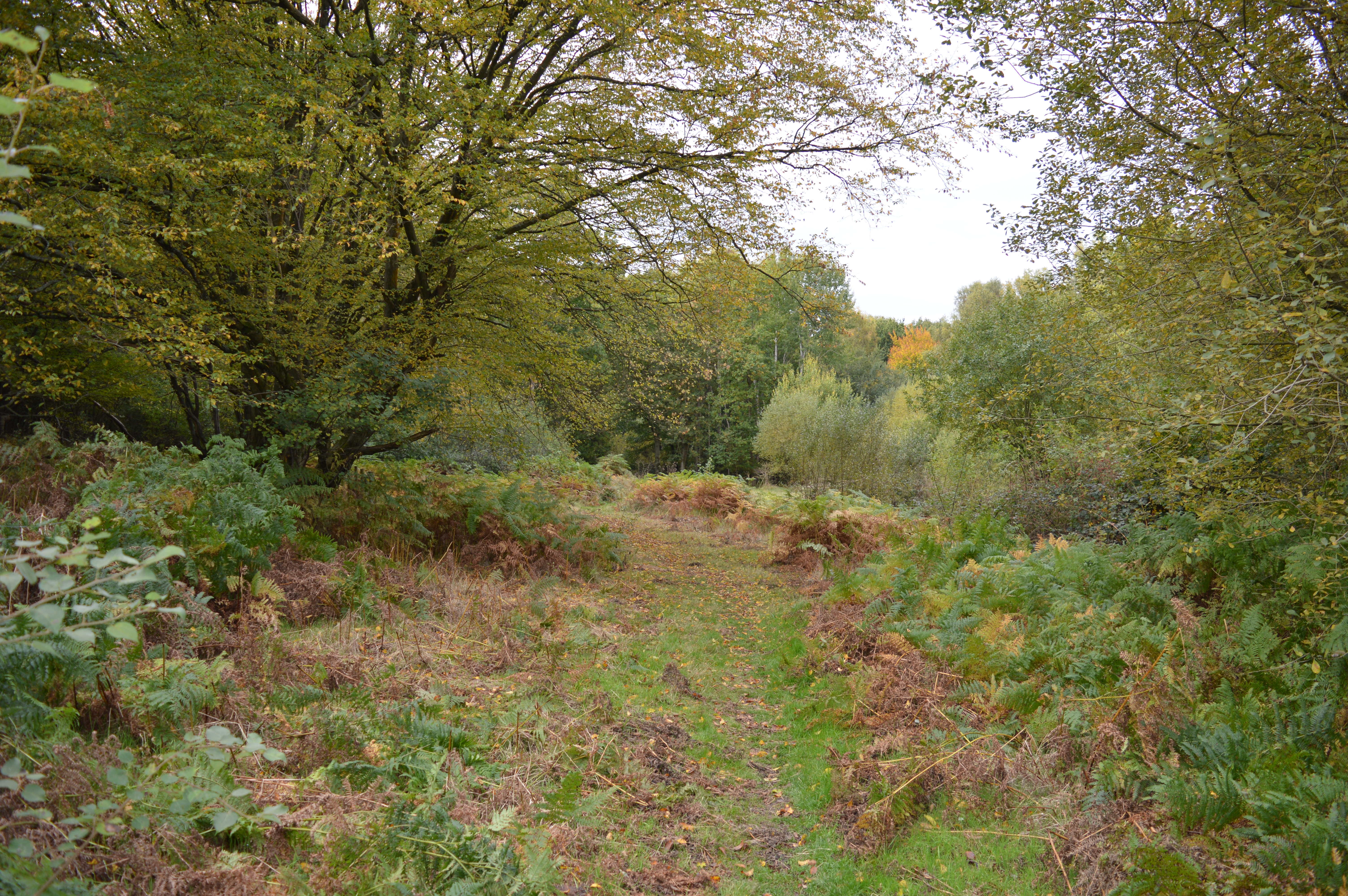
Broxbourne Woods
Broxbourne Woods are a 239.1 hectare National Nature Reserve west of Broxbourne in Hertfordshire. The site is Hertfordshire's only National Nature Reserve...

Bayford, Hertfordshire
Bayford is a village and civil parish in the East Hertfordshire district of Hertfordshire, England. According to the 2001 census it had a population of...
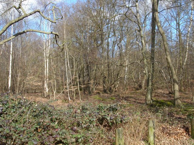
Wormley-Hoddesdonpark Wood South
Wormley-Hoddesdonpark Wood South is a 192.5 hectares (476 acres) is a biological site of Special Scientific Interest near Cheshunt in Hertfordshire. It...

Bayfordbury Observatory
Bayfordbury Observatory is the University of Hertfordshire's astronomical and atmospheric physics remote sensing observatory, and one of the largest teaching...
Danemead
Danemead is a 5.6-hectare nature reserve west of Hoddesdon in Hertfordshire, managed by the Herts and Middlesex Wildlife Trust. It is part of the Wormley...
Related Videos

A day in a paradise wildlife park in the UK | Come travel with me | Day out | good for kids
the paradise wildlife park is an animal park located in Broxbourne in Hertfordshire, England good for kids.

Paradise Wildlife Park walking tour of animals, dinosaurs, the train and slide for pupils with SEND
In this video I created a walking tour of Paradise Wildlife Park walking tour of animals, dinosaurs, the train and slide for pupils with ...

My trip to Paradise Wildlife Park
Today as promised I went to Paradise Wildlife Park in Hertfordshire. I saw many animals like the new sun bears and jaguars.
Nearby Amenities
Located within 500m of 51.754909,-0.085286Have you been to Brickendon?
Leave your review of Brickendon below (or comments, questions and feedback).